Mare's Pool
Lake, Pool, Pond, Freshwater Marsh in Somerset Somerset West and Taunton
England
Mare's Pool
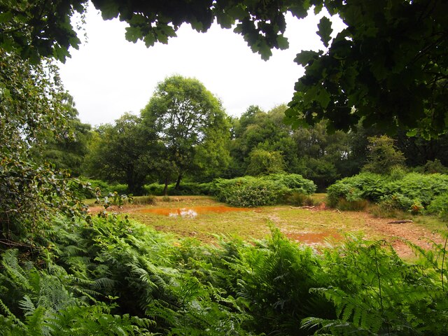
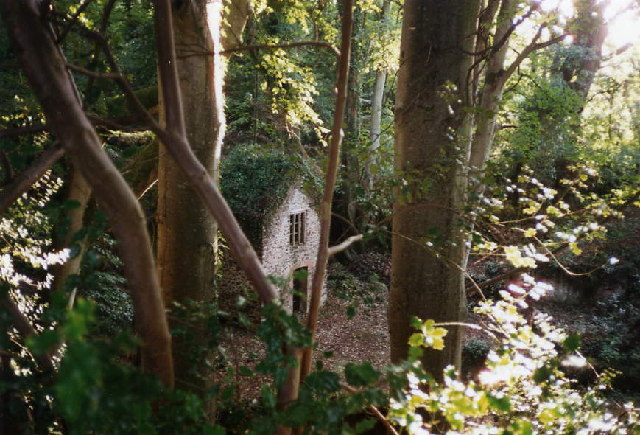
Mare's Pool, located in Somerset, England, is a notable freshwater feature that encompasses various natural elements such as a lake, pool, pond, and freshwater marsh. Spanning across an area of approximately 10 hectares, Mare's Pool is a significant ecological site that supports a diverse range of flora and fauna.
The pool itself is characterized by still, calm waters, reflecting the surrounding landscape. It is fed by several small streams and springs, ensuring a constant flow of freshwater. The pool's depth varies throughout, with some sections reaching up to four meters deep. This depth provides a suitable habitat for various aquatic plants and animals.
Surrounding Mare's Pool is a lush marshland, rich in vegetation and wildlife. The freshwater marsh is home to a variety of plant species, including reeds, sedges, and water lilies. These plants create a dense and vibrant habitat that supports numerous animal species, such as frogs, newts, and water birds.
The pool and its surrounding areas are a haven for birdwatchers and nature enthusiasts. Visitors can spot a wide range of bird species, including herons, swans, ducks, and various migratory birds that use the pool as a stopover during their journeys.
Mare's Pool, Somerset, is not only a natural beauty but also an important ecological site. It plays a crucial role in maintaining the local ecosystem and providing a habitat for numerous plant and animal species. Whether for leisurely walks, birdwatching, or simply enjoying the tranquility of nature, Mare's Pool offers a peaceful and captivating experience for all visitors.
If you have any feedback on the listing, please let us know in the comments section below.
Mare's Pool Images
Images are sourced within 2km of 51.163721/-3.2097611 or Grid Reference ST1541. Thanks to Geograph Open Source API. All images are credited.
Mare's Pool is located at Grid Ref: ST1541 (Lat: 51.163721, Lng: -3.2097611)
Administrative County: Somerset
District: Somerset West and Taunton
Police Authority: Avon and Somerset
What 3 Words
///cable.defeated.squirts. Near Nether Stowey, Somerset
Nearby Locations
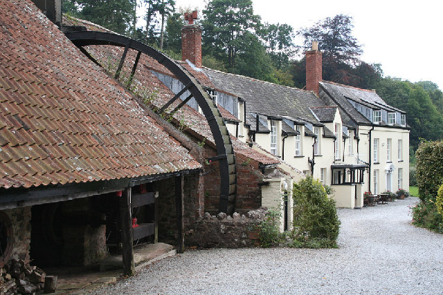
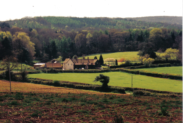
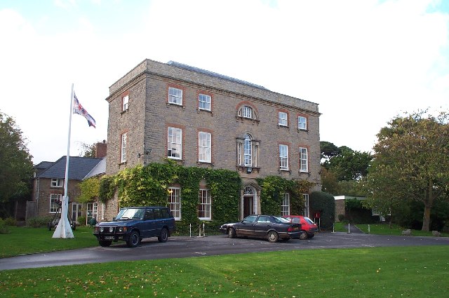
Related Wikis

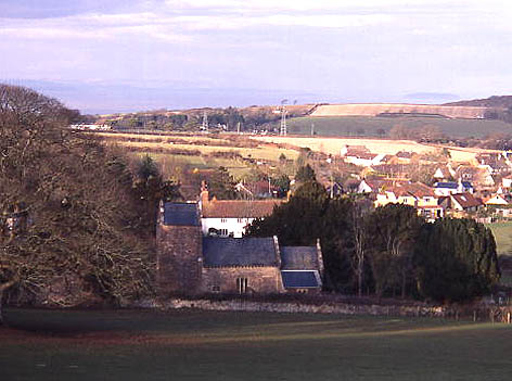
Holford
Holford is a village and civil parish in West Somerset within the Quantock Hills Area of Outstanding Natural Beauty. It is located about 10 miles (16 km...
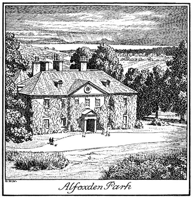
Alfoxton House
Alfoxton House, also known as Alfoxton Park or Alfoxden, is an 18th-century country house in Holford, Somerset, England, within the Quantock Hills Area...

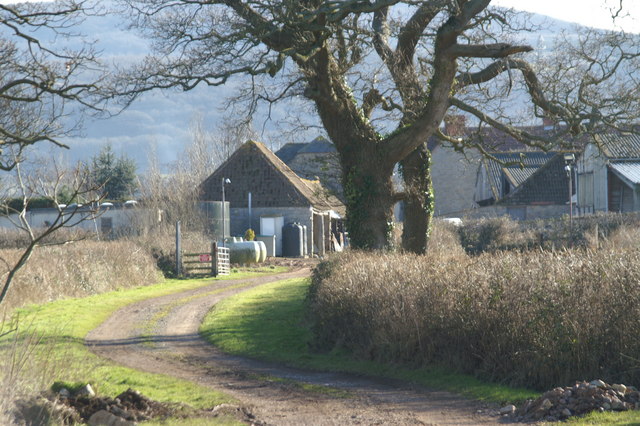
Ge-mare Farm Fields
Ge-mare Farm Fields (grid reference ST155424) is a 4.1 hectare (10.3 acre) biological Site of Special Scientific Interest near Holford on the Quantock...

Kilve
Kilve is a village in the Somerset West and Taunton district of Somerset, England, within the Quantock Hills Area of Outstanding Natural Beauty, the first...
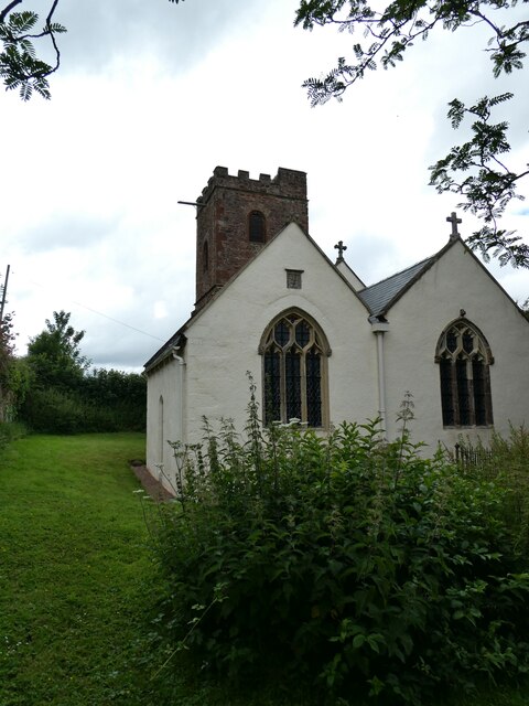
All Saints Church, Dodington
All Saints Church at Dodington in the parish of Holford, Somerset, England was rebuilt and enlarged in the 15th century. It has been designated by English...

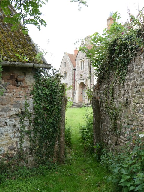
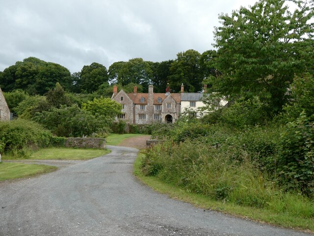
Dodington Hall
Dodington Hall in Dodington, within the English county of Somerset, was built in the 15th century. It is a Grade II* listed building.The house is built...

Dowsborough
Dowsborough Camp (or Danesborough or Dawesbury) is an Iron Age hill fort on the Quantock Hills near Nether Stowey in Somerset, England. It has been designated...

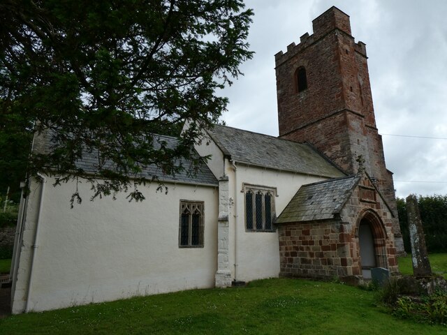
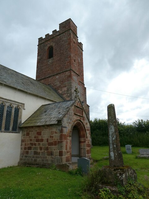
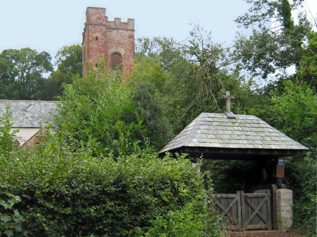
St Mary's Church, Stringston
The Anglican St Mary's Church at Stringston in the English county of Somerset dates from the 17th century. It has been designated as a Grade II listed...
Nearby Amenities
Located within 500m of 51.163721,-3.2097611Have you been to Mare's Pool?
Leave your review of Mare's Pool below (or comments, questions and feedback).