Broad Wood Plantation

Wood, Forest in Somerset Somerset West and Taunton

England

Broad Wood Plantation

Barns by East Kilton Cottages
Barns by East Kilton Cottages Credit: David Smith

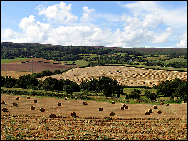
Broad Wood Plantation is a picturesque forest located in Somerset, England. Covering an extensive area of land, the plantation is known for its dense woodland and diverse range of tree species. It is a popular destination for nature enthusiasts and offers a tranquil retreat for those seeking solace in the great outdoors.

The plantation boasts a rich history, dating back several centuries. It was originally established as a timber resource during the 18th century, supplying wood for various industries in the region. Today, the forest continues to serve as a valuable source of timber, contributing to the local economy.

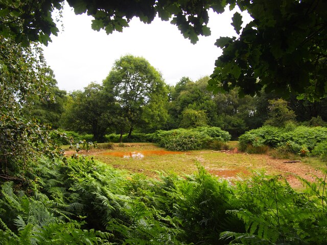
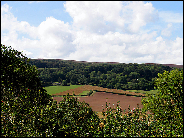
The landscape of Broad Wood Plantation is characterized by a mix of deciduous and coniferous trees, creating a vibrant tapestry of colors throughout the seasons. Species such as oak, beech, and ash dominate the woodland, providing a habitat for a wide range of wildlife including birds, mammals, and insects.

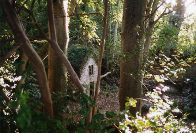
Visitors to the plantation can enjoy a network of walking trails that meander through the forest, offering glimpses of its natural beauty at every turn. The peaceful ambiance and tranquil surroundings make it an ideal location for hiking, birdwatching, and photography.

In addition to its natural attractions, Broad Wood Plantation also provides recreational opportunities for visitors. The forest is equipped with picnic areas, allowing families and friends to enjoy a leisurely lunch amidst the serene surroundings. It is also a popular spot for camping and outdoor activities, with designated areas for tents and campfires.

Overall, Broad Wood Plantation is a captivating destination that showcases the natural beauty of Somerset. Its lush woodland, diverse wildlife, and recreational offerings make it a must-visit location for nature lovers and adventurers alike.

If you have any feedback on the listing, please let us know in the comments section below.

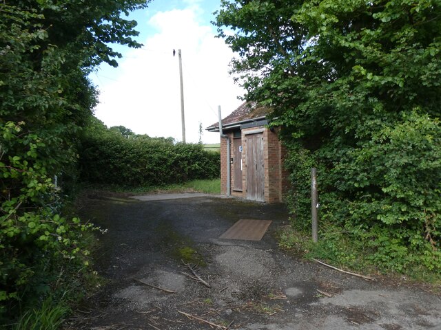
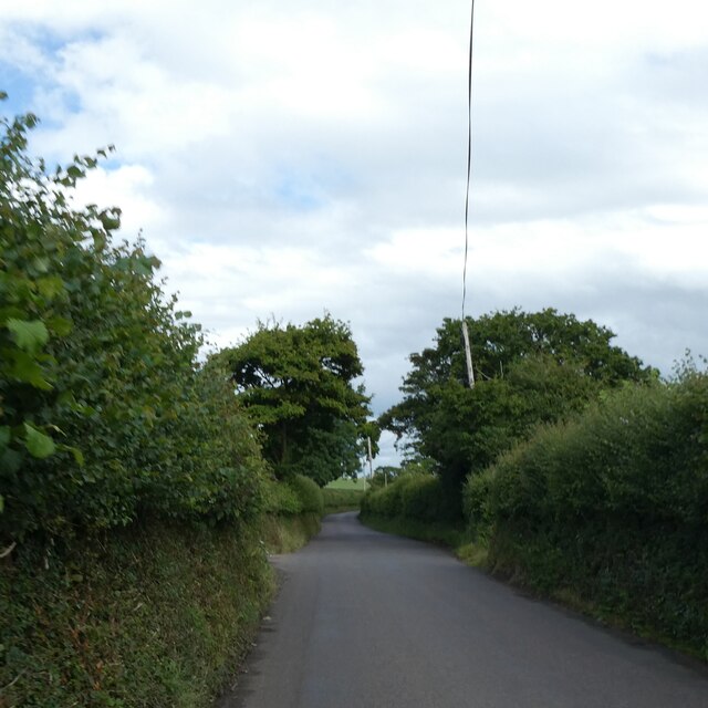
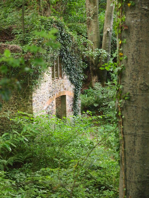
Broad Wood Plantation Images

Images are sourced within 2km of 51.170816/-3.2079728 or Grid Reference ST1541. Thanks to Geograph Open Source API. All images are credited.

Barns by East Kilton Cottages
Govett's Copse and Waltham's Copse, south of Kilton
Telephone exchange east of Kilve
Pole by road to Stringston with overhead phone lines and  Road lined with dense hedges
Pole by road to Stringston with overhead phone lines and
Road lined with dense hedges
Field on south-facing slope near Stringston
Stone wall, and Edward 7th wall box, Stringston The wall is the boundary for a field or paddock or garden, and the presence of the wall box indicates it has been here for well over a century
Stone wall, and Edward 7th wall box, Stringston
The wall is the boundary for a field or paddock or garden, and the presence of the wall box indicates it has been here for well over a century
Pool Below Woodlands Hill
Remains of the Silk Mill, Holford Used as a backdrop in the Brian Adams video for 'Everything I do'.  Another location used was nearby at  Quantock's Head.
Remains of the Silk Mill, Holford
Used as a backdrop in the Brian Adams video for 'Everything I do'. Another location used was nearby at Quantock's Head.
Farmland Ge-Mare Farmland west of the A39 looking towards Crooked Copse from the A39. This farmland is situated in the centre of the lower half of the grid square.
Farmland
Ge-Mare Farmland west of the A39 looking towards Crooked Copse from the A39. This farmland is situated in the centre of the lower half of the grid square.
Crooked Copse Crooked Copse, in the centre of the picture, is found in the south eastern section of the square and includes some farmland.
Crooked Copse
Crooked Copse, in the centre of the picture, is found in the south eastern section of the square and includes some farmland.
Kilve The village of Kilve lies in the south eastern section of the grid square. This view was taken from the A39 looking north west towards Kilve and East Wood.
Kilve
The village of Kilve lies in the south eastern section of the grid square. This view was taken from the A39 looking north west towards Kilve and East Wood.
Holford: remains of water-powered silk mill
Holford: waterwheel at Combe House Hotel The 26’ diameter overshot waterwheel was cast by Bridgwater ironfounder H Culverwell & Co in 1892 to replace an earlier wheel. It was used to grind oak bark for the tannery complex established here in the 1840s by James Hayman. When the tannery closed in 1900 the waterwheel was adapted to other uses such as grinding grain for grist, cutting chaff, chopping apples for the cider press and generating electricity. It also cracked stones in a nearby quarry. The gearing survives too. Combe House Hotel is open to non residents for lunches and teas
Holford: waterwheel at Combe House Hotel
The 26’ diameter overshot waterwheel was cast by Bridgwater ironfounder H Culverwell & Co in 1892 to replace an earlier wheel. It was used to grind oak bark for the tannery complex established here in the 1840s by James Hayman. When the tannery closed in 1900 the waterwheel was adapted to other uses such as grinding grain for grist, cutting chaff, chopping apples for the cider press and generating electricity. It also cracked stones in a nearby quarry. The gearing survives too. Combe House Hotel is open to non residents for lunches and teas
Kilve Court This residential education centre is owned by Somerset County Council
Kilve Court
This residential education centre is owned by Somerset County Council
West Kilton Farm. A large old farmhouse on the southern edge of the village. On the other side of the lane is East Kilton Farm!
West Kilton Farm.
A large old farmhouse on the southern edge of the village. On the other side of the lane is East Kilton Farm!
Footpath to Lower Hill Farm. The grassy footpath runs straight ahead over the stile. The roof of Lower Hill Farm is just visible above the sheep.
Footpath to Lower Hill Farm.
The grassy footpath runs straight ahead over the stile. The roof of Lower Hill Farm is just visible above the sheep.
Holford church and village, Bristol Channel in background Steepholm island visible in Bristol Channel
Holford church and village, Bristol Channel in background
Steepholm island visible in Bristol Channel
Stringston church
Stringston church
Show me another place!

Broad Wood Plantation is located at Grid Ref: ST1541 (Lat: 51.170816, Lng: -3.2079728)

Administrative County: Somerset

District: Somerset West and Taunton

Police Authority: Avon and Somerset

What 3 Words

///tomorrow.cyber.toolkit. Near Nether Stowey, Somerset

Related Wikis

Ge-mare Farm Fields

Ge-mare Farm Fields (grid reference ST155424) is a 4.1 hectare (10.3 acre) biological Site of Special Scientific Interest near Holford on the Quantock...
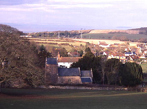
Holford

Holford is a village and civil parish in West Somerset within the Quantock Hills Area of Outstanding Natural Beauty. It is located about 10 miles (16 km...

Kilve

Kilve is a village in the Somerset West and Taunton district of Somerset, England, within the Quantock Hills Area of Outstanding Natural Beauty, the first...
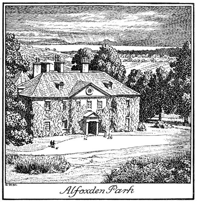
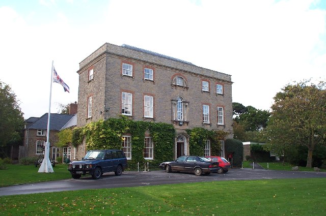
Alfoxton House

Alfoxton House, also known as Alfoxton Park or Alfoxden, is an 18th-century country house in Holford, Somerset, England, within the Quantock Hills Area...

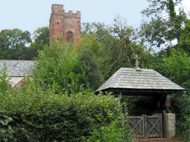
All Saints Church, Dodington

All Saints Church at Dodington in the parish of Holford, Somerset, England was rebuilt and enlarged in the 15th century. It has been designated by English...

Dodington Hall

Dodington Hall in Dodington, within the English county of Somerset, was built in the 15th century. It is a Grade II* listed building.The house is built...

Church of Saint Mary, Kilve

The Anglican Church of St Mary in Kilve, Somerset, England was built in the 14th century. It is a Grade II* listed building. == History == The first church...

Stringston

Stringston is a village and civil parish on the northern edge of the Quantock Hills in the English county of Somerset. The village is 10 miles (16 km)...

Nearby Amenities

Located within 500m of 51.170816,-3.2079728
Power: tower
Lat/Long: 51.172204/-3.2076005
Power: tower
Lat/Long: 51.1712413/-3.205177
Power: tower
Lat/Long: 51.171019/-3.204375
Power: tower
Lat/Long: 51.1726807/-3.2130297
The data included in this document is from www.openstreetmap.org. The data is made available under ODbL.

Have you been to Broad Wood Plantation?

Leave your review of Broad Wood Plantation below (or comments, questions and feedback).