The Valley
Valley in Pembrokeshire
Wales
The Valley
The Valley is a small village located in the county of Pembrokeshire, Wales. Situated in the southwestern part of the country, it is part of the historic region of Dyfed. The village is nestled in a picturesque valley, hence its name, and is surrounded by rolling hills and beautiful countryside.
The Valley is primarily a residential area, with a population of around 1,500 people. It is a close-knit community, known for its friendly and welcoming atmosphere. The village offers a range of amenities and services, including a primary school, a community center, and a few small shops and businesses.
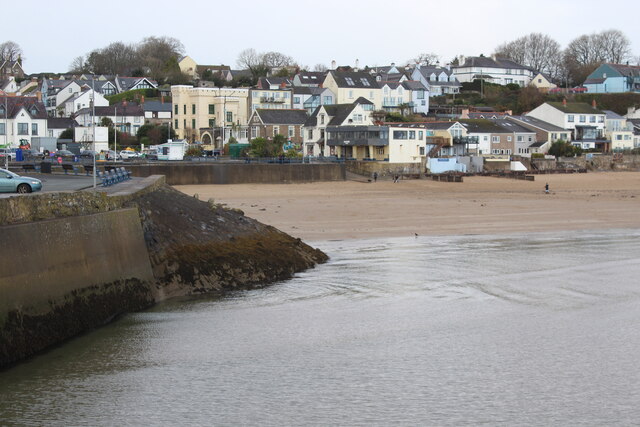
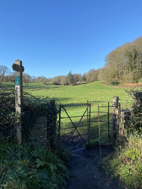
One of the main attractions in The Valley is its proximity to the stunning Pembrokeshire Coast National Park. This designated area of outstanding natural beauty is renowned for its rugged cliffs, sandy beaches, and diverse wildlife. The village is a popular base for outdoor enthusiasts and nature lovers, who can explore the nearby coastal paths, go birdwatching, or partake in water sports such as surfing and kayaking.
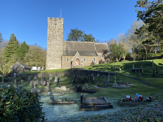
In addition to its natural beauty, The Valley is also rich in history and heritage. The area is dotted with ancient archaeological sites, including burial chambers and standing stones, which provide insight into its ancient past.
Overall, The Valley offers a peaceful and idyllic setting, with its stunning surroundings and strong sense of community. It is a perfect destination for those seeking a tranquil retreat or an active outdoor adventure in the heart of the Welsh countryside.
If you have any feedback on the listing, please let us know in the comments section below.
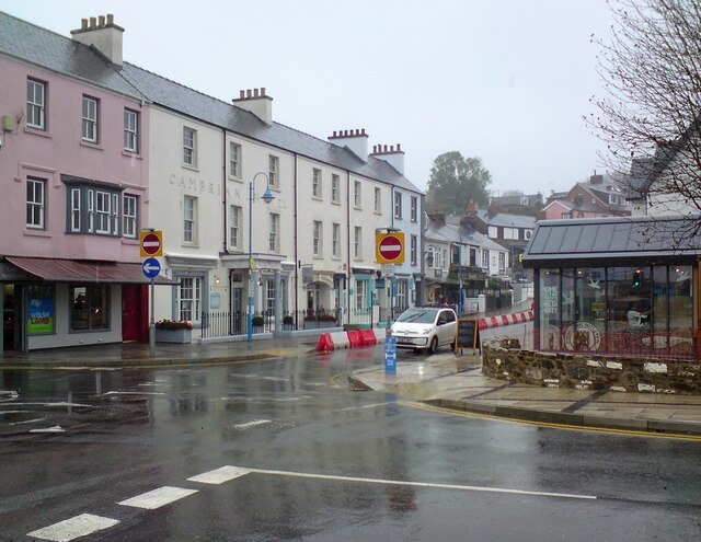
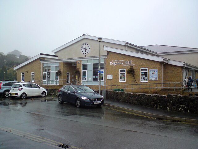
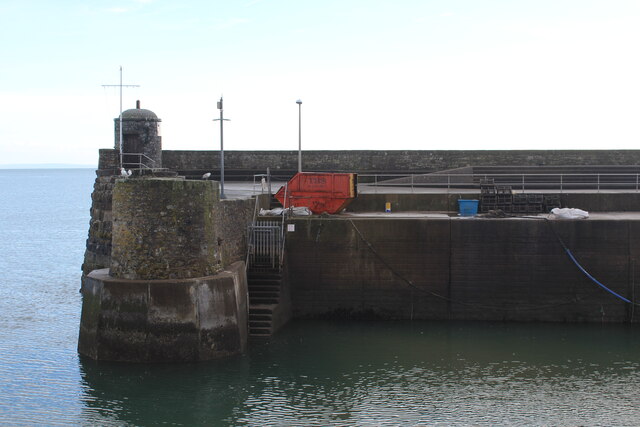
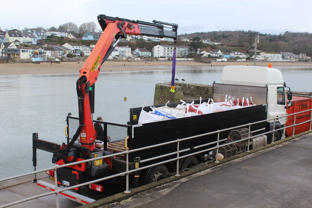
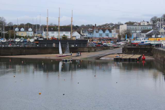
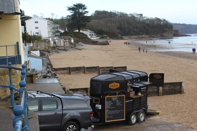
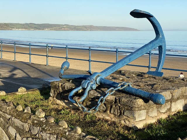
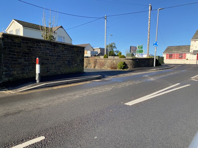
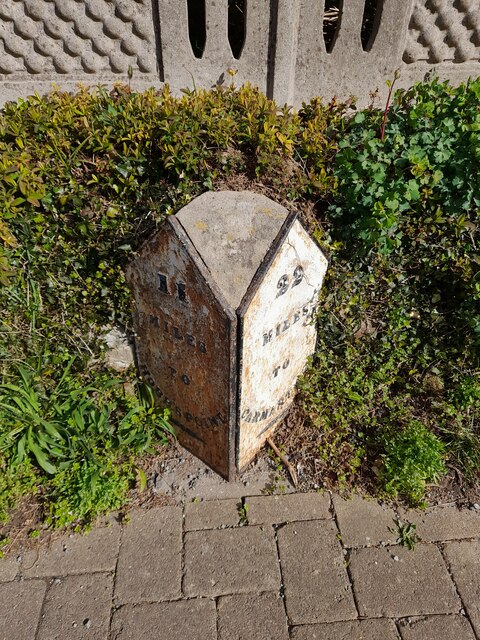
The Valley Images
Images are sourced within 2km of 51.715127/-4.7228538 or Grid Reference SN1105. Thanks to Geograph Open Source API. All images are credited.


The Valley is located at Grid Ref: SN1105 (Lat: 51.715127, Lng: -4.7228538)
Unitary Authority: Pembrokeshire
Police Authority: Dyfed Powys
What 3 Words
///relishes.caravans.hello. Near Saundersfoot, Pembrokeshire
Nearby Locations
Related Wikis

Pentlepoir
Pentlepoir is a village in Pembrokeshire, Wales, approximately 3⁄4 mile (1.2 km) south of Kilgetty and 1 mile (1.6 km) west of Saundersfoot. The A478...
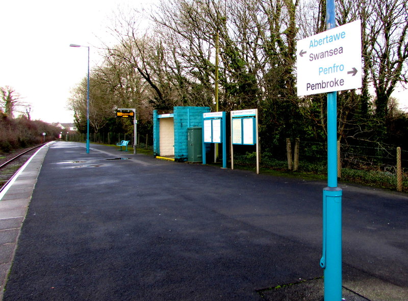
Saundersfoot railway station
Saundersfoot railway station is 1 mile (1.6 km) from Saundersfoot, Pembrokeshire, Wales. It is managed by Transport for Wales Rail. It is usually a request...
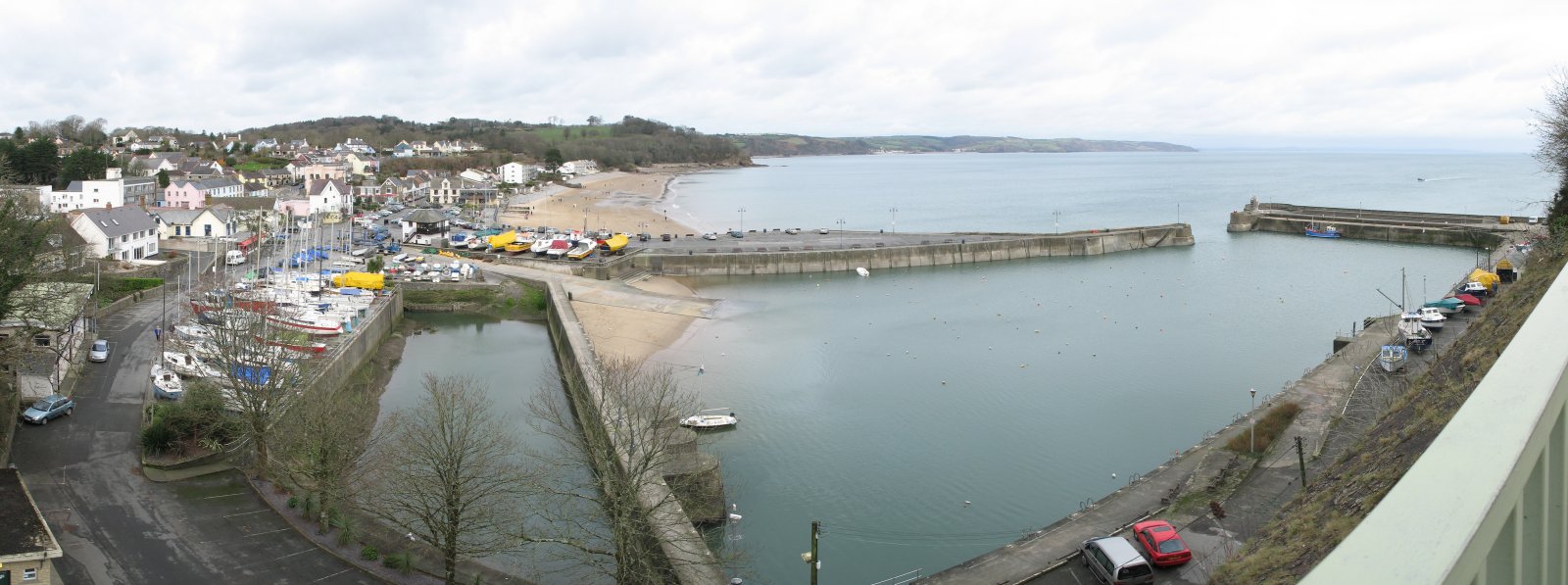
Saundersfoot
Saundersfoot (Welsh: Llanusyllt; Old Welsh: Llanussyllt) is a large village and community (and former electoral ward) in Pembrokeshire, Wales. It is near...
Kilgetty
Kilgetty (Welsh: Cilgeti; ) is a village immediately north of Saundersfoot in Pembrokeshire, Wales, at the junction of the A477 between St. Clears and...
Nearby Amenities
Located within 500m of 51.715127,-4.7228538Have you been to The Valley?
Leave your review of The Valley below (or comments, questions and feedback).