The Valley
Settlement in Pembrokeshire
Wales
The Valley
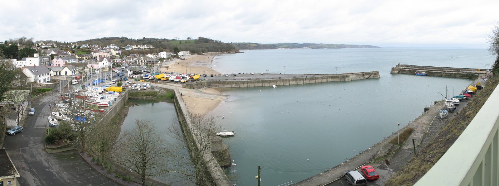
The Valley is a small village located in the county of Pembrokeshire, Wales. Situated approximately 5 miles from the popular coastal town of Tenby, The Valley is nestled in a picturesque valley surrounded by rolling hills and lush countryside.
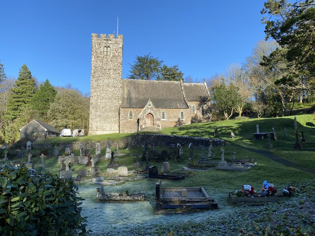
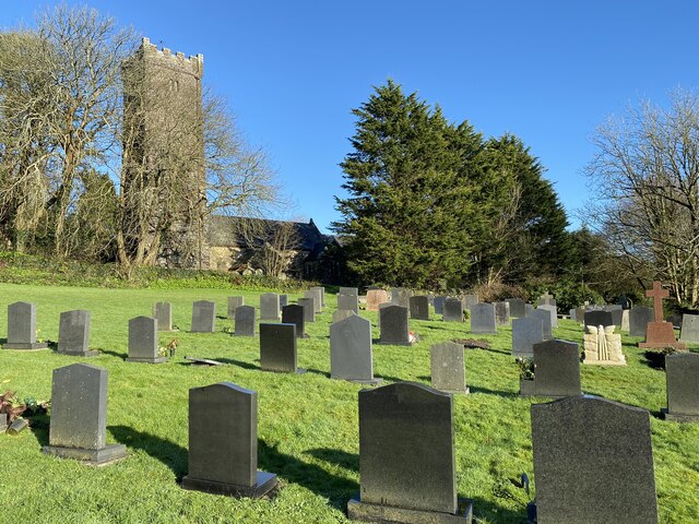
Despite its small size, The Valley boasts a close-knit community and a tranquil atmosphere that attracts residents and visitors alike. The village is primarily residential, with a mix of traditional Welsh cottages and more modern houses. The charming village church, St. John the Baptist, stands as a focal point, reflecting the area's rich history.
The Valley offers a range of amenities to cater to residents' needs. There is a local shop where villagers can find everyday essentials, and a pub that serves as a gathering place for locals and visitors to socialize. The village also has a primary school, providing education for the younger population.
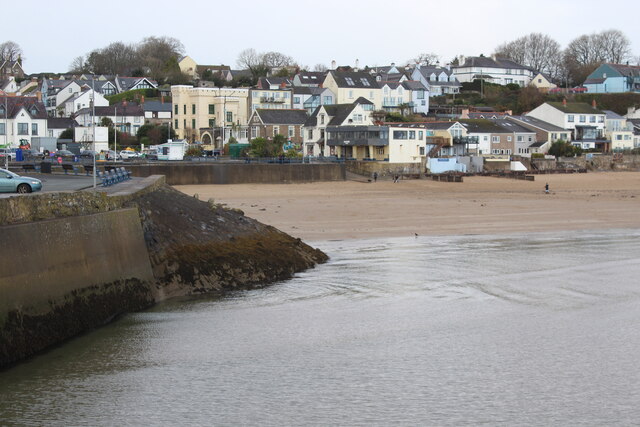
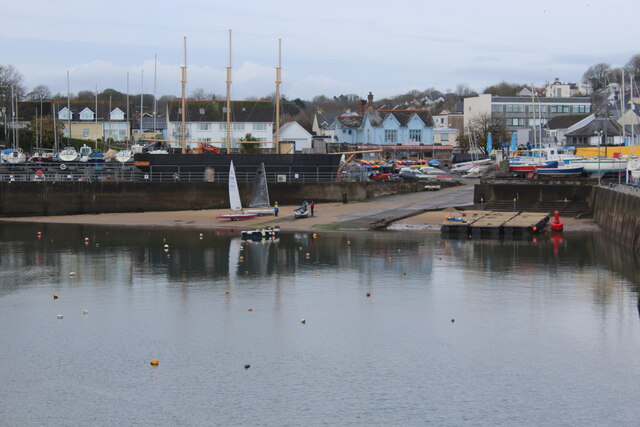
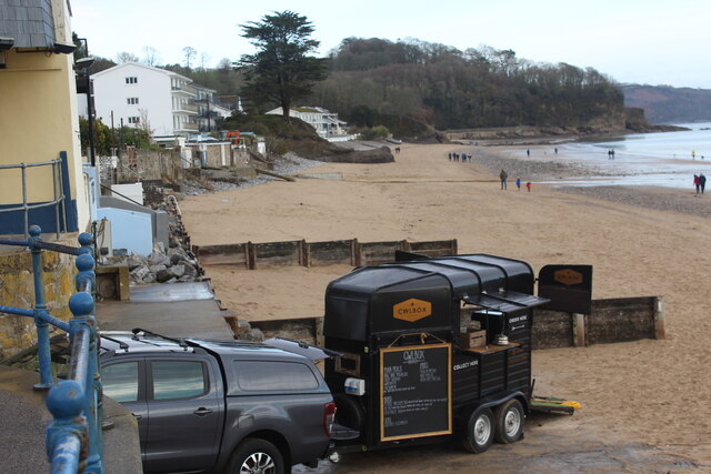
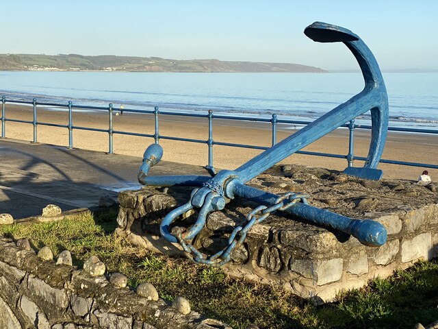
Nature enthusiasts will find plenty to explore in the surrounding area. The Valley is located close to the Pembrokeshire Coast National Park, offering stunning coastal walks and breathtaking views. The nearby beaches of Tenby and Saundersfoot are popular destinations for both locals and tourists, with their sandy shores and crystal-clear waters.
Overall, The Valley offers a peaceful and idyllic setting for those seeking a slower pace of life. Its proximity to natural beauty and the amenities of nearby towns make it an attractive place to live or visit for those looking to escape the hustle and bustle of city life.
If you have any feedback on the listing, please let us know in the comments section below.
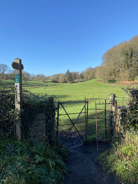
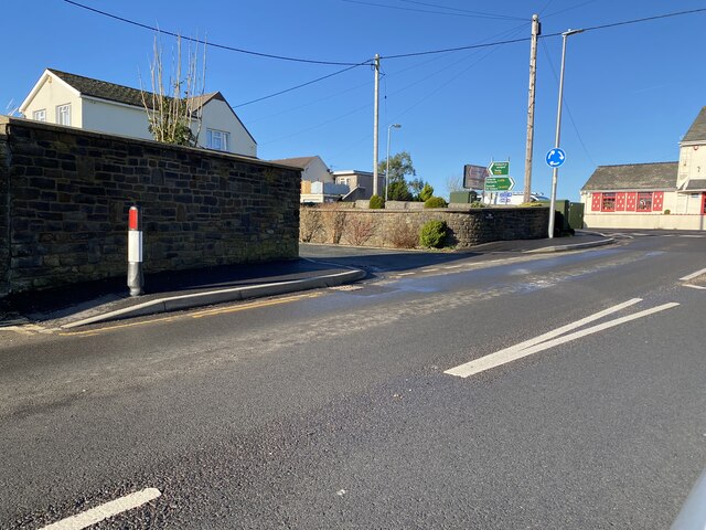
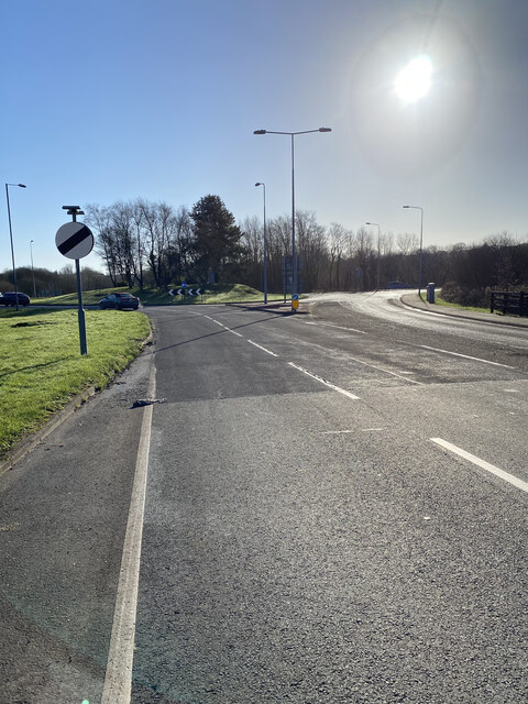
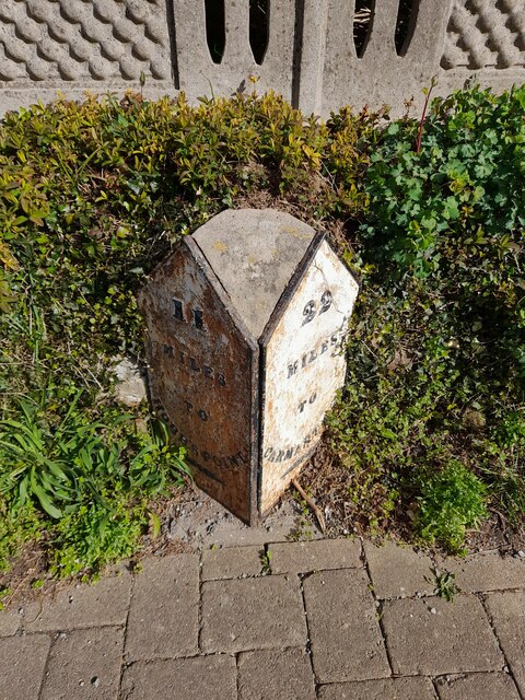
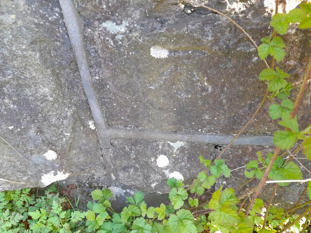
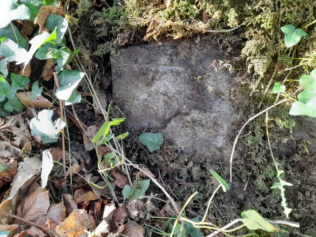
The Valley Images
Images are sourced within 2km of 51.715394/-4.7241295 or Grid Reference SN1105. Thanks to Geograph Open Source API. All images are credited.


The Valley is located at Grid Ref: SN1105 (Lat: 51.715394, Lng: -4.7241295)
Unitary Authority: Pembrokeshire
Police Authority: Dyfed Powys
What 3 Words
///cubs.mole.flagging. Near Saundersfoot, Pembrokeshire
Nearby Locations
Related Wikis

Pentlepoir
Pentlepoir is a village in Pembrokeshire, Wales, approximately 3⁄4 mile (1.2 km) south of Kilgetty and 1 mile (1.6 km) west of Saundersfoot. The A478...
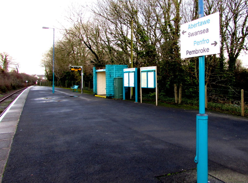
Saundersfoot railway station
Saundersfoot railway station is 1 mile (1.6 km) from Saundersfoot, Pembrokeshire, Wales. It is managed by Transport for Wales Rail. It is usually a request...
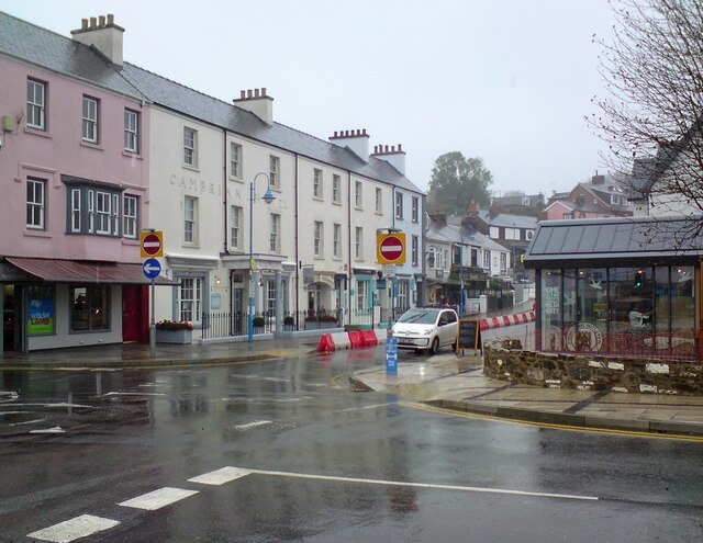
Saundersfoot
Saundersfoot (Welsh: Llanusyllt; Old Welsh: Llanussyllt) is a large village and community (and former electoral ward) in Pembrokeshire, Wales. It is near...
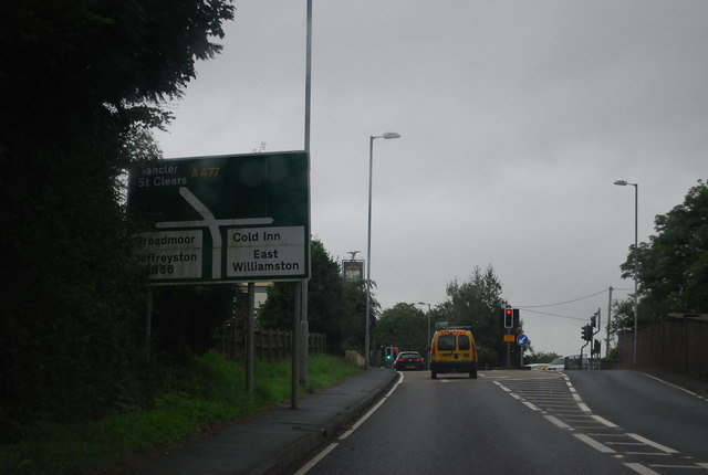
Cold Inn
Cold Inn is a small village in the Welsh county of Pembrokeshire and community of East Williamston, close to the A477 road which runs between St Clears...
Nearby Amenities
Located within 500m of 51.715394,-4.7241295Have you been to The Valley?
Leave your review of The Valley below (or comments, questions and feedback).