Wooden
Settlement in Pembrokeshire
Wales
Wooden

Wooden is a small village located in the county of Pembrokeshire, Wales. It is situated on the western coast of the country, with the Irish Sea to its west and the Preseli Hills to its north. The village is part of the Pembrokeshire Coast National Park, renowned for its stunning natural beauty and diverse wildlife.
With a population of around 400 residents, Wooden is a close-knit community that offers a peaceful and picturesque setting. The village is characterized by its charming traditional cottages, many of which date back several centuries. The surrounding countryside is predominantly rural, with rolling green hills and lush fields.
Wooden is an ideal destination for outdoor enthusiasts, offering a wide range of activities. The Pembrokeshire Coast Path, a famous long-distance trail, passes through the village, providing opportunities for scenic walks and hikes along the rugged coastline. The nearby beaches, such as Newgale and Whitesands Bay, attract surfers and beachgoers during the summer months.
Despite its small size, Wooden has some amenities to offer its residents and visitors. There is a local pub, a church, and a small convenience store providing basic supplies. For more extensive shopping and amenities, the town of Haverfordwest is a short drive away.
Overall, Wooden is a picturesque and tranquil village that encapsulates the beauty of the Pembrokeshire countryside. Its idyllic location, rich history, and array of outdoor activities make it an appealing destination for nature lovers and those seeking a peaceful retreat.
If you have any feedback on the listing, please let us know in the comments section below.
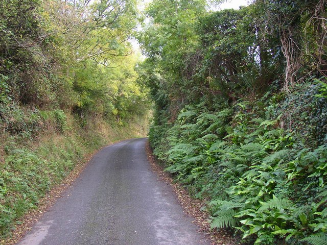
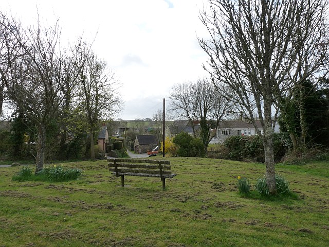
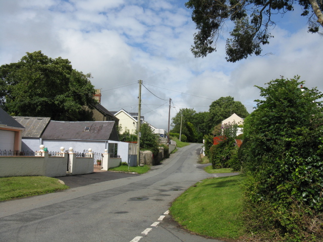
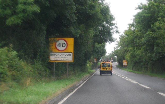
Wooden Images
Images are sourced within 2km of 51.71698/-4.733578 or Grid Reference SN1105. Thanks to Geograph Open Source API. All images are credited.


Wooden is located at Grid Ref: SN1105 (Lat: 51.71698, Lng: -4.733578)
Unitary Authority: Pembrokeshire
Police Authority: Dyfed Powys
What 3 Words
///warriors.bends.shelving. Near Kilgetty, Pembrokeshire
Nearby Locations
Related Wikis

Pentlepoir
Pentlepoir is a village in Pembrokeshire, Wales, approximately 3⁄4 mile (1.2 km) south of Kilgetty and 1 mile (1.6 km) west of Saundersfoot. The A478...
Cold Inn
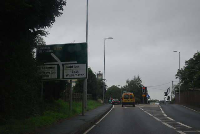
Cold Inn is a small village in the Welsh county of Pembrokeshire and community of East Williamston, close to the A477 road which runs between St Clears...
A477 road
The A477 is a major road in South Pembrokeshire and Carmarthenshire connecting St Clears and Johnston. Its route includes the Cleddau Bridge, a former...
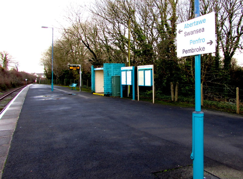
Saundersfoot railway station
Saundersfoot railway station is 1 mile (1.6 km) from Saundersfoot, Pembrokeshire, Wales. It is managed by Transport for Wales Rail. It is usually a request...
Nearby Amenities
Located within 500m of 51.71698,-4.733578Have you been to Wooden?
Leave your review of Wooden below (or comments, questions and feedback).