Moreton

Settlement in Pembrokeshire

Wales

Moreton

St. Madoc, East Williamston Tiny tower is a common sight in west Wales
St. Madoc, East Williamston Credit: Jonathan Billinger

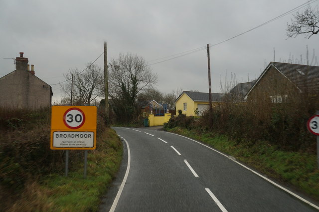
Moreton is a small village located in the county of Pembrokeshire, Wales. Situated near the western coast, it is nestled within a picturesque rural landscape, surrounded by rolling hills and farmland. The village is part of the parish of St. Florence and is approximately 3 miles northwest of the town of Tenby.

The village of Moreton is characterized by its quaint and traditional Welsh charm. It consists of a scattering of houses and cottages, some of which date back several centuries, giving the village a distinct historical feel. The local community is close-knit and friendly, with a strong sense of community spirit.

In terms of amenities, Moreton has a small primary school that serves the surrounding area. The village also boasts a church, St. Florence Parish Church, which is a notable historical landmark. The church dates back to the Norman period and features a beautiful stained glass window.

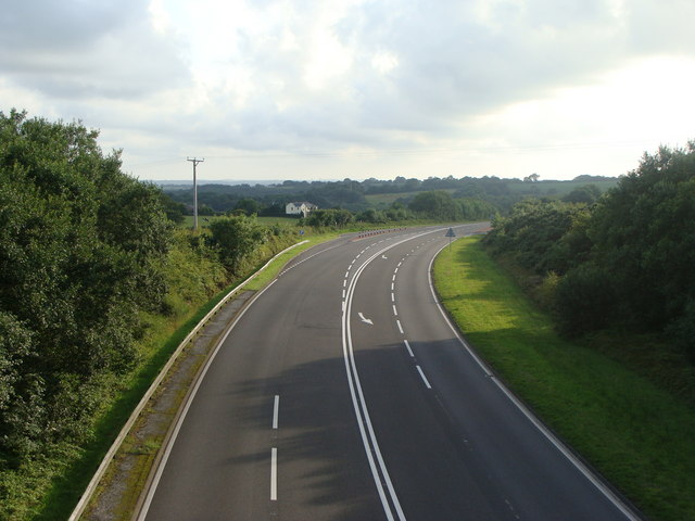
For those seeking outdoor activities, Moreton offers easy access to the stunning Pembrokeshire Coast National Park. The park is renowned for its breathtaking coastal scenery, with rugged cliffs, sandy beaches, and picturesque coves. The village is also close to several popular walking and hiking trails, providing ample opportunities to explore the scenic surroundings.

Overall, Moreton is a charming and peaceful village, offering a glimpse into the rich history and natural beauty of Pembrokeshire. It is a perfect destination for those seeking a tranquil retreat in a picturesque rural setting.

If you have any feedback on the listing, please let us know in the comments section below.
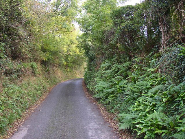
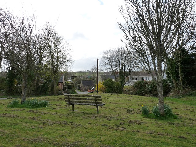
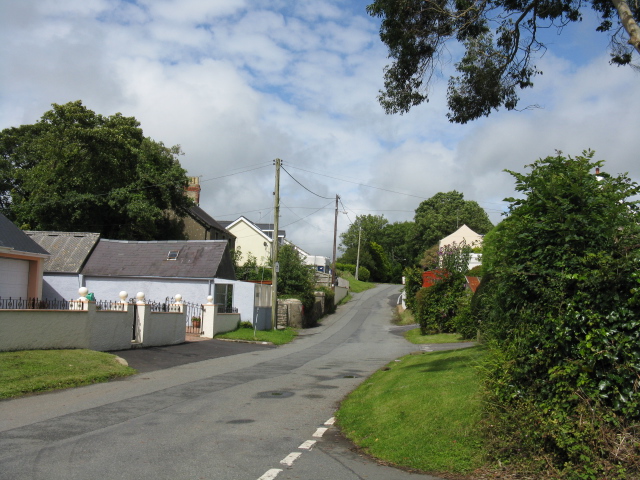
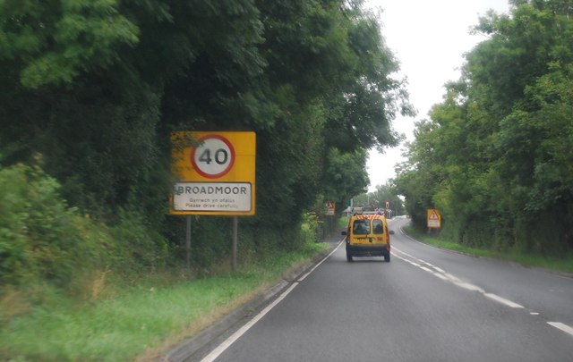
Moreton Images

Images are sourced within 2km of 51.714575/-4.7345913 or Grid Reference SN1105. Thanks to Geograph Open Source API. All images are credited.

St. Madoc, East Williamston Tiny tower is a common sight in west Wales
St. Madoc, East Williamston
Tiny tower is a common sight in west Wales
Lane in East Williamston Most of the village is on a lane that loops away from the old main road and back again.  This is the narrow part on the north-east side.
Lane in East Williamston
Most of the village is on a lane that loops away from the old main road and back again. This is the narrow part on the north-east side.
Community Hall, East Williamston This refurbished village hall has the usual range of social activities: yoga classes, quiz nights etc..
Community Hall, East Williamston
This refurbished village hall has the usual range of social activities: yoga classes, quiz nights etc..
Caravan storage site at Upper Masterland Taken from the B4586
Caravan storage site at Upper Masterland
Taken from the B4586
St Elidyr Church, East Williamston An information board in the village states, "The name Williamston dates from the Middle Ages when Anglo-Norman influence was strong. Traces of the system of farming of that period can be seen in the long narrow fields of the present landscape. The green is part of the village common. The church was built in stone at this time (and largely rebuilt in the 19th century)."  

"WILLIAMSTON, a chapelry, in the parish of Begelly, union and hundred of Narberth, county of Pembroke, South Wales, 4 miles (N. W.) from Tenby; containing 495 inhabitants. It is situated on the high road between Pembroke and Carmarthen. Coal is obtained here. The chapel is a rude edifice, without tower or spire." (A Topographical Dictionary of Wales - S. Lewis, 1849)
St Elidyr Church, East Williamston
An information board in the village states, "The name Williamston dates from the Middle Ages when Anglo-Norman influence was strong. Traces of the system of farming of that period can be seen in the long narrow fields of the present landscape. The green is part of the village common. The church was built in stone at this time (and largely rebuilt in the 19th century)." "WILLIAMSTON, a chapelry, in the parish of Begelly, union and hundred of Narberth, county of Pembroke, South Wales, 4 miles (N. W.) from Tenby; containing 495 inhabitants. It is situated on the high road between Pembroke and Carmarthen. Coal is obtained here. The chapel is a rude edifice, without tower or spire." (A Topographical Dictionary of Wales - S. Lewis, 1849)
The Green, East Williamston Near to the church. <a title="https://www.geograph.org.uk/photo/1234848" href="https://www.geograph.org.uk/photo/1234848">Link</a>
The Green, East Williamston
Near to the church. Link
Jubilee Park, East Williamston A 15 acre conservation area of a wetland, woods and footpaths.
Jubilee Park, East Williamston
A 15 acre conservation area of a wetland, woods and footpaths.
Cemetery, East Williamston
Footpath Enters East Williamston The path concludes a through walk from Saundersfoot by either of two alternative routes.
Footpath Enters East Williamston
The path concludes a through walk from Saundersfoot by either of two alternative routes.
East Williamston
East Williamston
Lane Through East Williamston
Telephone Box, East Williamston Still in service when photographed.
Telephone Box, East Williamston
Still in service when photographed.
Entering Broadmoor, A477 The A477 runs 22 miles from St Clears to Johnson. <span class="nowrap"><a title="http://www.sabre-roads.org.uk/wiki/index.php?title=A477" rel="nofollow ugc noopener" href="http://www.sabre-roads.org.uk/wiki/index.php?title=A477">Link</a><img style="margin-left:2px;" alt="External link" title="External link - shift click to open in new window" src="https://s1.geograph.org.uk/img/external.png" width="10" height="10"/></span>
Entering Broadmoor, A477
The A477 runs 22 miles from St Clears to Johnson. LinkExternal link
Broadmoor, A477 The A477 runs 22 miles from St Clears to Johnson. <span class="nowrap"><a title="http://www.sabre-roads.org.uk/wiki/index.php?title=A477" rel="nofollow ugc noopener" href="http://www.sabre-roads.org.uk/wiki/index.php?title=A477">Link</a><img style="margin-left:2px;" alt="External link" title="External link - shift click to open in new window" src="https://s1.geograph.org.uk/img/external.png" width="10" height="10"/></span>
Broadmoor, A477
The A477 runs 22 miles from St Clears to Johnson. LinkExternal link
Houses on the B4586 at Broadmoor
The B4586 at Broadmoor
Village Pump and Information Board, Broadmoor
Show me another place!

Moreton is located at Grid Ref: SN1105 (Lat: 51.714575, Lng: -4.7345913)

Unitary Authority: Pembrokeshire

Police Authority: Dyfed Powys

What 3 Words

///expel.genius.upstarts. Near Saundersfoot, Pembrokeshire

Related Wikis

Pentlepoir

Pentlepoir is a village in Pembrokeshire, Wales, approximately 3⁄4 mile (1.2 km) south of Kilgetty and 1 mile (1.6 km) west of Saundersfoot. The A478...

East Williamston

East Williamston (Welsh: Tregwilym Ddwyrain) is a village and community in Pembrokeshire, Wales. The community includes the villages of Pentlepoir, Cold...

Cold Inn

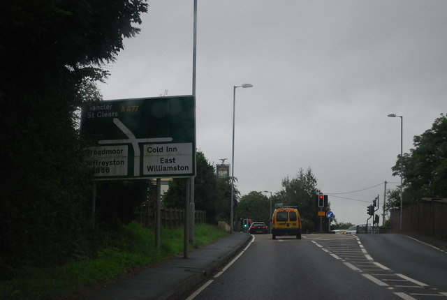
Cold Inn is a small village in the Welsh county of Pembrokeshire and community of East Williamston, close to the A477 road which runs between St Clears...

A477 road

The A477 is a major road in South Pembrokeshire and Carmarthenshire connecting St Clears and Johnston. Its route includes the Cleddau Bridge, a former...

Nearby Amenities

Located within 500m of 51.714575,-4.7345913
Pub
Woodbridge Inn Hotel
Addr Postcode: SA69 9DY
Fhrs Id: 856835
Fixme: Check name and check if hotel or pub
Source Addr Postcode: FHRS Open Data
Lat/Long: 51.7144996/-4.7337124
Give Way
Direction: backward
Lat/Long: 51.7121847/-4.7316982
Give Way
Direction: backward
Lat/Long: 51.7174416/-4.7314598
Direction: S
Generator Method: photovoltaic
Generator Output Electricity: yes
Generator Solar Modules: 16
Generator Source: solar
Generator Type: solar_photovoltaic_panel
Location: roof
Power: generator
Lat/Long: 51.7125336/-4.7366859
Direction: 195
Generator Method: photovoltaic
Generator Output Electricity: yes
Generator Solar Modules: 16
Generator Source: solar
Generator Type: solar_photovoltaic_panel
Location: roof
Power: generator
Lat/Long: 51.7155416/-4.7282088
Direction: 170
Generator Method: photovoltaic
Generator Output Electricity: yes
Generator Solar Modules: 18
Generator Source: solar
Generator Type: solar_photovoltaic_panel
Location: roof
Power: generator
Lat/Long: 51.7151859/-4.7286004
Direction: 175
Generator Method: photovoltaic
Generator Output Electricity: yes
Generator Solar Modules: 12
Generator Source: solar
Generator Type: solar_photovoltaic_panel
Location: roof
Power: generator
Lat/Long: 51.7151494/-4.7293319
Direction: 185
Generator Method: photovoltaic
Generator Output Electricity: yes
Generator Solar Modules: 12
Generator Source: solar
Generator Type: solar_photovoltaic_panel
Location: roof
Power: generator
Lat/Long: 51.71464/-4.7297672
Direction: 105
Generator Method: photovoltaic
Generator Output Electricity: yes
Generator Solar Modules: 16
Generator Source: solar
Generator Type: solar_photovoltaic_panel
Location: roof
Power: generator
Lat/Long: 51.7144996/-4.7337931
Direction: 255
Generator Method: photovoltaic
Generator Output Electricity: yes
Generator Solar Modules: 8
Generator Source: solar
Generator Type: solar_photovoltaic_panel
Location: roof
Power: generator
Lat/Long: 51.715942/-4.733415
Direction: 75
Generator Method: photovoltaic
Generator Output Electricity: yes
Generator Solar Modules: 8
Generator Source: solar
Generator Type: solar_photovoltaic_panel
Location: roof
Power: generator
Lat/Long: 51.715967/-4.7333452
Direction: SSW
Generator Method: photovoltaic
Generator Output Electricity: yes
Generator Solar Modules: 16
Generator Source: solar
Generator Type: solar_photovoltaic_panel
Location: roof
Power: generator
Lat/Long: 51.7162728/-4.7313265
Direction: SSW
Generator Method: photovoltaic
Generator Output Electricity: yes
Generator Solar Modules: 12
Generator Source: solar
Generator Type: solar_photovoltaic_panel
Location: roof
Power: generator
Lat/Long: 51.7163212/-4.7314921
Direction: 215
Generator Method: photovoltaic
Generator Output Electricity: yes
Generator Solar Modules: 16
Generator Source: solar
Generator Type: solar_photovoltaic_panel
Location: roof
Power: generator
Lat/Long: 51.7164902/-4.7296806
Direction: 125
Generator Method: photovoltaic
Generator Output Electricity: yes
Generator Solar Modules: 16
Generator Source: solar
Generator Type: solar_photovoltaic_panel
Location: roof
Power: generator
Lat/Long: 51.7172382/-4.7295311
The data included in this document is from www.openstreetmap.org. The data is made available under ODbL.

Have you been to Moreton?

Leave your review of Moreton below (or comments, questions and feedback).