Glen Fyne

Valley in Argyllshire

Scotland

Glen Fyne

Broken down rally car near Dunoon This was a disappointing day.  Gearbox failure.
Broken down rally car near Dunoon Credit: Steven Brown

The requested URL returned error: 429 Too Many Requests

If you have any feedback on the listing, please let us know in the comments section below.
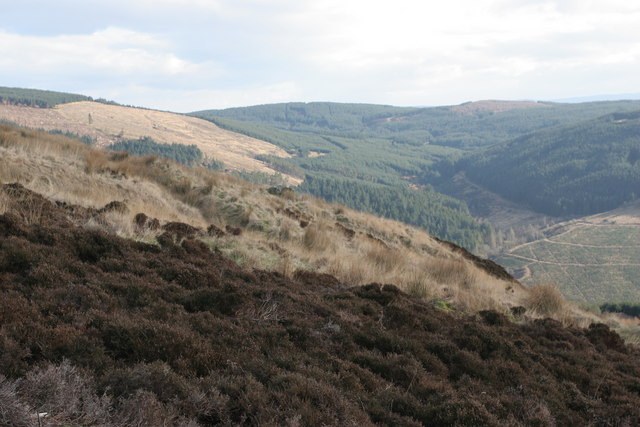
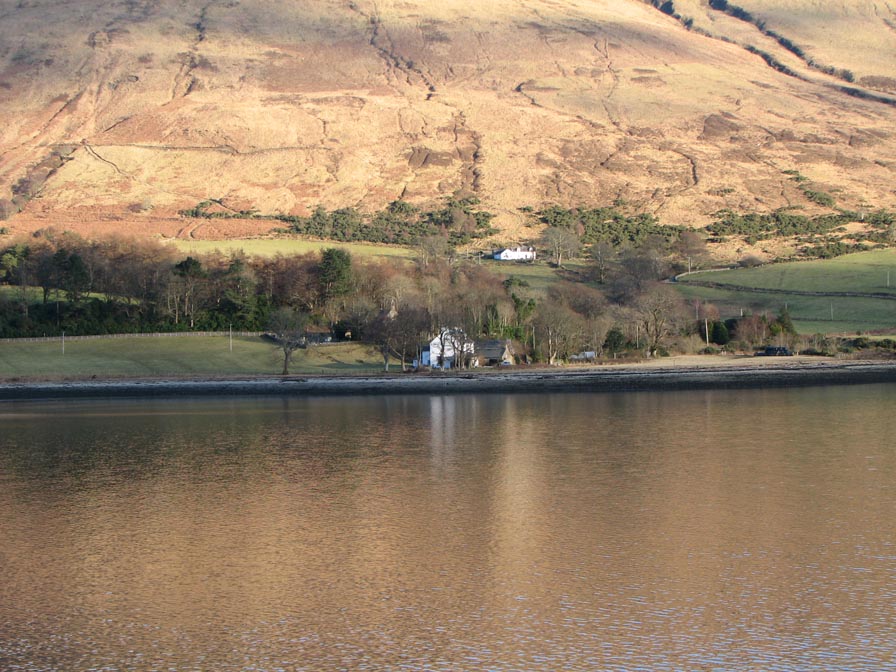
Glen Fyne Images

Images are sourced within 2km of 55.918983/-5.0114147 or Grid Reference NS1173. Thanks to Geograph Open Source API. All images are credited.

Broken down rally car near Dunoon This was a disappointing day.  Gearbox failure.
Broken down rally car near Dunoon
This was a disappointing day. Gearbox failure.
Innellan, Forestry Track The end of the track on the slope of Corlarach Hill.
Innellan, Forestry Track
The end of the track on the slope of Corlarach Hill.
Glen Fyne, track in Goatsford Wood
Glen Fyne, unnamed burn in Goatsford Wood A better view of the burn
Glen Fyne, unnamed burn in Goatsford Wood
A better view of the burn
Glen Fyne, old ruins in Glen Fyne Wood
Glen Fyne, Track A new culvert over a Burn
Glen Fyne, Track
A new culvert over a Burn
Glen Fyne, Rowantree Burn Looking downstream
Glen Fyne, Rowantree Burn
Looking downstream
Glen Fyne, Rowantree Burn Looking upstream,  the high dry stane dyke must have been there before the trees.
Glen Fyne, Rowantree Burn
Looking upstream, the high dry stane dyke must have been there before the trees.
On the forestry road between Innellan and Auchafour
Near the ruins at Corlarach
Forestry track on the east side of Glen Fyne
Burn on the east side of Glen Fyne
Pool on the ridge above Glen Fyne
Anemometer tower for proposed wind farm on Black Craig
Moorland on the ridge between Loch Striven and Glen Fyne
Looking north east into Glen Fyne
End of forestry road in Glen Fyne, Cowal
Track in Corlarach Forest
Show me another place!

Glen Fyne is located at Grid Ref: NS1173 (Lat: 55.918983, Lng: -5.0114147)

Unitary Authority: Argyll and Bute

Police Authority: Argyll and West Dunbartonshire

What 3 Words

///wordplay.feed.fortified. Near Dunoon, Argyll & Bute

Nearby Locations

Glen Fyne

Related Wikis

Inverchaolain Church

Inverchaolain Church is a former Church of Scotland church building in Inverchaolain, Argyll and Bute, Scotland. Located on the eastern shores of Loch...

Inverchaolain

Inverchaolain is a hamlet on the Cowal peninsula, Argyll and Bute, Scotland. It lies on the east shore of Loch Striven, to the south of Glenstriven and...

Loch Striven

Loch Striven (Scottish Gaelic: Loch Sroigheann) is a sea loch extending off the Firth of Clyde, and forms part of the Cowal peninsula coast, in Argyll...

Innellan

Innellan is a village in Argyll and Bute, Scotland, on the western shore of the Firth of Clyde. It is four miles south of Dunoon. == History == The origin...

Have you been to Glen Fyne?

Leave your review of Glen Fyne below (or comments, questions and feedback).