Baas Hill
Hill, Mountain in Hertfordshire Broxbourne
England
Baas Hill
Baas Hill is a small hill located in the county of Hertfordshire, England. It is situated near the village of Bayford, approximately 20 miles north of London. Despite its name, Baas Hill is more accurately described as a gentle slope rather than a mountain.
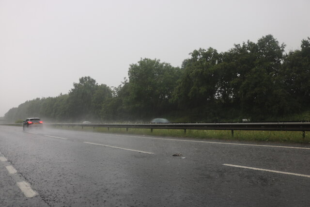
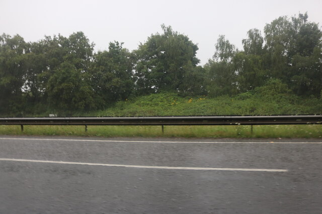
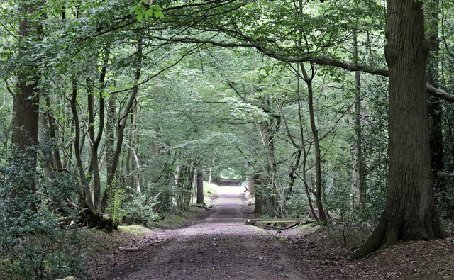
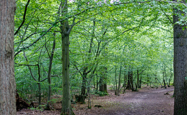
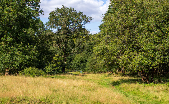
Covered in lush greenery, Baas Hill offers panoramic views of the surrounding countryside, making it a popular spot for hikers and nature enthusiasts. The hill is primarily composed of chalk, which lends it a distinctive appearance and contributes to the diverse flora and fauna found in the area.
At the summit of Baas Hill, there is a trig point, a concrete pillar used in surveying, which serves as a marker for geodetic surveys. This feature adds an element of interest for those interested in geology or cartography.
The surrounding area boasts a rich history, with archaeological evidence suggesting that Baas Hill has been inhabited since ancient times. Some remnants of Iron Age hillforts and Roman settlements have been discovered nearby, indicating that the hill has played a significant role in the region's past.
Baas Hill is easily accessible by foot or by car, with several footpaths and country lanes leading to its summit. Visitors can enjoy a peaceful walk in the countryside, taking in the stunning views and enjoying the tranquility of the area. Whether it's for a leisurely stroll, a picnic, or simply to appreciate the natural beauty of Hertfordshire, Baas Hill offers a serene escape from the bustling city life.
If you have any feedback on the listing, please let us know in the comments section below.
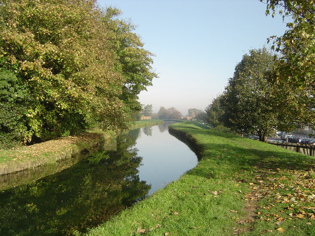
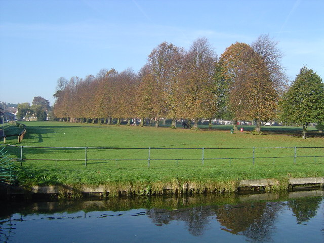
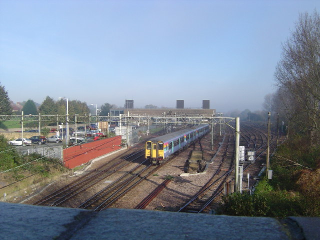
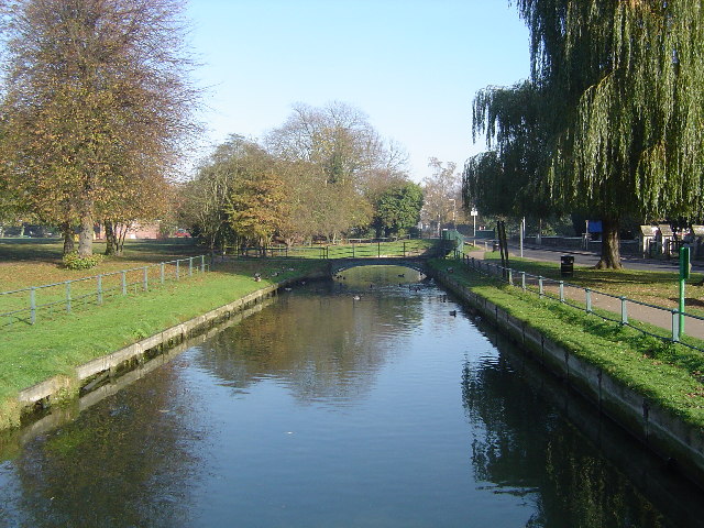
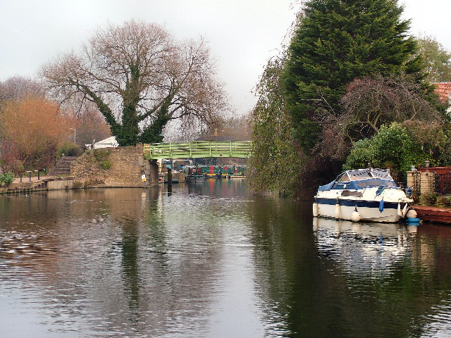
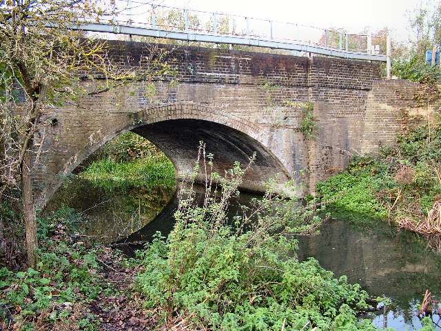
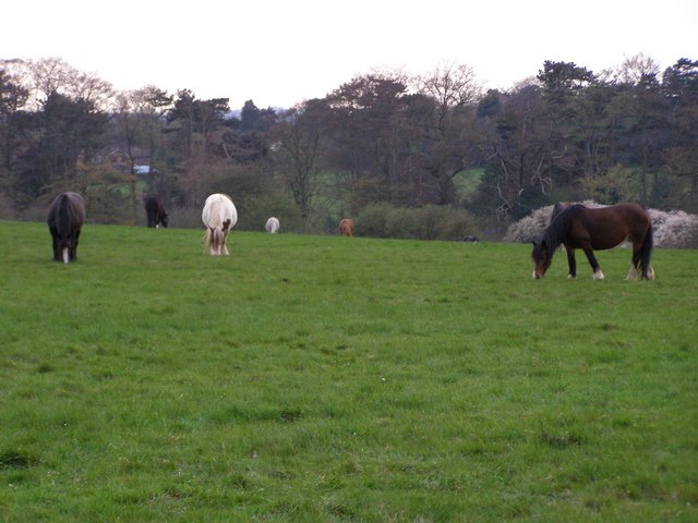
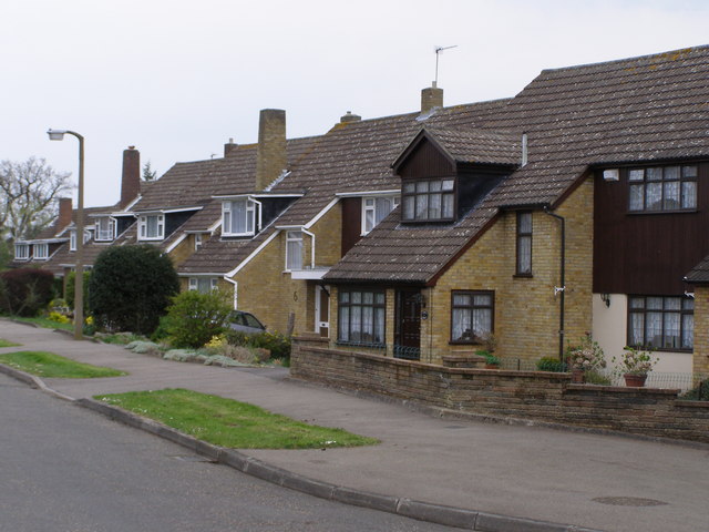
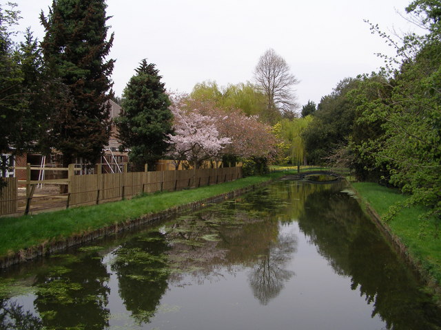
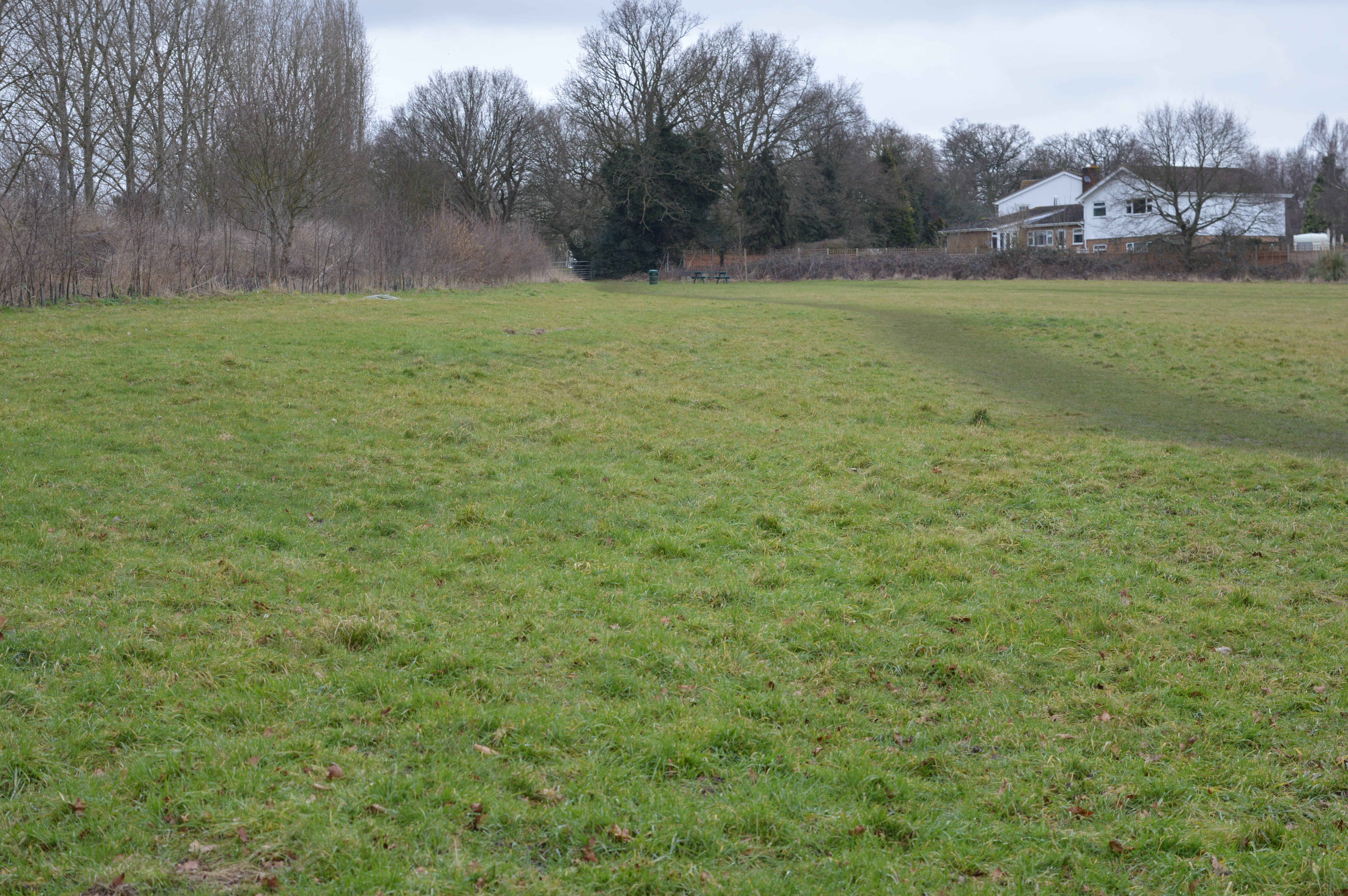
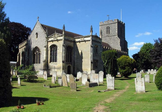
Baas Hill Images
Images are sourced within 2km of 51.745439/-0.034386953 or Grid Reference TL3507. Thanks to Geograph Open Source API. All images are credited.

Baas Hill is located at Grid Ref: TL3507 (Lat: 51.745439, Lng: -0.034386953)
Administrative County: Hertfordshire
District: Broxbourne
Police Authority: Hertfordshire
What 3 Words
///today.copper.skills. Near Broxbourne, Hertfordshire
Nearby Locations
Related Wikis
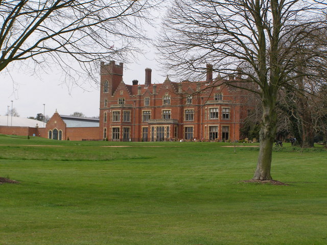
Broxbournebury Manor
Broxbournebury Manor is a country club in Broxbourne, Hertfordshire, England. It is a building of historical significance and is listed on the English...
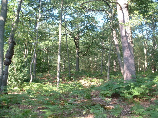
Top Field and Cozens Grove
Top Field and Cozens Grove is a 6.1 hectare Local Nature Reserve in Wormley in Hertfordshire. It is owned and managed by Broxbourne Borough Council.Top...

The Broxbourne School
The Broxbourne School is a coeducational secondary school and sixth form with academy status located in Broxbourne, Hertfordshire, England. The school...
Cannix
Cannix otherwise Canwykes or Broxbournes, is an area near Broxbourne, Hertfordshire, England. It was named from its early tenants, and was held of the...
Broxbourne
Broxbourne is a town in the Borough of Broxbourne district, in Hertfordshire, England, with a population of 15,303 at the 2011 Census. It is located to...
Wormley Rovers F.C.
Wormley Rovers Football Club is a football club based in Wormley, Hertfordshire. They are currently members of the Eastern Counties League Division One...

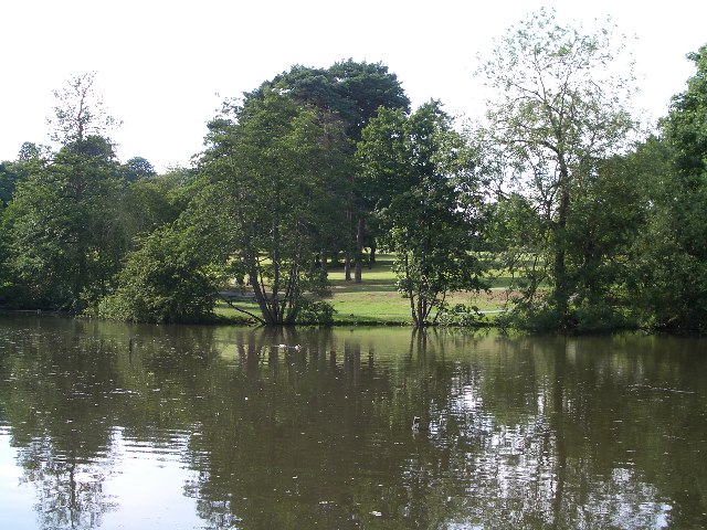
Wormleybury
Wormleybury is an 18th-century house surrounded by a landscaped park of 57 ha (140 acres) near Wormley in Broxbourne, Hertfordshire, England, a few miles...

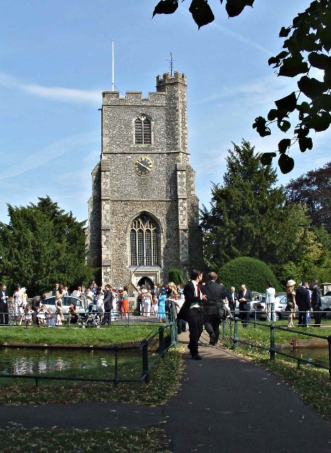
St Augustine's Church, Broxbourne
St Augustine's Church is an active Church in Broxbourne, Hertfordshire, England. The church stands opposite the New River. It is recorded in the National...
Nearby Amenities
Located within 500m of 51.745439,-0.034386953Have you been to Baas Hill?
Leave your review of Baas Hill below (or comments, questions and feedback).