Lucern Warren
Wood, Forest in Hertfordshire Broxbourne
England
Lucern Warren
Lucern Warren is a small village located in the county of Hertfordshire in England. Situated within the district of Wood, Forest, the village is nestled amidst picturesque countryside and offers a tranquil and idyllic setting.
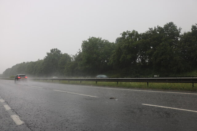
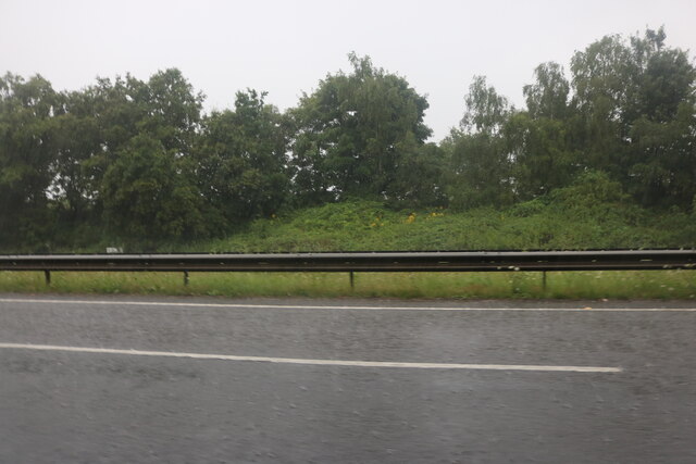
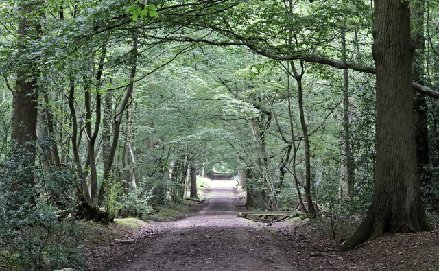
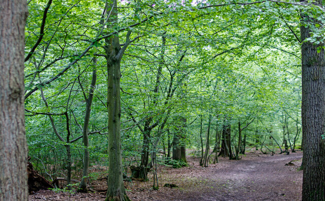
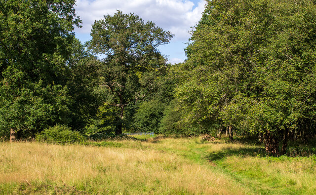
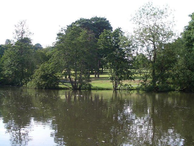
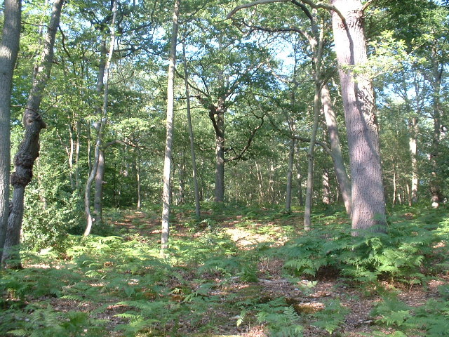
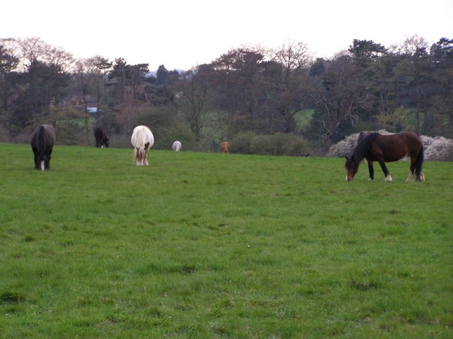
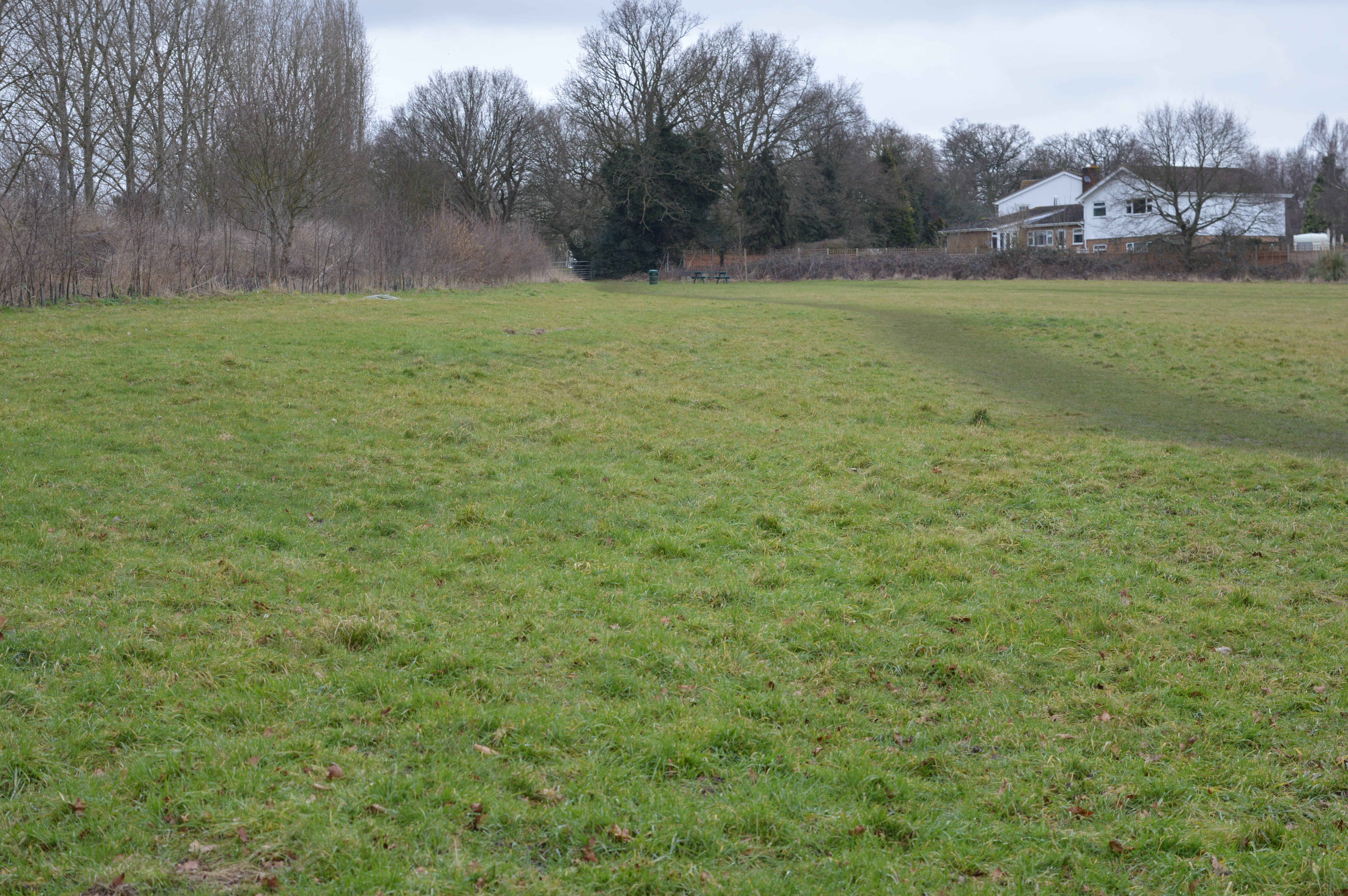
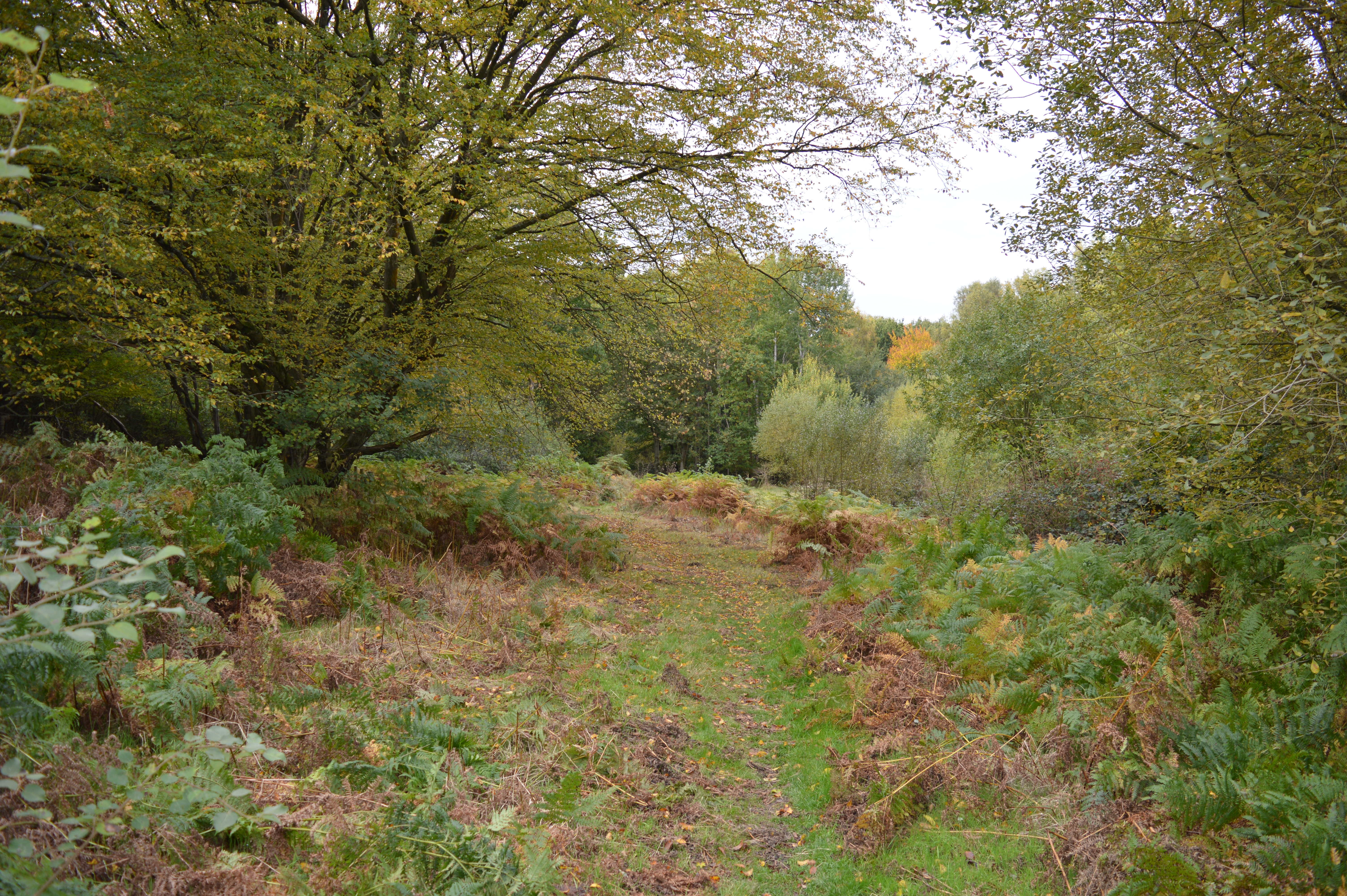
The village is known for its lush green landscapes, dense woodlands, and stunning natural beauty. Lucern Warren is home to a variety of tree species, including oak, beech, and birch, which contribute to its rich and diverse forest ecosystem.
The village itself is small and tightly-knit, with a population of around 500 residents. The community is friendly and welcoming, and the village showcases a strong sense of community spirit. Residents often engage in various social activities and events, fostering a close-knit and supportive environment.
Lucern Warren is blessed with several walking and cycling trails, allowing visitors and residents to explore the surrounding woodlands and enjoy the beauty of the countryside. The village is also home to a charming village green, where locals gather for picnics, sports, and community events.
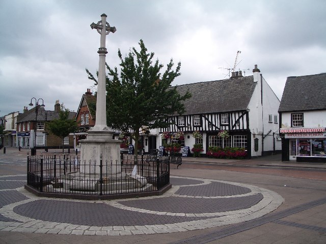
Despite its rural setting, Lucern Warren is conveniently located near larger towns and cities. The nearby town of Woodford offers a range of amenities, including shops, restaurants, and schools, providing residents with easy access to essential services.
In summary, Lucern Warren is a small village in Hertfordshire, known for its scenic woodlands, friendly community, and peaceful ambiance. It is an ideal location for nature enthusiasts and those seeking a serene countryside lifestyle.
If you have any feedback on the listing, please let us know in the comments section below.
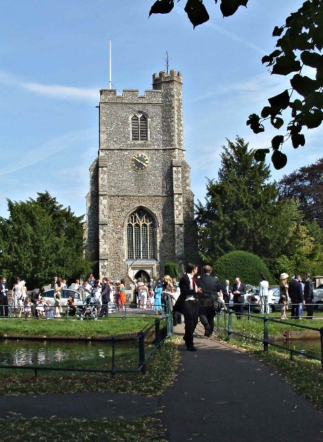
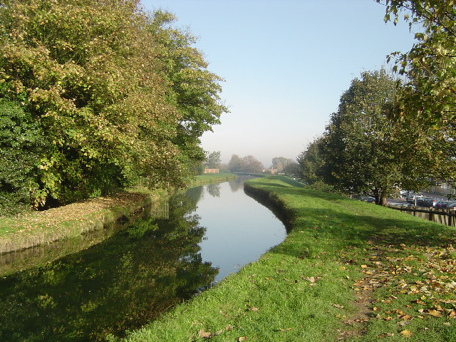
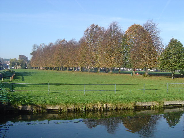
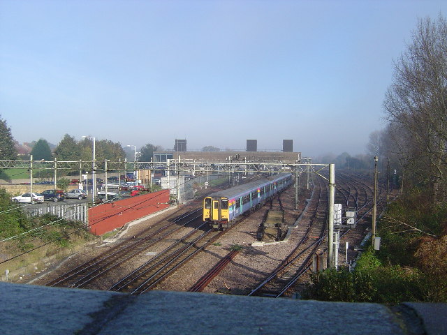
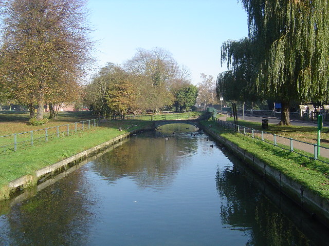
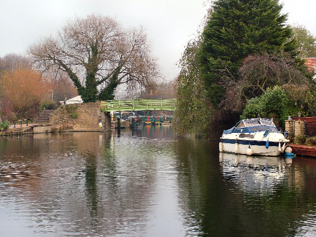
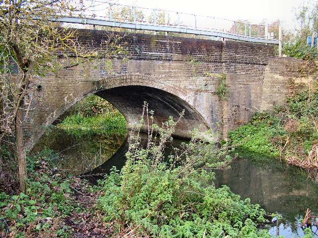
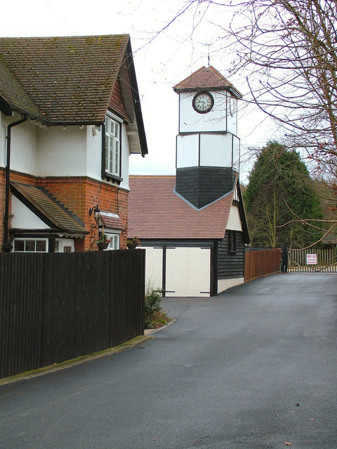
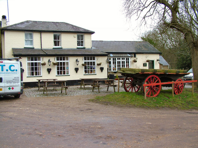
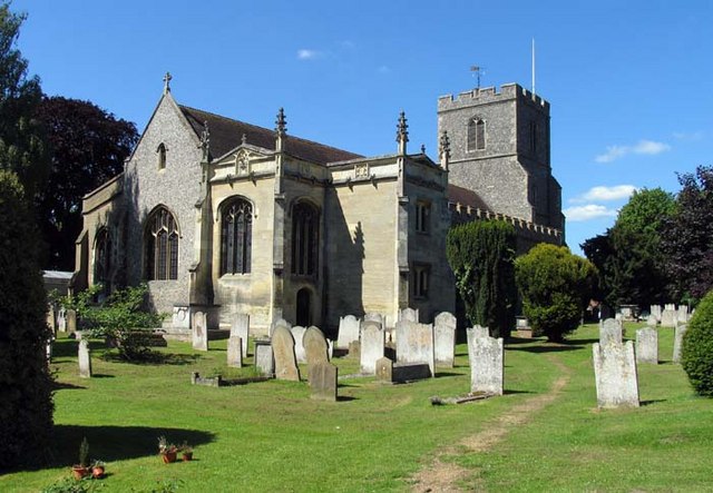
Lucern Warren Images
Images are sourced within 2km of 51.752002/-0.032117152 or Grid Reference TL3507. Thanks to Geograph Open Source API. All images are credited.
Lucern Warren is located at Grid Ref: TL3507 (Lat: 51.752002, Lng: -0.032117152)
Administrative County: Hertfordshire
District: Broxbourne
Police Authority: Hertfordshire
What 3 Words
///cases.boot.small. Near Broxbourne, Hertfordshire
Nearby Locations
Related Wikis
Broxbourne
Broxbourne is a town in the Borough of Broxbourne district, in Hertfordshire, England, with a population of 15,303 at the 2011 Census. It is located to...
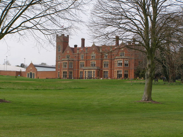
Broxbournebury Manor
Broxbournebury Manor is a country club in Broxbourne, Hertfordshire, England. It is a building of historical significance and is listed on the English...

Cannix
Cannix otherwise Canwykes or Broxbournes, is an area near Broxbourne, Hertfordshire, England. It was named from its early tenants, and was held of the...

Barclay Park
Barclay Park is a park in Hoddesdon, Hertfordshire, England. == History == In 1403 there was a house on the land called High Wyches which by 1677 had been...
Robert Barclay Academy
Robert Barclay Academy (formerly Sheredes School) is a co-educational secondary school and sixth form located in Hoddesdon in the English county of Hertfordshire...
Top Field and Cozens Grove
Top Field and Cozens Grove is a 6.1 hectare Local Nature Reserve in Wormley in Hertfordshire. It is owned and managed by Broxbourne Borough Council.Top...
Danemead
Danemead is a 5.6-hectare nature reserve west of Hoddesdon in Hertfordshire, managed by the Herts and Middlesex Wildlife Trust. It is part of the Wormley...
The Broxbourne School
The Broxbourne School is a coeducational secondary school and sixth form with academy status located in Broxbourne, Hertfordshire, England. The school...
Nearby Amenities
Located within 500m of 51.752002,-0.032117152Have you been to Lucern Warren?
Leave your review of Lucern Warren below (or comments, questions and feedback).