Sylvandene Wood

Wood, Forest in Surrey Tandridge

England

Sylvandene Wood

Blindley Heath traffic lights Coming from London, this is where you turn left for Lingfield Racecourse ! On the other side of the junction is a cricket field.
Blindley Heath traffic lights Credit: Nigel Freeman

Sylvandene Wood is a picturesque forest located in Surrey, England. Covering an area of approximately 100 acres, this woodland is known for its natural beauty and diverse range of flora and fauna. It is situated near the village of Wood, making it easily accessible for visitors from nearby towns and cities.

The forest is predominantly composed of broadleaf trees, including oak, ash, and beech, which provide a stunning display of colors during the autumn months. The dense canopy created by these trees provides a tranquil and shaded environment, making it a popular spot for nature lovers and hikers.

Sylvandene Wood is home to a variety of wildlife, including deer, foxes, and an array of bird species. Birdwatchers often visit the forest to catch a glimpse of rare and migratory birds that inhabit the area. The forest also houses several walking trails and nature paths, allowing visitors to explore its beauty at their own pace.

The management of Sylvandene Wood focuses on preserving its natural ecosystem and promoting conservation. Regular maintenance and tree planting programs ensure the sustainability of the forest and its inhabitants. The forest is also monitored to prevent any illegal activities such as hunting or logging.

Overall, Sylvandene Wood offers a serene escape from the hustle and bustle of city life. Its scenic beauty, diverse wildlife, and commitment to conservation make it a must-visit destination for nature enthusiasts and those seeking a peaceful retreat.

If you have any feedback on the listing, please let us know in the comments section below.

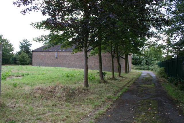
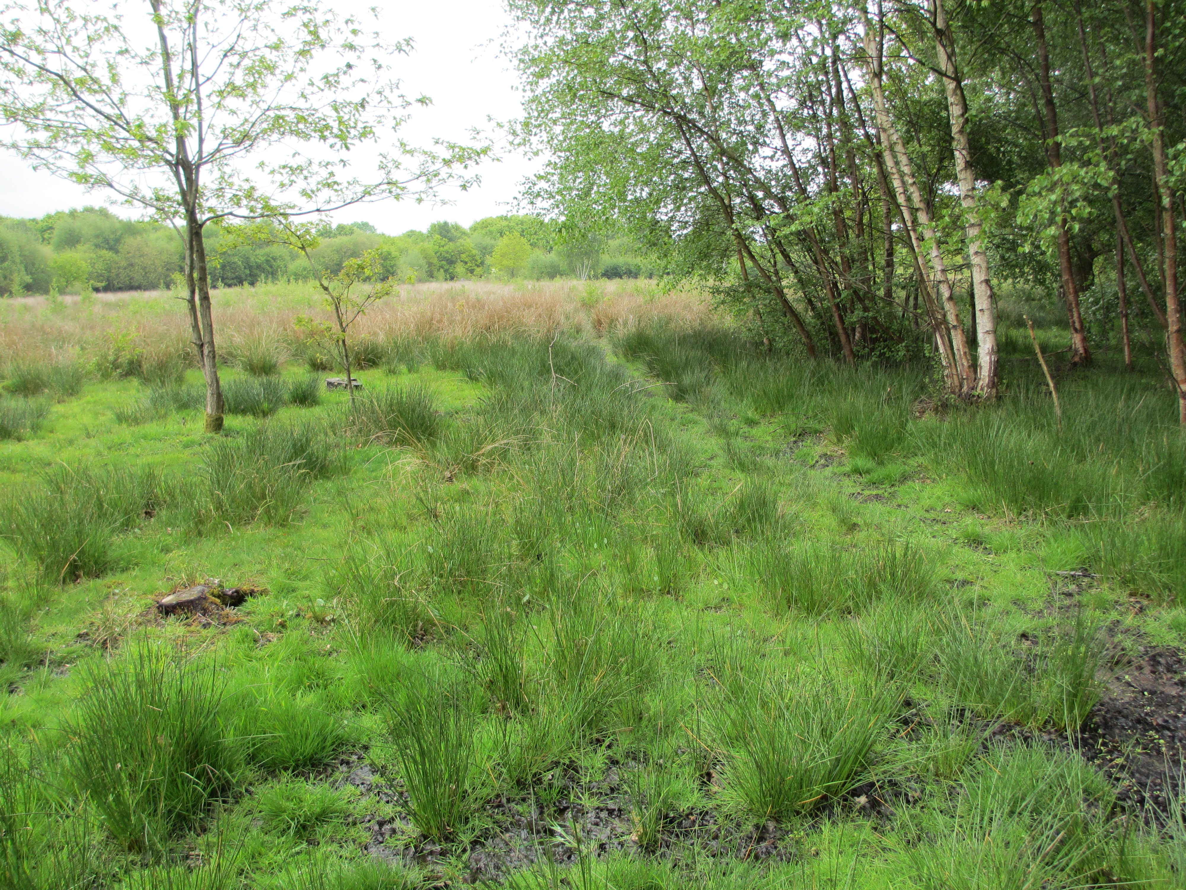
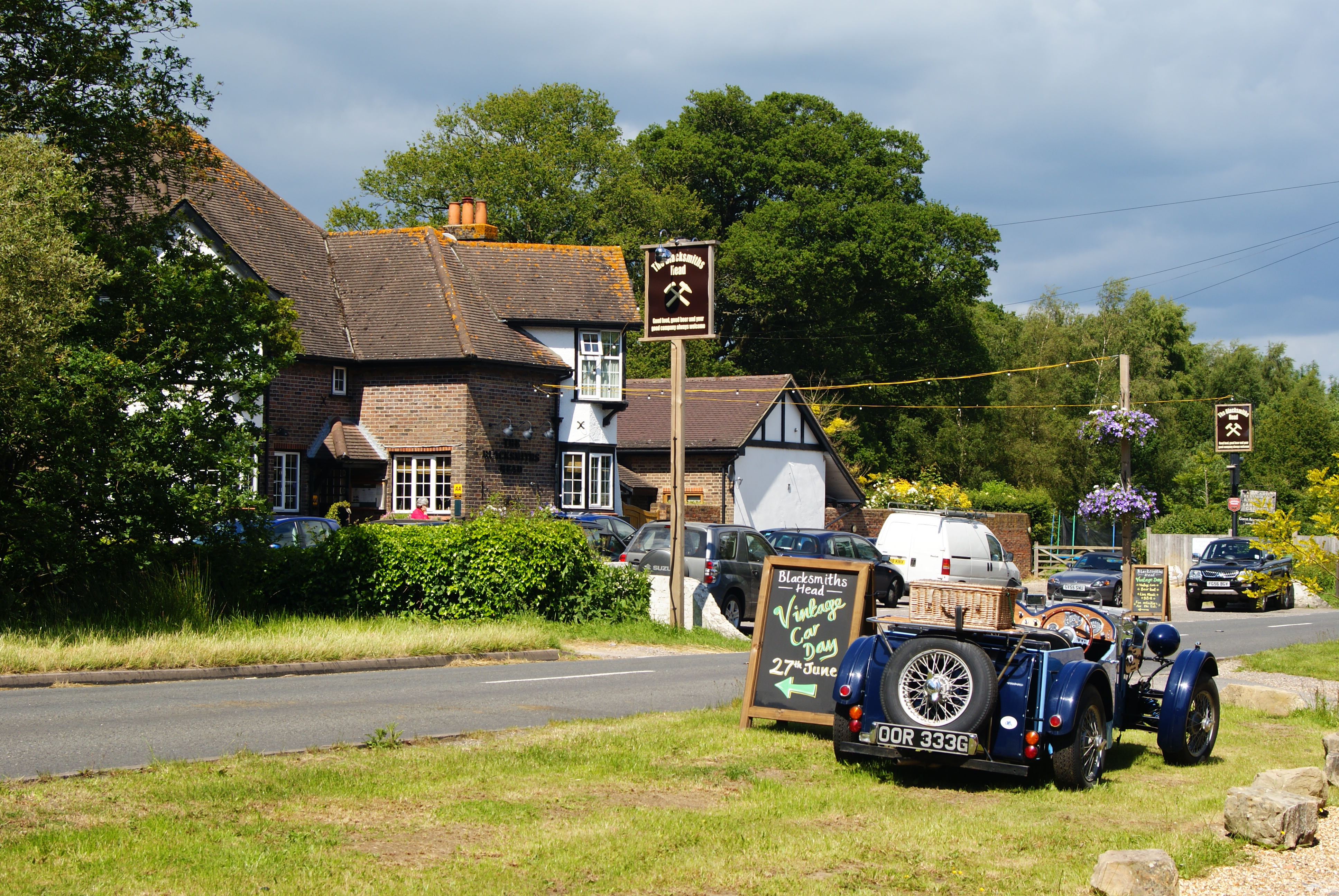
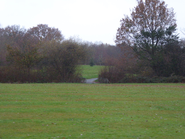
Sylvandene Wood Images

Images are sourced within 2km of 51.182085/-0.05658694 or Grid Reference TQ3544. Thanks to Geograph Open Source API. All images are credited.

Blindley Heath traffic lights Coming from London, this is where you turn left for Lingfield Racecourse ! On the other side of the junction is a cricket field.
Blindley Heath traffic lights
Coming from London, this is where you turn left for Lingfield Racecourse ! On the other side of the junction is a cricket field.
The Red Barn This 'Brewers Fayre' serves food
The Red Barn
This 'Brewers Fayre' serves food
Lingfield Cricket Club This field is mostly within the Grid Square TQ3744 but it is borderline ! 
<span class="nowrap"><a title="www.lingfieldcc.co.uk" rel="nofollow ugc noopener" href="http://www.lingfieldcc.co.uk">Link</a><img style="margin-left:2px;" alt="External link" title="External link - shift click to open in new window" src="https://s1.geograph.org.uk/img/external.png" width="10" height="10"/></span>
Lingfield Cricket Club
This field is mostly within the Grid Square TQ3744 but it is borderline ! LinkExternal link
Entering Bones Lane Coming from Brickhouse Lane, the road junction at Bones Lane.
Entering Bones Lane
Coming from Brickhouse Lane, the road junction at Bones Lane.
Fields near Goulds Farm View looking north west from where the footpath crosses the road
Fields near Goulds Farm
View looking north west from where the footpath crosses the road
Gate House Farm in Eastbourne Road (A22), Newchapel
Gate House Farm
in Eastbourne Road (A22), Newchapel
Stantons Hall Farm Eastbourne Road (A22), Blindley Heath. <span class="nowrap"><a title="http://www.a1tourism.com/uk/stantons.html" rel="nofollow ugc noopener" href="http://www.a1tourism.com/uk/stantons.html">Link</a><img style="margin-left:2px;" alt="External link" title="External link - shift click to open in new window" src="https://s1.geograph.org.uk/img/external.png" width="10" height="10"/></span>
Stantons Hall Farm
Eastbourne Road (A22), Blindley Heath. LinkExternal link
The Jolly Farmer in Whitewood Lane, South Godstone. A circular, convex mirror stands opposite the pub to help motorists leaving the car park. This is actually an image in that mirror - see bottom left.
The Jolly Farmer
in Whitewood Lane, South Godstone. A circular, convex mirror stands opposite the pub to help motorists leaving the car park. This is actually an image in that mirror - see bottom left.
'Avondale', Newchapel Road, near Lingfield, Surrey The B2028 is the westerly outlet from Lingfield towards Gatwick and Crawley, and as such, carries a very heavy traffic.  Here a postman prepares to deliver mail to one of the well-heeled houses on the north side of the road.
'Avondale', Newchapel Road, near Lingfield, Surrey
The B2028 is the westerly outlet from Lingfield towards Gatwick and Crawley, and as such, carries a very heavy traffic. Here a postman prepares to deliver mail to one of the well-heeled houses on the north side of the road.
Farmland near Byers Lane, Surrey Following the recent spell of good weather, the hay is already baled and ready for storage.
Farmland near Byers Lane, Surrey
Following the recent spell of good weather, the hay is already baled and ready for storage.
Surrey Assembly Hall of Jehovah's Witnesses This substantial complex situated off the east side of Byers Lane was formerly Court Lees approved school.  The Jehovah's campaign of knocking on doors has clearly paid off - the car park was very well filled when this photograph was taken on a Sunday morning.
Surrey Assembly Hall of Jehovah's Witnesses
This substantial complex situated off the east side of Byers Lane was formerly Court Lees approved school. The Jehovah's campaign of knocking on doors has clearly paid off - the car park was very well filled when this photograph was taken on a Sunday morning.
Branford Farm, Brickhouse Lane, Surrey The farm is on the west side of the road.
Branford Farm, Brickhouse Lane, Surrey
The farm is on the west side of the road.
Glen Farm, Bones Lane, Surrey A splendidly modernised farmhouse on the north side of Bones Lane, with a complex of barn- and grainstore-conversions adjoining.
Glen Farm, Bones Lane, Surrey
A splendidly modernised farmhouse on the north side of Bones Lane, with a complex of barn- and grainstore-conversions adjoining.
White House Farm, off Bones Lane, Surrey The lady of the house was very pleasant and friendly, the dogs a little less so.
White House Farm, off Bones Lane, Surrey
The lady of the house was very pleasant and friendly, the dogs a little less so.
Whitewood Lane, Surrey Although Whitewood Lane is not a classified road, it carries a remarkably heavy flow of traffic, and it is unusual to see it without a car in view, even on a Sunday morning.  The road forms a useful short cut from Godstone and Blindley Heath to the Horley-Gatwick-Crawley conurbation.
Whitewood Lane, Surrey
Although Whitewood Lane is not a classified road, it carries a remarkably heavy flow of traffic, and it is unusual to see it without a car in view, even on a Sunday morning. The road forms a useful short cut from Godstone and Blindley Heath to the Horley-Gatwick-Crawley conurbation.
Road and public footpath near Blindley Heath, Surrey This footpath is the southern leg of a group of paths which link the A22 eastwards across to Tandridge Lane.  The path is metalled at the western end to give access to a small number of properties.
Road and public footpath near Blindley Heath, Surrey
This footpath is the southern leg of a group of paths which link the A22 eastwards across to Tandridge Lane. The path is metalled at the western end to give access to a small number of properties.
Blindley Heath cricket ground
Pumping station This building would appear to have no door and no window.  It is surrounded by high-security fencing through which I had to poke the camera to take the photograph.
Pumping station
This building would appear to have no door and no window. It is surrounded by high-security fencing through which I had to poke the camera to take the photograph.
Show me another place!

Sylvandene Wood is located at Grid Ref: TQ3544 (Lat: 51.182085, Lng: -0.05658694)

Administrative County: Surrey

District: Tandridge

Police Authority: Surrey

What 3 Words

///dangerously.flute.press. Near Blindley Heath, Surrey

Nearby Locations

Sylvandene Wood

Related Wikis

Blindley Heath SSSI

Blindley Heath SSSI is a 26.3-hectare (65-acre) biological Site of Special Scientific Interest in the hamlet Blindley Heath, on the southern outskirts...

British Wildlife Centre

The British Wildlife Centre is a zoo in the hamlet of Newchapel near Lingfield village in the county of Surrey, South East England. The zoo was founded...

Newchapel, Surrey

Newchapel is a large hamlet in Surrey, England, that falls under the civil parish of Horne. It lies on the A22 between Godstone and East Grinstead. It...

Lingfield F.C.

Lingfield Football Club are a football club based in the village of Lingfield, near East Grinstead, Surrey, England. The club is affiliated to the Surrey...

London England Temple

The London England Temple (formerly the London Temple) is the twelfth operating temple of the Church of Jesus Christ of Latter-day Saints (LDS Church)...

Horne, Surrey

Horne is a rural village and civil parish in the District of Tandridge in Surrey, England. The parish includes the hamlet of Newchapel, where the British...

Lingfield Wildlife Area

Lingfield Wildlife Area is a 6.3-hectare (16-acre) Local Nature Reserve in Lingfield in Surrey. It is owned by Tandridge District Council and managed...

Lingfield, Surrey

Lingfield is a village and civil parish in the Tandridge district of Surrey, England, approximately 23 miles (37 km) south of London. Several buildings...

Nearby Amenities

Located within 500m of 51.182085,-0.05658694
Post Box
Ref: RH7 86
Lat/Long: 51.1805367/-0.0538836
Power: pole
Lat/Long: 51.1788822/-0.0593518
Power: pole
Lat/Long: 51.178176/-0.0583593
Power: pole
Lat/Long: 51.1850544/-0.059094
Power: pole
Lat/Long: 51.1818095/-0.0599711
Power: pole
Source: Surrey_Air_Survey
Lat/Long: 51.1828637/-0.0597648
Power: pole
Lat/Long: 51.1840809/-0.0595393
Power: pole
Lat/Long: 51.1796388/-0.0603764
Power: pole
Lat/Long: 51.1860867/-0.0586247
Power: pole
Lat/Long: 51.1807334/-0.0601588
Barrier: stile
Lat/Long: 51.1853274/-0.0597212
Power: pole
Lat/Long: 51.1861875/-0.0586057
The data included in this document is from www.openstreetmap.org. The data is made available under ODbL.

Have you been to Sylvandene Wood?

Leave your review of Sylvandene Wood below (or comments, questions and feedback).