Drive Shaw
Wood, Forest in Sussex Mid Sussex
England
Drive Shaw
Drive Shaw, Sussex (Wood, Forest) is a picturesque and serene woodland located in Sussex, England. Spanning across a vast area, it is a remarkable example of the region's natural beauty and offers a tranquil escape from the hustle and bustle of everyday life.
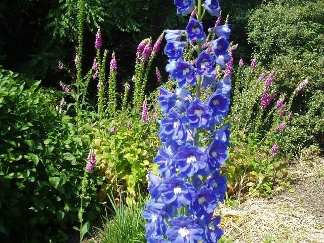
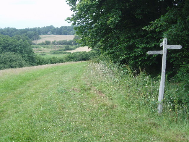
The woodland is characterized by its dense canopy of trees, predominantly consisting of oak, beech, and birch. These towering trees create a serene and shady environment, perfect for leisurely strolls and exploration. The forest floor is adorned with a rich carpet of ferns, wildflowers, and mosses, further enhancing the enchanting atmosphere.
Drive Shaw is home to a diverse array of wildlife, providing a haven for many species. Birdwatchers can delight in spotting various avian species, including woodpeckers, owls, and an assortment of songbirds. The forest also hosts a plethora of small mammals, such as badgers, foxes, and squirrels, adding to the natural biodiversity.
Visitors to Drive Shaw can partake in a range of activities to immerse themselves in the natural surroundings. Walking and hiking trails are well-maintained, allowing visitors to explore the forest at their own pace. The tranquility and natural beauty also make it an ideal location for photography, with countless opportunities to capture stunning shots of the landscape and wildlife.
For those seeking a moment of respite, Drive Shaw offers several picnic areas and benches strategically placed throughout the woodland. These provide the perfect setting to relax, enjoy a packed lunch, or simply soak in the peaceful ambiance.
Drive Shaw, Sussex (Wood, Forest) is a true gem of the region, offering a sanctuary of natural beauty and tranquility for visitors to enjoy. Whether one wishes to explore, observe wildlife, or simply unwind, this woodland provides an idyllic retreat in the heart of Sussex.
If you have any feedback on the listing, please let us know in the comments section below.
Drive Shaw Images
Images are sourced within 2km of 51.094306/-0.059983872 or Grid Reference TQ3534. Thanks to Geograph Open Source API. All images are credited.


Drive Shaw is located at Grid Ref: TQ3534 (Lat: 51.094306, Lng: -0.059983872)
Administrative County: West Sussex
District: Mid Sussex
Police Authority: Sussex
What 3 Words
///trimmer.grounding.tarnished. Near Crawley Down, West Sussex
Nearby Locations
Related Wikis

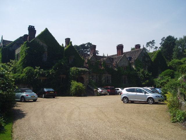
Gravetye Manor
Gravetye Manor is a manor house located near East Grinstead, West Sussex, England. The former home of landscape gardener William Robinson, it is now a...

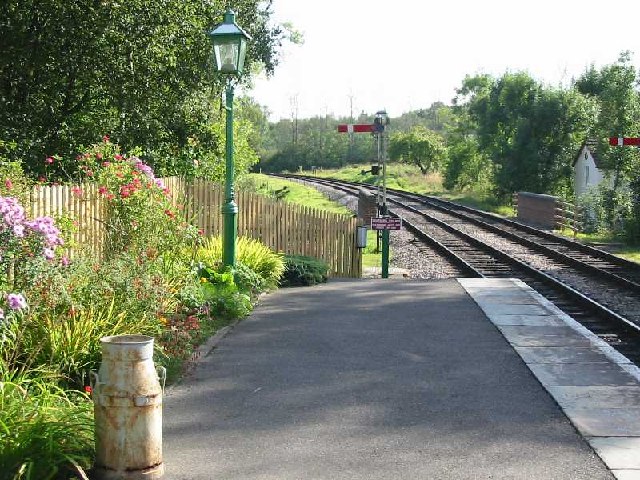
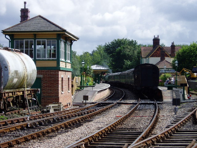
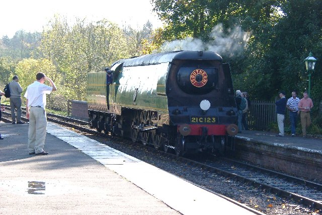
Kingscote railway station
Kingscote railway station is a preserved railway station on the heritage Bluebell Railway, located in West Sussex, England. == History == The station was...

West Hoathly
West Hoathly is a village and civil parish in the Mid Sussex District of West Sussex, England, located 3.5 miles (5.6 km) south west of East Grinstead...
St Margaret's Church, West Hoathly
St Margaret's Church (dedicated in full to St Margaret of Antioch) is an Anglican church in the village of West Hoathly in Mid Sussex, one of seven local...

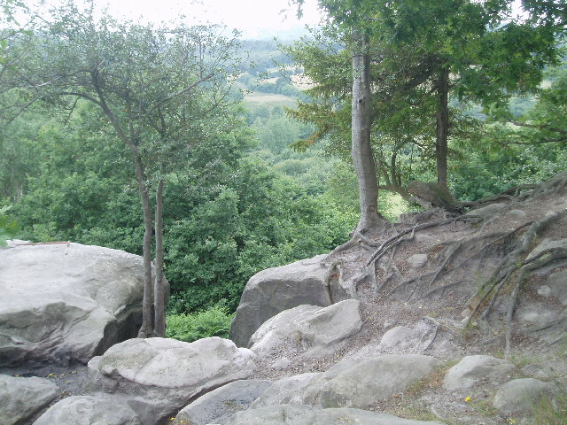
Stone Farm Rocks
Stone Farm Rocks or Stone Hill Rocks is a 0.6-hectare (1.5-acre) geological Site of Special Scientific Interest south of East Grinstead in West Sussex...

Turners Hill
Turners Hill is a village and civil parish in the Mid Sussex District of West Sussex, England. The civil parish covers an area of 1,390 hectares (3,400...

West Hoathly railway station
West Hoathly is a closed railway station on what is now the Bluebell Railway. The station was closed in 1958, but was used by contractors demolishing the...

The Priest House, West Hoathly
The Priest House is a Grade II* listed fifteenth century timber framed hall house in the centre of West Hoathly, in West Sussex, England. It is close to...
Nearby Amenities
Located within 500m of 51.094306,-0.059983872Have you been to Drive Shaw?
Leave your review of Drive Shaw below (or comments, questions and feedback).