Duckell's Wood
Wood, Forest in Sussex Mid Sussex
England
Duckell's Wood
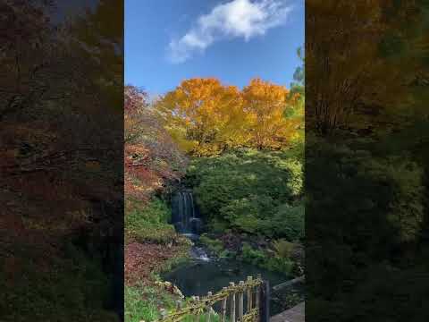
Duckell's Wood, located in Sussex, England, is a picturesque woodland area known for its natural beauty and diverse ecosystem. Covering an area of approximately 500 acres, it is a popular destination for nature enthusiasts, hikers, and wildlife photographers.
The wood is primarily made up of deciduous trees, including oak, beech, and ash, which provide a stunning display of vibrant colors during autumn. The dense canopy allows only dappled sunlight to filter through, creating a tranquil and enchanting atmosphere.
Duckell's Wood is home to a wide variety of wildlife, making it a haven for nature lovers. Visitors may come across various bird species, including woodpeckers, thrushes, and owls, as well as small mammals such as rabbits, foxes, and badgers. The wood also supports a rich insect population, attracting butterflies, dragonflies, and bees.
The wood is crisscrossed by several well-maintained walking trails, allowing visitors to explore its beauty at their own pace. These trails lead to charming clearings and peaceful glades, offering opportunities for picnics or simply immersing oneself in the serenity of nature.
Managed by a local conservation group, Duckell's Wood is committed to preserving its natural habitats and promoting sustainable practices. The wood is regularly maintained to ensure the well-being of its flora and fauna, and informative signs are placed along the trails to educate visitors about the importance of conservation.
Overall, Duckell's Wood is a true gem of Sussex, offering a haven of tranquility and natural beauty for all who visit.
If you have any feedback on the listing, please let us know in the comments section below.
Duckell's Wood Images
Images are sourced within 2km of 51.090332/-0.067133185 or Grid Reference TQ3534. Thanks to Geograph Open Source API. All images are credited.


Duckell's Wood is located at Grid Ref: TQ3534 (Lat: 51.090332, Lng: -0.067133185)
Administrative County: West Sussex
District: Mid Sussex
Police Authority: Sussex
What 3 Words
///barstool.directly.broadens. Near Crawley Down, West Sussex
Nearby Locations
Related Wikis

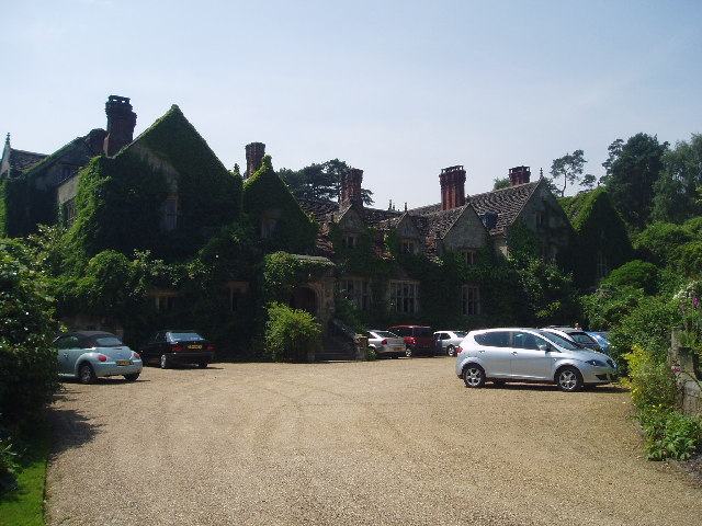
Gravetye Manor
Gravetye Manor is a manor house located near East Grinstead, West Sussex, England. The former home of landscape gardener William Robinson, it is now a...

West Hoathly
West Hoathly is a village and civil parish in the Mid Sussex District of West Sussex, England, located 3.5 miles (5.6 km) south west of East Grinstead...
St Margaret's Church, West Hoathly
St Margaret's Church (dedicated in full to St Margaret of Antioch) is an Anglican church in the village of West Hoathly in Mid Sussex, one of seven local...

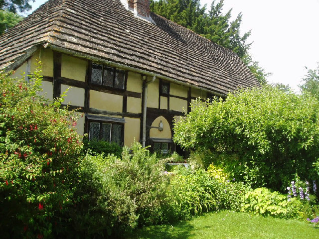
The Priest House, West Hoathly
The Priest House is a Grade II* listed fifteenth century timber framed hall house in the centre of West Hoathly, in West Sussex, England. It is close to...

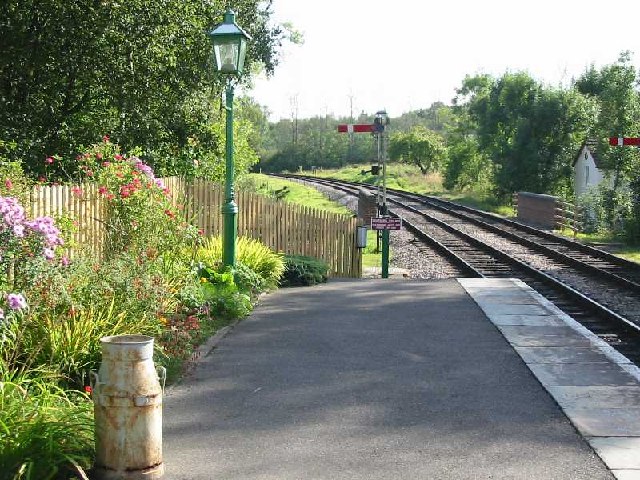
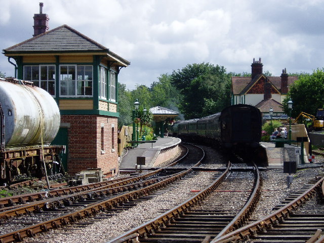
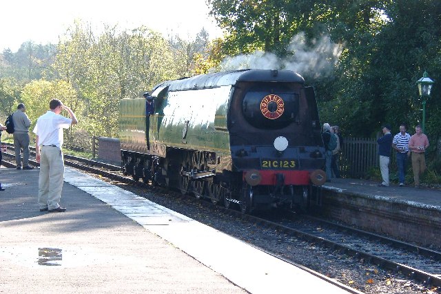
Kingscote railway station
Kingscote railway station is a preserved railway station on the heritage Bluebell Railway, located in West Sussex, England. == History == The station was...

Turners Hill
Turners Hill is a village and civil parish in the Mid Sussex District of West Sussex, England. The civil parish covers an area of 1,390 hectares (3,400...
Turners Hill SSSI
Turners Hill SSSI is a 0.2-hectare (0.49-acre) geological Site of Special Scientific Interest in Turners Hill in West Sussex. It is a Geological Conservation...

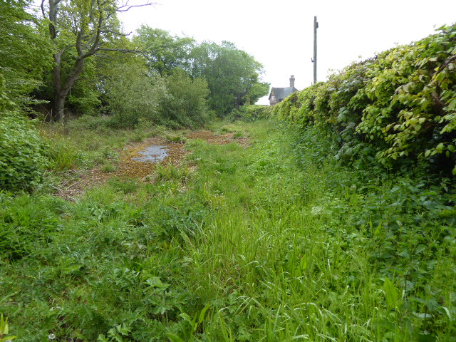
West Hoathly railway station
West Hoathly is a closed railway station on what is now the Bluebell Railway. The station was closed in 1958, but was used by contractors demolishing the...
Related Videos


Nearby Amenities
Located within 500m of 51.090332,-0.067133185Have you been to Duckell's Wood?
Leave your review of Duckell's Wood below (or comments, questions and feedback).