Chestnut Grove
Wood, Forest in Hertfordshire Broxbourne
England
Chestnut Grove
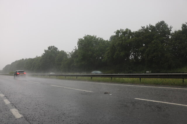
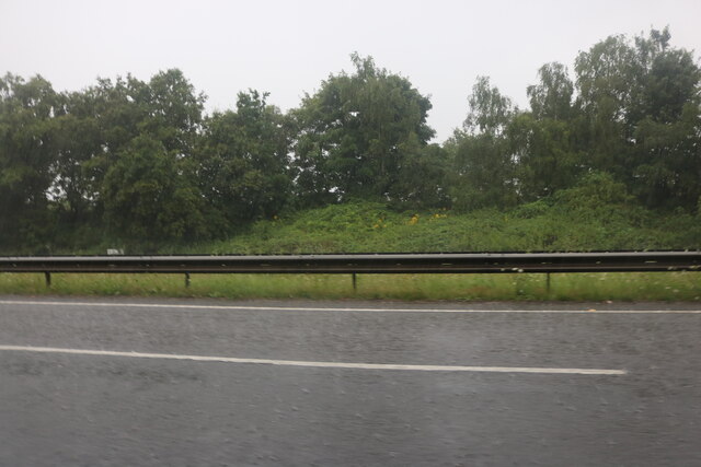
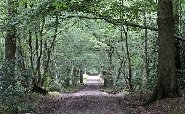
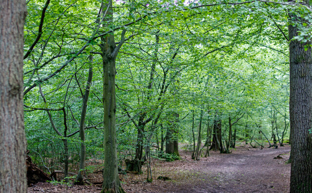
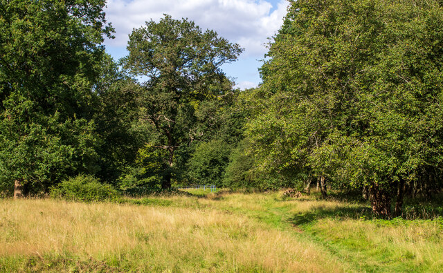
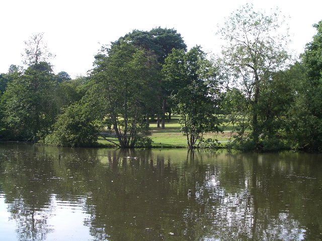
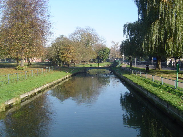
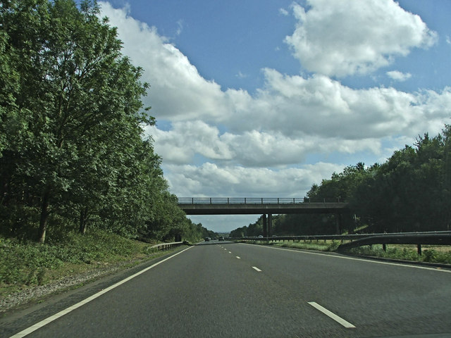
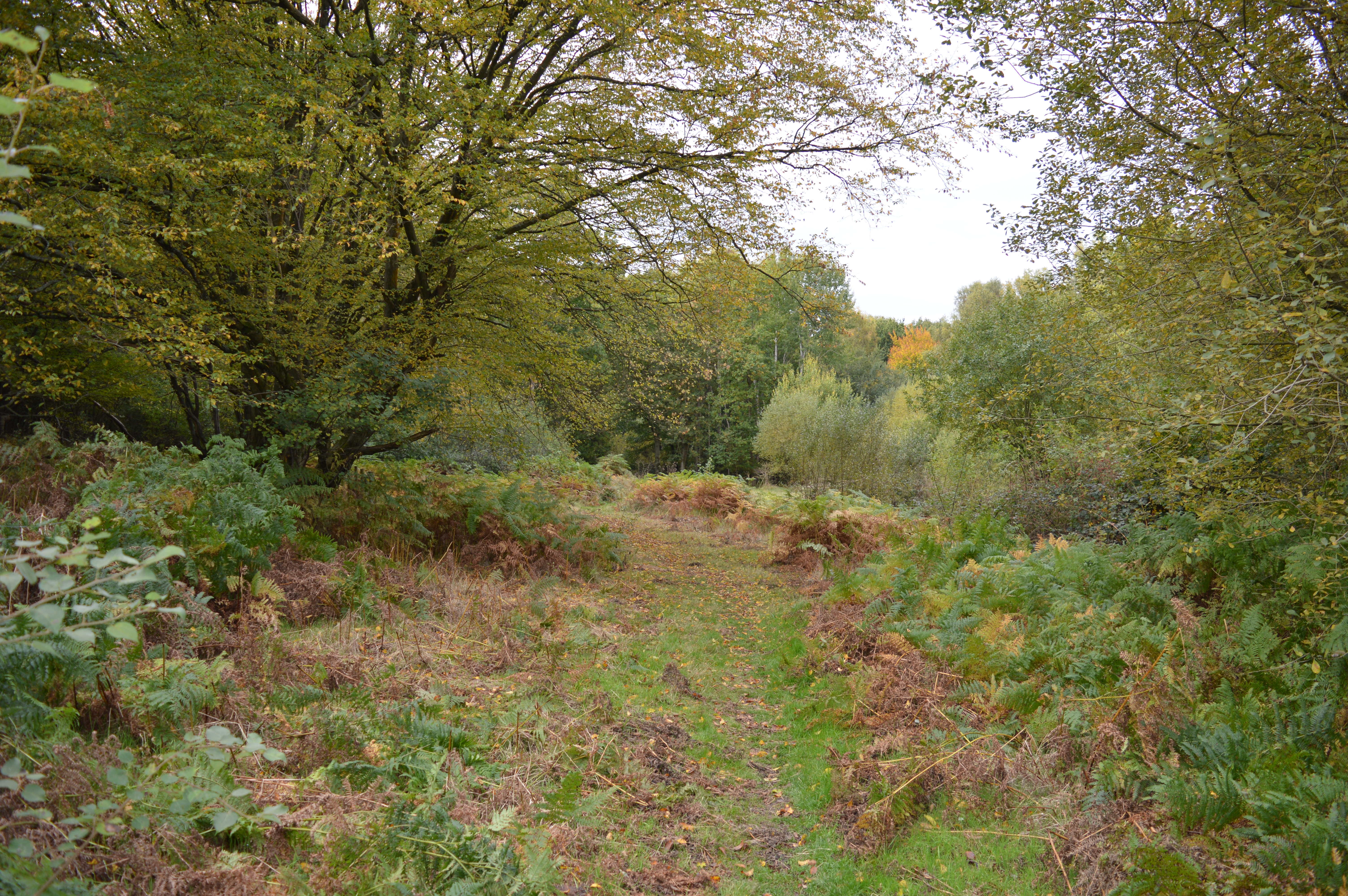
Chestnut Grove is a picturesque woodland area located in the county of Hertfordshire, England. Situated in the heart of the county, it is known for its abundant chestnut trees that span across the vast landscape. The grove is part of a larger forest area, providing a serene and tranquil environment for visitors to enjoy.
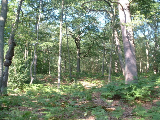
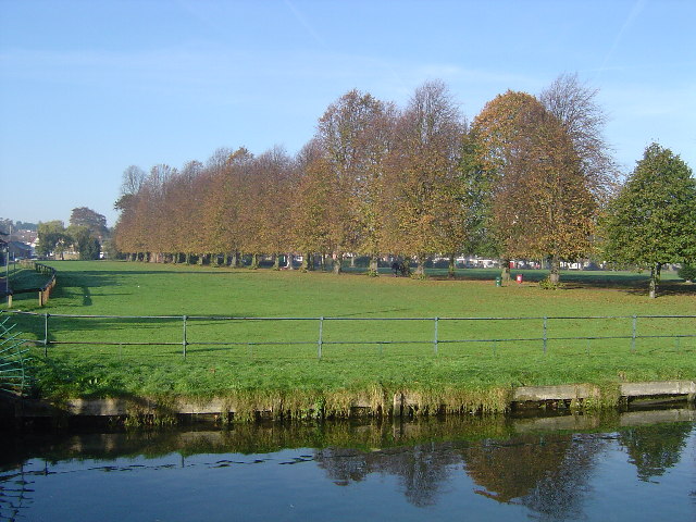
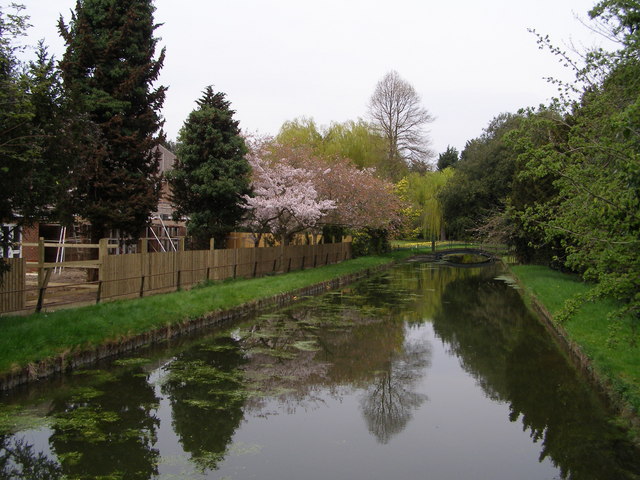
Covering an area of approximately 100 acres, Chestnut Grove boasts a diverse range of flora and fauna. The towering chestnut trees dominate the landscape, creating a dense canopy that offers shade during the summer months. The forest floor is carpeted with a variety of wildflowers, adding bursts of color to the scenery.
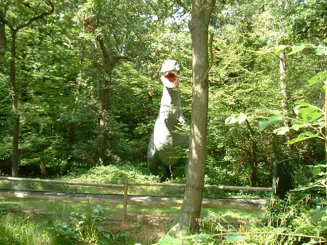
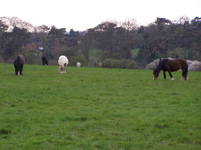
Visitors to Chestnut Grove can explore the numerous walking trails that wind through the forest, offering opportunities for both leisurely strolls and more challenging hikes. The trails are well-maintained, ensuring visitors can navigate the terrain comfortably. The grove is also home to a variety of wildlife, including deer, squirrels, and a wide array of bird species, making it a popular spot for nature enthusiasts and birdwatchers.
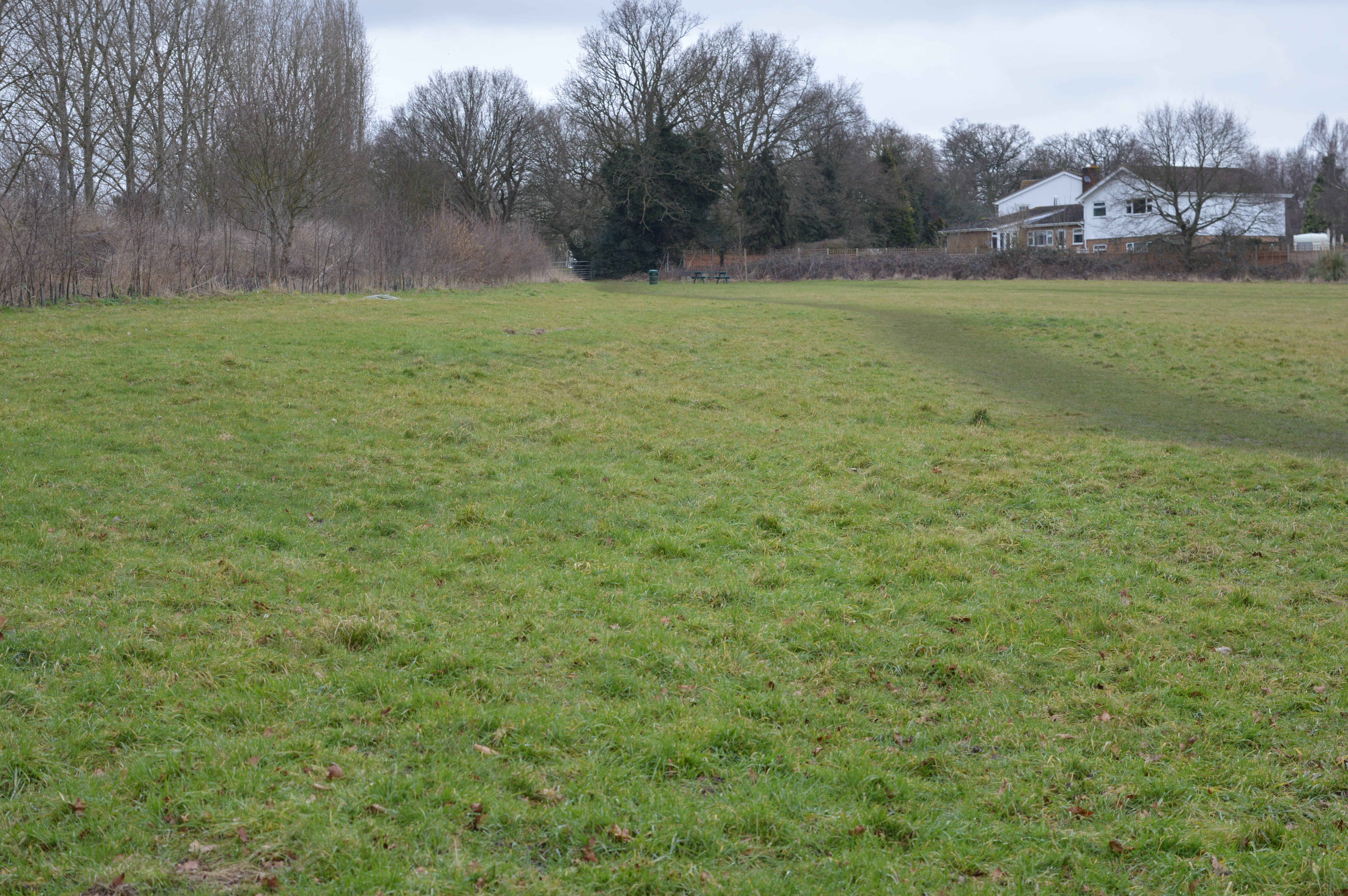
In addition to its natural beauty, Chestnut Grove offers various recreational activities for visitors. There are designated picnic areas where families and friends can enjoy a meal amidst the peaceful surroundings. The grove also provides space for camping, allowing visitors to fully immerse themselves in the beauty of nature.
Overall, Chestnut Grove in Hertfordshire is a haven for those seeking solace in the midst of nature. Its verdant landscape, diverse wildlife, and recreational opportunities make it a cherished destination for locals and tourists alike.
If you have any feedback on the listing, please let us know in the comments section below.
Chestnut Grove Images
Images are sourced within 2km of 51.750374/-0.042314785 or Grid Reference TL3507. Thanks to Geograph Open Source API. All images are credited.

Chestnut Grove is located at Grid Ref: TL3507 (Lat: 51.750374, Lng: -0.042314785)
Administrative County: Hertfordshire
District: Broxbourne
Police Authority: Hertfordshire
What 3 Words
///invest.school.loving. Near Broxbourne, Hertfordshire
Nearby Locations
Related Wikis
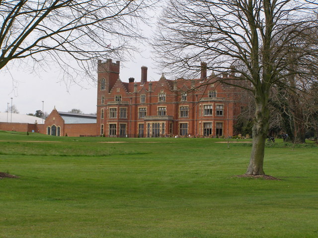
Broxbournebury Manor
Broxbournebury Manor is a country club in Broxbourne, Hertfordshire, England. It is a building of historical significance and is listed on the English...
Danemead
Danemead is a 5.6-hectare nature reserve west of Hoddesdon in Hertfordshire, managed by the Herts and Middlesex Wildlife Trust. It is part of the Wormley...

Paradise Wildlife Park
Paradise Wildlife Park is a family-run wildlife park and charity located in Broxbourne, Hertfordshire, England. Previously known as Broxbourne Zoo, it...
Top Field and Cozens Grove
Top Field and Cozens Grove is a 6.1 hectare Local Nature Reserve in Wormley in Hertfordshire. It is owned and managed by Broxbourne Borough Council.Top...

Cannix
Cannix otherwise Canwykes or Broxbournes, is an area near Broxbourne, Hertfordshire, England. It was named from its early tenants, and was held of the...
Broxbourne
Broxbourne is a town in the Borough of Broxbourne district, in Hertfordshire, England, with a population of 15,303 at the 2011 Census. It is located to...

Barclay Park
Barclay Park is a park in Hoddesdon, Hertfordshire, England. == History == In 1403 there was a house on the land called High Wyches which by 1677 had been...
The Broxbourne School
The Broxbourne School is a coeducational secondary school and sixth form with academy status located in Broxbourne, Hertfordshire, England. The school...
Nearby Amenities
Located within 500m of 51.750374,-0.042314785Have you been to Chestnut Grove?
Leave your review of Chestnut Grove below (or comments, questions and feedback).