Haystack Grove
Wood, Forest in Hertfordshire Broxbourne
England
Haystack Grove
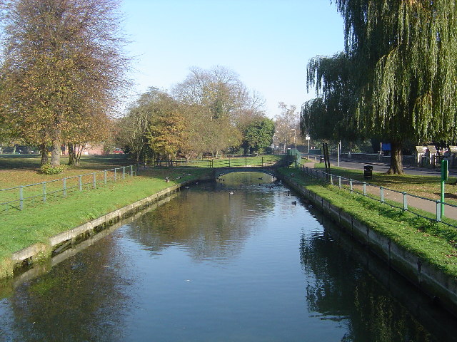
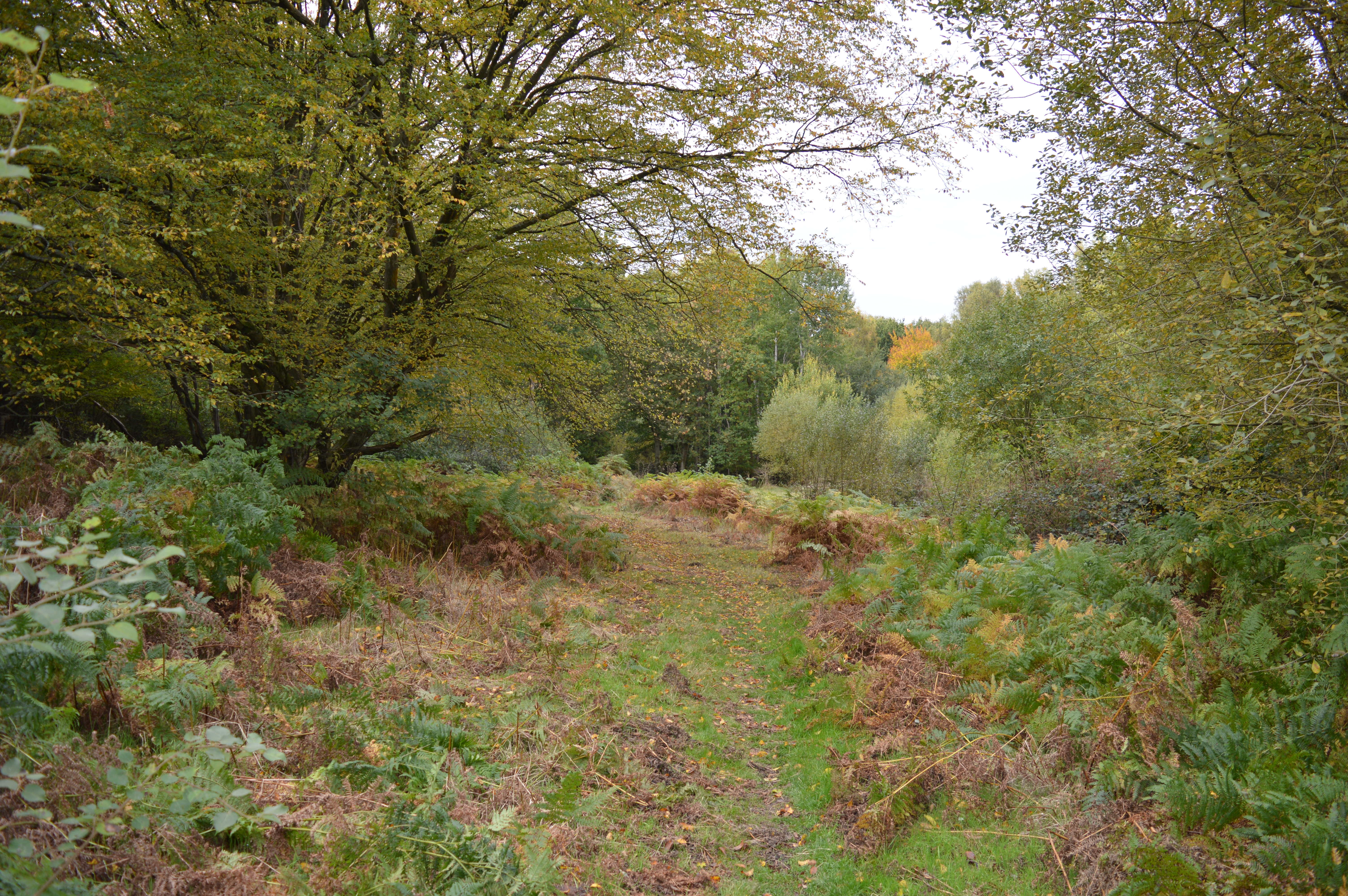
Haystack Grove is a picturesque woodland area located in Hertfordshire, England. Situated near the town of Hertford, this enchanting forest is a popular destination for nature lovers and outdoor enthusiasts.
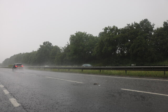
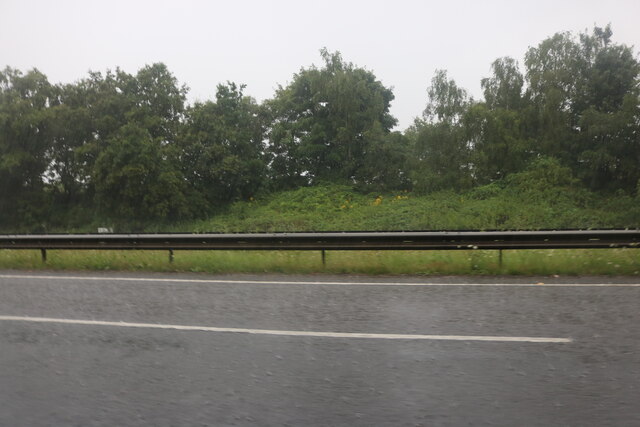
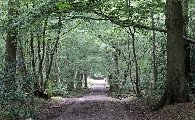
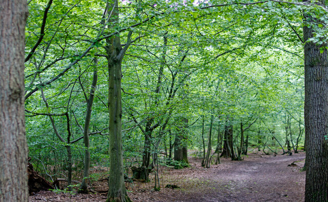
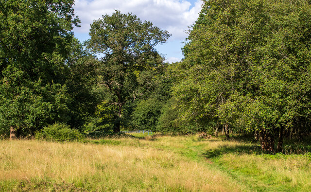
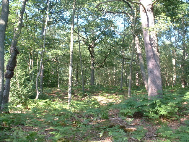
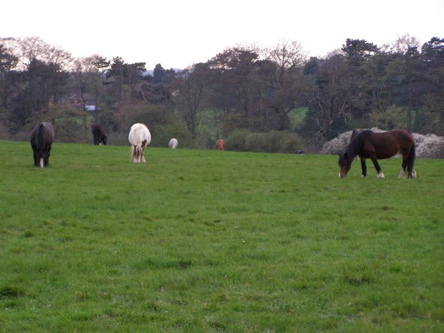
Covering an area of approximately 100 hectares, Haystack Grove is characterized by its dense, ancient woodlands consisting of a variety of tree species. The forest is predominantly made up of native trees such as oak, beech, and birch, creating a diverse and vibrant ecosystem. The woodland floor is adorned with a rich tapestry of wildflowers, providing a haven for various species of birds, mammals, and insects.
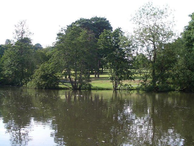
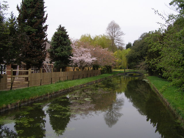
The grove is crisscrossed by a network of well-maintained walking trails, offering visitors the opportunity to explore the beauty of the woodland at their own pace. These paths wind through the forest, passing by tranquil streams, small ponds, and moss-covered rocks, creating a serene and peaceful atmosphere.
Haystack Grove is also home to a number of rare and protected species, including the red squirrel and the lesser spotted woodpecker. As a result, the forest has been designated as a Site of Special Scientific Interest (SSSI), ensuring its preservation and conservation.
The grove is open to the public year-round, and visitors can enjoy a range of activities such as walking, picnicking, and birdwatching. The forest is particularly stunning during the autumn months when the trees display a vibrant array of colors.
Overall, Haystack Grove in Hertfordshire is a natural gem, offering visitors a chance to immerse themselves in the beauty and tranquility of a traditional English woodland.
If you have any feedback on the listing, please let us know in the comments section below.
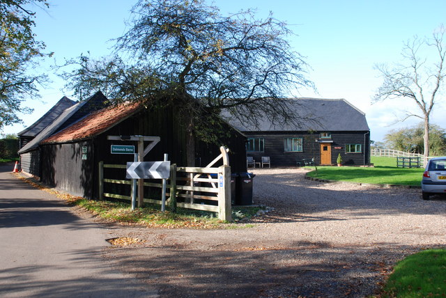
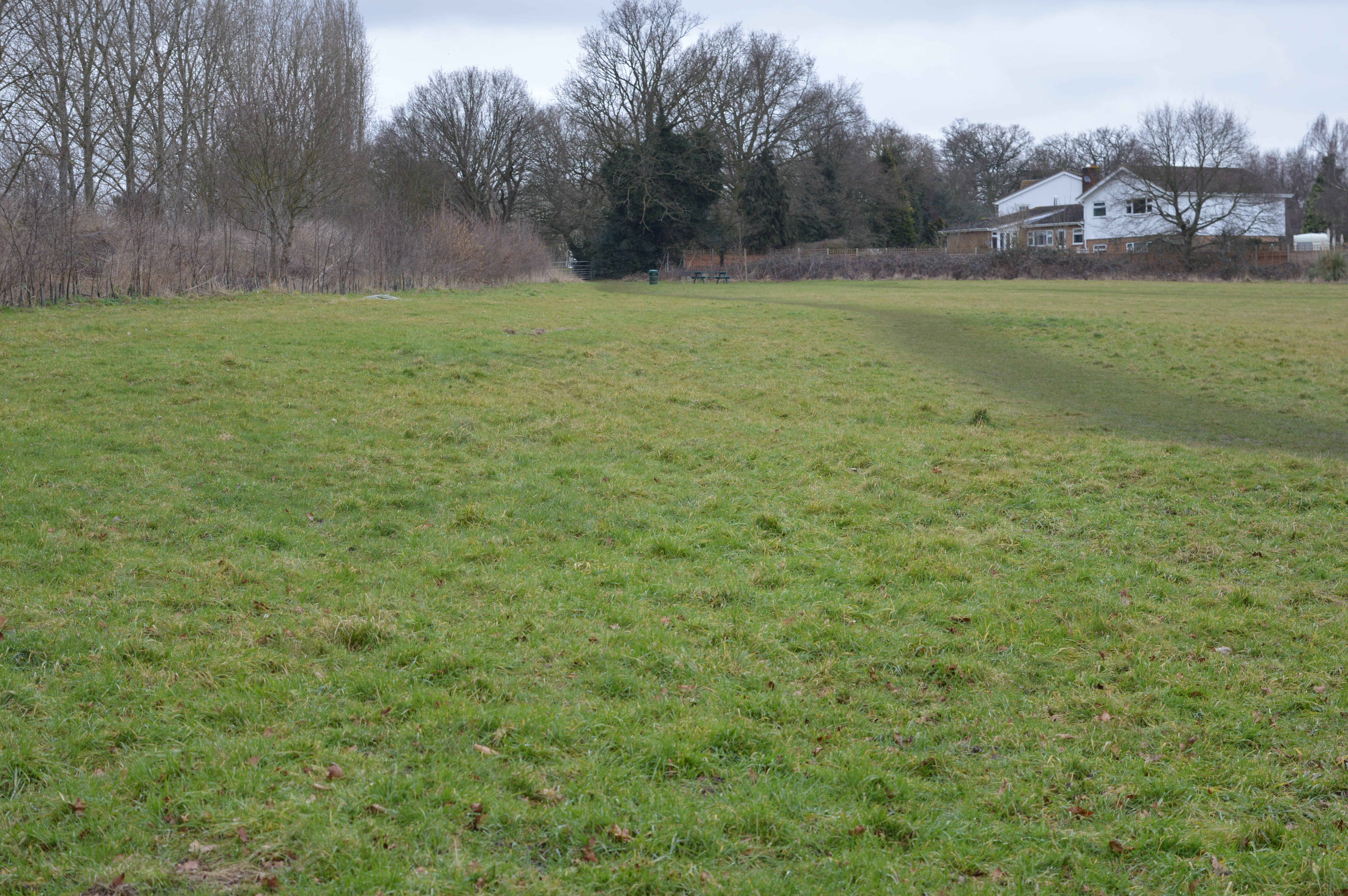
Haystack Grove Images
Images are sourced within 2km of 51.75289/-0.041713339 or Grid Reference TL3507. Thanks to Geograph Open Source API. All images are credited.

Haystack Grove is located at Grid Ref: TL3507 (Lat: 51.75289, Lng: -0.041713339)
Administrative County: Hertfordshire
District: Broxbourne
Police Authority: Hertfordshire
What 3 Words
///scare.tins.oppose. Near Broxbourne, Hertfordshire
Nearby Locations
Related Wikis
Danemead
Danemead is a 5.6-hectare nature reserve west of Hoddesdon in Hertfordshire, managed by the Herts and Middlesex Wildlife Trust. It is part of the Wormley...
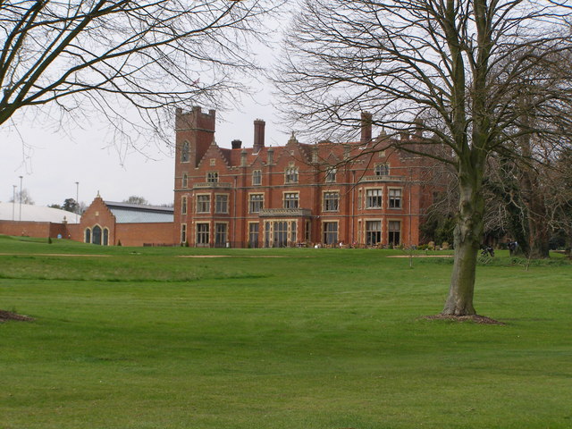
Broxbournebury Manor
Broxbournebury Manor is a country club in Broxbourne, Hertfordshire, England. It is a building of historical significance and is listed on the English...

Barclay Park
Barclay Park is a park in Hoddesdon, Hertfordshire, England. == History == In 1403 there was a house on the land called High Wyches which by 1677 had been...
Top Field and Cozens Grove
Top Field and Cozens Grove is a 6.1 hectare Local Nature Reserve in Wormley in Hertfordshire. It is owned and managed by Broxbourne Borough Council.Top...
Broxbourne
Broxbourne is a town in the Borough of Broxbourne district, in Hertfordshire, England, with a population of 15,303 at the 2011 Census. It is located to...

Cannix
Cannix otherwise Canwykes or Broxbournes, is an area near Broxbourne, Hertfordshire, England. It was named from its early tenants, and was held of the...

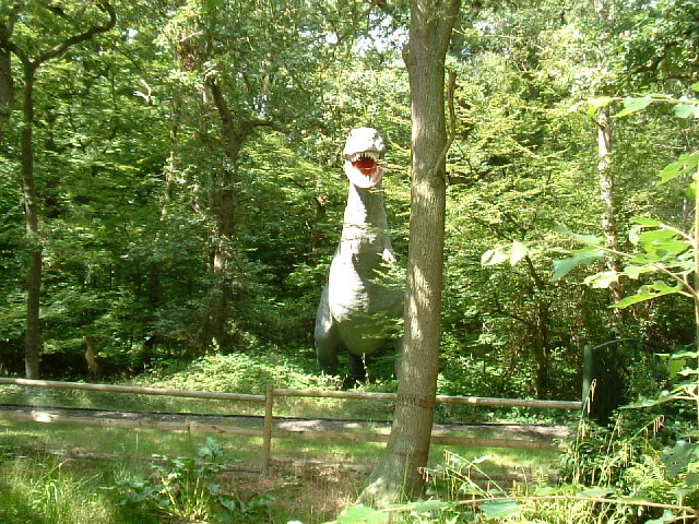
Paradise Wildlife Park
Paradise Wildlife Park is a family-run wildlife park and charity located in Broxbourne, Hertfordshire, England. Previously known as Broxbourne Zoo, it...
Robert Barclay Academy
Robert Barclay Academy (formerly Sheredes School) is a co-educational secondary school and sixth form located in Hoddesdon in the English county of Hertfordshire...
Nearby Amenities
Located within 500m of 51.75289,-0.041713339Have you been to Haystack Grove?
Leave your review of Haystack Grove below (or comments, questions and feedback).