Cloven Hill
Hill, Mountain in Lincolnshire East Lindsey
England
Cloven Hill
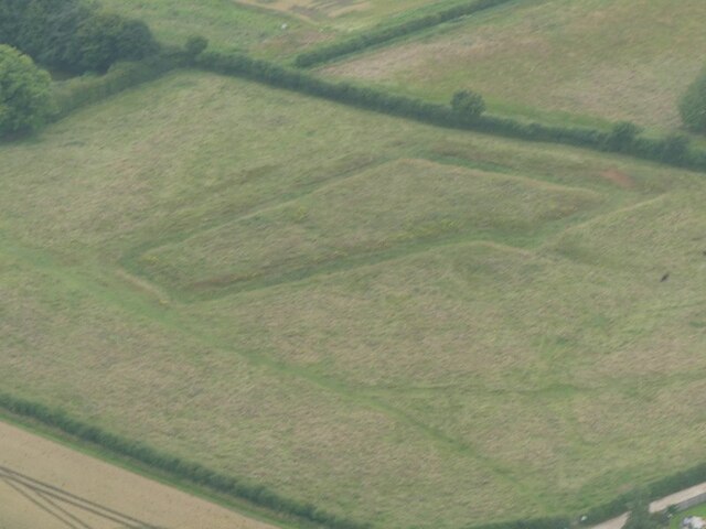
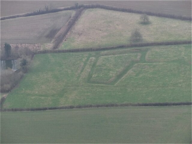
Cloven Hill is a prominent geographical feature located in the county of Lincolnshire, England. Situated in the Lincolnshire Wolds, it is a gently sloping hill that offers stunning panoramic views of the surrounding countryside. Rising to an elevation of approximately 168 meters (550 feet), it is one of the highest points in the area, making it a popular destination for locals and tourists alike.
The hill derives its name from the distinctive cleft or "cloven" appearance of its summit, which is believed to have been formed during the last Ice Age. This unique topographical feature adds to the charm and appeal of the area, attracting nature enthusiasts, hikers, and photographers who are keen to capture its beauty.
Cloven Hill is home to a diverse range of flora and fauna, with its grassy slopes providing a habitat for various species of wildflowers, butterflies, and small mammals. The hillside is also dotted with clusters of trees, adding to its picturesque setting.
Visitors to Cloven Hill can enjoy a range of activities, including hiking and walking along the well-maintained trails that crisscross the area. The hill's summit offers breathtaking vistas of the Lincolnshire Wolds, with distant views of rolling hills, farmland, and picturesque villages. On clear days, it is even possible to see the Lincoln Cathedral in the distance.
Overall, Cloven Hill is a scenic and tranquil location, offering visitors a chance to connect with nature and experience the natural beauty of the Lincolnshire countryside.
If you have any feedback on the listing, please let us know in the comments section below.
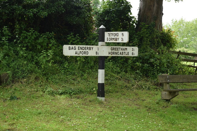
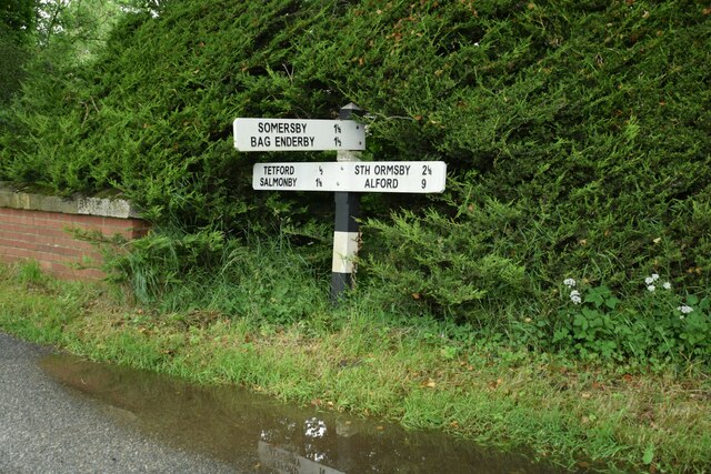
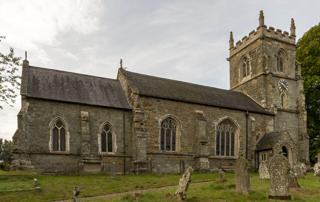
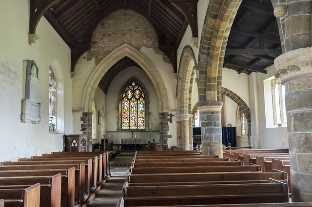
Cloven Hill Images
Images are sourced within 2km of 53.244181/0.032614906 or Grid Reference TF3573. Thanks to Geograph Open Source API. All images are credited.
Cloven Hill is located at Grid Ref: TF3573 (Lat: 53.244181, Lng: 0.032614906)
Administrative County: Lincolnshire
District: East Lindsey
Police Authority: Lincolnshire
What 3 Words
///skin.starfish.requested. Near Burwell, Lincolnshire
Nearby Locations
Related Wikis

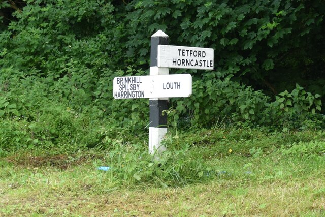
Brinkhill
Brinkhill is a village and civil parish in the East Lindsey district of Lincolnshire, England. It is situated approximately 5 miles (8 km) west from the...

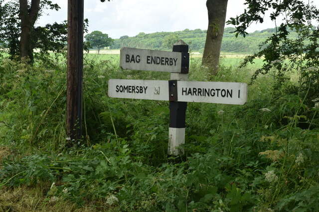
Somersby, Lincolnshire
Somersby is a village in the civil parish of Greetham with Somersby, in the East Lindsey district of Lincolnshire, England. It is situated 6 miles (9.7...
Somersby Grange
Somersby Grange is a Grade I listed Georgian country house in Somersby, Lincolnshire.The house was built in 1722 for Robert Burton, the local lord of the...

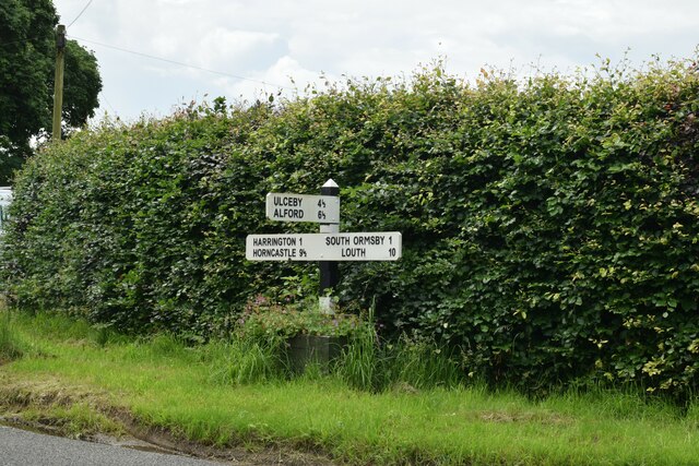
Harrington, Lincolnshire
Harrington is a hamlet and civil parish in the East Lindsey district of Lincolnshire, England. It is situated 6 miles (10 km) south-west from Alford, and...

South Ormsby
South Ormsby, sometimes called South Ormesby, is a village in the East Lindsey district of Lincolnshire, England. It is situated 1 mile (1.6 km) west from...
Tetford
Tetford is a village and civil parish in the East Lindsey district of Lincolnshire, England. == History == Tetford is listed as "Tesforde" in the Domesday...

Ketsby
Ketsby is a hamlet in the civil parish of South Ormsby in the East Lindsey district of Lincolnshire, England. It is situated 5 miles (8.0 km) west from...

Bluestone Heath Road
The Bluestone Heath Road is an ancient route and ridgeway across the Lincolnshire Wolds in Lincolnshire, England. The surviving parts are somewhat fragmented...
Related Videos

I feel thin… sort of stretched, like butter scraped over too much bread.
Bilbo Baggins... I feel thin… sort of stretched, like butter scraped over too much bread. Now, lets say, hypothetically, that ...
Nearby Amenities
Located within 500m of 53.244181,0.032614906Have you been to Cloven Hill?
Leave your review of Cloven Hill below (or comments, questions and feedback).