Claypit Hill
Hill, Mountain in Cambridgeshire South Cambridgeshire
England
Claypit Hill
Claypit Hill is a prominent geographical feature located in the county of Cambridgeshire, England. Situated near the village of Over, it is considered one of the highest points in the region. Despite its name, Claypit Hill is not a true hill or mountain but rather a gentle rise in the landscape, reaching an elevation of approximately 71 meters (233 feet) above sea level.
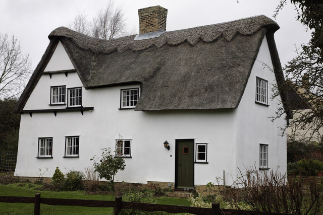
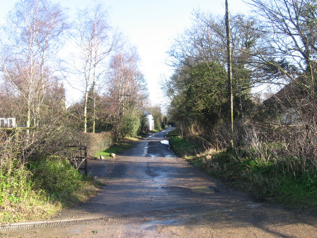
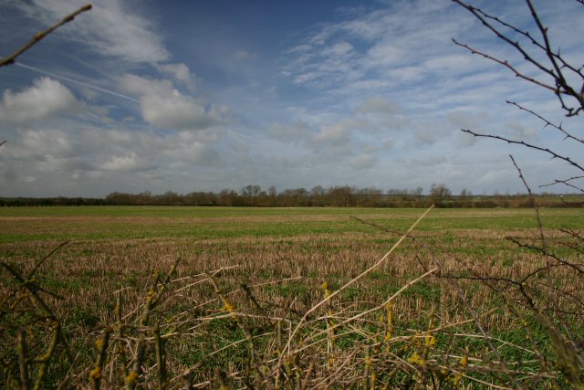
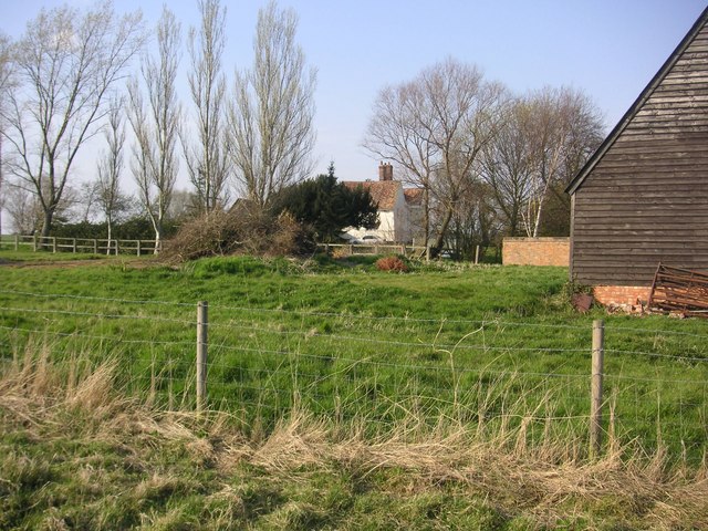
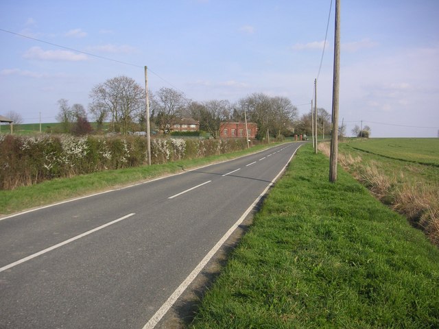
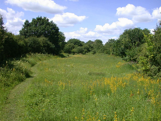
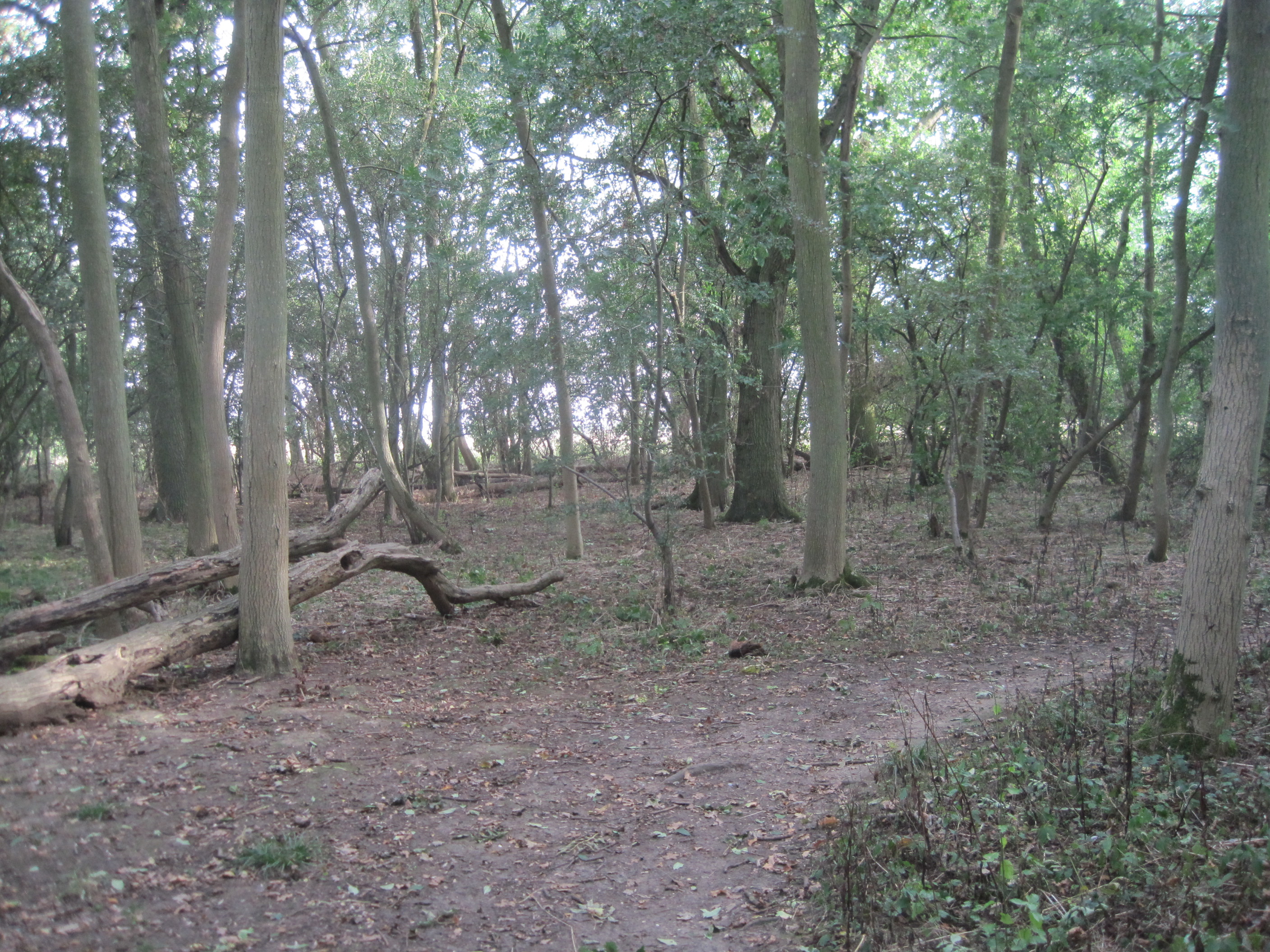
The area surrounding Claypit Hill is primarily agricultural, characterized by extensive fields and farmland. The hill itself is covered in lush grass and sporadic patches of trees, providing picturesque views of the surrounding countryside. It serves as a popular spot for recreational activities such as walking, hiking, and picnicking, attracting both locals and visitors alike.
Historically, Claypit Hill derived its name from the presence of clay pits in the vicinity, which were used for brick and tile production during the medieval period. These clay pits have since been abandoned, leaving behind small depressions in the landscape that can still be observed today.
Due to its relatively low elevation, Claypit Hill does not offer expansive views of the surrounding area. However, on a clear day, visitors can catch glimpses of nearby villages and the distant Fenland landscape. The hill's accessibility and tranquil atmosphere make it a popular destination for nature enthusiasts and those seeking a peaceful retreat in the heart of Cambridgeshire.
If you have any feedback on the listing, please let us know in the comments section below.
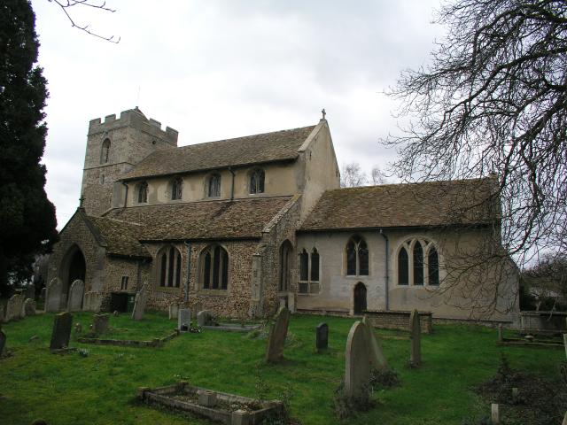
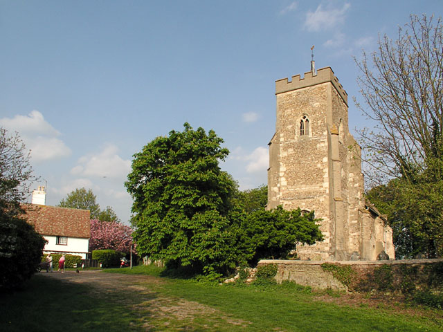
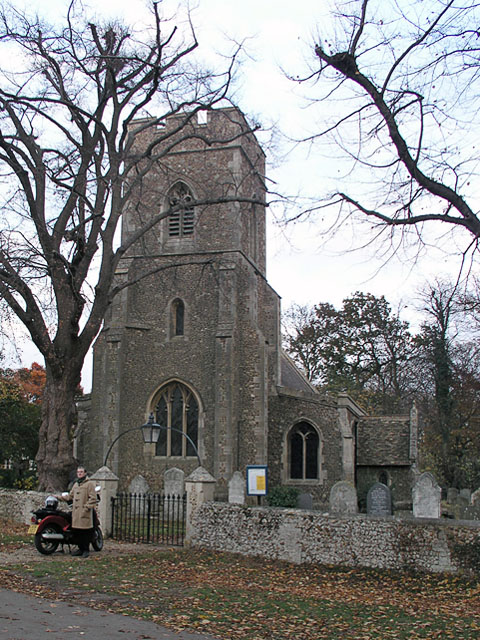
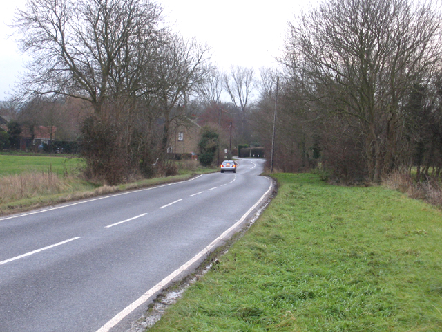
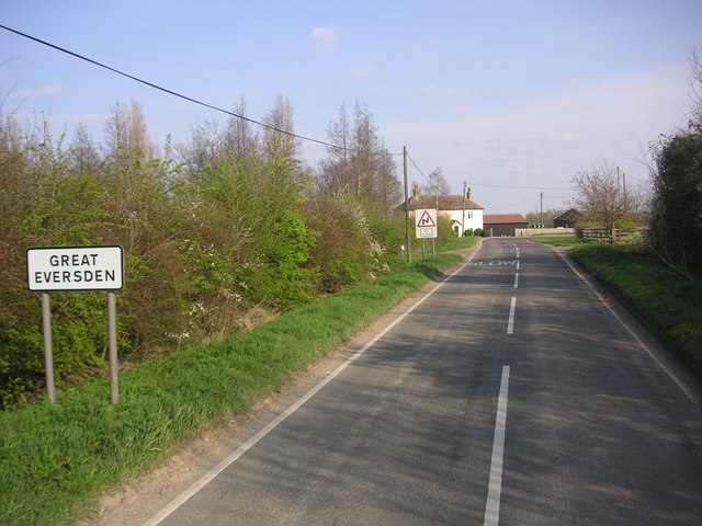
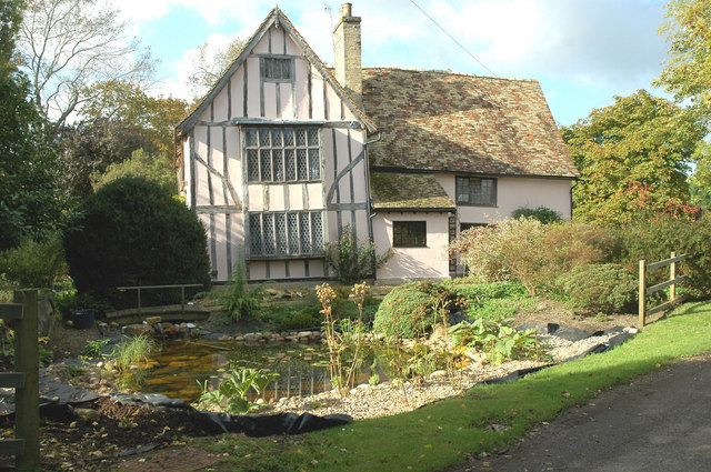
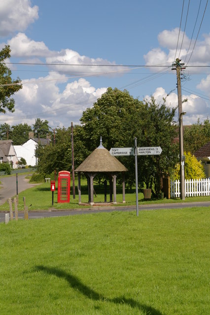
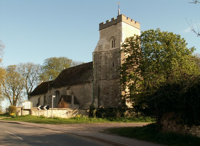
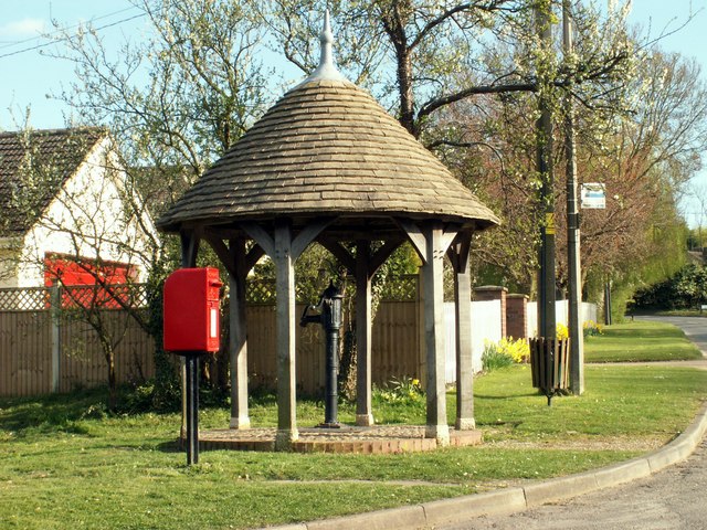
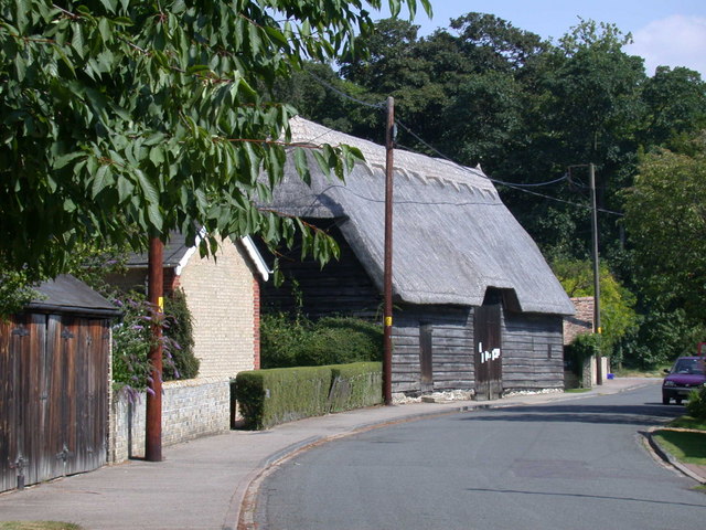
Claypit Hill Images
Images are sourced within 2km of 52.172703/-0.016586807 or Grid Reference TL3554. Thanks to Geograph Open Source API. All images are credited.


Claypit Hill is located at Grid Ref: TL3554 (Lat: 52.172703, Lng: -0.016586807)
Administrative County: Cambridgeshire
District: South Cambridgeshire
Police Authority: Cambridgeshire
What 3 Words
///punctured.unrated.cotton. Near Comberton, Cambridgeshire
Nearby Locations
Related Wikis
Great Eversden
Great Eversden is a village 6 miles south-west of Cambridge, England. The population of the civil parish at the 2011 Census was 241. The Prime Meridian...
Kingston, Cambridgeshire
Kingston is a small village and parish in the East of England region and the county Cambridgeshire in the United Kingdom. Situated 7 miles to the west...
Little Eversden
Little Eversden is a village approximately 7 miles (11 km) south-west of Cambridge, England. It has two main roads: Harlton Road which goes through Little...
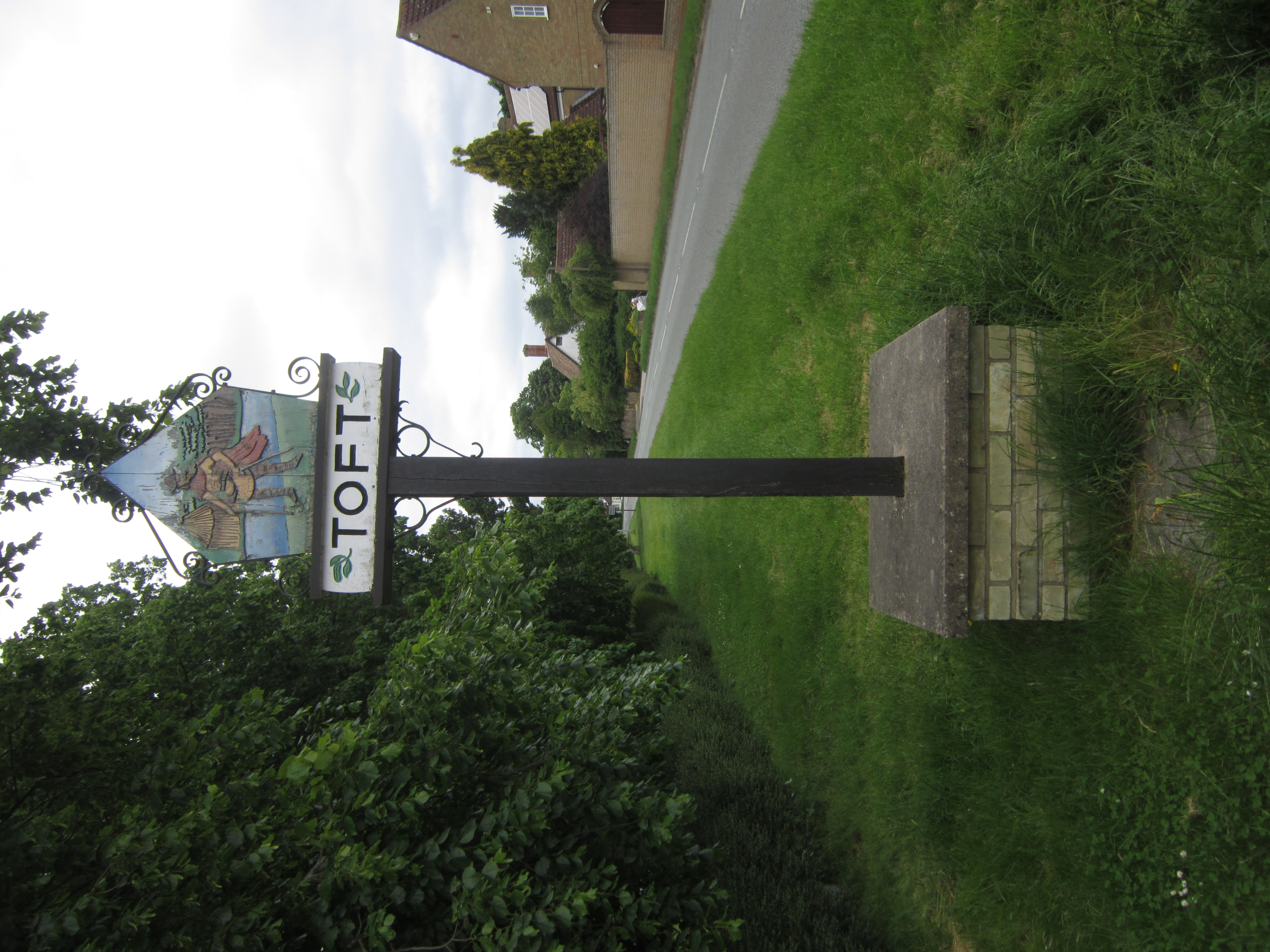
Toft, Cambridgeshire
Toft is a village situated in Cambridgeshire, England. It is approximately six miles to the west of Cambridge, and is situated within four miles of the...
Kingston and Bourn Old Railway
Kingston and Bourn Old Railway or Kingston Amenity Area is a linear 1.9-hectare (4.7-acre) Local Nature Reserve between Kingston and Bourn in Cambridgeshire...

Comberton Village College
Comberton Village College is an 11–18 mixed secondary school and sixth form with academy status on the edge of Comberton village in Cambridge, Cambridgeshire...
Hardwick Wood
Hardwick Wood is a 15.5-hectare (38-acre) biological Site of Special Scientific Interest southwest of Hardwick in Cambridgeshire. It is managed by the...
Caldecote, South Cambridgeshire
Caldecote is a village and civil parish in Cambridgeshire, in the district of South Cambridgeshire, England. It lies south of the A428, approximately six...
Nearby Amenities
Located within 500m of 52.172703,-0.016586807Have you been to Claypit Hill?
Leave your review of Claypit Hill below (or comments, questions and feedback).