Claypit Hill

Settlement in Cambridgeshire South Cambridgeshire

England

Claypit Hill

Kingston church
Kingston church Credit: mym

Claypit Hill is a small village located in the county of Cambridgeshire, England. It is situated approximately 8 miles southwest of the city of Cambridge, and falls within the administrative district of South Cambridgeshire. The village is nestled in a picturesque rural setting, surrounded by rolling hills and picturesque countryside.

The origins of Claypit Hill can be traced back to medieval times, and its name is derived from the clay pits that were once a prominent feature of the area. These clay pits were used for the extraction of clay for various purposes, including pottery and brick making.

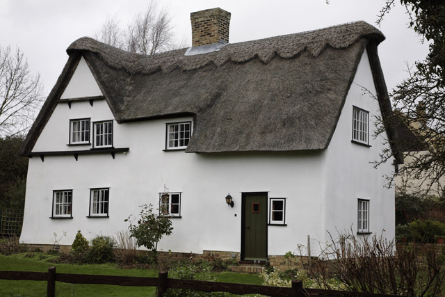
Today, Claypit Hill retains its rural charm and tranquility. It is a close-knit community, with a small population of around 200 residents. The village is primarily made up of traditional, quaint cottages and farmhouses, giving it a timeless appeal.

Although Claypit Hill does not have its own school or major amenities, it benefits from its close proximity to nearby towns and villages, such as Cambridge and the market town of St Neots. This allows residents to access a wider range of services and facilities, including schools, shops, and healthcare.

The surrounding countryside offers ample opportunities for outdoor activities, such as hiking, cycling, and horse riding. The village is also well-connected by public transport, with regular bus services to nearby towns and villages.

In summary, Claypit Hill is a charming and idyllic village in Cambridgeshire, offering a peaceful retreat for its residents amidst the beautiful English countryside.

If you have any feedback on the listing, please let us know in the comments section below.
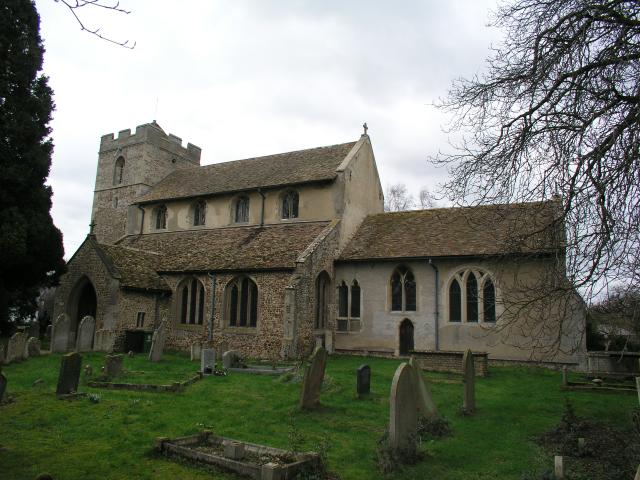
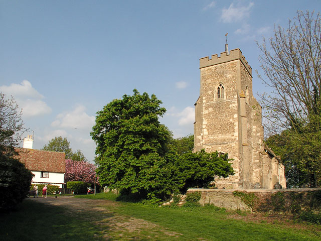
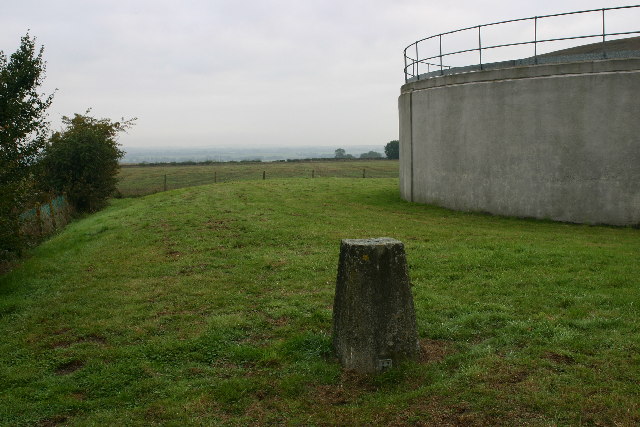
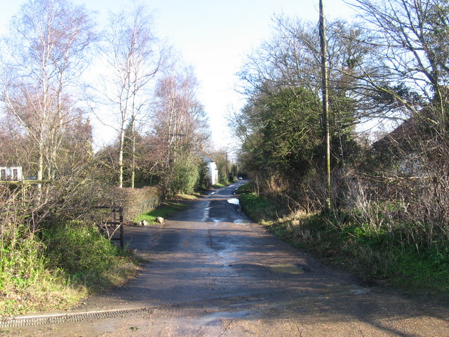
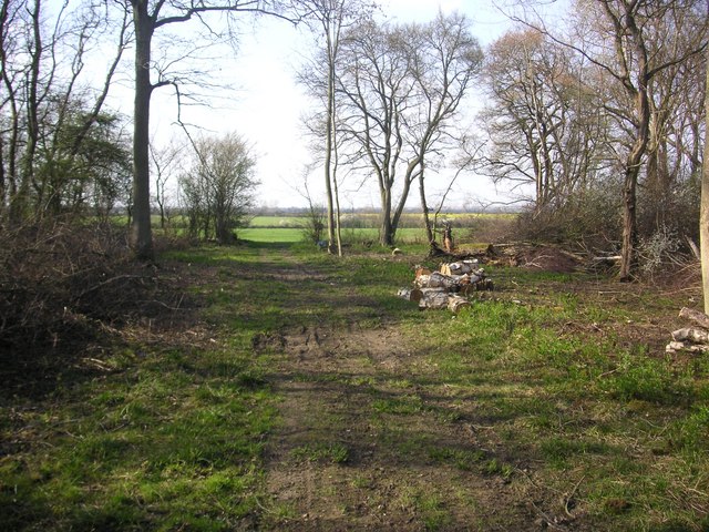
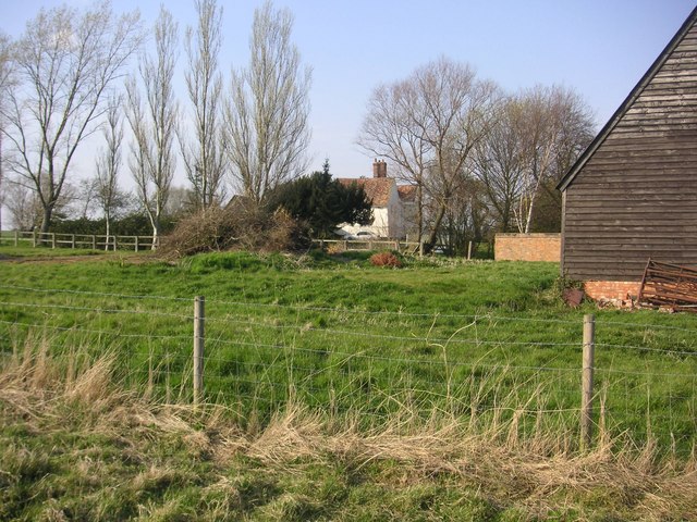
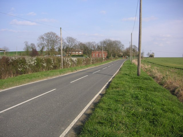
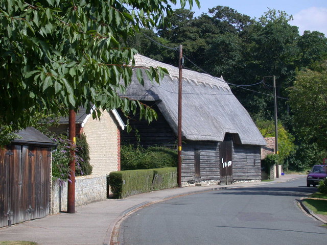
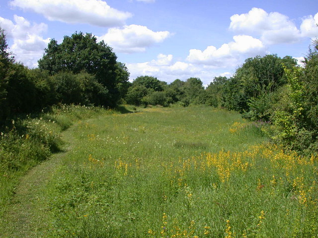
Claypit Hill Images

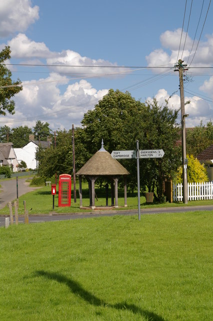
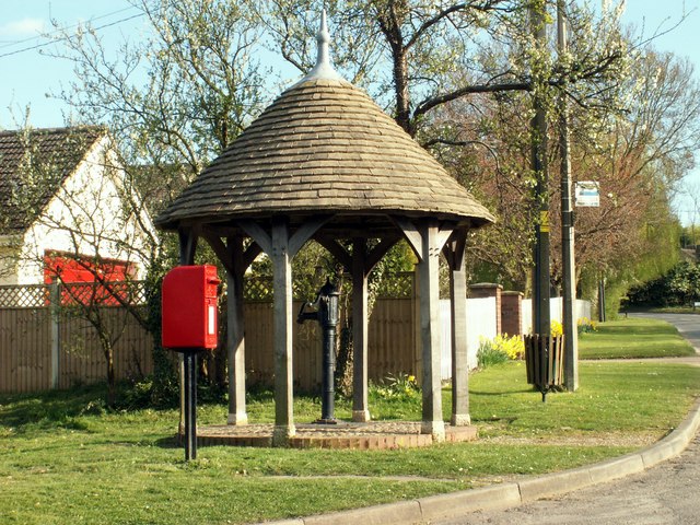
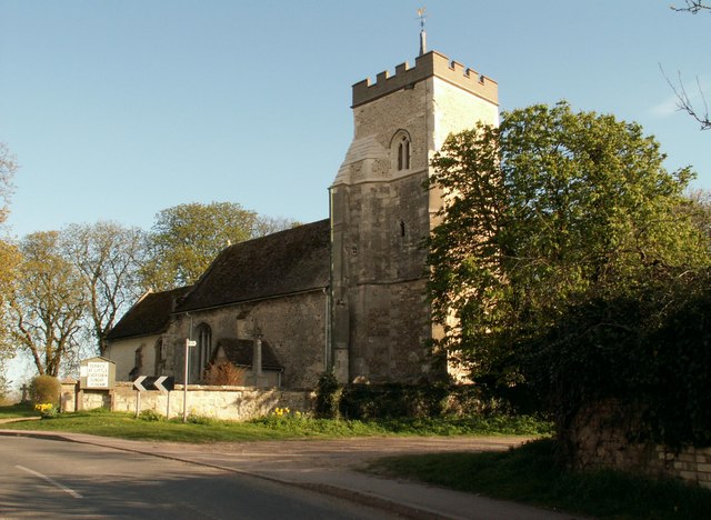
Images are sourced within 2km of 52.167761/-0.0275106 or Grid Reference TL3554. Thanks to Geograph Open Source API. All images are credited.

Kingston church
Kingston church
Great Eversden, St Mary <span class="nowrap"><a title="http://www.druidic.org/camchurch/churches/gteversden.htm" rel="nofollow ugc noopener" href="http://www.druidic.org/camchurch/churches/gteversden.htm">Link</a><img style="margin-left:2px;" alt="External link" title="External link - shift click to open in new window" src="https://s1.geograph.org.uk/img/external.png" width="10" height="10"/></span>
Great Eversden, St Mary
Overlooking Rectory Farm Taken from a ridge footpath in front of a wood labelled 'The Gloucesters'.
Overlooking Rectory Farm
Taken from a ridge footpath in front of a wood labelled 'The Gloucesters'.
New Farm trig looking towards Great Eversden Trig is in a reservoir compound.
New Farm trig looking towards Great Eversden
Trig is in a reservoir compound.
Bridleway leading north from New Farm
Cottage, Toft, Cambridgeshire
Crane's Lane, Kingston
Harcamlow Way Southwest of Kingston Poplars and waymarking on Harcamlow Way (or Wimpole Way) facing northwest.
Harcamlow Way Southwest of Kingston
Poplars and waymarking on Harcamlow Way (or Wimpole Way) facing northwest.
Eversden Wood Eversden Wood
Eversden Wood
Eversden Wood
Manor Farm in Great Eversden Manor Farm in Great Eversden, photograph made from public footpath to bird reserve.
Manor Farm in Great Eversden
Manor Farm in Great Eversden, photograph made from public footpath to bird reserve.
Buildings near Claypit Hill Photograph was shot from east of Brook Cottage
Buildings near Claypit Hill
Photograph was shot from east of Brook Cottage
Red House Farm at the West Entry of Great Eversden
The crossroads in Kingston
Railway bridge, soon to be dismantled This bridge ran over a railway which has long since been dismantled.  The bridge is one of a pair due to be removed in late July/early August 2007, as it is dangerous.
Railway bridge, soon to be dismantled
This bridge ran over a railway which has long since been dismantled. The bridge is one of a pair due to be removed in late July/early August 2007, as it is dangerous.
Soon to be dismantled railway bridge
Soon to be dismantled railway bridge near Toft This bridge once ran over a railway that has long since been dismantled.  It is in a state of poor repair and has been condemned as it is dangerous.  Removal will commence on July 27, 2007.
Soon to be dismantled railway bridge near Toft
This bridge once ran over a railway that has long since been dismantled. It is in a state of poor repair and has been condemned as it is dangerous. Removal will commence on July 27, 2007.
Soon to be dismantled railway bridge
Close-up of thistles with railway bridge in background
Show me another place!

Claypit Hill is located at Grid Ref: TL3554 (Lat: 52.167761, Lng: -0.0275106)

Administrative County: Cambridgeshire

District: South Cambridgeshire

Police Authority: Cambridgeshire

What 3 Words

///dots.highlight.duty. Near Comberton, Cambridgeshire

Nearby Locations

Claypit Hill Claypit Hill

Related Wikis

Kingston, Cambridgeshire

Kingston is a small village and parish in the East of England region and the county Cambridgeshire in the United Kingdom. Situated 7 miles to the west...
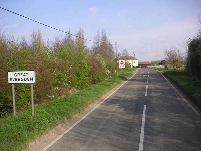
Great Eversden

Great Eversden is a village 6 miles south-west of Cambridge, England. The population of the civil parish at the 2011 Census was 241. The Prime Meridian...

Little Eversden

Little Eversden is a village approximately 7 miles (11 km) south-west of Cambridge, England. It has two main roads: Harlton Road which goes through Little...

Kingston and Bourn Old Railway

Kingston and Bourn Old Railway or Kingston Amenity Area is a linear 1.9-hectare (4.7-acre) Local Nature Reserve between Kingston and Bourn in Cambridgeshire...

Have you been to Claypit Hill?

Leave your review of Claypit Hill below (or comments, questions and feedback).