Clayland
Settlement in Stirlingshire
Scotland
Clayland
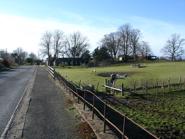
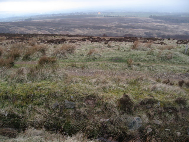
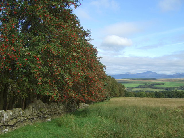
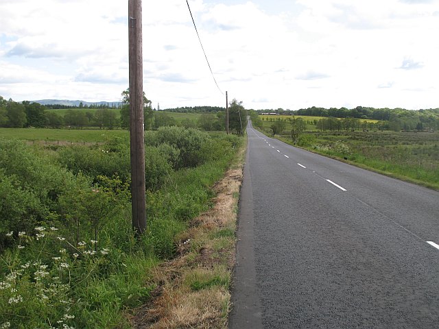
Clayland is a small village located in the county of Stirlingshire, in central Scotland. It is situated approximately 4 miles north of the town of Falkirk and is nestled within the picturesque countryside of the region. The village is surrounded by rolling hills and farmland, providing residents with a scenic and tranquil environment.
Clayland has a population of around 500 people, making it a close-knit and community-oriented village. The village is primarily residential, with a mix of traditional stone-built cottages and more modern houses. The architecture reflects the village's rich history, with some buildings dating back several centuries.
Despite its small size, Clayland has a strong sense of community and offers a range of amenities to its residents. These include a local primary school, a village hall, and a small convenience store. The village is also well-connected to nearby towns and cities, with regular bus services and easy access to major road networks.
The surrounding area offers plenty of opportunities for outdoor activities, with several walking and cycling trails passing through the village. Clayland is also located near the iconic Falkirk Wheel, a rotating boat lift that connects the Forth and Clyde Canal with the Union Canal, attracting tourists from near and far.
In summary, Clayland is a charming rural village in Stirlingshire, Scotland. With its beautiful countryside, strong community spirit, and convenient amenities, it offers a peaceful and idyllic place to call home.
If you have any feedback on the listing, please let us know in the comments section below.
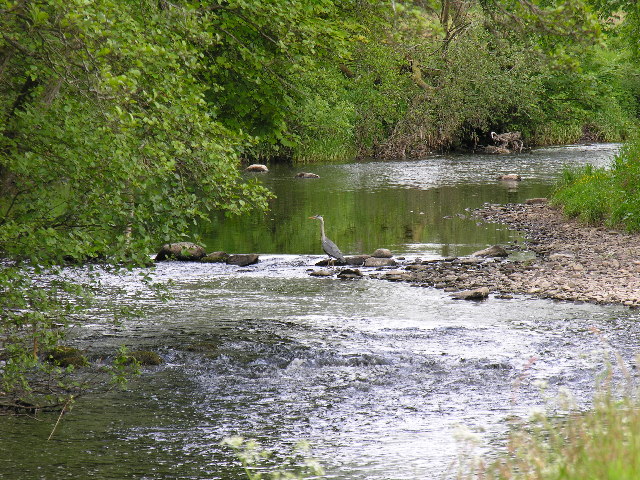
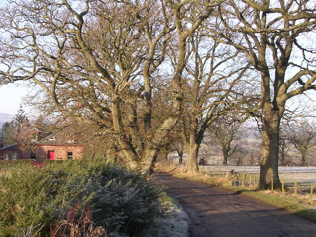
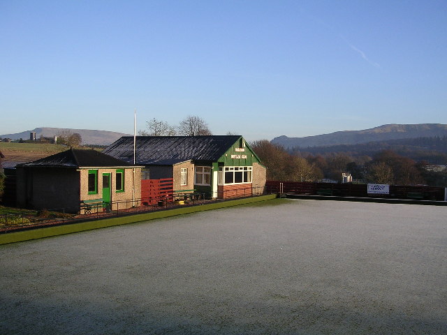
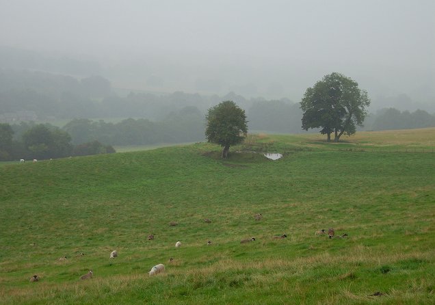
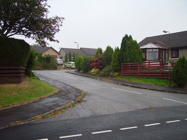
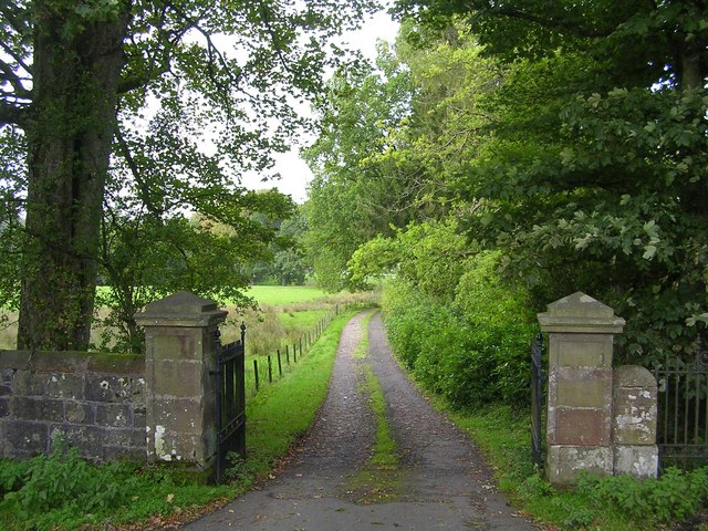
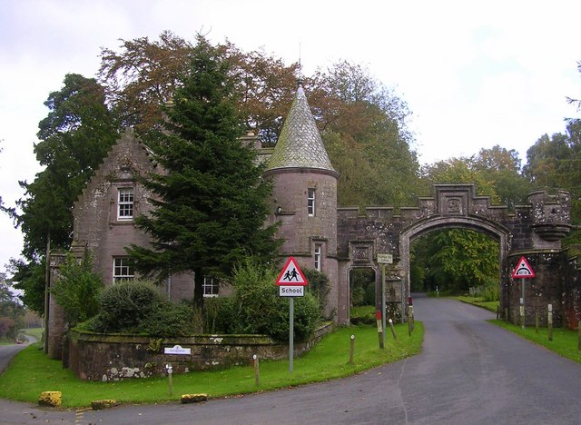
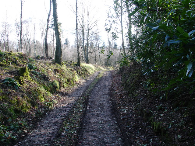
Clayland Images
Images are sourced within 2km of 56.053822/-4.3299075 or Grid Reference NS5587. Thanks to Geograph Open Source API. All images are credited.


Clayland is located at Grid Ref: NS5587 (Lat: 56.053822, Lng: -4.3299075)
Unitary Authority: Stirling
Police Authority: Forth Valley
What 3 Words
///regrowth.exile.remix. Near Balfron, Stirling
Nearby Locations
Related Wikis

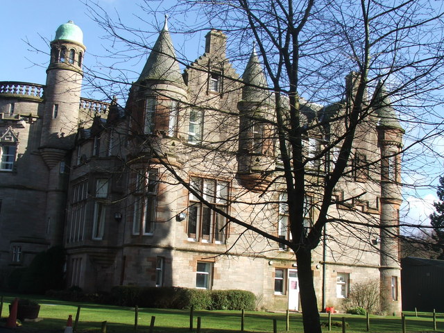
Ballikinrain
Ballikinrain is an independent residential school in Stirling, central Scotland. It is run by CrossReach, a social care outreach arm of the Church of Scotland...

Boquhan
Boquhan (pronounced Bowhan) is a hamlet in Stirling, Scotland, sometimes known as Wester Boquhan to distinguish it from the other nearby Boquhan, near...

Balfron
Balfron (Scottish Gaelic: Both Fron) is a village in the Stirling council area of Scotland. It is situated near Endrick Water on the A875 road, 18 miles...

Balfron High School
Balfron High School is a secondary school situated in the village of Balfron, approximately 18 miles (29 km) west of Stirling and 16 miles (26 km) north...

Killearn
Killearn (Scottish Gaelic: Cill Fhearann, from orig. Ceann Fhearann, "Head/End of (the) Land/Territory" – until the 15th century when Ceann was replaced...

Balfron railway station
Balfron railway station was a railway station that served the village of Balfron in Scotland. The station was served by trains on the Strathendrick and...

Earl's Seat
Earl's Seat (578 m) is the highest hill of the Campsie Fells in Central Scotland. It lies on the border of Stirlingshire and East Dunbartonshire in central...
A81 road
The A81 road is a major road in Scotland. It runs from Glasgow to Callander via Woodside and Maryhill within the city, as well as Bearsden, Milngavie and...
Nearby Amenities
Located within 500m of 56.053822,-4.3299075Have you been to Clayland?
Leave your review of Clayland below (or comments, questions and feedback).