Clayholes
Settlement in Angus
Scotland
Clayholes

Clayholes is a small village located in the county of Angus, Scotland. Situated near the town of Forfar, it is nestled in the picturesque countryside of the region. With a population of around 300 residents, Clayholes offers a rural and tranquil setting for its inhabitants.
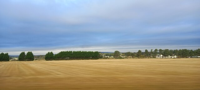
The village is known for its charming and traditional architecture, with many buildings dating back several centuries. The local economy is primarily based on agriculture, with farming and livestock being the main sources of income for the community. The surrounding landscape is dominated by green fields, rolling hills, and patches of woodland, providing a scenic backdrop to the village.
Despite its small size, Clayholes boasts a strong sense of community spirit. The residents often come together to organize various events and activities, such as village fairs, fundraisers, and community gatherings. The village also has a primary school that serves the local children, ensuring a close-knit and supportive environment for families.
For those seeking outdoor adventures, Clayholes offers easy access to the Angus Glens, a stunning area of natural beauty known for its hiking trails, wildlife, and breathtaking scenery. Additionally, the coastal town of Arbroath is just a short drive away, providing residents with the opportunity to enjoy seaside activities and attractions.
In conclusion, Clayholes is a peaceful and idyllic village in Angus, Scotland. With its rural charm, strong community ties, and proximity to both natural landscapes and urban amenities, it offers a desirable lifestyle for its residents.
If you have any feedback on the listing, please let us know in the comments section below.
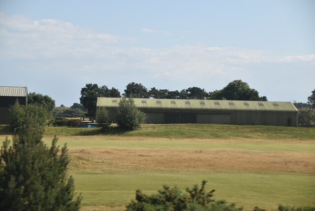
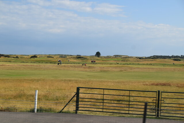
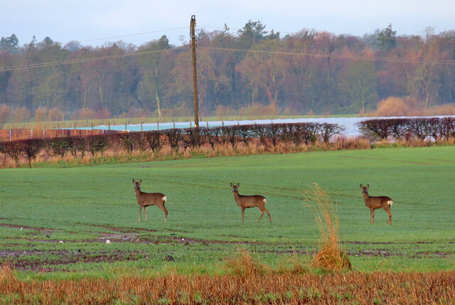
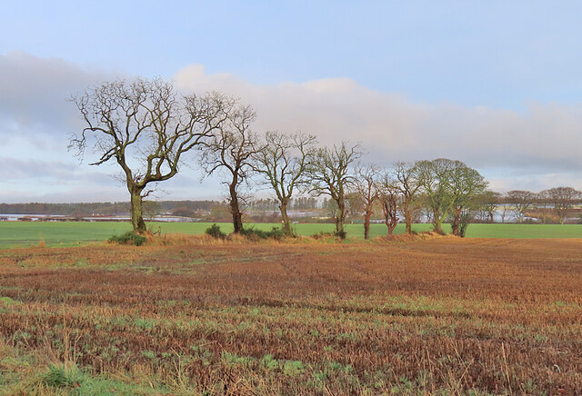
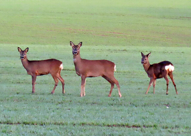
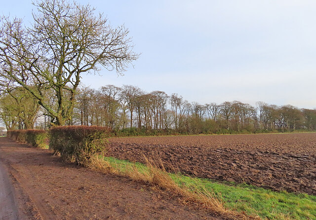
Clayholes Images
Images are sourced within 2km of 56.504903/-2.7326753 or Grid Reference NO5535. Thanks to Geograph Open Source API. All images are credited.


Clayholes is located at Grid Ref: NO5535 (Lat: 56.504903, Lng: -2.7326753)
Unitary Authority: Angus
Police Authority: Tayside
What 3 Words
///scrolled.lifts.probably. Near Carnoustie, Angus
Nearby Locations
Related Wikis

Carnoustie Panmure F.C.
Carnoustie Panmure Football Club are a Scottish Junior football club from the town of Carnoustie, Angus. They currently compete in the SJFA Midlands League...
Carnoustie High School
Carnoustie High School is a comprehensive secondary school in Carnoustie, Angus, Scotland. Situated to the north of the town, the school serves Carnoustie...
Hunter's Town, Angus
Hunter's Town was a hamlet that once existed in Angus, Scotland, between Barry and Carnoustie. Urban growth in the latter part of the nineteenth century...

Clayholes
Clayholes is a small hamlet in Angus, Scotland. It lies approximately 0.5 kilometres (0.31 mi) north of Carnoustie on the unclassified Balmachie road,...
Gardynebourg
Gardynebourg was a hamlet that once existed in Angus, Scotland, between Barry and Carnoustie. Urban growth in the latter part of the nineteenth century...
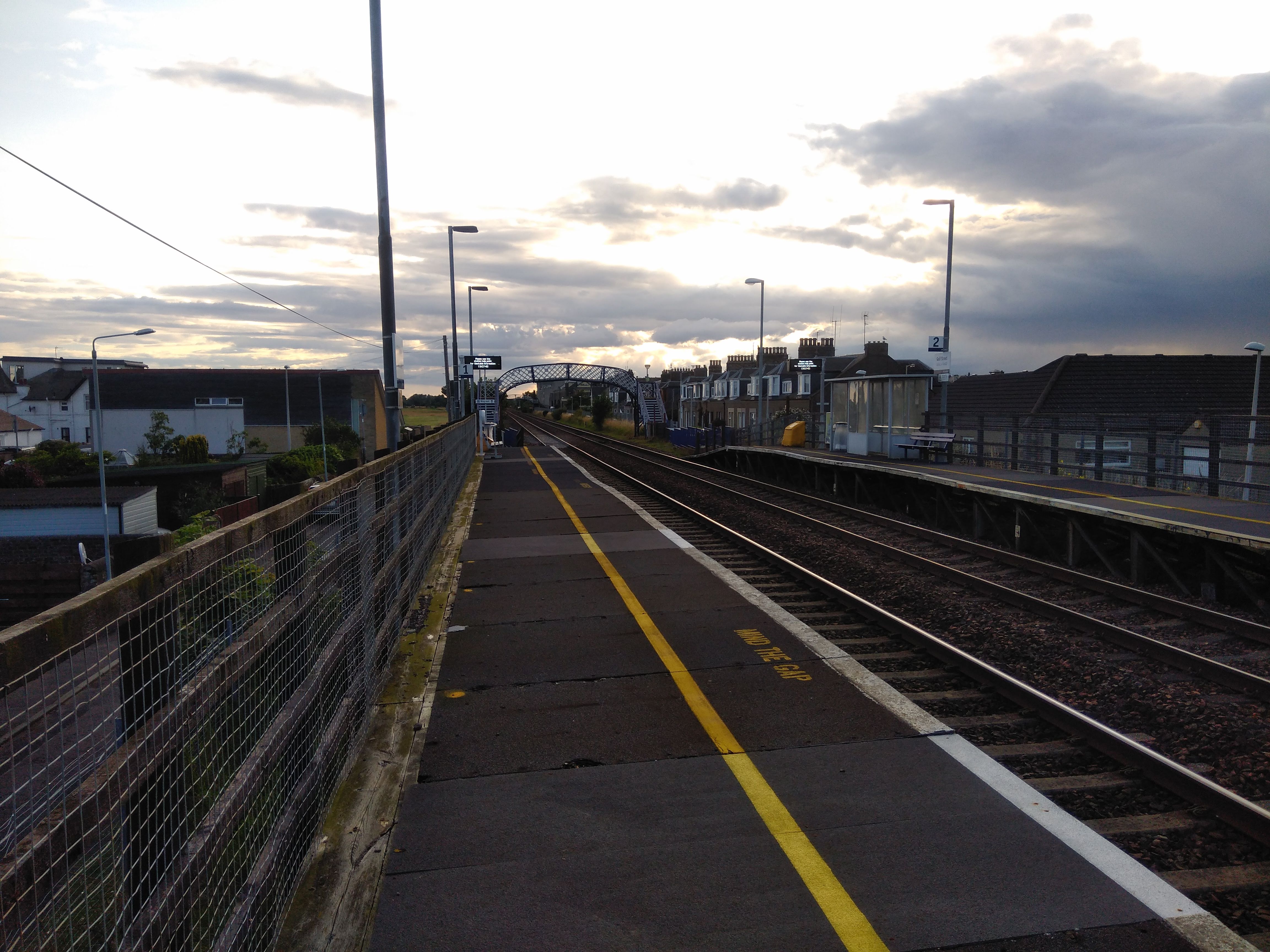
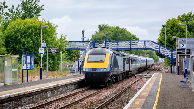
Golf Street railway station
Golf Street railway station is located on Golf Street in Carnoustie, Angus, Scotland, and serves the town's central areas. It is sited 9 miles 70 chains...
Carlogie
Carlogie is a hamlet in Angus, Scotland. It lies approximately half a mile north of Carnoustie on the A930 road. Carlogie House was erected in 1854 as...
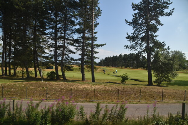
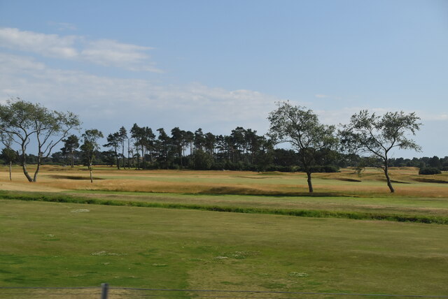
1975 Open Championship
The 1975 Open Championship was the 104th Open Championship, played 9–13 July at Carnoustie Golf Links in Scotland. In his first Open, Tom Watson won an...
Nearby Amenities
Located within 500m of 56.504903,-2.7326753Have you been to Clayholes?
Leave your review of Clayholes below (or comments, questions and feedback).