Anderson Hill
Hill, Mountain in Lincolnshire East Lindsey
England
Anderson Hill
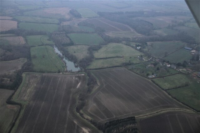
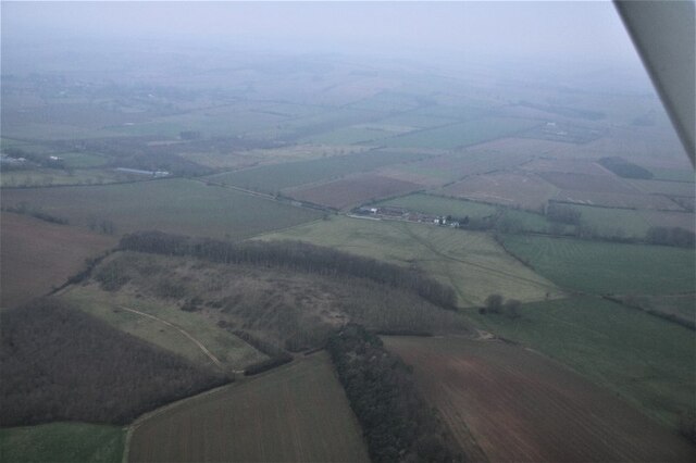
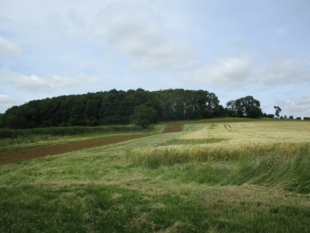
Anderson Hill is a prominent geographical feature located in the county of Lincolnshire, England. Despite its name, it is not a true hill or mountain, but rather a gently sloping elevated area that offers panoramic views of the surrounding countryside. Situated in the southern part of the county, Anderson Hill is part of the Lincolnshire Wolds, an Area of Outstanding Natural Beauty.
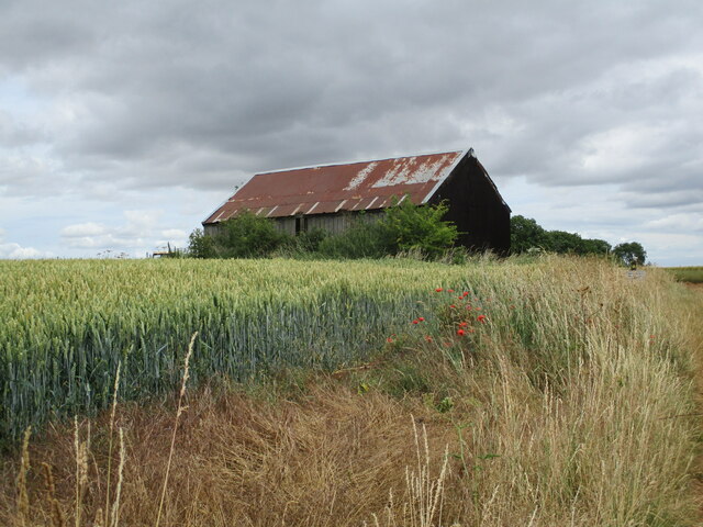
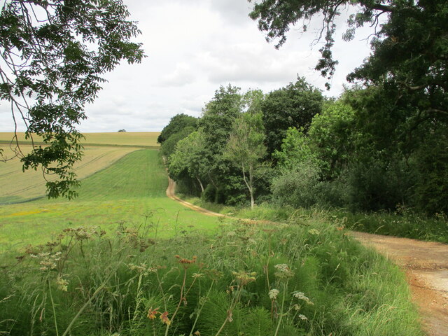
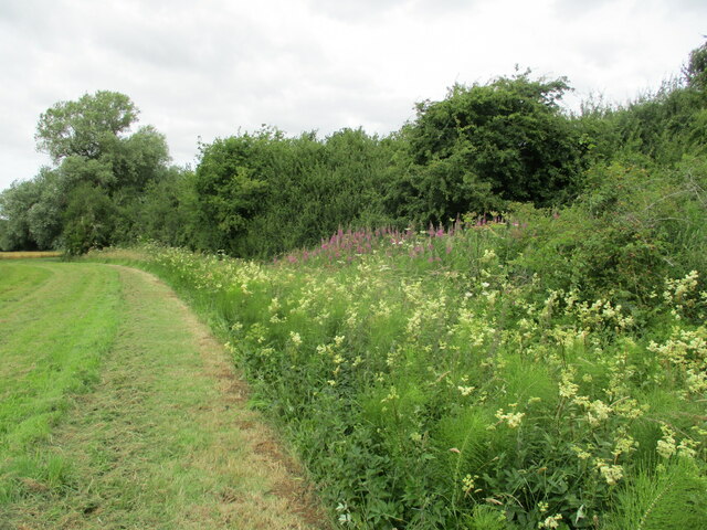
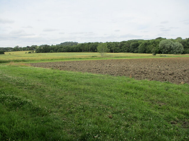
Covered in lush green vegetation, Anderson Hill is a popular destination for nature enthusiasts and hikers. The hill is predominantly made up of chalk and limestone, which gives rise to a diverse range of flora and fauna. The area is home to several rare and protected species, making it an important site for conservation efforts.
At its highest point, Anderson Hill reaches an elevation of approximately 100 meters, providing visitors with breathtaking vistas of the Lincolnshire Wolds and beyond. On clear days, it is possible to see as far as the North Sea coast, as well as other prominent landmarks such as Lincoln Cathedral.
The hill also holds historical significance, with evidence of Iron Age settlements and burial mounds discovered in the vicinity. These archaeological remnants add further intrigue to the area, attracting history enthusiasts keen to explore the region's past.
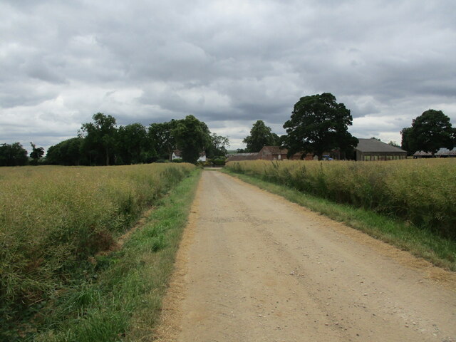
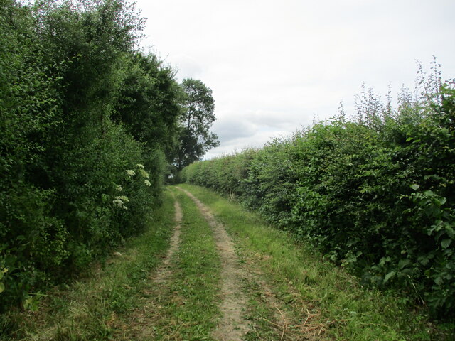
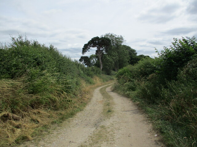
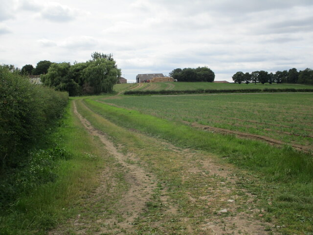
Anderson Hill is easily accessible, with several footpaths and trails leading to its summit. The surrounding countryside offers ample parking and picnic spots, allowing visitors to fully immerse themselves in the beauty of the landscape. Whether it is for leisurely walks, wildlife spotting, or simply enjoying the tranquility of nature, Anderson Hill provides a captivating experience for all who visit.
If you have any feedback on the listing, please let us know in the comments section below.
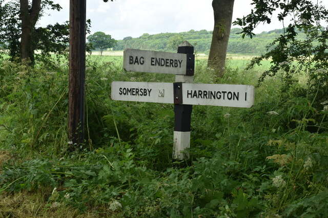
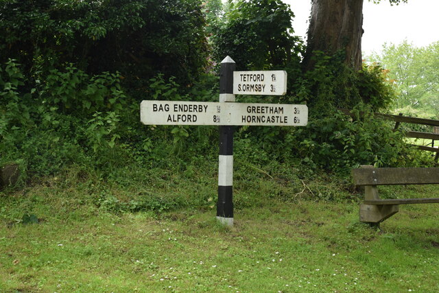
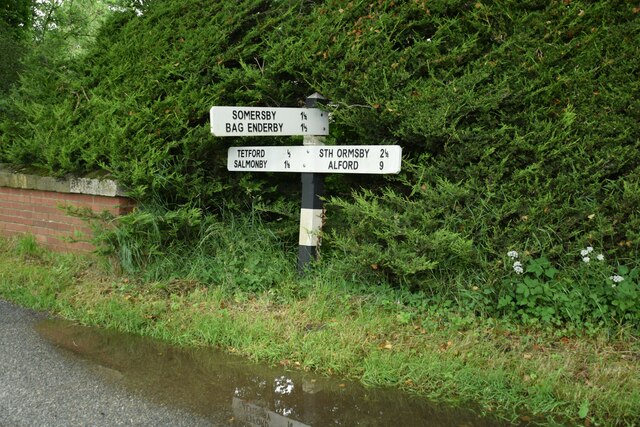
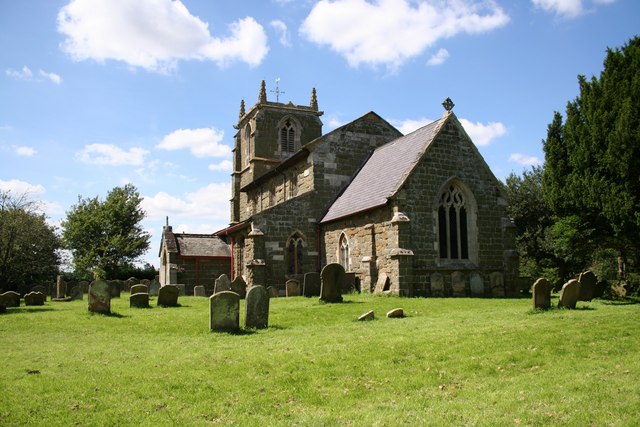
Anderson Hill Images
Images are sourced within 2km of 53.238255/0.022683298 or Grid Reference TF3573. Thanks to Geograph Open Source API. All images are credited.


Anderson Hill is located at Grid Ref: TF3573 (Lat: 53.238255, Lng: 0.022683298)
Administrative County: Lincolnshire
District: East Lindsey
Police Authority: Lincolnshire
What 3 Words
///bombshell.fellow.mount. Near Burwell, Lincolnshire
Nearby Locations
Related Wikis

Somersby, Lincolnshire
Somersby is a village in the civil parish of Greetham with Somersby, in the East Lindsey district of Lincolnshire, England. It is situated 6 miles (9.7...
Somersby Grange
Somersby Grange is a Grade I listed Georgian country house in Somersby, Lincolnshire.The house was built in 1722 for Robert Burton, the local lord of the...

Harrington, Lincolnshire
Harrington is a hamlet and civil parish in the East Lindsey district of Lincolnshire, England. It is situated 6 miles (10 km) south-west from Alford, and...

Brinkhill
Brinkhill is a village and civil parish in the East Lindsey district of Lincolnshire, England. It is situated approximately 5 miles (8 km) west from the...
Bag Enderby
Bag Enderby is a village and former civil parish, now in the parish of Greetham with Somersby, in the East Lindsey district of Lincolnshire, England. It...

Salmonby
Salmonby is a village in the civil parish of Tetford, in the East Lindsey district of Lincolnshire, England. It is situated 5.5 miles (8.9 km) north-east...
Tetford
Tetford is a village and civil parish in the East Lindsey district of Lincolnshire, England. == History == Tetford is listed as "Tesforde" in the Domesday...

Greetham with Somersby
Greetham with Somersby is a civil parish in the East Lindsey district of Lincolnshire, England. It is situated approximately 3 miles (5 km) north-east...
Nearby Amenities
Located within 500m of 53.238255,0.022683298Have you been to Anderson Hill?
Leave your review of Anderson Hill below (or comments, questions and feedback).