East Hill
Hill, Mountain in Sussex Mid Sussex
England
East Hill
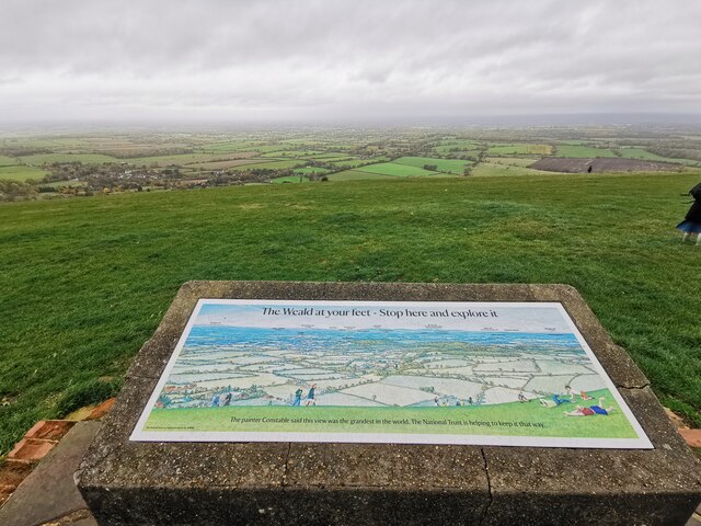
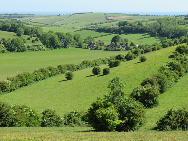
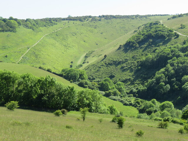
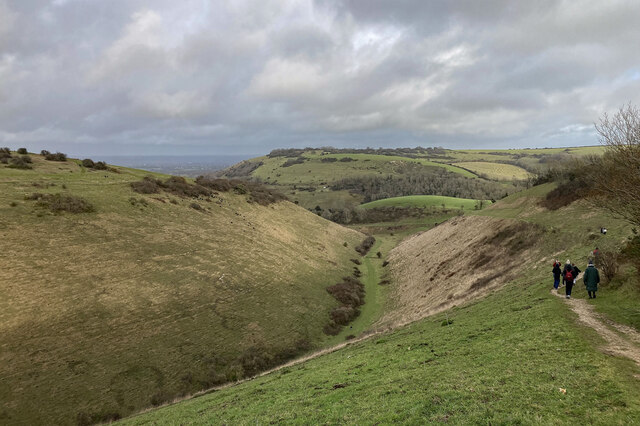
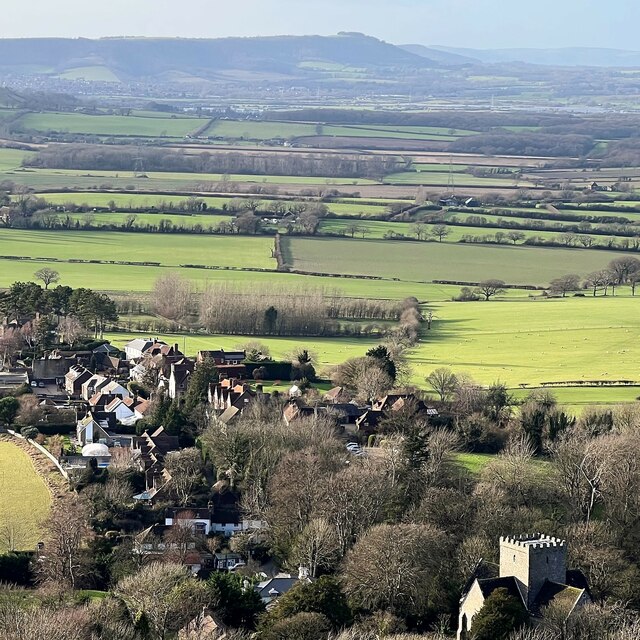
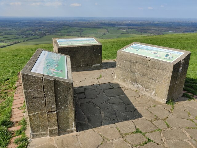
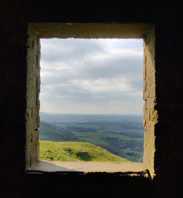
East Hill is a prominent hill located in the county of Sussex, England. It forms part of the larger East Sussex Downs, a range of hills that stretches across the southern coast of England. With an elevation of approximately 196 meters (643 feet), East Hill offers stunning panoramic views of the surrounding countryside and the English Channel.
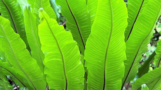
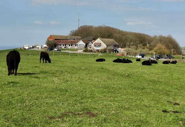
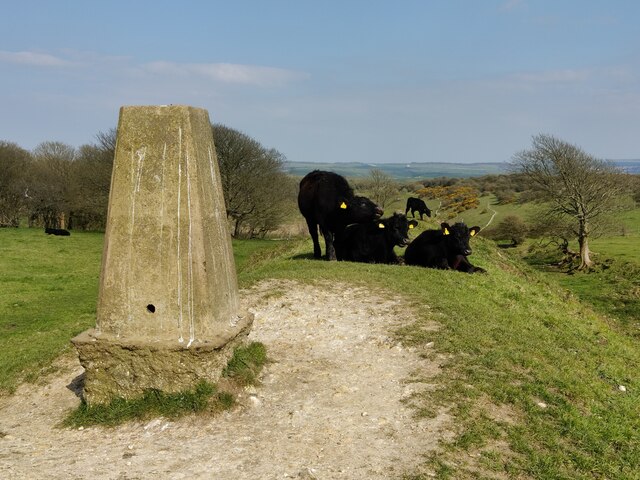
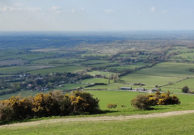
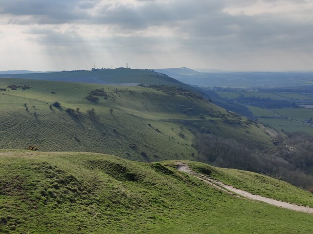
The hill is known for its rich natural beauty, characterized by rolling green slopes and a diverse range of flora and fauna. It is particularly renowned for its vibrant display of wildflowers during the spring and summer months. The hilltop is predominantly covered in grassland, interspersed with patches of woodland and hedgerows.
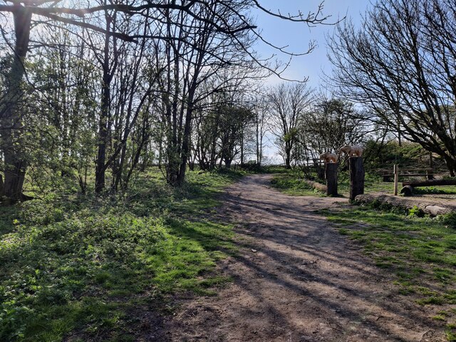
East Hill is a popular destination for outdoor enthusiasts and nature lovers. It offers a variety of walking and hiking trails that cater to different fitness levels, allowing visitors to explore the hill at their own pace. The South Downs Way, a long-distance footpath, passes through the area, attracting hikers from far and wide.
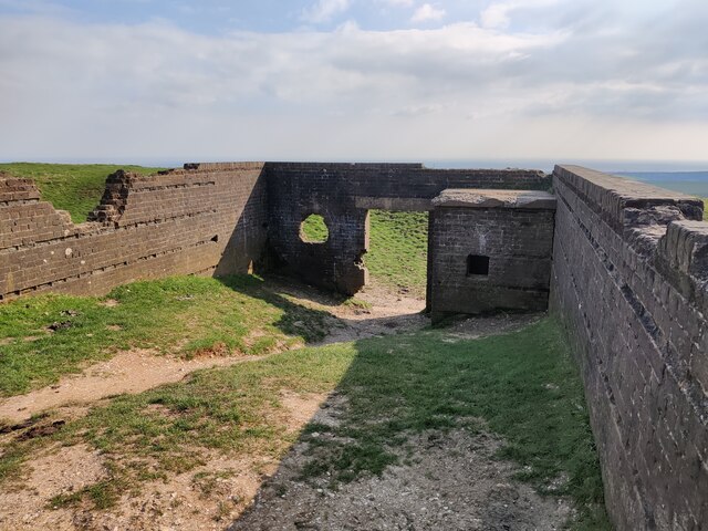
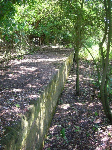
In addition to its natural attractions, East Hill is also home to several historical landmarks. At the summit, an Iron Age hillfort can be found, providing insight into the region's ancient past. The hill also boasts an array of archaeological remains, including burial mounds and earthworks.
Overall, East Hill is a picturesque and culturally significant hill in Sussex, offering a blend of natural beauty and historical intrigue. Whether it's for a leisurely stroll, a challenging hike, or a glimpse into the region's history, East Hill has something to offer for everyone.
If you have any feedback on the listing, please let us know in the comments section below.
East Hill Images
Images are sourced within 2km of 50.888154/-0.19874249 or Grid Reference TQ2611. Thanks to Geograph Open Source API. All images are credited.
East Hill is located at Grid Ref: TQ2611 (Lat: 50.888154, Lng: -0.19874249)
Administrative County: West Sussex
District: Mid Sussex
Police Authority: Sussex
What 3 Words
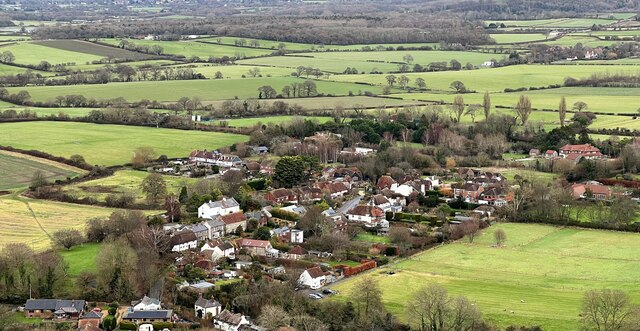
///drizzly.flag.wizard. Near Hassocks, West Sussex
Nearby Locations
Related Wikis

Saddlescombe Preceptory
Saddlescombe Preceptory was a priory in West Sussex, England. == References == == Further reading == L. F. Salzmann (1907). "Religious Houses: The Preceptory...
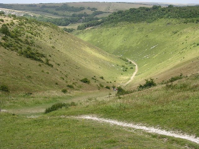
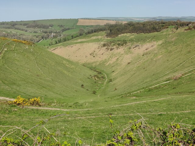
Devil's Dyke, Sussex
Devil's Dyke is a 100 metre (300') deep V-shaped dry valley on the South Downs in Sussex in southern England, 5 miles (8.0 km) north-west of Brighton....

Poynings
Poynings ( or locally ) is a village and civil parish in the Mid Sussex District of West Sussex, England. The parish lies wholly with the South Downs...
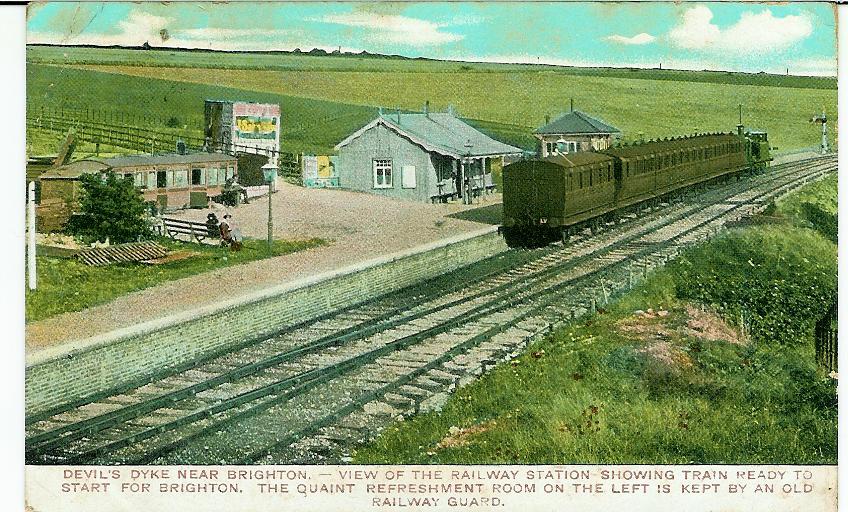
The Dyke railway station
The Dyke railway station was a railway station near Devil's Dyke in West Sussex, England which opened in 1887 and closed in 1939. == History == The Dyke...

Beeding Hill to Newtimber Hill
Beeding Hill to Newtimber Hill is a 321 ha (790-acre) biological and geological Downland Site of Special Scientific Interest (SSSI) north of Shoreham-by...

Fulking
Fulking is a village and civil parish in the Mid Sussex District of West Sussex, England. The parish lies wholly with the South Downs National Park. The...
Golf Club Halt railway station (England)
Golf Club Halt railway station, was a railway station in Hove, in East Sussex, England which opened in 1891 and closed in 1939. The station served the...

Newtimber Place
Newtimber Place is a Grade I listed building in the Mid Sussex district of West Sussex, England. The house sits on a D-shaped island in a moat. The oldest...
Nearby Amenities
Located within 500m of 50.888154,-0.19874249Have you been to East Hill?
Leave your review of East Hill below (or comments, questions and feedback).