Mill Hill
Hill, Mountain in Yorkshire
England
Mill Hill

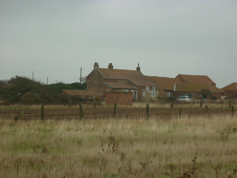
Mill Hill is a picturesque hill located in the county of Yorkshire, England. Situated in the northern region of the county, Mill Hill is part of the wider Pennine range, which is renowned for its stunning landscapes and natural beauty.
Rising to an elevation of approximately 400 meters, Mill Hill offers breathtaking panoramic views of the surrounding countryside. Its prominent position makes it a popular destination for hikers and nature enthusiasts, who are drawn to its rugged terrain and diverse flora and fauna.
The hill is characterized by its gently rolling slopes and lush greenery, with patches of heather and wildflowers dotting the landscape. It is also home to a variety of wildlife species, including rabbits, foxes, and numerous bird species, making it a haven for birdwatching enthusiasts.
Mill Hill is rich in history, with evidence of human habitation dating back thousands of years. Archaeological discoveries have uncovered ancient settlements and burial sites, shedding light on the area's fascinating past. The hill's name is believed to originate from the presence of a mill that once stood nearby, although little remains of it today.
Visitors to Mill Hill can enjoy a range of outdoor activities, including hiking, picnicking, and photography. The hill is easily accessible, with well-maintained footpaths and trails that offer different levels of difficulty to cater to all fitness levels.
Overall, Mill Hill is a captivating destination that combines natural beauty, historical significance, and outdoor recreation. Whether one seeks solitude, adventure, or a deeper connection with nature, this Yorkshire gem has something to offer to everyone.
If you have any feedback on the listing, please let us know in the comments section below.
Mill Hill Images
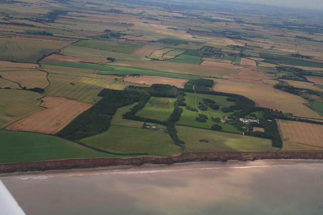
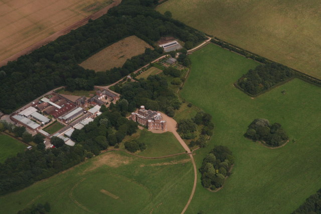
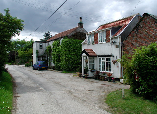
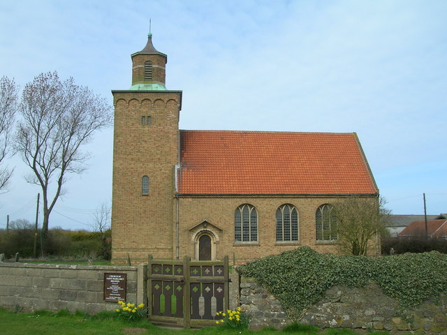
Images are sourced within 2km of 53.796143/-0.076969254 or Grid Reference TA2635. Thanks to Geograph Open Source API. All images are credited.


Mill Hill is located at Grid Ref: TA2635 (Lat: 53.796143, Lng: -0.076969254)
Division: East Riding
Unitary Authority: East Riding of Yorkshire
Police Authority: Humberside
What 3 Words
///worked.refusals.binder. Near Burton Pidsea, East Yorkshire
Nearby Locations
Related Wikis

East Garton
East Garton is a civil parish in the East Riding of Yorkshire, England. It is situated 7 miles (11 km) to the north-west of Withernsea town centre and...

Garton
Garton (or Garton in Holderness) is a village in the East Riding of Yorkshire, England, in an area known as Holderness. It is situated approximately 7...

Grimston, East Riding of Yorkshire
Grimston is a hamlet in the East Riding of Yorkshire, England, in an area known as Holderness. It is situated approximately 6 miles (9.7 km) north-west...
Fitling
Fitling is a hamlet in the civil parish of East Garton, in the East Riding of Yorkshire, England, in an area known as Holderness. It is situated approximately...

Owstwick
Owstwick is a hamlet in the civil parish of Roos, in the East Riding of Yorkshire, England, in an area known as Holderness. It is approximately 11 miles...
Hilston
Hilston is a village in the civil parish of Roos, in the East Riding of Yorkshire, England, near the North Sea coast in an area known as Holderness. It...
East Newton
East Newton is a hamlet in the civil parish of Aldbrough, in the East Riding of Yorkshire, England, in an area known as Holderness. It is situated approximately...

Danthorpe
Danthorpe is a hamlet in the civil parish of Elstronwick and the East Riding of Yorkshire, England, and in an area known as Holderness. The hamlet is approximately...
Nearby Amenities
Located within 500m of 53.796143,-0.076969254Have you been to Mill Hill?
Leave your review of Mill Hill below (or comments, questions and feedback).