Devil's Dyke
Valley in Sussex Mid Sussex
England
Devil's Dyke
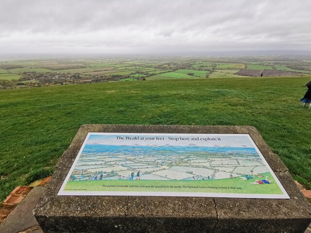
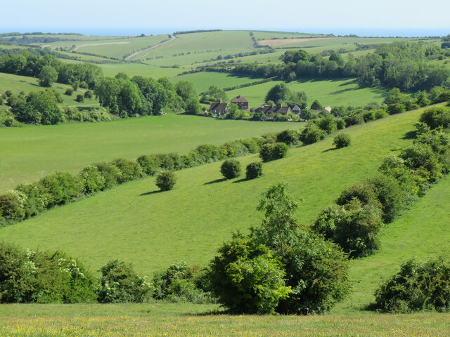
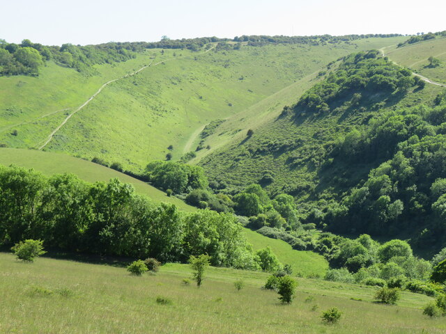
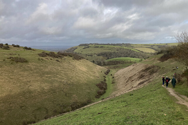
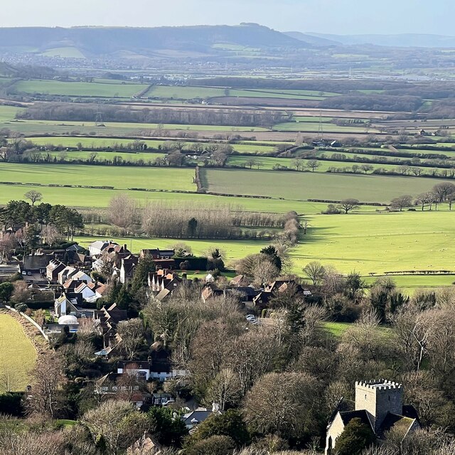
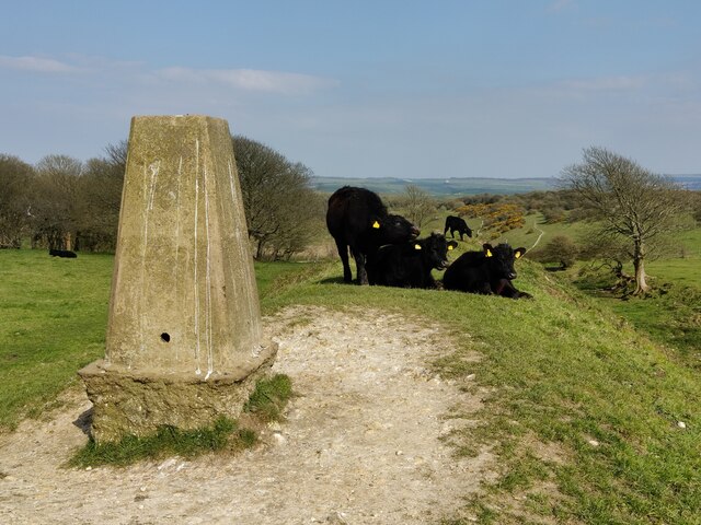
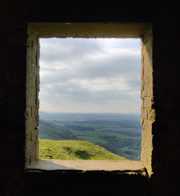
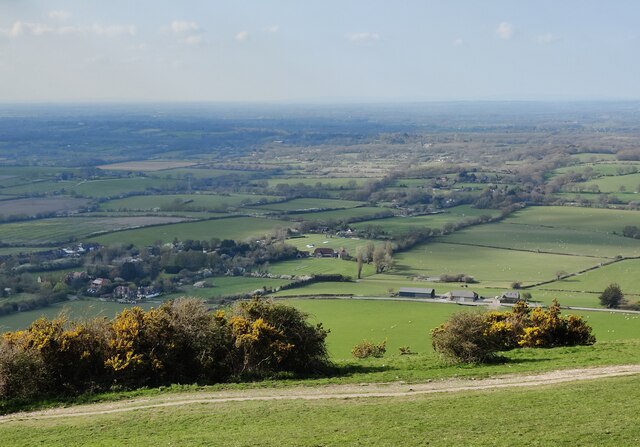
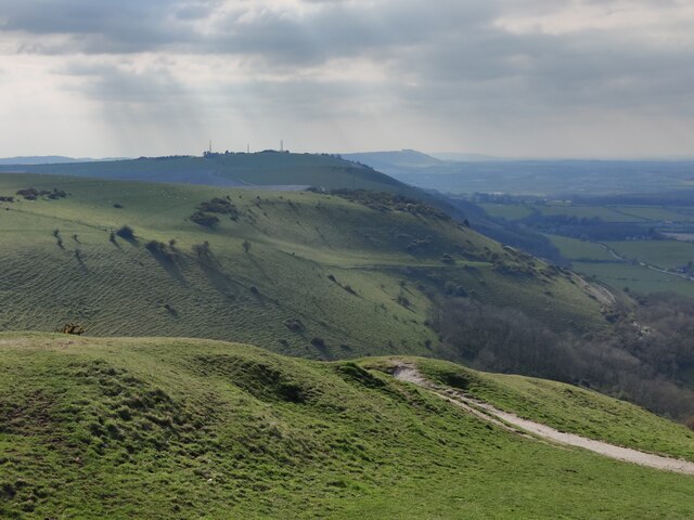
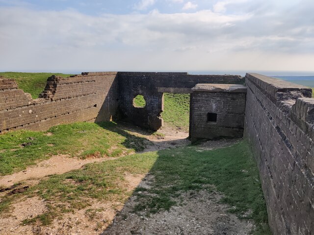
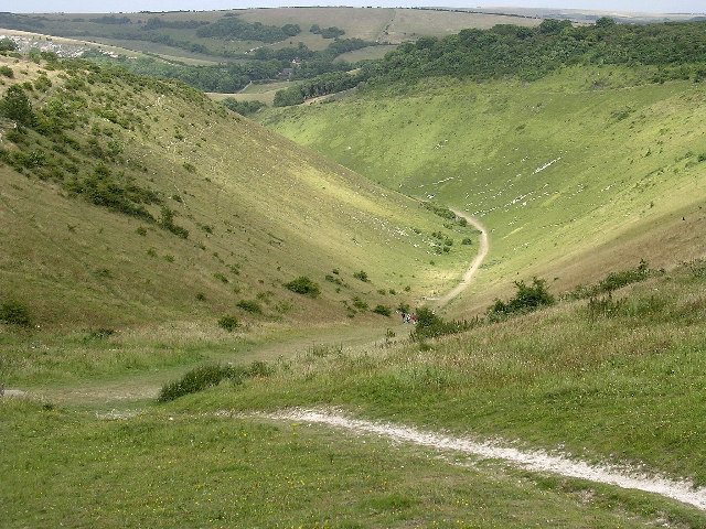
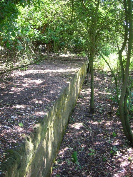
Devil's Dyke is a 100-meter-deep V-shaped valley located in the South Downs National Park, near the village of Poynings in East Sussex, England. This natural landmark stretches for about 3.2 kilometers, offering breathtaking views of the surrounding countryside.
The valley was formed during the last ice age, around 10,000 years ago, by meltwater that eroded the soft chalk hills. Its name derives from the folklore belief that the Devil dug the valley to allow the sea to flood the Weald, a low-lying area of the Sussex countryside. However, the geological explanation for its formation has since debunked this myth.
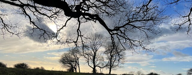
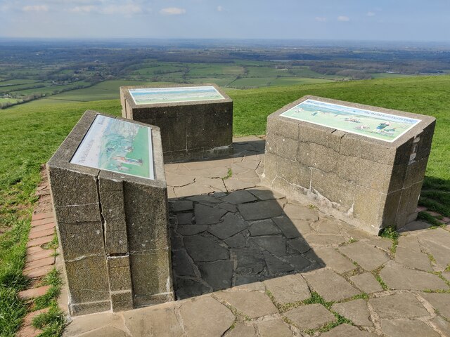
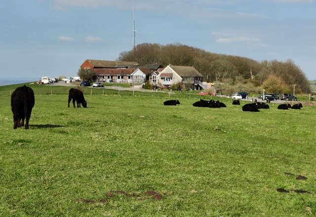
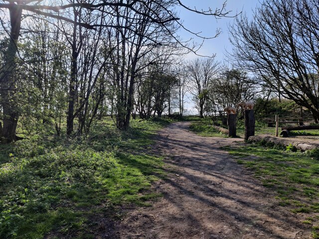
Today, Devil's Dyke is a popular tourist destination and a haven for walkers, hikers, and nature enthusiasts. The site boasts an extensive network of footpaths, making it ideal for exploring the stunning landscapes and taking in the panoramic views across the South Downs. On clear days, visitors can see as far as the English Channel and the Isle of Wight.
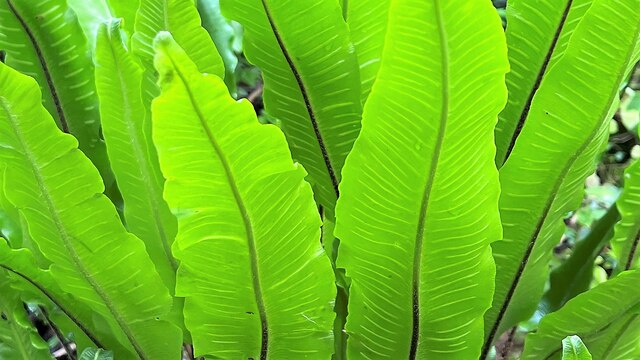
The area is also home to an abundance of wildlife, including rare species of butterflies, birds, and plants. Moreover, Devil's Dyke is renowned for its vibrant displays of wildflowers during the spring and summer months.
In addition to its natural beauty, Devil's Dyke offers various recreational activities such as paragliding and kite flying. The valley has become a popular spot for these sports due to its strong winds and the wide open space it provides.
Overall, Devil's Dyke is a captivating and cherished location, attracting visitors from near and far who are captivated by its rich history and breathtaking views.
If you have any feedback on the listing, please let us know in the comments section below.
Devil's Dyke Images
Images are sourced within 2km of 50.88587/-0.20283988 or Grid Reference TQ2611. Thanks to Geograph Open Source API. All images are credited.
Devil's Dyke is located at Grid Ref: TQ2611 (Lat: 50.88587, Lng: -0.20283988)
Administrative County: West Sussex
District: Mid Sussex
Police Authority: Sussex
What 3 Words
///submerged.mallets.shop. Near Portslade, East Sussex
Nearby Locations
Related Wikis
Devil's Dyke, Sussex
Devil's Dyke is a 100 metre (300') deep V-shaped dry valley on the South Downs in Sussex in southern England, 5 miles (8.0 km) north-west of Brighton....

Saddlescombe Preceptory
Saddlescombe Preceptory was a priory in West Sussex, England. == References == == Further reading == L. F. Salzmann (1907). "Religious Houses: The Preceptory...

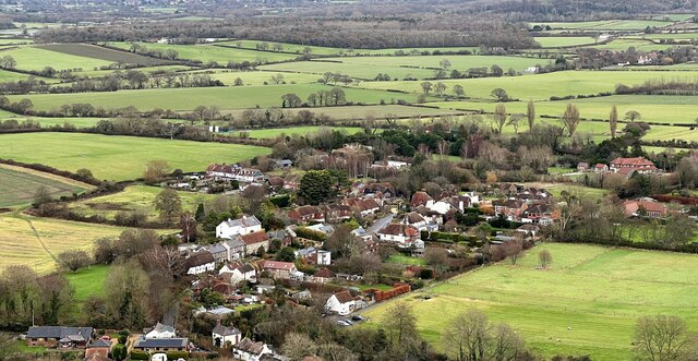
Poynings
Poynings ( or locally ) is a village and civil parish in the Mid Sussex District of West Sussex, England. The parish lies wholly with the South Downs...
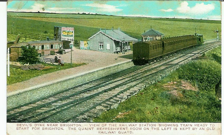
The Dyke railway station
The Dyke railway station was a railway station near Devil's Dyke in West Sussex, England which opened in 1887 and closed in 1939. == History == The Dyke...

Beeding Hill to Newtimber Hill
Beeding Hill to Newtimber Hill is a 321 ha (790-acre) biological and geological Downland Site of Special Scientific Interest (SSSI) north of Shoreham-by...

Fulking
Fulking is a village and civil parish in the Mid Sussex District of West Sussex, England. The parish lies wholly with the South Downs National Park. The...
Golf Club Halt railway station (England)
Golf Club Halt railway station, was a railway station in Hove, in East Sussex, England which opened in 1891 and closed in 1939. The station served the...

Newtimber Place
Newtimber Place is a Grade I listed building in the Mid Sussex district of West Sussex, England. The house sits on a D-shaped island in a moat. The oldest...
Nearby Amenities
Located within 500m of 50.88587,-0.20283988Have you been to Devil's Dyke?
Leave your review of Devil's Dyke below (or comments, questions and feedback).