Summer Down
Downs, Moorland in Sussex Mid Sussex
England
Summer Down
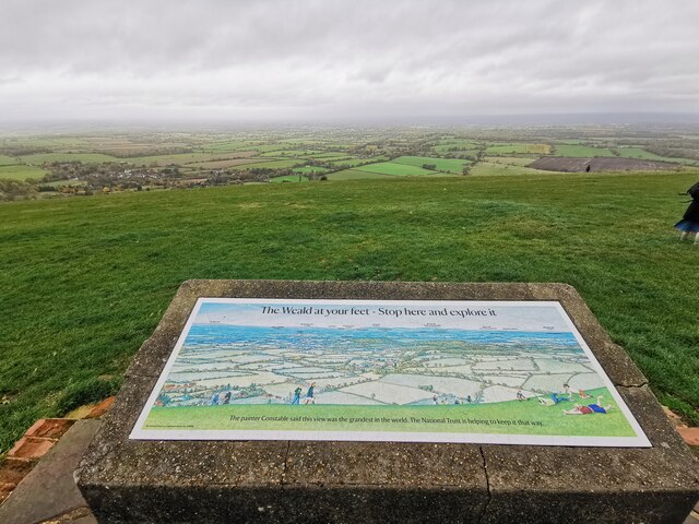
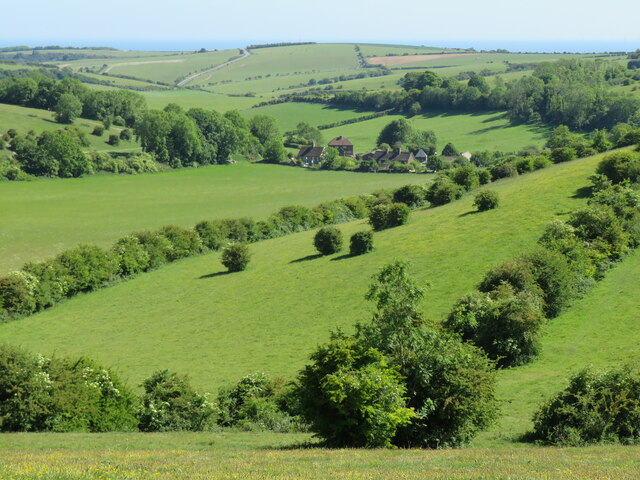
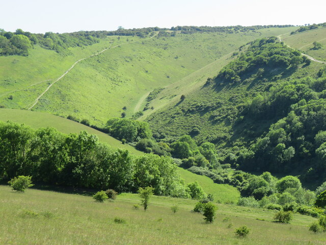
Summer Down is a picturesque area located in the county of Sussex, England. It is characterized by its rolling hills, expansive grasslands, and diverse flora and fauna. Situated in the South Downs National Park, Summer Down offers breathtaking views and an abundance of outdoor activities for nature enthusiasts.
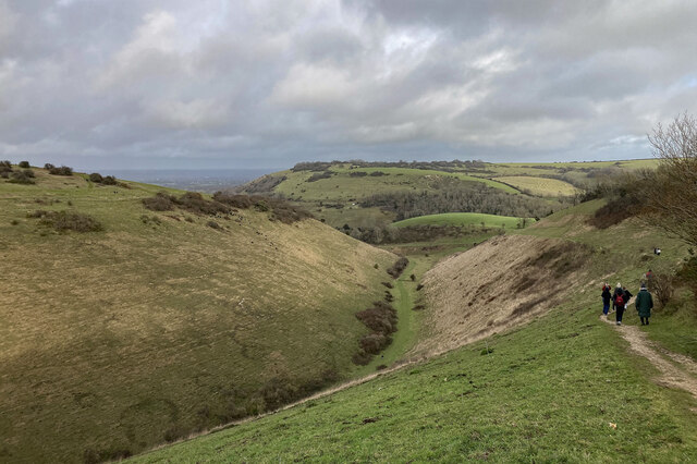
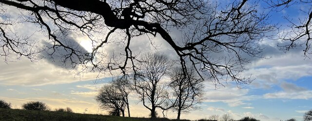
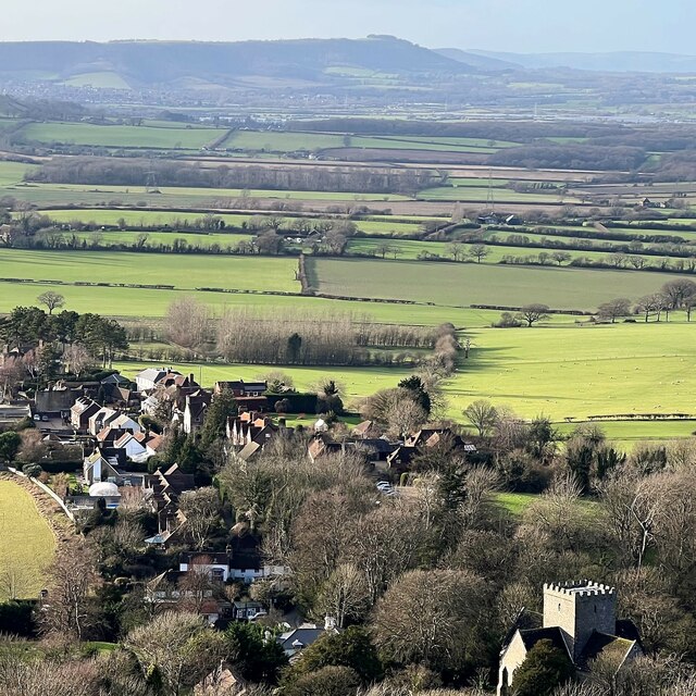
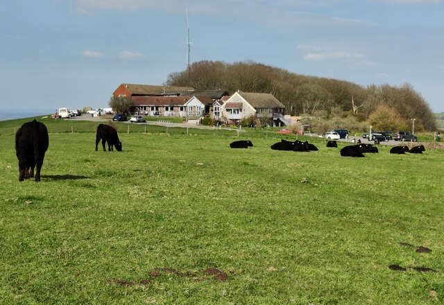
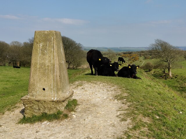
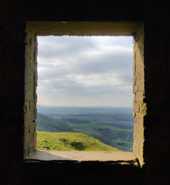
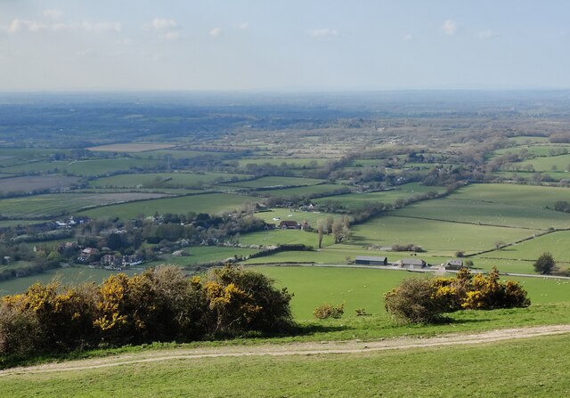
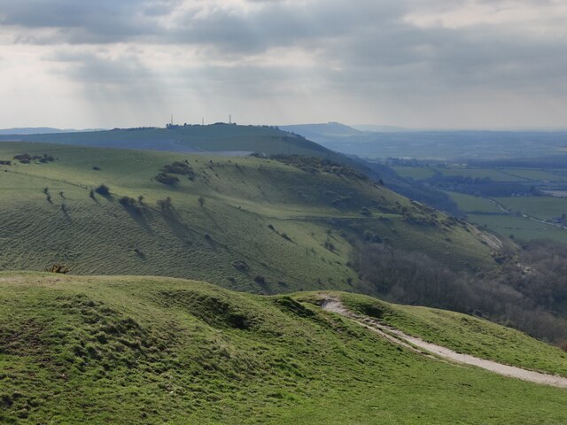
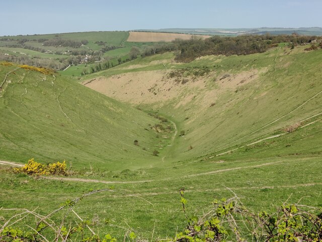
The landscape of Summer Down is dominated by the iconic chalk hills of the South Downs, which provide a stunning backdrop to the area. These hills are interspersed with deep valleys and steep slopes, creating a varied and dynamic terrain. The area is also home to several large open spaces, including meadows and heathlands, which are teeming with wildflowers during the summer months.
The flora and fauna of Summer Down are incredibly diverse. The grasslands are adorned with vibrant wildflowers such as harebells, ox-eye daisies, and orchids, attracting a wide variety of butterflies and bees. The heathlands are home to rare species like the silver-studded blue butterfly and the Dartford warbler. The area also supports a healthy population of mammals, including deer, foxes, and badgers.
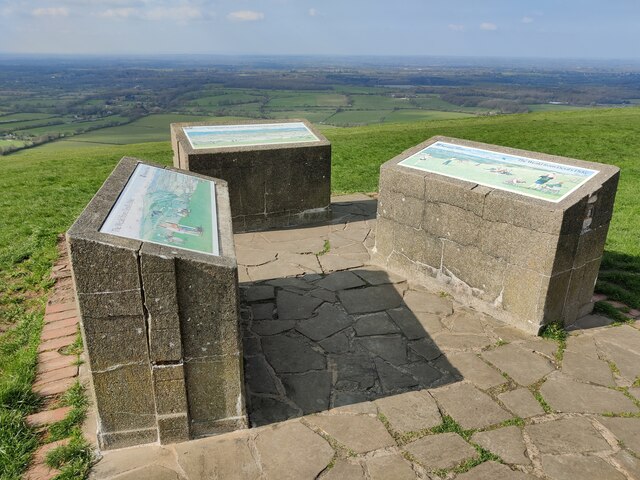
Outdoor activities in Summer Down are plentiful, making it a popular destination for hikers, cyclists, and nature lovers. The South Downs Way, a long-distance footpath, passes through the area, offering breathtaking views of the surrounding countryside. Additionally, there are numerous trails and bridleways that wind through the hills, providing opportunities for exploration and adventure.
In conclusion, Summer Down is a captivating area in Sussex, boasting stunning landscapes, diverse flora and fauna, and a plethora of outdoor activities. It is a haven for nature enthusiasts seeking a peaceful retreat or an adrenaline-filled adventure amidst the beauty of the South Downs.
If you have any feedback on the listing, please let us know in the comments section below.
Summer Down Images
Images are sourced within 2km of 50.885521/-0.19882985 or Grid Reference TQ2611. Thanks to Geograph Open Source API. All images are credited.

Summer Down is located at Grid Ref: TQ2611 (Lat: 50.885521, Lng: -0.19882985)
Administrative County: West Sussex
District: Mid Sussex
Police Authority: Sussex
What 3 Words
///touches.respond.unlocking. Near Portslade, East Sussex
Nearby Locations
Related Wikis
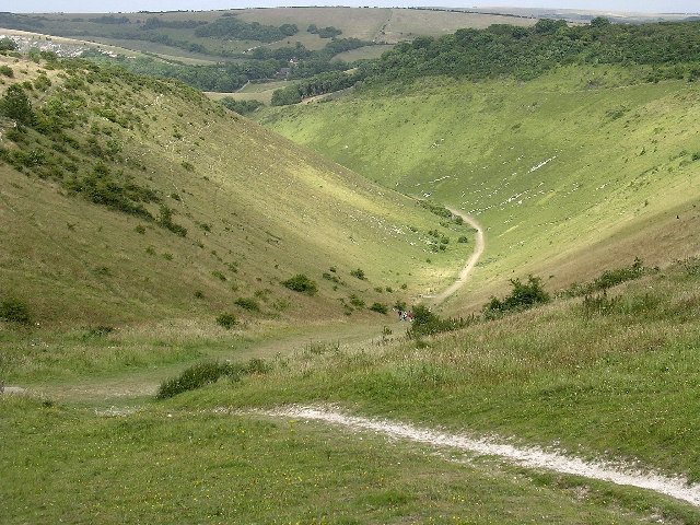
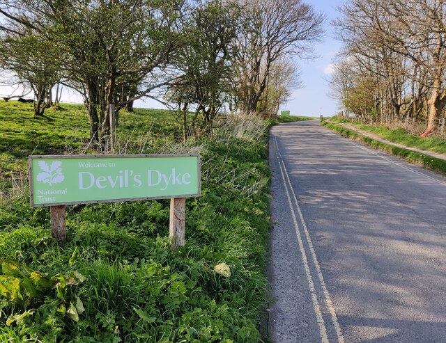
Devil's Dyke, Sussex
Devil's Dyke is a 100 metre (300') deep V-shaped dry valley on the South Downs in Sussex in southern England, 5 miles (8.0 km) north-west of Brighton....

Saddlescombe Preceptory
Saddlescombe Preceptory was a priory in West Sussex, England. == References == == Further reading == L. F. Salzmann (1907). "Religious Houses: The Preceptory...

Poynings
Poynings ( or locally ) is a village and civil parish in the Mid Sussex District of West Sussex, England. The parish lies wholly with the South Downs...
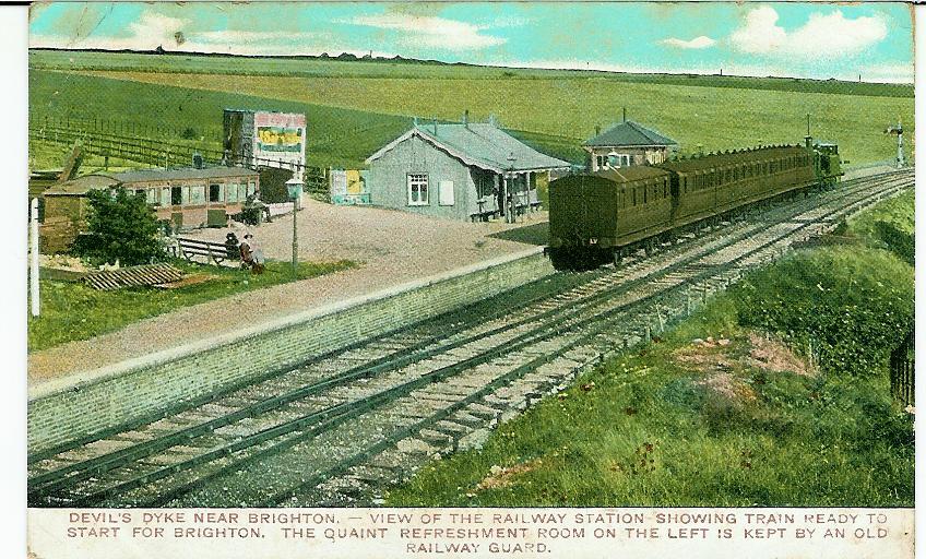
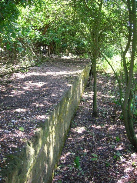
The Dyke railway station
The Dyke railway station was a railway station near Devil's Dyke in West Sussex, England which opened in 1887 and closed in 1939. == History == The Dyke...
Golf Club Halt railway station (England)
Golf Club Halt railway station, was a railway station in Hove, in East Sussex, England which opened in 1891 and closed in 1939. The station served the...

Beeding Hill to Newtimber Hill
Beeding Hill to Newtimber Hill is a 321 ha (790-acre) biological and geological Downland Site of Special Scientific Interest (SSSI) north of Shoreham-by...

Fulking
Fulking is a village and civil parish in the Mid Sussex District of West Sussex, England. The parish lies wholly with the South Downs National Park. The...

Patcham Pylon
The Patcham Pylon is a monumental gateway erected in 1928 near Patcham in East Sussex, England. Designed by local architect John Leopold Denman and paid...
Nearby Amenities
Located within 500m of 50.885521,-0.19882985Have you been to Summer Down?
Leave your review of Summer Down below (or comments, questions and feedback).