Margery Green
Downs, Moorland in Hertfordshire East Hertfordshire
England
Margery Green
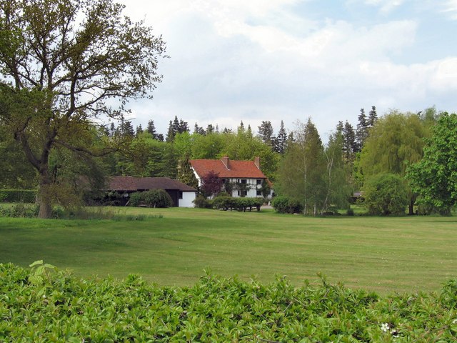
Margery Green is a charming village located in the county of Hertfordshire, England. Situated in the picturesque Downs and Moorland region, the village is known for its idyllic countryside and natural beauty.
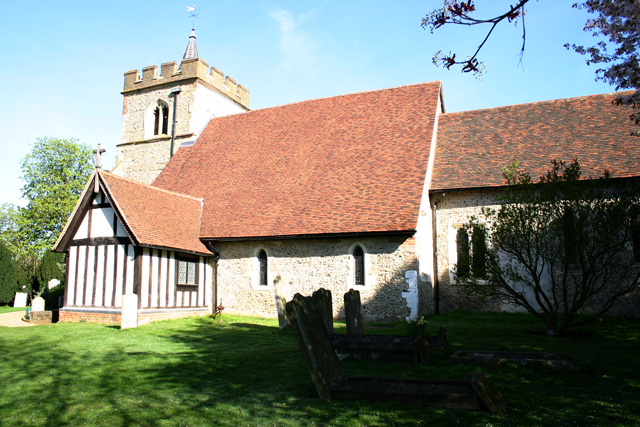
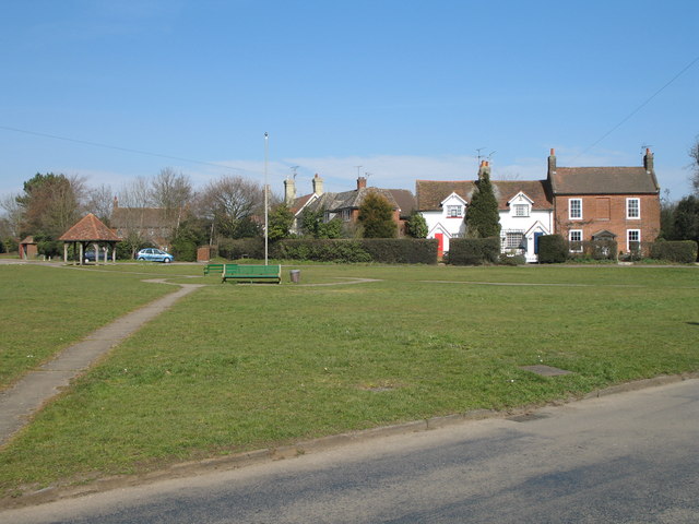
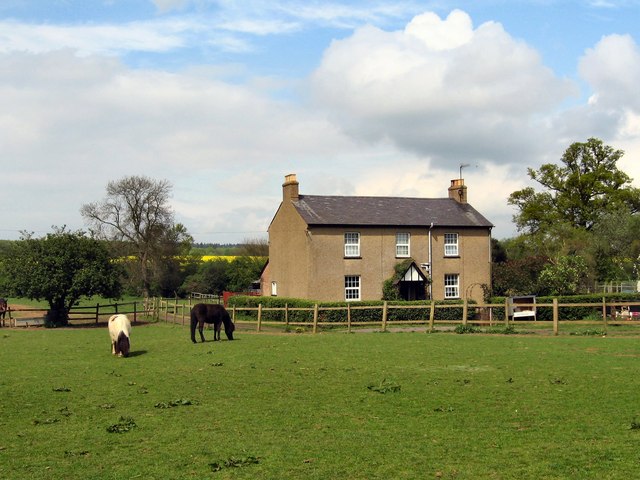
The village is home to a small and close-knit community, with a population of approximately 500 residents. The local residents take great pride in maintaining the village's traditional character and preserving its historic architecture. The majority of the houses in Margery Green are quaint cottages made of local stone, giving the village a timeless and rustic charm.
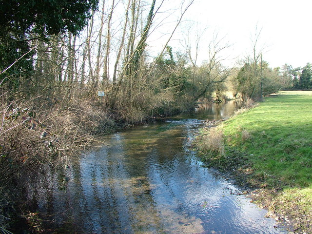
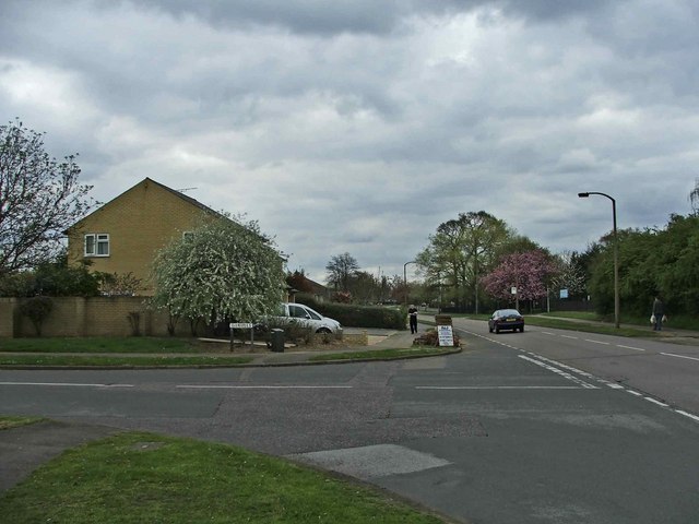
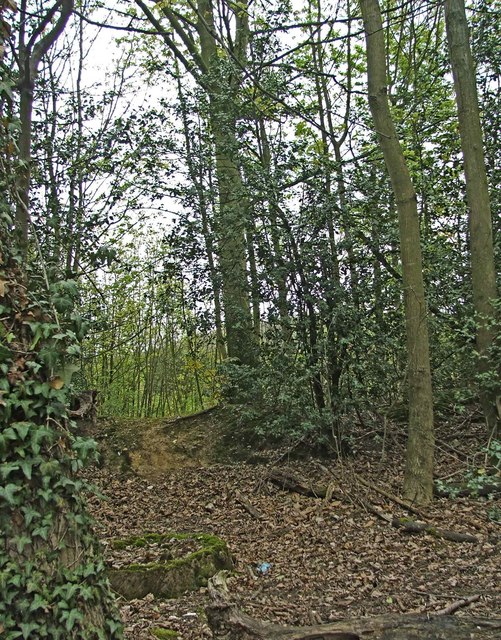
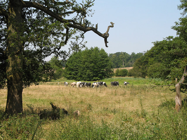
Surrounded by rolling hills and meadows, Margery Green offers an abundance of opportunities for outdoor activities and exploration. The Downs and Moorland area features several nature reserves and walking trails, allowing visitors to immerse themselves in the stunning natural scenery. The village is also located near several ancient woodlands, making it a haven for nature enthusiasts and wildlife lovers.
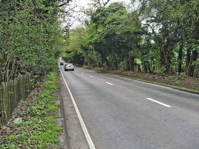
Despite its tranquil setting, Margery Green is conveniently located near major transport links. The village is well-connected to nearby towns and cities, with easy access to the A1(M) motorway and regular bus services.
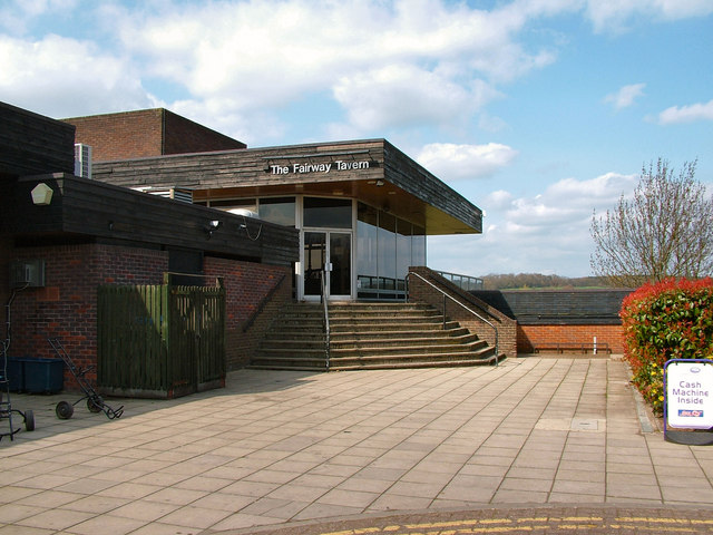
In terms of amenities, Margery Green boasts a village hall, a local pub, and a small but well-stocked convenience store. The village also hosts various community events throughout the year, including a summer fete and a Christmas market, fostering a strong sense of community spirit.
Overall, Margery Green offers a peaceful and picturesque setting, making it an ideal place for those seeking a rural escape while still being within reach of urban conveniences.
If you have any feedback on the listing, please let us know in the comments section below.
Margery Green Images
Images are sourced within 2km of 51.817895/-0.16084567 or Grid Reference TL2614. Thanks to Geograph Open Source API. All images are credited.
Margery Green is located at Grid Ref: TL2614 (Lat: 51.817895, Lng: -0.16084567)
Administrative County: Hertfordshire
District: East Hertfordshire
Police Authority: Hertfordshire
What 3 Words
///mice.remark.splice. Near Welwyn Garden City, Hertfordshire
Nearby Locations
Related Wikis

Tewin
Tewin is an English village and civil parish in Hertfordshire, England between the towns of Welwyn Garden City, Stevenage, Welwyn (village) and the county...

Tewin Orchard and Hopkyns Wood
Tewin Orchard and Hopkyns Wood is a 4.3-hectare (11-acre) nature reserve in Tewin in Hertfordshire. It is managed by the Herts and Middlesex Wildlife Trust...

Tewinbury
Tewinbury is a 7.5-hectare (19-acre) biological Site of Special Scientific Interest near Tewin in Hertfordshire. The local planning authority is East Hertfordshire...
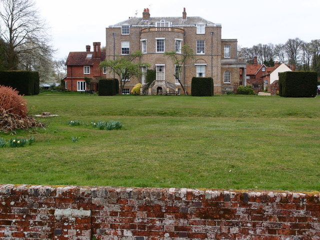
Marden Hill
Marden Hill is a Grade II* listed country house close to the village of Tewin, Hertfordshire.The house, originally Jacobean but substantially rebuilt in...

Panshanger Aerodrome
Panshanger Aerodrome (ICAO: EGLG) was a former general aviation aerodrome located on the most eastern tip of Welwyn Garden City, Hertfordshire, England...

Welwyn Garden City F.C.
Welwyn Garden City Football Club is a football club based in Welwyn Garden City, Hertfordshire. They currently play in the Southern League Division One...

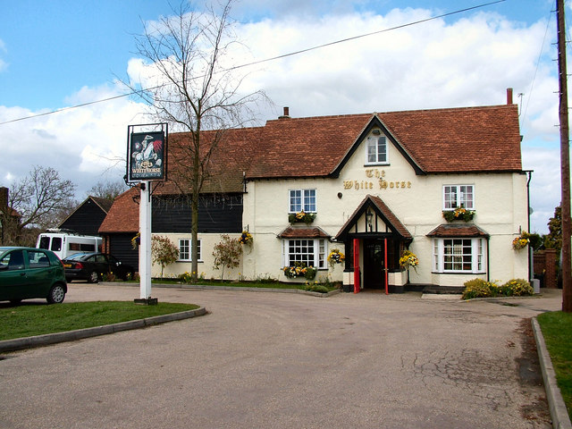
The White Horse, Burnham Green
The White Horse is a grade II listed public house in Whitehorse Lane, Burnham Green, in the parish of Datchworth in Hertfordshire. The building dates from...

Digswell
Digswell is an ancient village and former parish in the English county of Hertfordshire which is recorded in the 1086 Domesday Book. The population of...
Nearby Amenities
Located within 500m of 51.817895,-0.16084567Have you been to Margery Green?
Leave your review of Margery Green below (or comments, questions and feedback).