Lock Hill
Hill, Mountain in Yorkshire
England
Lock Hill
Lock Hill is a picturesque hill located in the county of Yorkshire, England. Situated near the charming village of Lockton, the hill offers breathtaking views of the surrounding countryside and is a popular destination for hikers and nature enthusiasts.
Standing at an elevation of approximately 400 meters, Lock Hill is classified as a hill rather than a mountain. However, its commanding position provides visitors with sweeping vistas of the rolling green hills, lush valleys, and quaint villages that dot the landscape.
The hill is adorned with an abundance of native flora and fauna, making it an ideal spot for wildlife lovers. Visitors may spot various species of birds, including kestrels, buzzards, and peregrine falcons, soaring above the hill. The surrounding woodlands are home to elusive mammals such as badgers and foxes, adding to the area's ecological diversity.
Lock Hill offers several hiking trails, ranging from leisurely walks to more challenging routes for experienced trekkers. The paths wind through heather-covered moorlands, ancient forests, and babbling brooks, providing a tranquil and scenic escape from the hustle and bustle of everyday life.
For those interested in history, the hill is also home to several archaeological sites, including Bronze Age burial mounds and remnants of ancient settlements. These remnants offer a glimpse into the lives of the people who once inhabited the area.
Overall, Lock Hill is a captivating destination that showcases the natural beauty and cultural heritage of Yorkshire. Whether visitors seek outdoor adventures, serene landscapes, or a glimpse into the past, Lock Hill is sure to enchant all who venture to its summit.
If you have any feedback on the listing, please let us know in the comments section below.
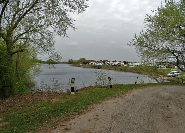
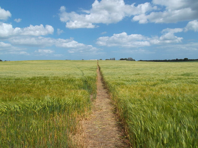
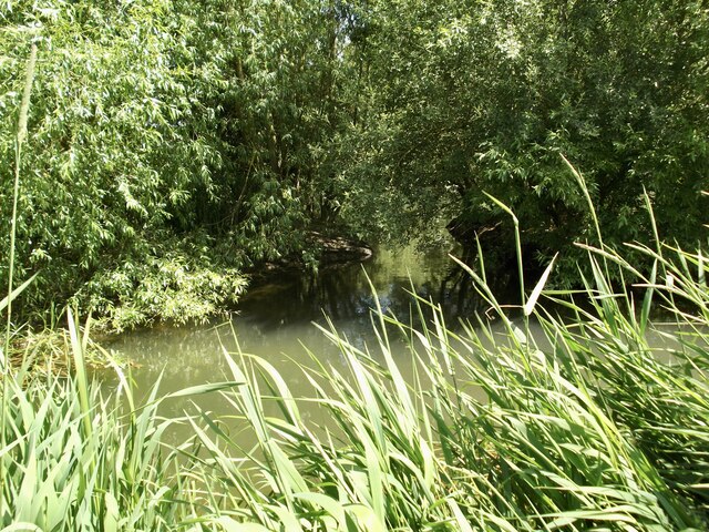
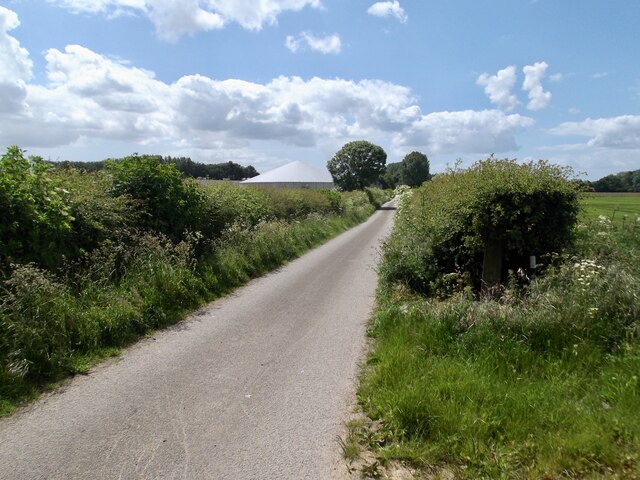
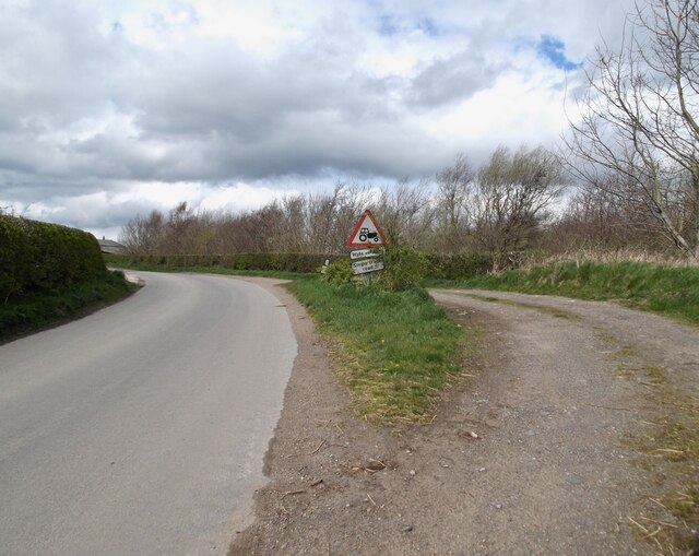
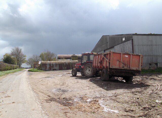
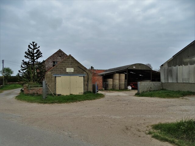
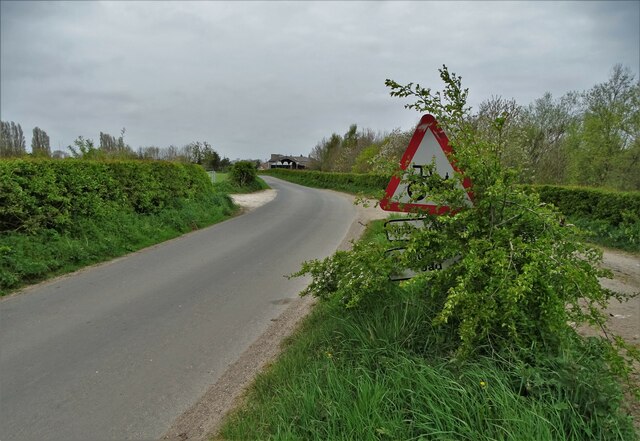
Lock Hill Images
Images are sourced within 2km of 53.935284/-0.35360554 or Grid Reference TA0850. Thanks to Geograph Open Source API. All images are credited.


Lock Hill is located at Grid Ref: TA0850 (Lat: 53.935284, Lng: -0.35360554)
Division: East Riding
Unitary Authority: East Riding of Yorkshire
Police Authority: Humberside
What 3 Words
///prettiest.reference.newsprint. Near Brandesburton, East Yorkshire
Nearby Locations
Related Wikis

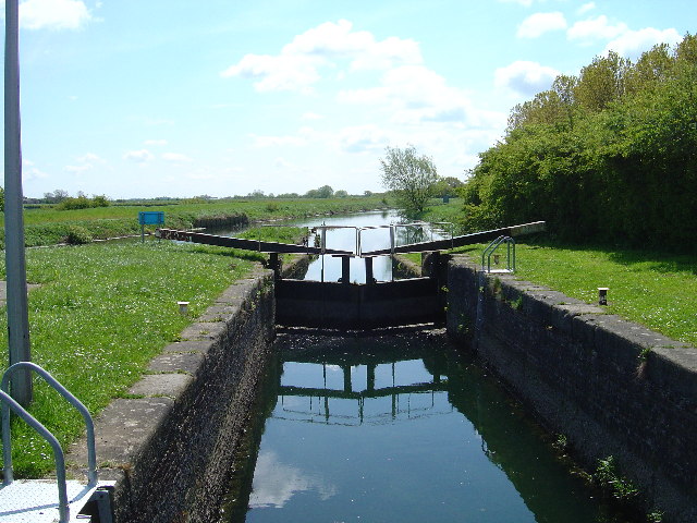
Struncheon Hill Lock
Struncheon Hill Lock was built as a later addition to the Driffield Navigation in the East Riding of Yorkshire, England. It improved access to the next...

Hempholme
Hempholme is a hamlet in the East Riding of Yorkshire, England, in an area known as Holderness. It is situated approximately 8 miles (13 km) north-east...

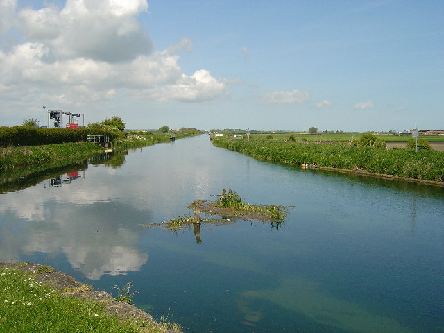
Bethells Bridge
Bethells Bridge, a swing bridge on the Driffield Navigation in the East Riding of Yorkshire, England. The bridge was built to access land cut off after...

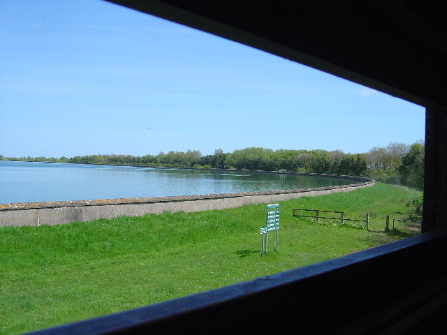
Tophill Low
Tophill Low is a nature reserve and Site of Special Scientific Interest (SSSI) in the East Riding of Yorkshire, England. The site is also an active water...
Nearby Amenities
Located within 500m of 53.935284,-0.35360554Have you been to Lock Hill?
Leave your review of Lock Hill below (or comments, questions and feedback).