Harrow Hill
Hill, Mountain in Sussex Arun
England
Harrow Hill
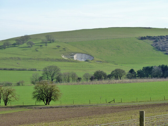
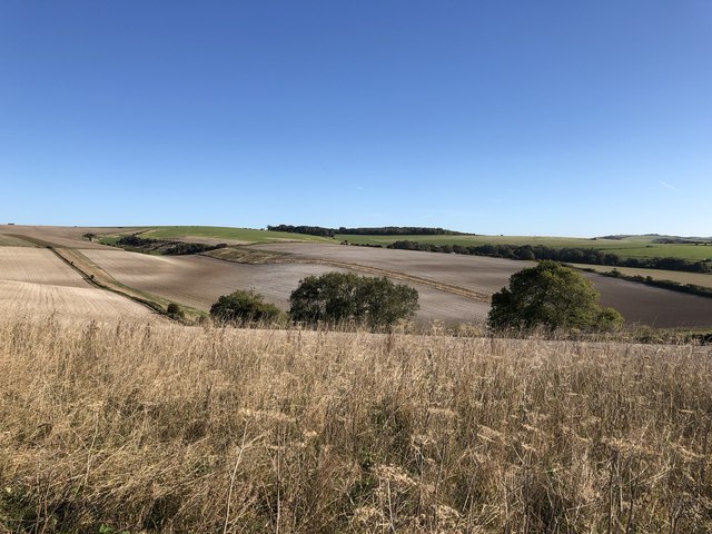
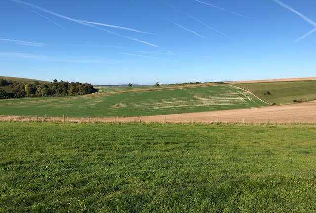
Harrow Hill is an iconic landmark located in West Sussex, England. Standing at an elevation of 214 meters, this prominent hill is often referred to as Harrow Mountain due to its significant height compared to the surrounding landscape. It is situated near the village of Amberley, within the South Downs National Park.
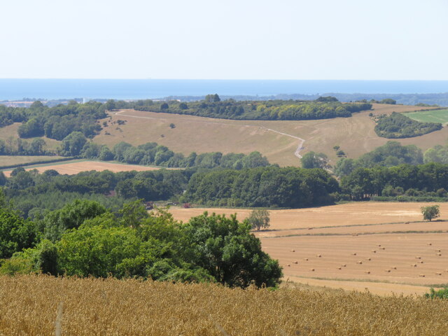
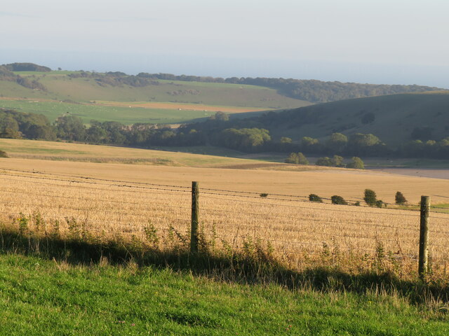
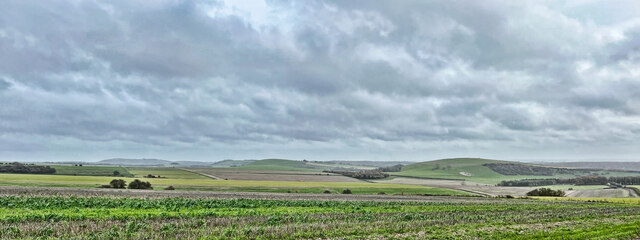
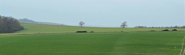
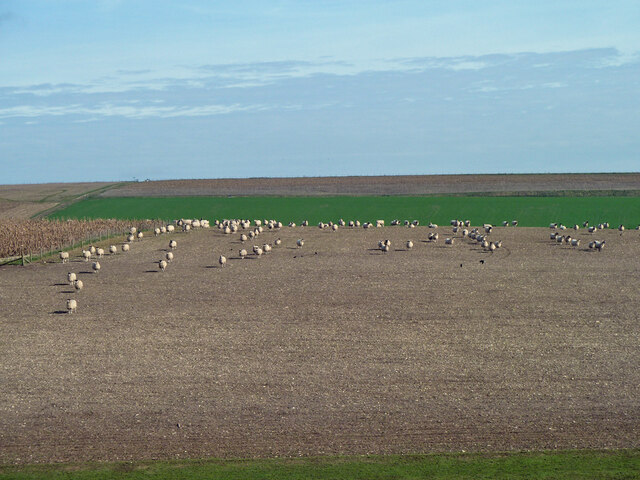
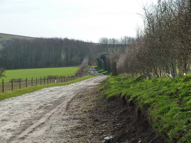
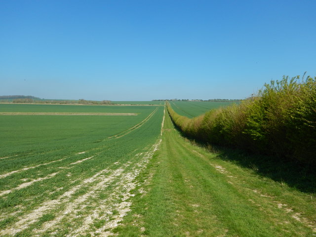
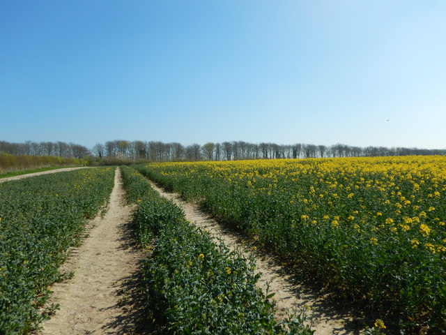
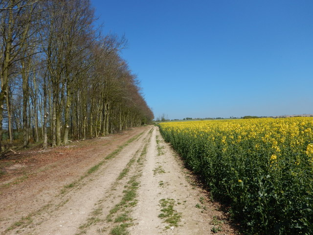
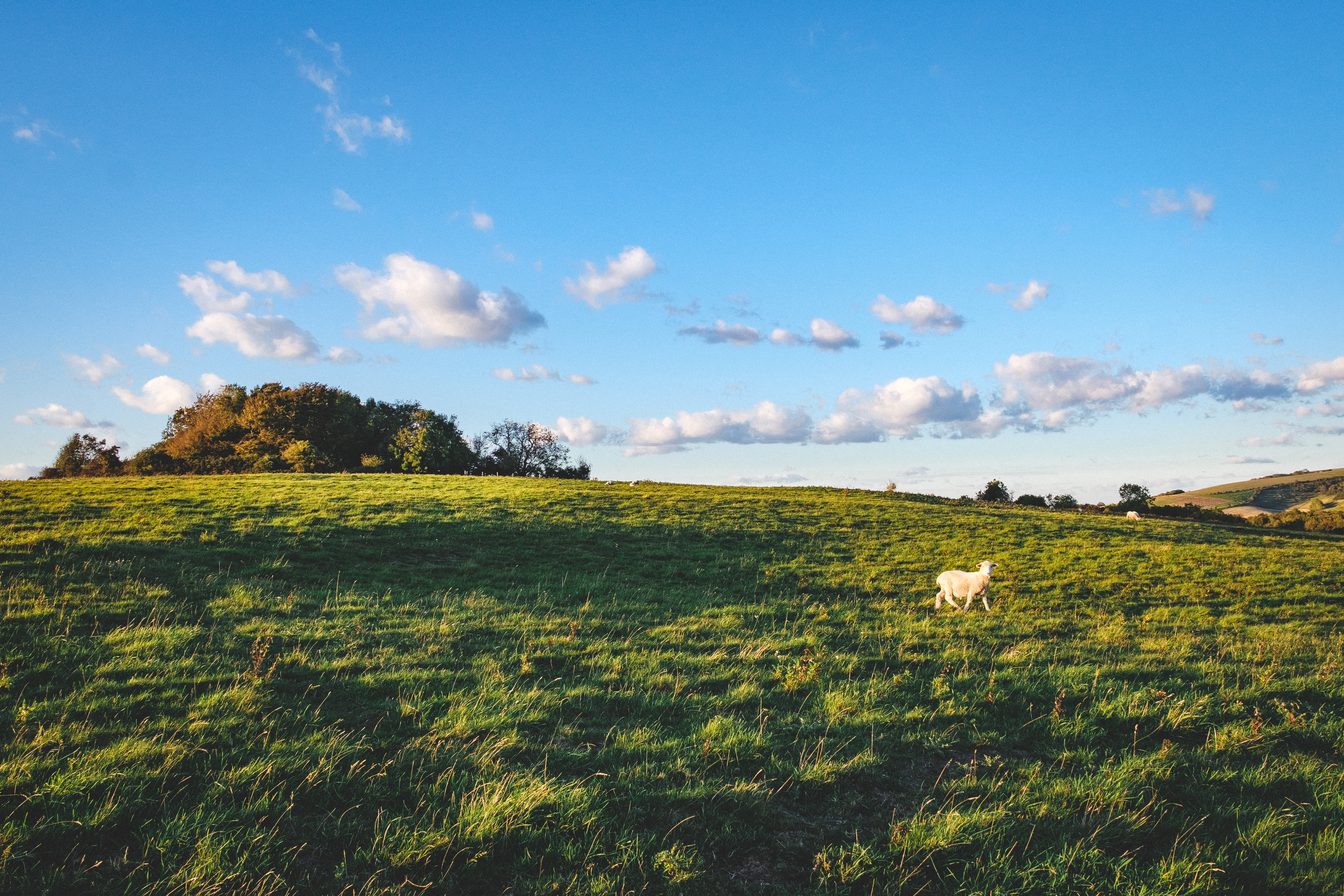
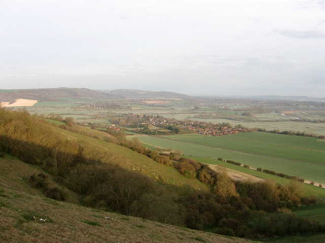
Renowned for its breathtaking panoramic views, Harrow Hill offers visitors an unparalleled vantage point to admire the picturesque countryside. From its summit, one can feast their eyes on a patchwork of green fields, rolling hills, and quaint villages that dot the landscape. On a clear day, it is even possible to catch a glimpse of the English Channel in the distance.
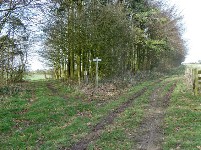
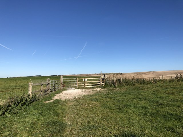
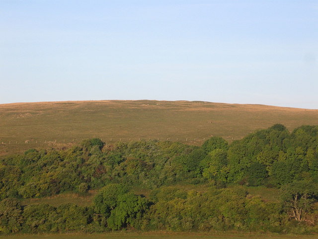
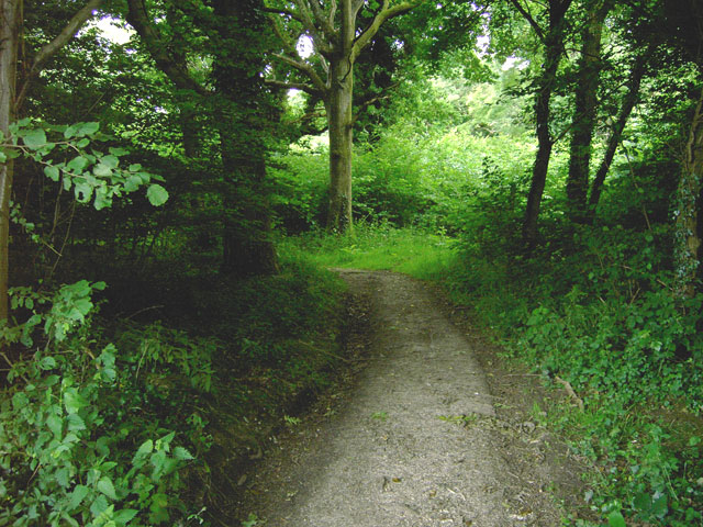
The hill itself is covered in lush grass and is a popular spot for outdoor activities such as hillwalking, picnicking, and kite flying. Its gentle slopes make it accessible to people of all ages and fitness levels, providing a peaceful respite from the hustle and bustle of everyday life.
Harrow Hill is also home to a diverse range of flora and fauna, including wildflowers, birds, and butterflies. Its rich biodiversity has led to its designation as a Site of Special Scientific Interest, ensuring its preservation for future generations to enjoy.
Overall, Harrow Hill in Sussex is a natural gem that offers visitors a chance to immerse themselves in the beauty of the English countryside and experience the tranquility of its surroundings.
If you have any feedback on the listing, please let us know in the comments section below.
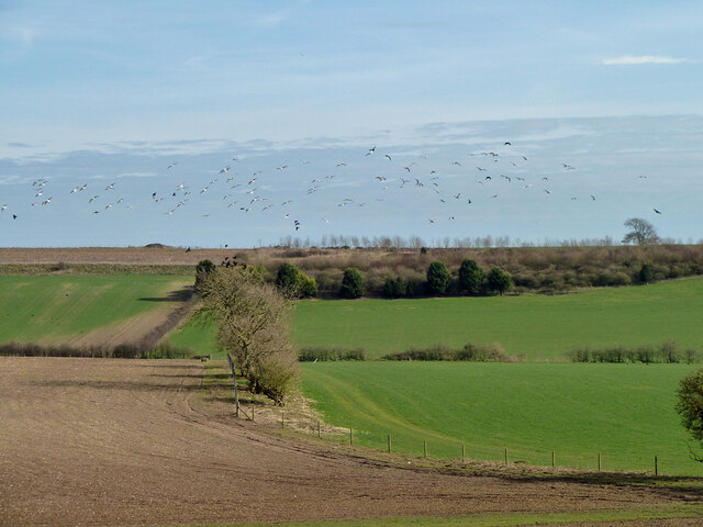
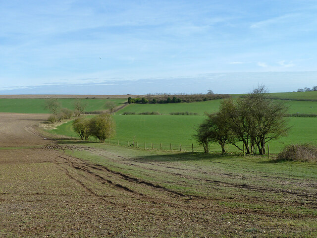
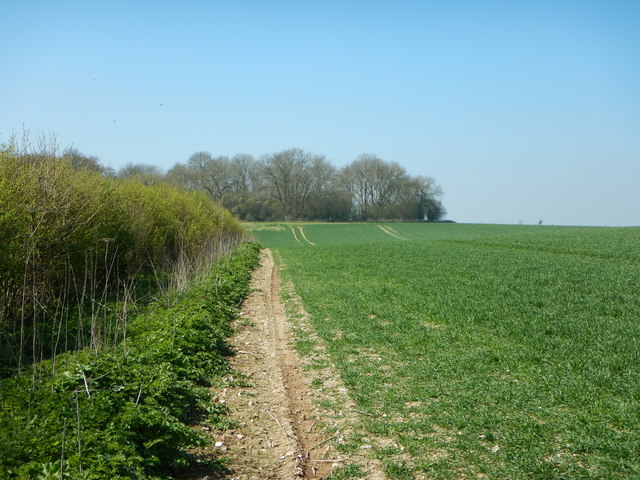
Harrow Hill Images
Images are sourced within 2km of 50.879293/-0.46404028 or Grid Reference TQ0809. Thanks to Geograph Open Source API. All images are credited.
Harrow Hill is located at Grid Ref: TQ0809 (Lat: 50.879293, Lng: -0.46404028)
Administrative County: West Sussex
District: Arun
Police Authority: Sussex
What 3 Words
///commended.headstone.jaunts. Near Findon, West Sussex
Nearby Locations
Related Wikis
Harrow Hill, West Sussex
Harrow Hill is an archaeological site in West Sussex, England. It is on the South Downs about 3 miles (5 km) north of the village of Angmering and 5 miles...

Blackpatch
Blackpatch is an archaeological site in West Sussex, England, about 2 miles (3.2 km) west of the village of Findon and about 3 miles (4.8 km) north-west...
Muntham Court
Muntham Court was a country house and estate near a village of Findon, West Sussex, England. In the 1800s the estate covered 1,890 acres (760 ha). Following...
Muntham Court Romano-British site
The Muntham Court Romano-British site is an archeological site situated on the western edge of the village of Findon in West Sussex. It is a Scheduled...
Worthing Rural District
Worthing Rural District was a rural district in West Sussex, England from 1933 to 1974. It comprised an area to the north, west and east, but did not...
Clapham Wood
Clapham Wood is a woodland area in Clapham, West Sussex, England, which Fortean authors and paranormal enthusiasts believe to be a locus of UFO sightings...
Amberley Mount to Sullington Hill
Amberley Mount to Sullington Hill is a 177.2-hectare (438-acre) biological Site of Special Scientific Interest south-west of Storrington in West Sussex...

Windlesham House School
Windlesham House School is an independent boarding and day school for boys and girls aged 4 to 13 on the South Downs, in Pulborough, West Sussex, England...
Nearby Amenities
Located within 500m of 50.879293,-0.46404028Have you been to Harrow Hill?
Leave your review of Harrow Hill below (or comments, questions and feedback).