Hempholme
Settlement in Yorkshire
England
Hempholme
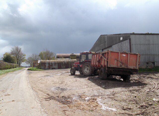
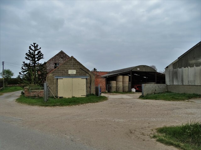
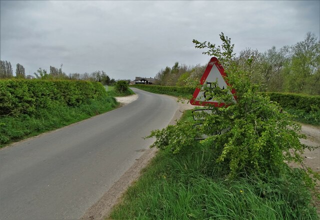
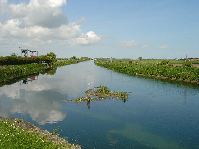
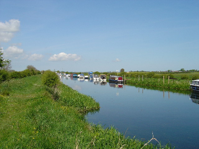
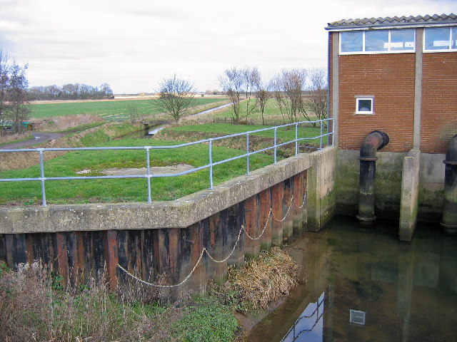
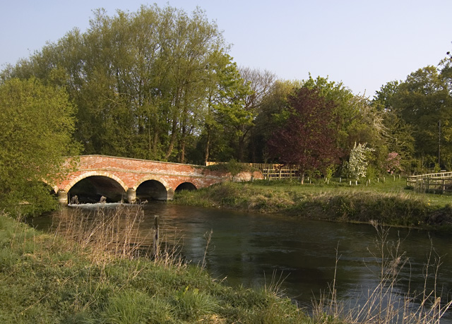
Hempholme is a small village located in the East Riding of Yorkshire, England. Situated approximately 8 miles northeast of the market town of Driffield, it is nestled amidst the picturesque countryside of the Yorkshire Wolds. Hempholme is a tranquil and rural community, offering residents and visitors a peaceful retreat from the bustling city life.
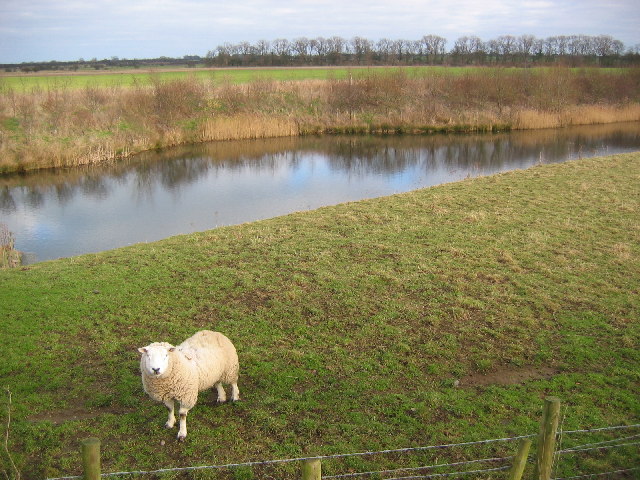
The village is characterized by its charming and traditional architecture, with a cluster of stone-built cottages and farmhouses dotting the landscape. Hempholme is surrounded by vast fields and rolling hills, which are often adorned with grazing livestock, adding to the area's bucolic charm.
Despite its small size, Hempholme boasts a strong sense of community spirit, with residents actively involved in local events and initiatives. The village is home to a small but welcoming population, and its close-knit community is known for its friendliness and warmth.
While Hempholme may lack the amenities and facilities found in larger towns, the nearby market town of Driffield provides easy access to a range of services, including shops, schools, and healthcare facilities. Additionally, the village benefits from its proximity to the stunning Yorkshire Wolds, offering residents and visitors ample opportunities for outdoor activities such as hiking, cycling, and exploring the picturesque countryside.
Overall, Hempholme offers a peaceful and idyllic setting for those seeking a rural lifestyle away from the hustle and bustle of urban centers. With its charming architecture, friendly community, and beautiful natural surroundings, Hempholme truly embodies the quintessential English village.
If you have any feedback on the listing, please let us know in the comments section below.
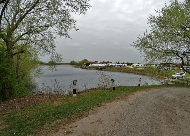
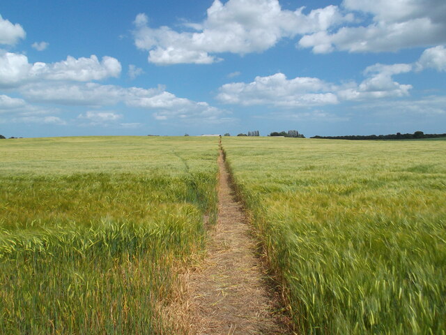
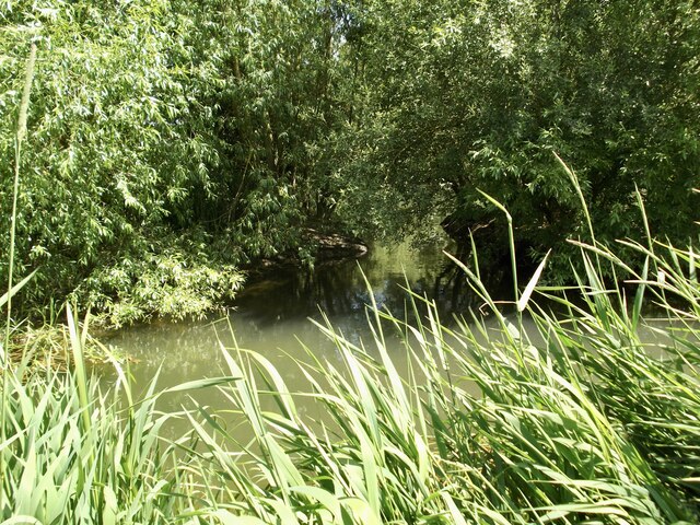
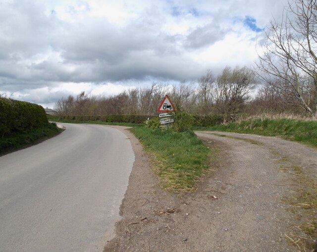
Hempholme Images
Images are sourced within 2km of 53.939231/-0.34717331 or Grid Reference TA0850. Thanks to Geograph Open Source API. All images are credited.


Hempholme is located at Grid Ref: TA0850 (Lat: 53.939231, Lng: -0.34717331)
Division: East Riding
Unitary Authority: East Riding of Yorkshire
Police Authority: Humberside
What 3 Words
///responses.outwards.scales. Near Brandesburton, East Yorkshire
Nearby Locations
Related Wikis

Hempholme
Hempholme is a hamlet in the East Riding of Yorkshire, England, in an area known as Holderness. It is situated approximately 8 miles (13 km) north-east...

Bethells Bridge
Bethells Bridge, a swing bridge on the Driffield Navigation in the East Riding of Yorkshire, England. The bridge was built to access land cut off after...

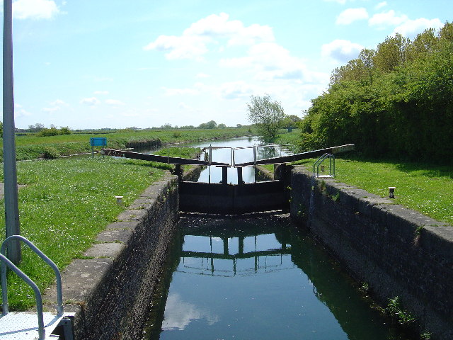
Struncheon Hill Lock
Struncheon Hill Lock was built as a later addition to the Driffield Navigation in the East Riding of Yorkshire, England. It improved access to the next...

Emmotland
Emmotland is a small hamlet in the East Riding of Yorkshire, England. It forms part of the civil parish of North Frodingham. The hamlet consists of two...
West Beck
West Beck is the common name given to the upper section of the old River Hull, as it rises in the foothills of the Yorkshire Wolds. After reaching Frodingham...
Fisholme
Fisholme is a small area in the East Riding of Yorkshire, England that is situated between Brigham and Emmotland. The canal section of the Driffield Navigation...

Tophill Low
Tophill Low is a nature reserve and Site of Special Scientific Interest (SSSI) in the East Riding of Yorkshire, England. The site is also an active water...

Rotsea
Rotsea is a hamlet and former civil parish, now in the parish of Hutton Cranswick, in the East Riding of Yorkshire, England. It is situated approximately...
Nearby Amenities
Located within 500m of 53.939231,-0.34717331Have you been to Hempholme?
Leave your review of Hempholme below (or comments, questions and feedback).