Larum Hill

Hill, Mountain in Yorkshire

England

Larum Hill

At "The Billabong" An old gravel pit is now the heart of a leisure site with caravans, cabins and of course fishing.
At "The Billabong" Credit: Neil Theasby

Larum Hill is a prominent landmark located in the county of Yorkshire, England. It is a hill that stands at an elevation of approximately 350 meters (1148 feet) above sea level. Situated in the stunning countryside of Yorkshire, Larum Hill offers breathtaking views of the surrounding landscape, making it a popular destination for nature enthusiasts and hikers.

The hill is characterized by its gently sloping terrain, covered with lush green grass and scattered with a variety of wildflowers during the summer months. Its fertile soil supports an array of vegetation, including heather, gorse, and bracken, creating a vibrant and picturesque setting.

At the summit of Larum Hill, visitors are rewarded with a panoramic vista that stretches for miles, encompassing rolling hills, charming villages, and distant mountains. On a clear day, it is even possible to catch a glimpse of the North Sea shimmering in the distance.

The hill is easily accessible, with well-marked trails and footpaths that meander through the surrounding countryside, allowing visitors to explore its natural beauty at their own pace. Along the way, one might encounter various species of wildlife, such as rabbits, foxes, and a variety of bird species.

Larum Hill is not only a haven for outdoor enthusiasts, but it also holds historical significance. It is believed to have been inhabited by humans since prehistoric times, with archaeological evidence suggesting that it was once a settlement. The remnants of ancient structures and burial mounds have been discovered in the vicinity, adding to the hill's allure and intrigue.

Overall, Larum Hill in Yorkshire is a captivating destination that offers a blend of natural beauty, recreational opportunities, and a glimpse into the region's rich history.

If you have any feedback on the listing, please let us know in the comments section below.
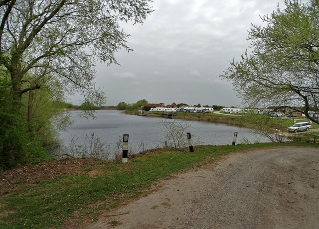
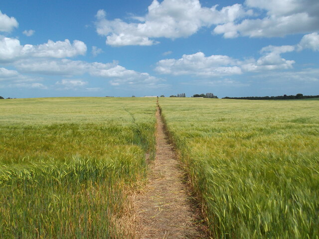
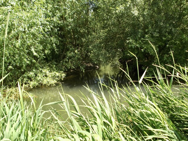
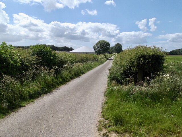
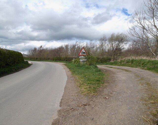
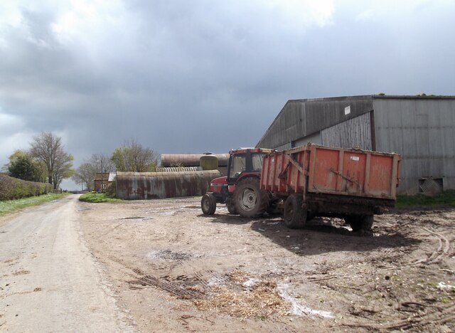
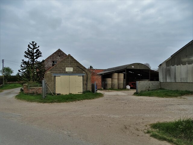
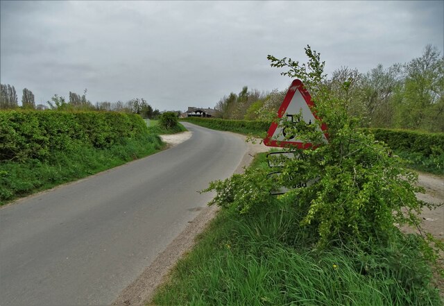
Larum Hill Images

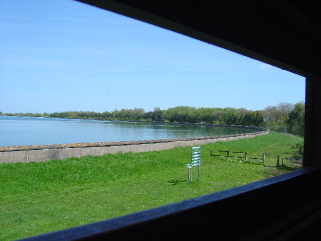
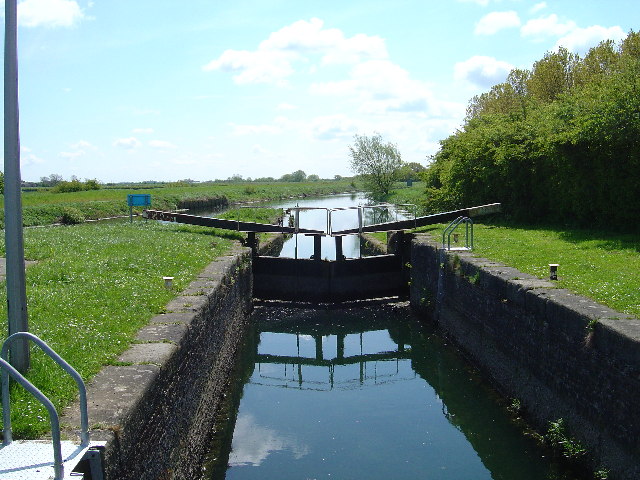
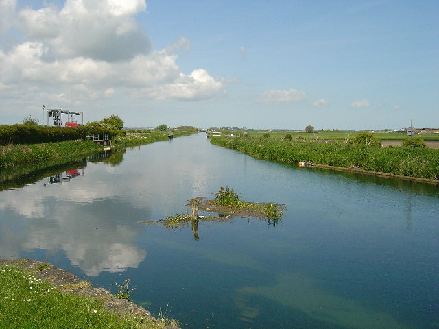
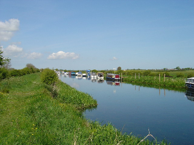
Images are sourced within 2km of 53.936276/-0.34928575 or Grid Reference TA0850. Thanks to Geograph Open Source API. All images are credited.

At "The Billabong" An old gravel pit is now the heart of a leisure site with caravans, cabins and of course fishing.
At "The Billabong"
An old gravel pit is now the heart of a leisure site with caravans, cabins and of course fishing.
Well defined path!
Well defined path!
A small side channel on the River Hull Strangely it is not marked on the map but can be seen on an aerial view. Only just in the square!
A small side channel on the River Hull
Strangely it is not marked on the map but can be seen on an aerial view. Only just in the square!
The road towards Decoy House The white building is entirely canvas...a big marquee!
The road towards Decoy House
The white building is entirely canvas...a big marquee!
Lay-by on the road to Hempholme
Hunt Hill Farm
Hunt Hill Farm
Haverham Farm, Hempholme
Lay-by and road sign to the east of Hempholme
River Hull - looking north from Bethell's Bridge
The old River Hull
The old River Hull
Tophill Low Nature Reserve "D" Reservoir Tophill Low water treatment works and nature reserve has two reservoirs known as the 'D' and 'O' reservoirs after their shape.  As well as being magnets for wildlife they are also major navigation way marks for small aircraft.  The only way to see the water is from the viewing hides.
Tophill Low Nature Reserve "D" Reservoir
Tophill Low water treatment works and nature reserve has two reservoirs known as the 'D' and 'O' reservoirs after their shape. As well as being magnets for wildlife they are also major navigation way marks for small aircraft. The only way to see the water is from the viewing hides.
Hempholme Lock This is one of the locks which maintain navigation on the River Hull.
Hempholme Lock
This is one of the locks which maintain navigation on the River Hull.
River Hull at Hempholme Lock River Hull looking north from Hempholme Lock.  Those that know the River Hull from the muddy mess in Hull may be surprised to see a clear chalk river.
River Hull at Hempholme Lock
River Hull looking north from Hempholme Lock. Those that know the River Hull from the muddy mess in Hull may be surprised to see a clear chalk river.
Leisure Craft on the River Hull Looking NE from 079505 near to Stuncheon Hill Farm - although both hills and stuncheons(?) seem to be lacking from the surrounding area.
Leisure Craft on the River Hull
Looking NE from 079505 near to Stuncheon Hill Farm - although both hills and stuncheons(?) seem to be lacking from the surrounding area.
Hunt Hill Farm View from the bottom SW corner of the grid square to Hunt Hill farm
Hunt Hill Farm
View from the bottom SW corner of the grid square to Hunt Hill farm
Bethells Bridge at Sunrise Taken at 5:12am, just as the sun was rising. There are now many boats moored at Bethells Bridge, but before 1960 it was just another bit of weedy bank. The photograph was taken from the bridge, facing away from the bridge keepers house (Swing Bridge Cottage). The area is often called Hempholme, which is actually a set of farmsteads just under a mile down the lane.
Bethells Bridge at Sunrise
Taken at 5:12am, just as the sun was rising. There are now many boats moored at Bethells Bridge, but before 1960 it was just another bit of weedy bank. The photograph was taken from the bridge, facing away from the bridge keepers house (Swing Bridge Cottage). The area is often called Hempholme, which is actually a set of farmsteads just under a mile down the lane.
Near Hempholme Pumping Station Looking NW along the drain opposite the pumping station. This is a typical view of the farmland in this area.
Near Hempholme Pumping Station
Looking NW along the drain opposite the pumping station. This is a typical view of the farmland in this area.
Hempholme Pumping Station A typical view looking NE of the land in this area.
Hempholme Pumping Station
A typical view looking NE of the land in this area.
Show me another place!

Larum Hill is located at Grid Ref: TA0850 (Lat: 53.936276, Lng: -0.34928575)

Division: East Riding

Unitary Authority: East Riding of Yorkshire

Police Authority: Humberside

What 3 Words

///really.heightens.sport. Near Brandesburton, East Yorkshire

Related Wikis

Hempholme

Hempholme is a hamlet in the East Riding of Yorkshire, England, in an area known as Holderness. It is situated approximately 8 miles (13 km) north-east...

Struncheon Hill Lock

Struncheon Hill Lock was built as a later addition to the Driffield Navigation in the East Riding of Yorkshire, England. It improved access to the next...

Bethells Bridge

Bethells Bridge, a swing bridge on the Driffield Navigation in the East Riding of Yorkshire, England. The bridge was built to access land cut off after...

Emmotland

Emmotland is a small hamlet in the East Riding of Yorkshire, England. It forms part of the civil parish of North Frodingham. The hamlet consists of two...

Nearby Amenities

Located within 500m of 53.936276,-0.34928575
Hempholme
Is In: East Riding of Yorkshire, England, UK
Is In County: East Riding of Yorkshire
Place: hamlet
Source: npe
Wikidata: Q5712691
Lat/Long: 53.9373131/-0.3442298
The data included in this document is from www.openstreetmap.org. The data is made available under ODbL.

Have you been to Larum Hill?

Leave your review of Larum Hill below (or comments, questions and feedback).