Longhurst Hill
Hill, Mountain in Surrey Waverley
England
Longhurst Hill

Longhurst Hill is a prominent hill located in the picturesque county of Surrey, England. Situated near the village of Longhurst, it forms part of the North Downs, a range of chalk hills that extends across southern England. Rising to an elevation of approximately 180 meters (590 feet), the hill offers breathtaking panoramic views of the surrounding countryside.
Covered in lush greenery, Longhurst Hill is home to a diverse range of flora and fauna, making it a popular destination for nature enthusiasts and hikers. The hill is characterized by its gentle slopes, allowing for relatively easy access to its summit. Walking trails meander through the landscape, offering visitors the opportunity to explore the area and enjoy the tranquility of the countryside.
At the top of Longhurst Hill, there is a viewing platform that provides uninterrupted vistas of the surrounding region, including the charming village of Longhurst and the sprawling fields and woodlands beyond. On a clear day, it is even possible to catch a glimpse of the distant Surrey Hills Area of Outstanding Natural Beauty.
Longhurst Hill is also of historical significance, with evidence of ancient settlements and earthworks found in the vicinity. It is believed that the hill was once used as a defensive position during various periods of conflict in England's past.
Overall, Longhurst Hill is a natural gem in the heart of Surrey, offering visitors a chance to experience the beauty of the English countryside and immerse themselves in the rich history of the area.
If you have any feedback on the listing, please let us know in the comments section below.
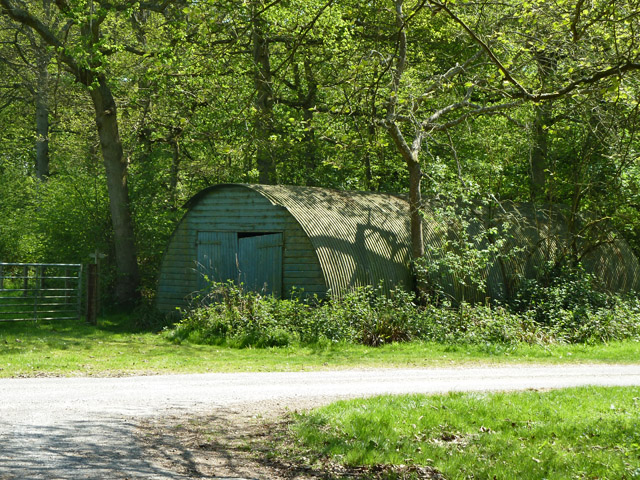
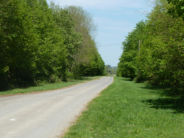
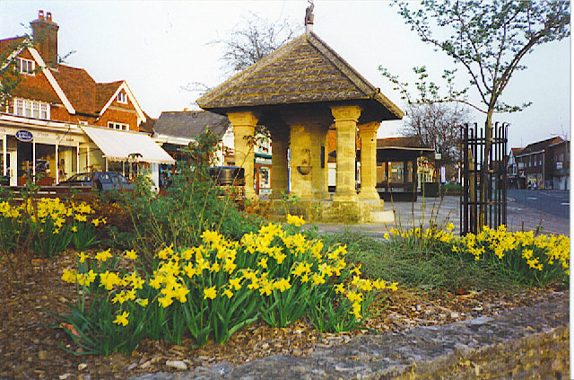
Longhurst Hill Images
Images are sourced within 2km of 51.129226/-0.45193422 or Grid Reference TQ0837. Thanks to Geograph Open Source API. All images are credited.


Longhurst Hill is located at Grid Ref: TQ0837 (Lat: 51.129226, Lng: -0.45193422)
Administrative County: Surrey
District: Waverley
Police Authority: Surrey
What 3 Words
///haystack.zaps.digress. Near Ewhurst, Surrey
Nearby Locations
Related Wikis

Longhurst Lodge
Longhurst Lodge is a Grade II listed building in Cranleigh, Surrey, England. It is located on the former Baynards Park estate, about a quarter of a mile...

Baynards Park
Baynards Park is a 2,000 acres (810 ha) estate and site of a demolished country house with extant outbuildings, privately owned, in the south of the parishes...
Cranleigh
Cranleigh is a village and civil parish, about 8 miles (13 km) southeast of Guildford in Surrey, England. It lies on a minor road east of the A281, which...

Smokejack Clay Pit
Smokejack Clay Pit is a 56-hectare (140-acre) geological Site of Special Scientific Interest east of Cranleigh in Surrey. It is a Geological Conservation...

Sayer's Croft LNR
Sayer's Croft is a 10.9-hectare (27-acre) Local Nature Reserve west of Ewhurst in Surrey. It is owned by the Sayer's Croft Environmental Education Trust...
Sayers Croft
Sayers Croft is a large outdoor 'learning camp' located in the village of Ewhurst, Surrey. It is one of the few remaining 'Camp schools' built by the National...

Baynards railway station
Baynards was a railway station on the Cranleigh Line, between Guildford, Surrey, and Horsham, West Sussex, England. The station opened with the line on...

Ewhurst, Surrey
Ewhurst is a rural village and civil parish in the borough of Waverley in Surrey, England. It is located 8.3 miles (13.4 km) south-east of Guildford,...
Nearby Amenities
Located within 500m of 51.129226,-0.45193422Have you been to Longhurst Hill?
Leave your review of Longhurst Hill below (or comments, questions and feedback).