Crow Shaw

Downs, Moorland in Yorkshire

England

Crow Shaw

Well defined path!
Well defined path! Credit: David Brown

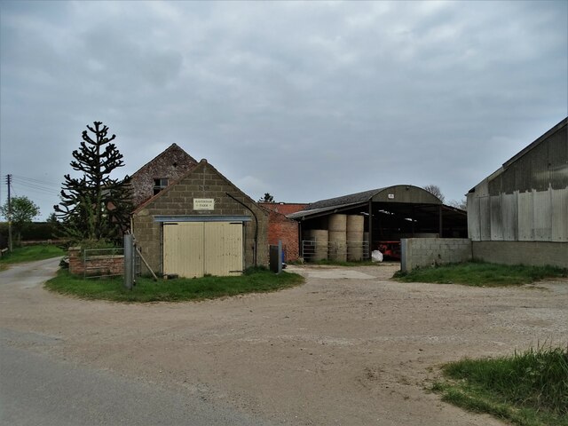
Crow Shaw is a picturesque village nestled in the heart of Yorkshire, England. Located amidst the stunning landscape of the Yorkshire Downs and Moorland, the village offers a serene and tranquil environment that attracts both locals and tourists alike.

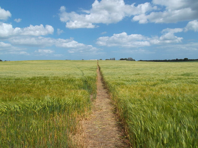
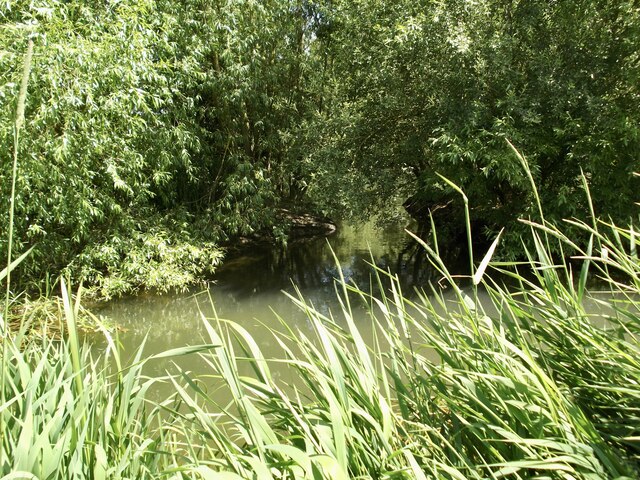
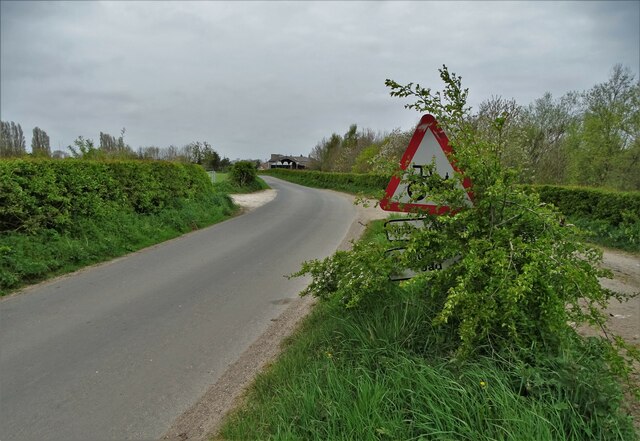
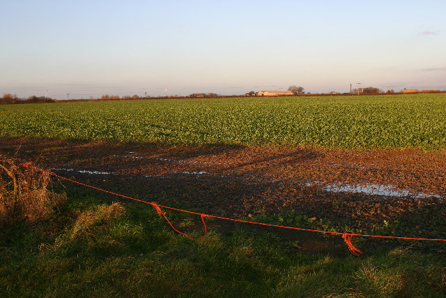
Surrounded by rolling green hills and heather-covered moors, Crow Shaw boasts breathtaking views that showcase the natural beauty of the region. The village is known for its idyllic countryside, dotted with charming stone cottages and traditional farmhouses. The local architecture reflects the region's rich history, with many buildings dating back several centuries.

The Yorkshire Downs, which encompass Crow Shaw, are renowned for their extensive network of footpaths and bridleways, making it a haven for outdoor enthusiasts. Visitors can indulge in activities such as hiking, horseback riding, and birdwatching, while immersing themselves in the tranquility of the moorland.

The village itself is small but vibrant, with a close-knit community that takes pride in its heritage. The locals are warm and welcoming, often organizing community events and festivals that celebrate the region's traditions and culture. The village also has a few quaint shops and traditional pubs, where visitors can sample local cuisine and beverages.

For those seeking a peaceful retreat in the heart of nature, Crow Shaw, Yorkshire (Downs, Moorland) offers an unforgettable experience. Its unspoiled landscapes, rich history, and friendly community make it a perfect destination for nature lovers and those looking to escape the hustle and bustle of city life.

If you have any feedback on the listing, please let us know in the comments section below.
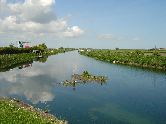
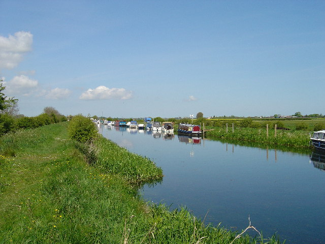
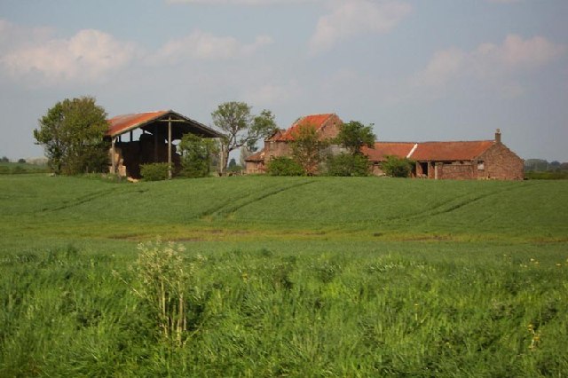
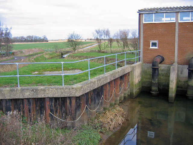
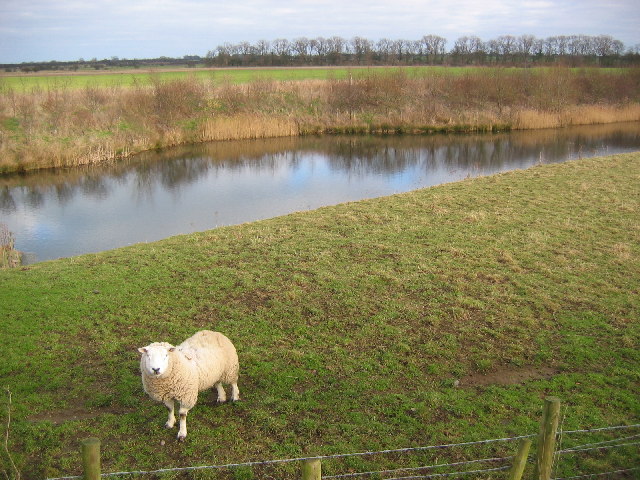
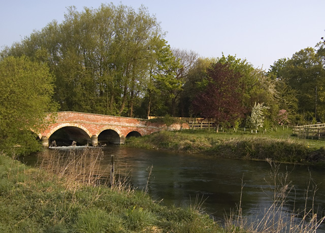
Crow Shaw Images

Images are sourced within 2km of 53.942298/-0.34597031 or Grid Reference TA0850. Thanks to Geograph Open Source API. All images are credited.

Well defined path!
Well defined path!
A small side channel on the River Hull Strangely it is not marked on the map but can be seen on an aerial view. Only just in the square!
A small side channel on the River Hull
Strangely it is not marked on the map but can be seen on an aerial view. Only just in the square!
Lay-by on the road to Hempholme
Hunt Hill Farm
Hunt Hill Farm
Haverham Farm, Hempholme
Lay-by and road sign to the east of Hempholme
River Hull - looking north from Bethell's Bridge
The old River Hull
The old River Hull
Farmland at North Frodingham Carrs Looking NE from position
Farmland at North Frodingham Carrs
Looking NE from position
Hempholme Lock This is one of the locks which maintain navigation on the River Hull.
Hempholme Lock
This is one of the locks which maintain navigation on the River Hull.
River Hull at Hempholme Lock River Hull looking north from Hempholme Lock.  Those that know the River Hull from the muddy mess in Hull may be surprised to see a clear chalk river.
River Hull at Hempholme Lock
River Hull looking north from Hempholme Lock. Those that know the River Hull from the muddy mess in Hull may be surprised to see a clear chalk river.
Leisure Craft on the River Hull Looking NE from 079505 near to Stuncheon Hill Farm - although both hills and stuncheons(?) seem to be lacking from the surrounding area.
Leisure Craft on the River Hull
Looking NE from 079505 near to Stuncheon Hill Farm - although both hills and stuncheons(?) seem to be lacking from the surrounding area.
Hunt Hill Farm View from the bottom SW corner of the grid square to Hunt Hill farm
Hunt Hill Farm
View from the bottom SW corner of the grid square to Hunt Hill farm
Bethells Bridge at Sunrise Taken at 5:12am, just as the sun was rising. There are now many boats moored at Bethells Bridge, but before 1960 it was just another bit of weedy bank. The photograph was taken from the bridge, facing away from the bridge keepers house (Swing Bridge Cottage). The area is often called Hempholme, which is actually a set of farmsteads just under a mile down the lane.
Bethells Bridge at Sunrise
Taken at 5:12am, just as the sun was rising. There are now many boats moored at Bethells Bridge, but before 1960 it was just another bit of weedy bank. The photograph was taken from the bridge, facing away from the bridge keepers house (Swing Bridge Cottage). The area is often called Hempholme, which is actually a set of farmsteads just under a mile down the lane.
Fish Holm Barn Fish Holm Barn is stuck between the high banks of the River Hull, and West Beck.
Fish Holm Barn
Fish Holm Barn is stuck between the high banks of the River Hull, and West Beck.
Near Hempholme Pumping Station Looking NW along the drain opposite the pumping station. This is a typical view of the farmland in this area.
Near Hempholme Pumping Station
Looking NW along the drain opposite the pumping station. This is a typical view of the farmland in this area.
Hempholme Pumping Station A typical view looking NE of the land in this area.
Hempholme Pumping Station
A typical view looking NE of the land in this area.
East of Hempholme Looking east, a typical view of this grid square which is all farmland.
East of Hempholme
Looking east, a typical view of this grid square which is all farmland.
Show me another place!

Crow Shaw is located at Grid Ref: TA0850 (Lat: 53.942298, Lng: -0.34597031)

Division: East Riding

Unitary Authority: East Riding of Yorkshire

Police Authority: Humberside

What 3 Words

///crossword.mailbox.lingering. Near Brandesburton, East Yorkshire

Related Wikis

Hempholme

Hempholme is a hamlet in the East Riding of Yorkshire, England, in an area known as Holderness. It is situated approximately 8 miles (13 km) north-east...

Bethells Bridge

Bethells Bridge, a swing bridge on the Driffield Navigation in the East Riding of Yorkshire, England. The bridge was built to access land cut off after...

Emmotland

Emmotland is a small hamlet in the East Riding of Yorkshire, England. It forms part of the civil parish of North Frodingham. The hamlet consists of two...

West Beck

West Beck is the common name given to the upper section of the old River Hull, as it rises in the foothills of the Yorkshire Wolds. After reaching Frodingham...

Nearby Amenities

Located within 500m of 53.942298,-0.34597031
The data included in this document is from www.openstreetmap.org. The data is made available under ODbL.

Have you been to Crow Shaw?

Leave your review of Crow Shaw below (or comments, questions and feedback).