Pitch Hill
Hill, Mountain in Surrey Waverley
England
Pitch Hill

The requested URL returned error: 429 Too Many Requests
If you have any feedback on the listing, please let us know in the comments section below.
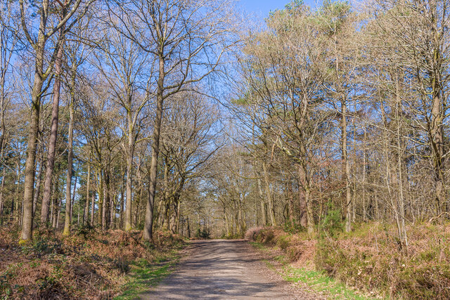
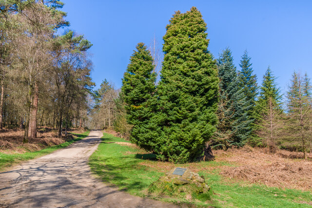
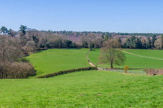
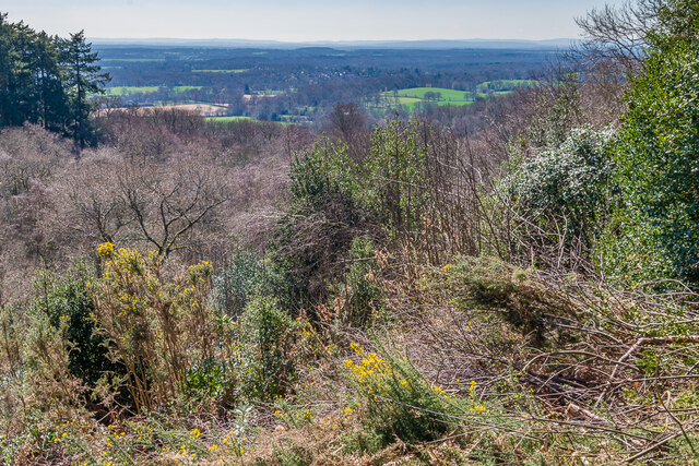
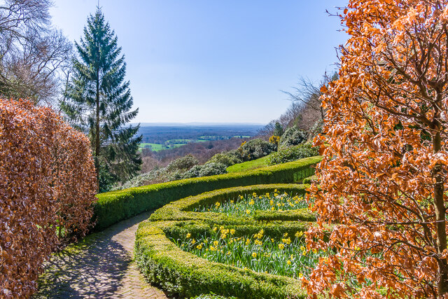
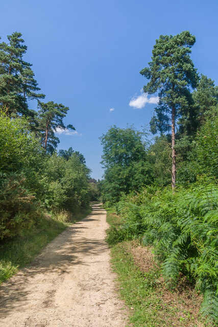
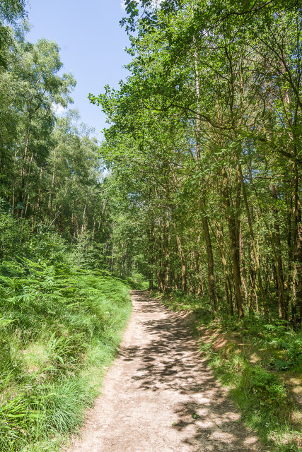
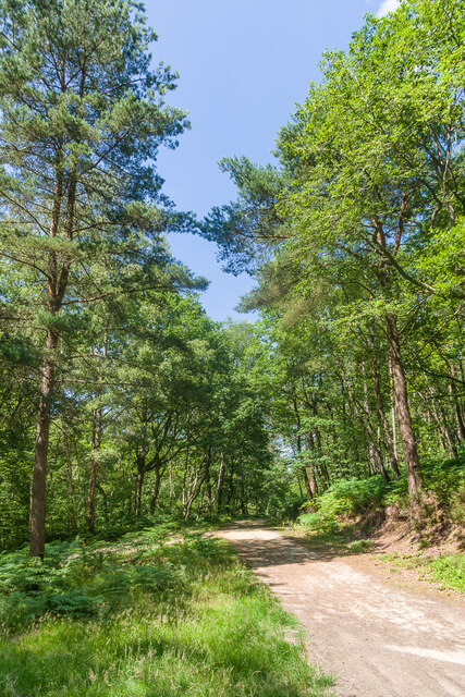
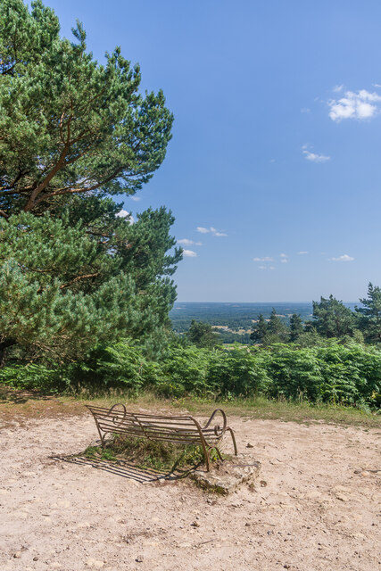
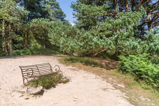
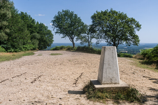
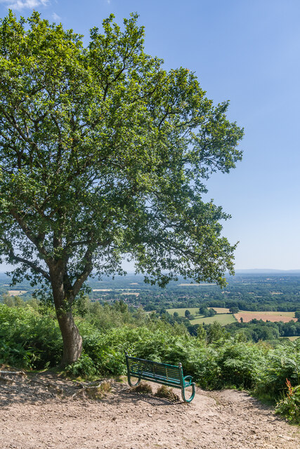
Pitch Hill Images
Images are sourced within 2km of 51.169988/-0.45314458 or Grid Reference TQ0842. Thanks to Geograph Open Source API. All images are credited.


Pitch Hill is located at Grid Ref: TQ0842 (Lat: 51.169988, Lng: -0.45314458)
Administrative County: Surrey
District: Waverley
Police Authority: Surrey
What 3 Words
///homes.sums.jokes. Near Ewhurst, Surrey
Nearby Locations
Related Wikis

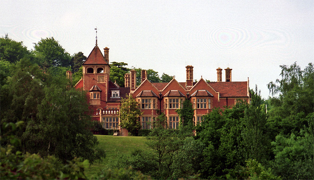
Marylands
Marylands is a Spanish-style country house on Pitch Hill, a rural part of Ewhurst, Surrey, England. It is a Grade II* listed building, designed during...

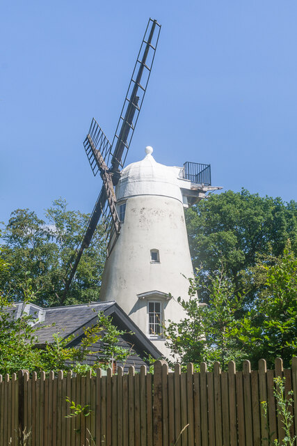
Hurt Wood Mill, Ewhurst
Hurt Wood Mill is a grade II* listed tower mill at Ewhurst, Surrey, England, which has been converted to residential use. == History == Hurt Wood Mill...
Duke of Kent School
Duke of Kent School is a coeducational, independent school for pupils aged 3–16 in Ewhurst, Surrey, England. It was formed in 1976 through the merger of...

Winterfold Forest
Winterfold Forest is a wooded area of the broadest plateau of the western Greensand Ridge in Surrey, England. It blends seamlessly into the Hurt Wood...
Nearby Amenities
Located within 500m of 51.169988,-0.45314458Have you been to Pitch Hill?
Leave your review of Pitch Hill below (or comments, questions and feedback).