Derby Hill
Hill, Mountain in Yorkshire
England
Derby Hill
Derby Hill is a prominent hill located in the county of Yorkshire, England. It is situated in the southern part of the county, near the market town of Harrogate. The hill stands at an elevation of approximately 400 meters (1,300 feet) above sea level, making it one of the highest points in the region.
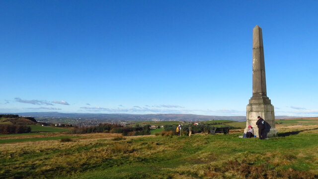
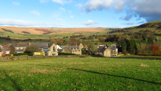
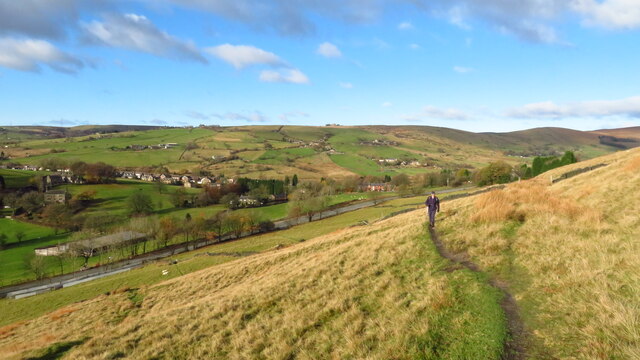
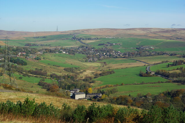
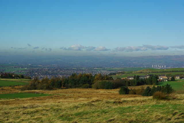
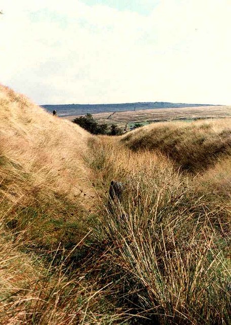
Derby Hill is part of the Nidderdale Area of Outstanding Natural Beauty, which is known for its stunning landscapes and diverse wildlife. The hill offers breathtaking panoramic views of the surrounding countryside, including the expansive Nidderdale Valley and the nearby Yorkshire Dales National Park. On clear days, it is even possible to see as far as the city of Leeds, which is located around 30 miles away.
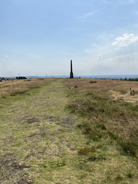
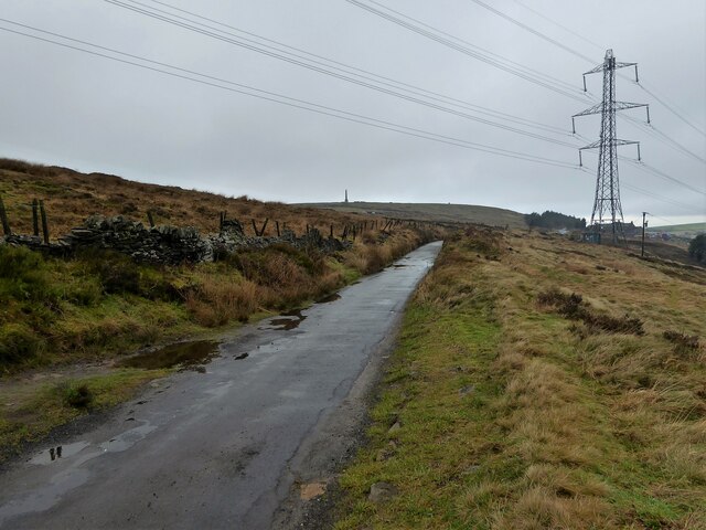
The hill is a popular destination for outdoor enthusiasts, hikers, and nature lovers. There are several well-marked trails that lead to the summit, providing visitors with the opportunity to explore the area's natural beauty and observe the local flora and fauna.
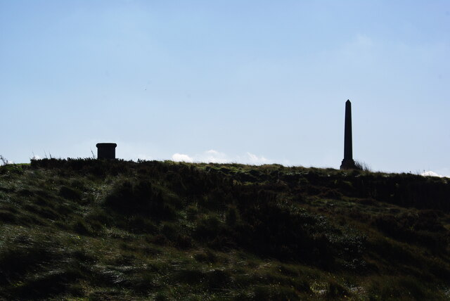
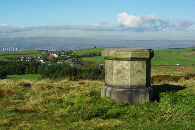
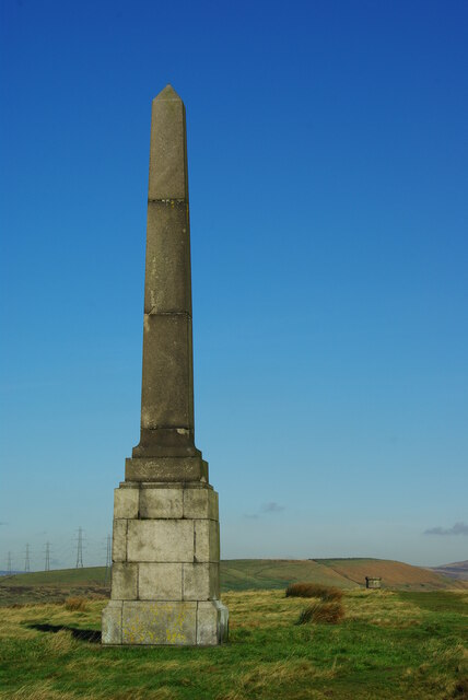
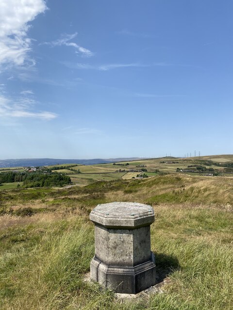
At the top of Derby Hill, visitors can find a trig point, which is a concrete pillar used in surveying. This serves as a landmark and a popular spot for taking photographs. There are also picnic areas and benches, allowing visitors to relax and enjoy the stunning views.
Overall, Derby Hill is a must-visit destination for those seeking to immerse themselves in the natural beauty of Yorkshire, offering a unique perspective of the region's diverse landscape and wildlife.
If you have any feedback on the listing, please let us know in the comments section below.
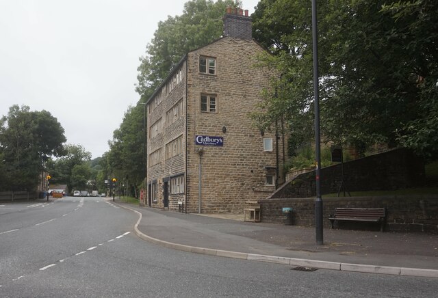
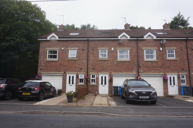
Derby Hill Images
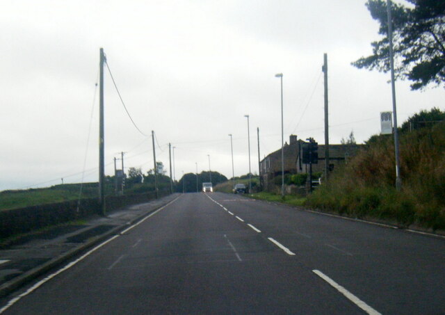
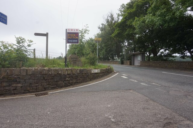
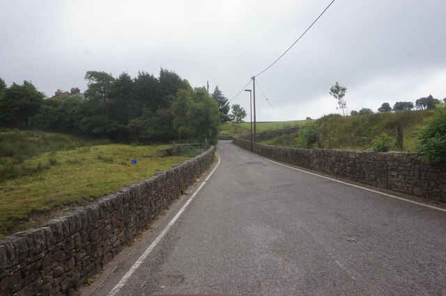
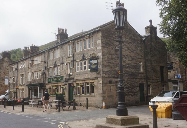
Images are sourced within 2km of 53.571175/-2.0298154 or Grid Reference SD9808. Thanks to Geograph Open Source API. All images are credited.

Derby Hill is located at Grid Ref: SD9808 (Lat: 53.571175, Lng: -2.0298154)
Division: West Riding
Unitary Authority: Oldham
Police Authority: Greater Manchester
What 3 Words
///reference.fumes.apply. Near Delph, Manchester
Nearby Locations
Related Wikis

Heights, Greater Manchester
Heights is a hamlet in the Saddleworth parish of the Metropolitan Borough of Oldham, in Greater Manchester, England. It is directly north of Delph, and...

Delph
Delph (Old English (ge)delf a quarry) is a village in the civil parish of Saddleworth in the Metropolitan Borough of Oldham, in Greater Manchester, England...
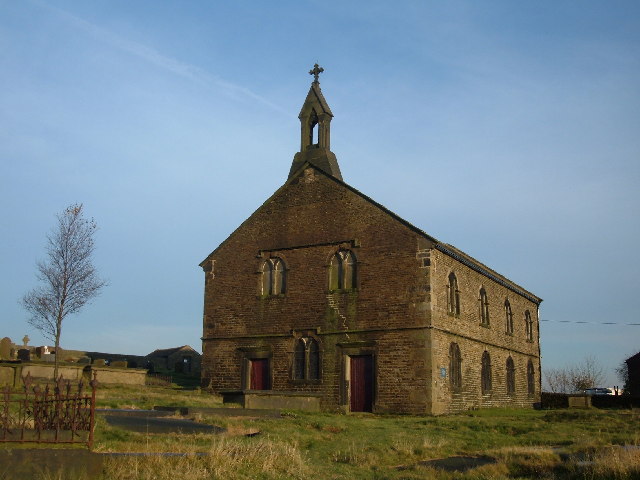
St Thomas' Church, Friarmere
St Thomas' Church, Friarmere, also known as Heights Chapel, is a redundant Anglican church standing on a hillside overlooking the village of Delph, Greater...

Delph railway station
Delph railway station served the village of Delph, Oldham, in what is now Greater Manchester, United Kingdom, between 1851 and 1955. == History == The...

Measurements Halt railway station
Measurements Halt railway station was opened on 18 July 1932 as part of the former London and North Western Railway route from Oldham to Delph. The station...

Dobcross
Dobcross is a village in the civil parish of Saddleworth in the Metropolitan Borough of Oldham in Greater Manchester, England. It is in a valley in the...
Dobcross railway station
Dobcross railway station served the village of Dobcross between 1912 and 1955. == History == The station was opened on 1 January 1912 as part of the London...
Castleshaw Roman Fort
Castleshaw Roman fort was a castellum in the Roman province of Britannia. Although there is no evidence to substantiate the claim, it has been suggested...
Nearby Amenities
Located within 500m of 53.571175,-2.0298154Have you been to Derby Hill?
Leave your review of Derby Hill below (or comments, questions and feedback).