Spring Wood
Wood, Forest in Yorkshire
England
Spring Wood
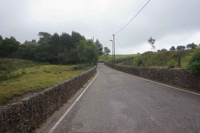
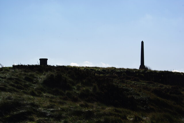
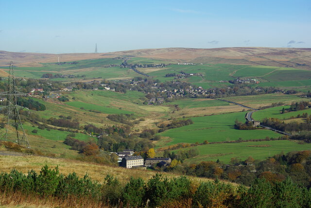
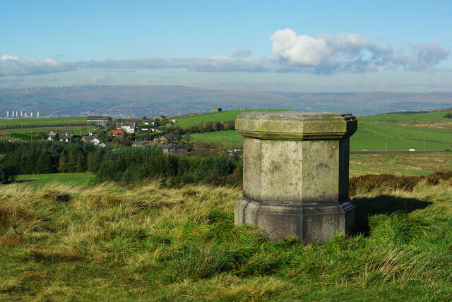
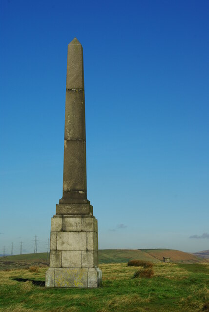
Spring Wood is a picturesque woodland located in the heart of Yorkshire, England. Covering an area of approximately 100 acres, this enchanting forest is known for its natural beauty and diverse wildlife. The woodland is situated on the outskirts of the village of Wood, providing a tranquil escape from the hustle and bustle of city life.
The wood is particularly captivating during the spring season when the surrounding area bursts into life with vibrant colors and the sweet scent of blooming flowers. It is home to a wide range of tree species, including oak, beech, and birch, which create a dense canopy of foliage that provides shade and shelter for the woodland creatures.
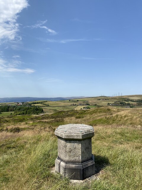
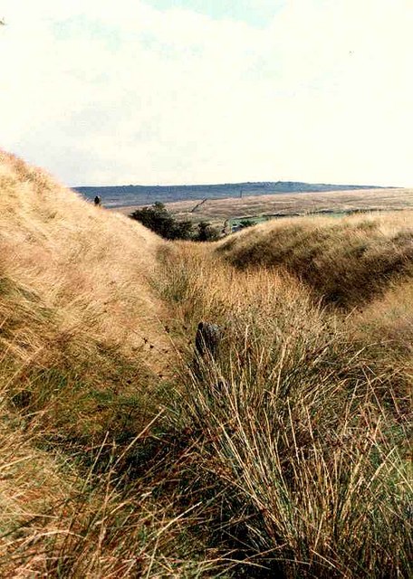
Walking through Spring Wood, visitors are greeted by a network of well-maintained trails that wind through the trees, allowing for exploration and discovery. The trails offer stunning views of the surrounding countryside and are suitable for both leisurely strolls and more adventurous hikes. Along the way, visitors may encounter various wildlife species, such as deer, rabbits, and a myriad of bird species.
The wood also boasts a small pond, which adds to the charm of the area and provides a habitat for aquatic animals and plants. The calmness of the pond creates a serene atmosphere, making it an ideal spot for reflection and relaxation.
Overall, Spring Wood, Yorkshire is a natural gem that offers visitors a unique opportunity to connect with nature and experience the tranquility of the English countryside.
If you have any feedback on the listing, please let us know in the comments section below.
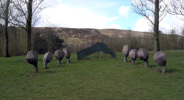
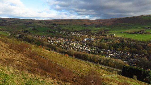
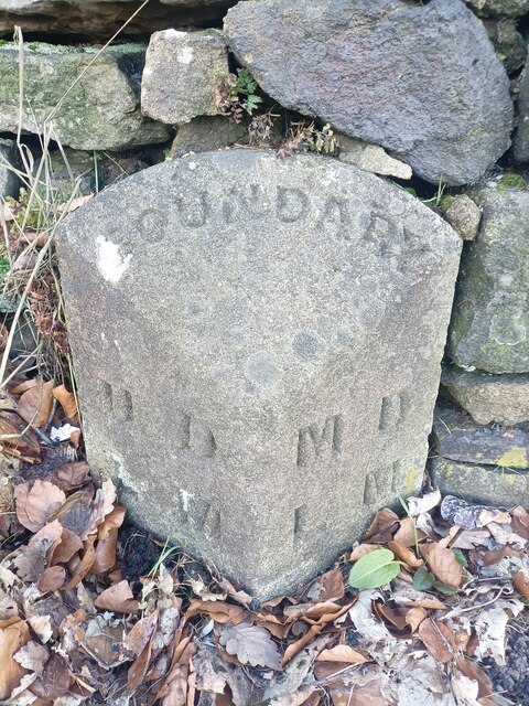
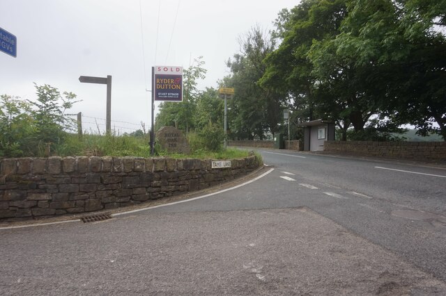
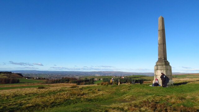
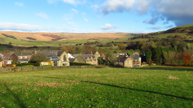
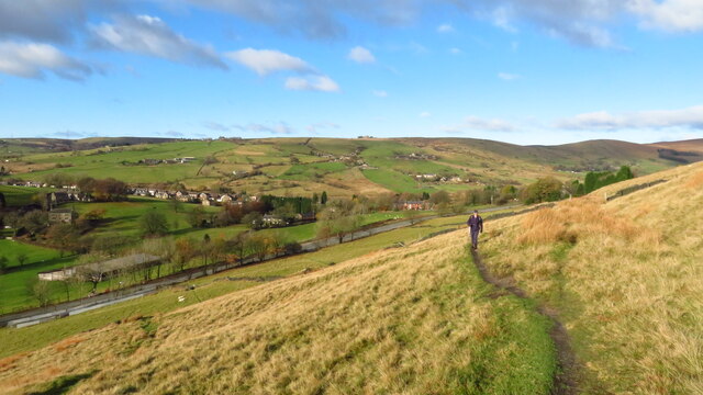
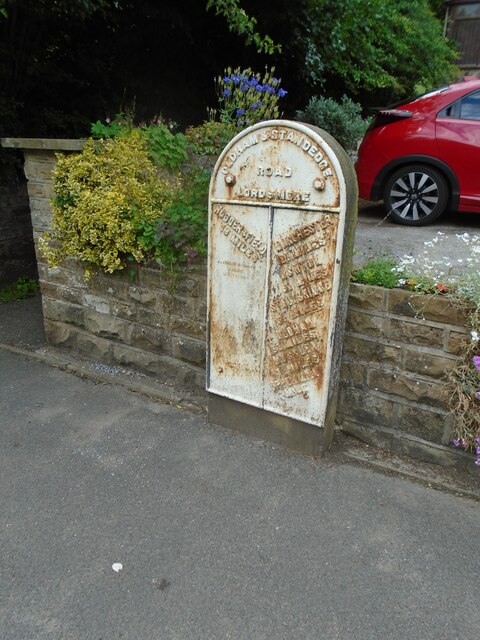
Spring Wood Images
Images are sourced within 2km of 53.570538/-2.0255415 or Grid Reference SD9808. Thanks to Geograph Open Source API. All images are credited.

Spring Wood is located at Grid Ref: SD9808 (Lat: 53.570538, Lng: -2.0255415)
Division: West Riding
Unitary Authority: Oldham
Police Authority: Greater Manchester
What 3 Words
///values.encroach.jotting. Near Delph, Manchester
Nearby Locations
Related Wikis

Delph
Delph (Old English (ge)delf a quarry) is a village in the civil parish of Saddleworth in the Metropolitan Borough of Oldham, in Greater Manchester, England...

Heights, Greater Manchester
Heights is a hamlet in the Saddleworth parish of the Metropolitan Borough of Oldham, in Greater Manchester, England. It is directly north of Delph, and...

Delph railway station
Delph railway station served the village of Delph, Oldham, in what is now Greater Manchester, United Kingdom, between 1851 and 1955. == History == The...
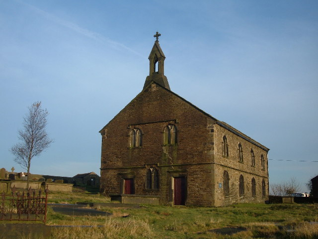
St Thomas' Church, Friarmere
St Thomas' Church, Friarmere, also known as Heights Chapel, is a redundant Anglican church standing on a hillside overlooking the village of Delph, Greater...

Measurements Halt railway station
Measurements Halt railway station was opened on 18 July 1932 as part of the former London and North Western Railway route from Oldham to Delph. The station...

Dobcross
Dobcross is a village in the civil parish of Saddleworth in the Metropolitan Borough of Oldham in Greater Manchester, England. It is in a valley in the...
Dobcross railway station
Dobcross railway station served the village of Dobcross between 1912 and 1955. == History == The station was opened on 1 January 1912 as part of the London...
Castleshaw Roman Fort
Castleshaw Roman fort was a castellum in the Roman province of Britannia. Although there is no evidence to substantiate the claim, it has been suggested...
Related Videos

Delph, Tame Valley Way and Heights, Saddleworth
This was a walk of discoveries in landscape history, nature and past memories. The Tame Valley river was strewn with the ...

Uppermill & Delph Donkey Line, Saddleworth
Starting from Uppermill, there are plenty of free car parks. We parked behind Saddleworth Civic Hall. With it being so cold and ...

The Diggle Valley Saddleworth Lancashire
This was a delightful easy going walk in a small local area of Diggle. There's a very small car park in Diggle near a bridge over the ...

Walk around the village of Uppermill
Sunny walk around the village of Uppermill.
Nearby Amenities
Located within 500m of 53.570538,-2.0255415Have you been to Spring Wood?
Leave your review of Spring Wood below (or comments, questions and feedback).