Cowdry's Coppice
Wood, Forest in Wiltshire
England
Cowdry's Coppice
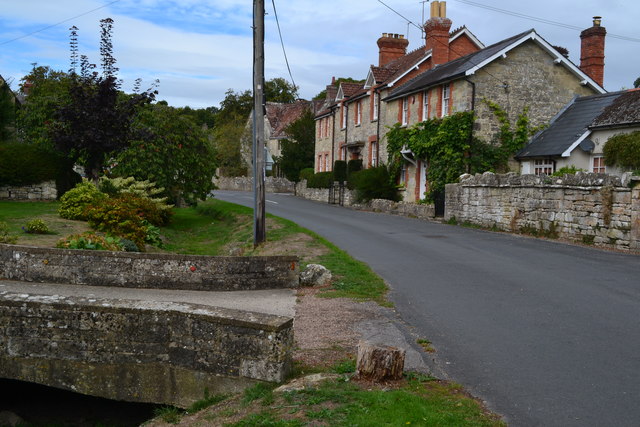
Cowdry's Coppice, located in Wiltshire, England, is a picturesque woodland area encompassing approximately 100 hectares. It is known for its diverse range of flora and fauna, making it a popular destination for nature enthusiasts and hikers alike.
The coppice is primarily composed of broadleaf trees, including oak, beech, and birch, creating a dense and verdant canopy that provides shelter and habitat for a variety of wildlife species. The forest floor boasts an array of wildflowers, such as bluebells, primroses, and wood anemones, which bloom in abundance during the spring months.
Traversing through the coppice, visitors can enjoy a network of well-maintained footpaths and trails, allowing for peaceful strolls or more challenging hikes. The paths wind their way through the woodland, offering stunning vistas of the surrounding countryside and occasional glimpses of native wildlife, such as deer, badgers, and a wide array of bird species.
Historically, Cowdry's Coppice was an important source of timber for the local community, with the practice of coppicing being carried out for centuries. This sustainable forestry technique involves periodically cutting trees at the base to stimulate new growth, ensuring a continuous supply of timber for various purposes.
Today, the coppice is managed by a local conservation trust, which aims to preserve the natural beauty and ecological significance of the area. It organizes guided walks, educational programs, and volunteer opportunities to engage the public in the conservation efforts and promote a deeper understanding of the woodland ecosystem.
Overall, Cowdry's Coppice is a captivating natural haven, offering a tranquil escape from the hustle and bustle of everyday life and providing a valuable habitat for a diverse range of flora and fauna.
If you have any feedback on the listing, please let us know in the comments section below.
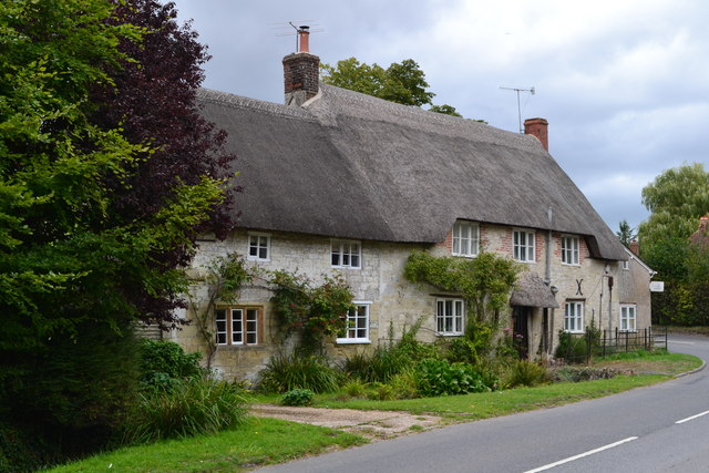
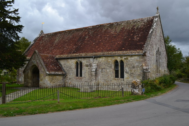
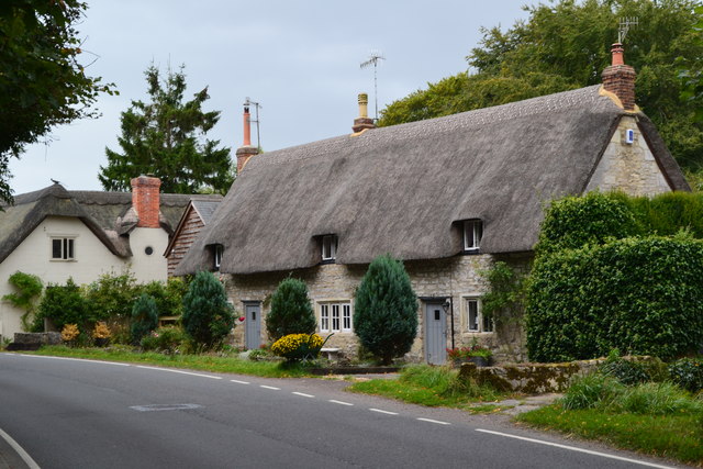
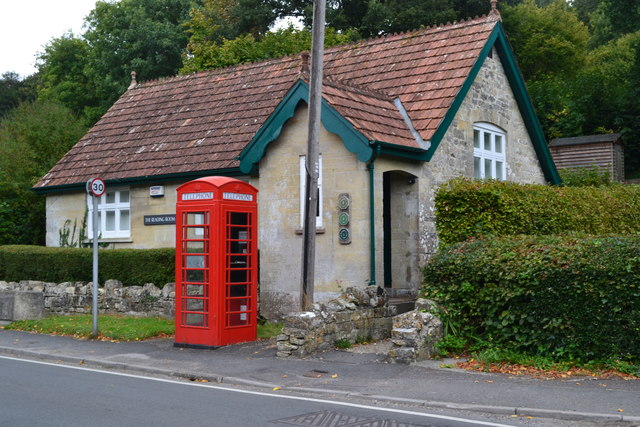
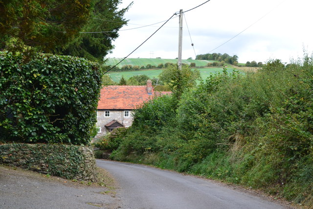
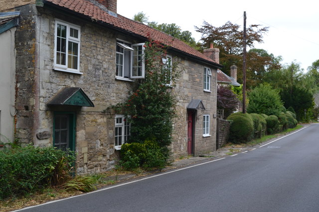
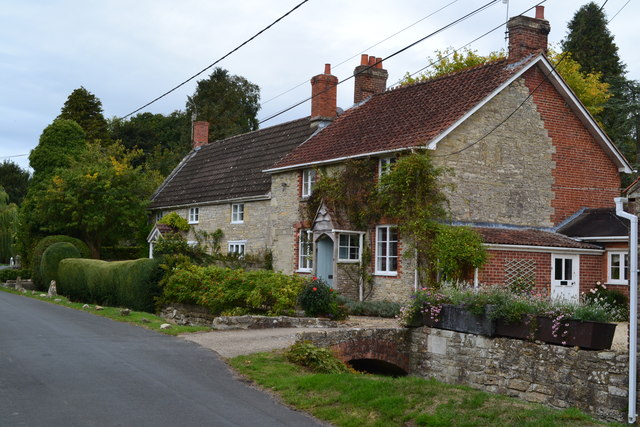
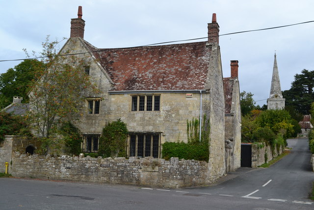
Cowdry's Coppice Images
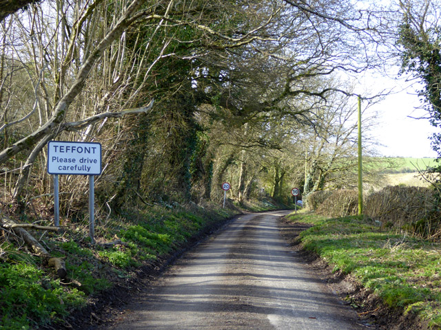
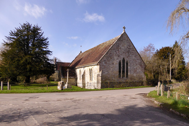
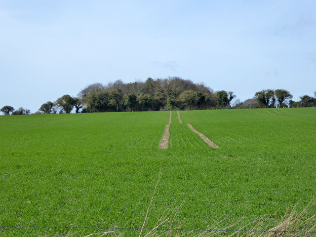
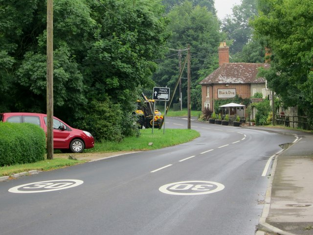
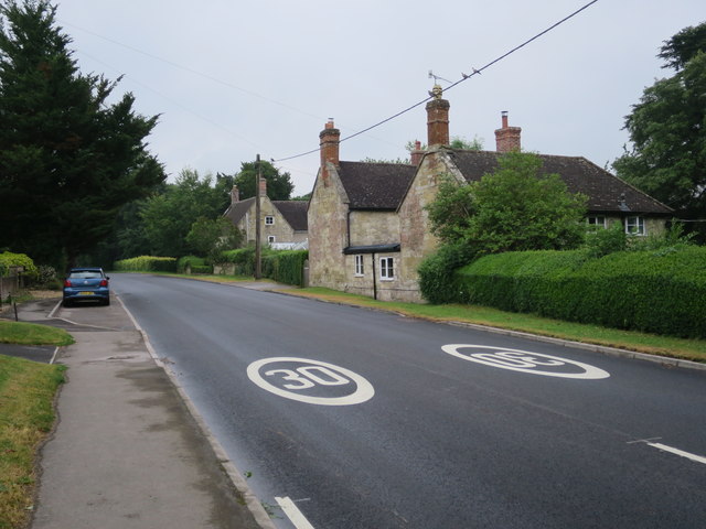
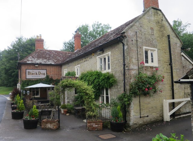
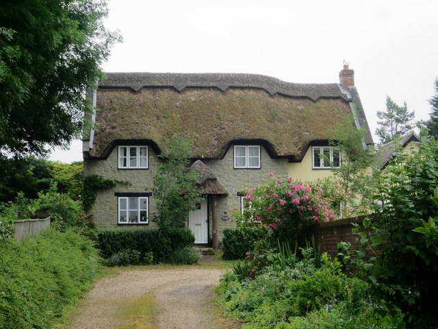
Images are sourced within 2km of 51.086989/-2.0241641 or Grid Reference ST9831. Thanks to Geograph Open Source API. All images are credited.

Cowdry's Coppice is located at Grid Ref: ST9831 (Lat: 51.086989, Lng: -2.0241641)
Unitary Authority: Wiltshire
Police Authority: Wiltshire
What 3 Words
///makeovers.contents.bluffing. Near Dinton, Wiltshire
Nearby Locations
Related Wikis

Teffont Magna
Teffont Magna, sometimes called Upper Teffont, is a small village and former civil parish, now in the parish of Teffont, in the Nadder valley in the south...

Teffont
Teffont is a civil parish in the south of Wiltshire, England, consisting of the villages of Teffont Magna and Teffont Evias. It is in the Nadder valley...

Teffont Evias
Teffont Evias is a small village and former civil parish, now in the parish of Teffont, on the Nadder valley in the south of Wiltshire, England. Edric...

Chilmark Quarries
Chilmark Quarries (grid reference ST974312) is a 9.65 hectare biological and geological Site of Special Scientific Interest (SSSI), in the ravine south...

Chilmark, Wiltshire
Chilmark is a Wiltshire village and civil parish of some 150 houses straddling the B3089 road, 11 miles (18 km) west of Salisbury, England. The parish...

Lower Chicksgrove
Lower Chicksgrove is a hamlet on the north bank of the River Nadder in the south of the county of Wiltshire, England, within the Vale of Wardour. It is...

Dinton Quarry
Dinton Quarry (grid reference SU006308) is a 3,000 square metre geological Site of Special Scientific Interest in Wiltshire, notified in 1990. This long...
Dinton Railway Cutting
Dinton Railway Cutting (grid reference SU008309) is a 2,600 square metre geological Site of Special Scientific Interest in Wiltshire, notified in 1990...
Nearby Amenities
Located within 500m of 51.086989,-2.0241641Have you been to Cowdry's Coppice?
Leave your review of Cowdry's Coppice below (or comments, questions and feedback).