Chescombe Bottom

Wood, Forest in Gloucestershire Cotswold

England

Chescombe Bottom

Farmland Coberley View to the west across farmland between Coberley and Cowley.
Farmland Coberley Credit: Philip Halling

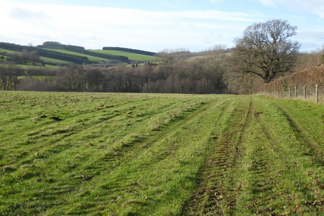
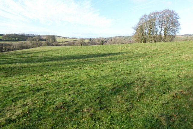
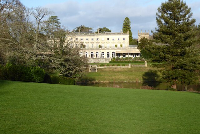
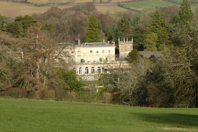
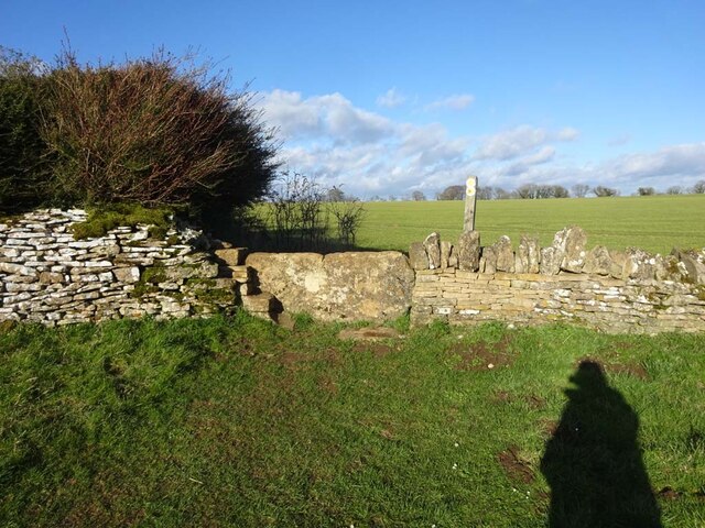
Chescombe Bottom is a picturesque woodland area located in Gloucestershire, England. It is nestled within the larger Forest of Dean, a renowned ancient woodland that covers over 110 square kilometers. The area is rich in biodiversity and offers a tranquil escape for nature enthusiasts and visitors seeking a peaceful retreat.

The bottom itself is a small valley formed by the Chescombe Brook, which runs through the heart of the woodland. The brook adds to the charm of the area, providing a soothing soundtrack as it meanders through the trees and creates small cascades and pools. The sound of birdsong fills the air, enhancing the peaceful ambiance of the place.

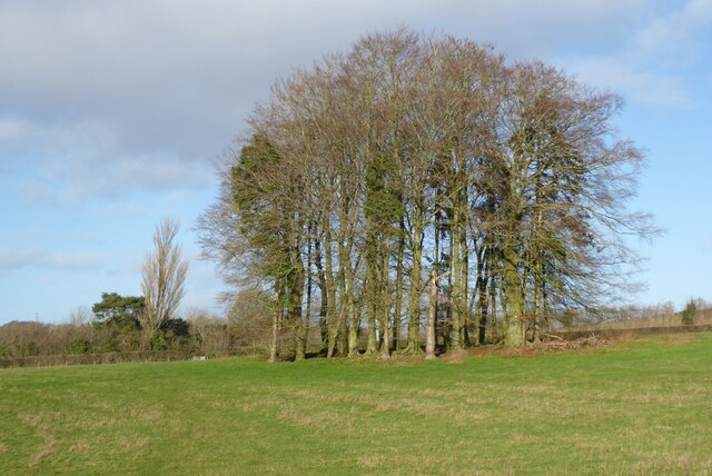
The woodland is predominantly composed of native broadleaf trees, such as oak, beech, and ash. These majestic trees provide a dense canopy that filters the sunlight, creating a cool and shady environment even on hot summer days. The forest floor is carpeted with a variety of wildflowers, ferns, and mosses, adding vibrant colors to the green surroundings.

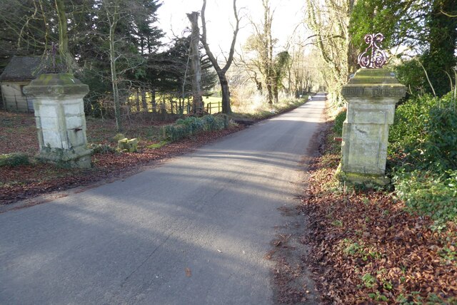
Chescombe Bottom offers a network of well-maintained walking trails, allowing visitors to explore the woodland at their leisure. These trails cater to different abilities and interests, from short strolls to longer hikes. Along the way, visitors may encounter wildlife such as deer, badgers, and a diverse range of bird species.

Overall, Chescombe Bottom in Gloucestershire is a true gem within the Forest of Dean. Its tranquil woodland setting, diverse flora and fauna, and well-marked trails make it a perfect destination for nature lovers and those seeking a peaceful retreat in the heart of nature.

If you have any feedback on the listing, please let us know in the comments section below.

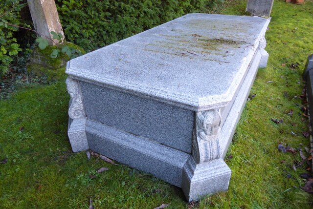
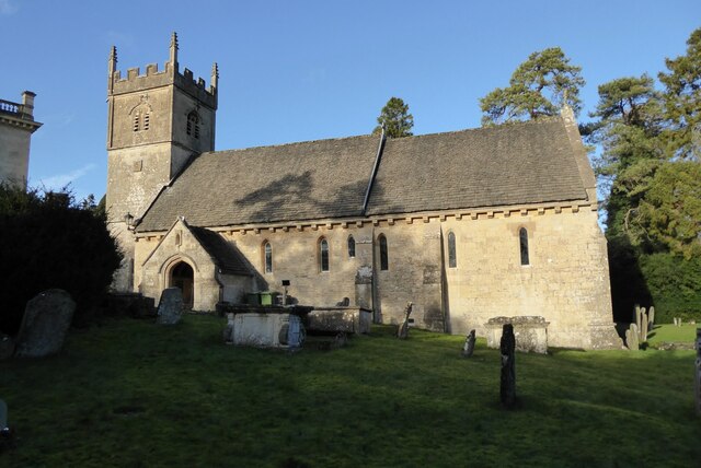
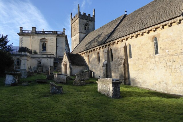
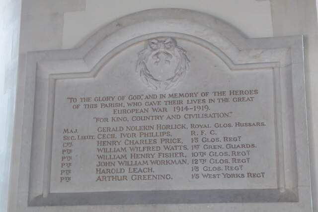
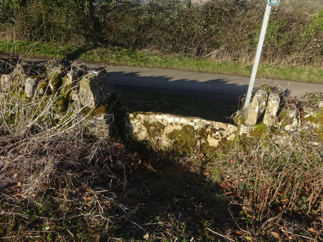
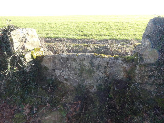
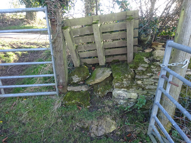
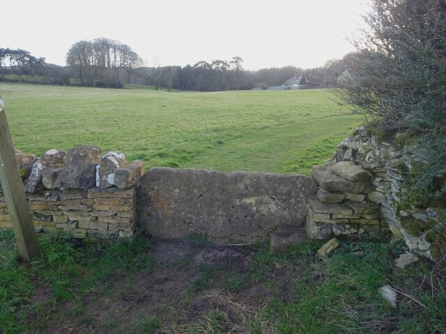
Chescombe Bottom Images

Images are sourced within 2km of 51.82647/-2.0245621 or Grid Reference SO9814. Thanks to Geograph Open Source API. All images are credited.

Farmland Coberley View to the west across farmland between Coberley and Cowley.
Farmland Coberley
View to the west across farmland between Coberley and Cowley.
Clump of trees Clump of trees beside a footpath between Cowley and Coberley.
Clump of trees
Clump of trees beside a footpath between Cowley and Coberley.
Field at Cowley in the Churn valley This field between Cowley and Coberley was the site of a Channel 4 'Time Team' dig.  The programme was entitled "Mysteries of the Mosaic" in which they unearthed mosaics and a Roman villa.  The site is a scheduled monument, see: <span class="nowrap"><a title="https://historicengland.org.uk/listing/the-list/list-entry/1405896" rel="nofollow ugc noopener" href="https://historicengland.org.uk/listing/the-list/list-entry/1405896">Link</a><img style="margin-left:2px;" alt="External link" title="External link - shift click to open in new window" src="https://s1.geograph.org.uk/img/external.png" width="10" height="10"/></span>
Field at Cowley in the Churn valley
This field between Cowley and Coberley was the site of a Channel 4 'Time Team' dig. The programme was entitled "Mysteries of the Mosaic" in which they unearthed mosaics and a Roman villa. The site is a scheduled monument, see: LinkExternal link
Gate pillars on the road to Cowley This pair of gate pillars flank this road at its junction with the A435.  The road leads to Cowley and originally this was a private drive to a manor.  There used to be a lodge to the left but it was demolished in the 1960s.
Gate pillars on the road to Cowley
This pair of gate pillars flank this road at its junction with the A435. The road leads to Cowley and originally this was a private drive to a manor. There used to be a lodge to the left but it was demolished in the 1960s.
Grave of Sir James Horlick, 1st Baronet Grave of Sir James Horlick, 1st Baronet in Cowley churchyard.  He lived in Cowley Manor which is next to the church and now a luxury hotel.  James and his brother William were born in Ruardean in the Forest of Dean and went off to the United States where they developed the Horlicks brand.
Grave of Sir James Horlick, 1st Baronet
Grave of Sir James Horlick, 1st Baronet in Cowley churchyard. He lived in Cowley Manor which is next to the church and now a luxury hotel. James and his brother William were born in Ruardean in the Forest of Dean and went off to the United States where they developed the Horlicks brand.
Cowley church Cowling church is dedicated to St Mary.  The church dates from the 13th century and is Grade II* listed, see: <span class="nowrap"><a title="https://historicengland.org.uk/listing/the-list/list-entry/1340154?section=official-listing" rel="nofollow ugc noopener" href="https://historicengland.org.uk/listing/the-list/list-entry/1340154?section=official-listing">Link</a><img style="margin-left:2px;" alt="External link" title="External link - shift click to open in new window" src="https://s1.geograph.org.uk/img/external.png" width="10" height="10"/></span>
Cowley church
Cowling church is dedicated to St Mary. The church dates from the 13th century and is Grade II* listed, see: LinkExternal link
Cowley church and Cowley Manor Hotel St Mary's church which is situated next to Cowley Manor  Hotel which can be seen in the background.
Cowley church and Cowley Manor Hotel
St Mary's church which is situated next to Cowley Manor Hotel which can be seen in the background.
War memorial in Cowley church A World War I war memorial which is in Cowley church.  It is interesting at the time of the memorial the war was usually known as the Great War, this memorial calls it the 'Great European War' which is contradictory as the first name on the memorial Maj. Gerald Nolekin Horlick is buried in Alexandria in Egypt.  He was the son of Sir James Horlick who lived in Cowley Manor.
War memorial in Cowley church
A World War I war memorial which is in Cowley church. It is interesting at the time of the memorial the war was usually known as the Great War, this memorial calls it the 'Great European War' which is contradictory as the first name on the memorial Maj. Gerald Nolekin Horlick is buried in Alexandria in Egypt. He was the son of Sir James Horlick who lived in Cowley Manor.
Cowley Manor Hotel Cowley Manor is now a 5 star hotel See: <span class="nowrap"><a title="https://www.cowleymanor.com/" rel="nofollow ugc noopener" href="https://www.cowleymanor.com/">Link</a><img style="margin-left:2px;" alt="External link" title="External link - shift click to open in new window" src="https://s1.geograph.org.uk/img/external.png" width="10" height="10"/></span>. This impressive country house was almost entirely rebuilt in 1855-7 for James Hutchinson, a London Stockbroker. The design was by George Somers Clarke who built the new house on the site of an earlier 1695 house of Henry Brett. St Mary's church, Cowley, is in the grounds of Cowley Manor and can be seen on the right.  The building is Grade II listed, see: <span class="nowrap"><a title="https://historicengland.org.uk/listing/the-list/list-entry/1340155?section=official-listing" rel="nofollow ugc noopener" href="https://historicengland.org.uk/listing/the-list/list-entry/1340155?section=official-listing">Link</a><img style="margin-left:2px;" alt="External link" title="External link - shift click to open in new window" src="https://s1.geograph.org.uk/img/external.png" width="10" height="10"/></span>
Cowley Manor Hotel
Cowley Manor is now a 5 star hotel See: LinkExternal link. This impressive country house was almost entirely rebuilt in 1855-7 for James Hutchinson, a London Stockbroker. The design was by George Somers Clarke who built the new house on the site of an earlier 1695 house of Henry Brett. St Mary's church, Cowley, is in the grounds of Cowley Manor and can be seen on the right. The building is Grade II listed, see: LinkExternal link
Cowley Manor Hotel Cowley Manor is now a 5 star hotel See: <span class="nowrap"><a title="https://www.cowleymanor.com/" rel="nofollow ugc noopener" href="https://www.cowleymanor.com/">Link</a><img style="margin-left:2px;" alt="External link" title="External link - shift click to open in new window" src="https://s1.geograph.org.uk/img/external.png" width="10" height="10"/></span> This impressive country house was almost entirely rebuilt in 1855-7 for James Hutchinson, a London Stockbroker. The design was by George Somers Clarke who built the new house on the site of an earlier 1695 house of Henry Brett. St Mary's church, Cowley, is in the grounds of Cowley Manor and can be seen on the right.  The building is Grade II listed, see: <span class="nowrap"><a title="https://historicengland.org.uk/listing/the-list/list-entry/1340155?section=official-listing" rel="nofollow ugc noopener" href="https://historicengland.org.uk/listing/the-list/list-entry/1340155?section=official-listing">Link</a><img style="margin-left:2px;" alt="External link" title="External link - shift click to open in new window" src="https://s1.geograph.org.uk/img/external.png" width="10" height="10"/></span>  The tower of St Mary's church can be seen on the right.
Cowley Manor Hotel
Cowley Manor is now a 5 star hotel See: LinkExternal link This impressive country house was almost entirely rebuilt in 1855-7 for James Hutchinson, a London Stockbroker. The design was by George Somers Clarke who built the new house on the site of an earlier 1695 house of Henry Brett. St Mary's church, Cowley, is in the grounds of Cowley Manor and can be seen on the right. The building is Grade II listed, see: LinkExternal link The tower of St Mary's church can be seen on the right.
Cross inside Cowley church Until 2010 this wooden cross which was covered with lead and was on the roof of Cowley church.  When the church was being re-roofed it was taken down and found to be in poor condition and replaced.
Cross inside Cowley church
Until 2010 this wooden cross which was covered with lead and was on the roof of Cowley church. When the church was being re-roofed it was taken down and found to be in poor condition and replaced.
Font in Cowley church
Stone Stile, Elkstone East of Highcross (crossroads) off an u/c road on Gloucestershire footpath BEL18. This is looking to the road, the view from the road is <a href="https://www.geograph.org.uk/photo/7104666">SO9713 : Stone Stile, Elkstone</a>.
Stone Stile, Elkstone
East of Highcross (crossroads) off an u/c road on Gloucestershire footpath BEL18. This is looking to the road, the view from the road is SO9713 : Stone Stile, Elkstone.
Stone Stile, Elkstone East of Highcross (crossroads) off an u/c road on Gloucestershire footpath BEL18. This is looking from the road, the view from the field is <a href="https://www.geograph.org.uk/photo/7104664">SO9713 : Stone Stile, Elkstone</a>.
Stone Stile, Elkstone
East of Highcross (crossroads) off an u/c road on Gloucestershire footpath BEL18. This is looking from the road, the view from the field is SO9713 : Stone Stile, Elkstone.
Stone Stile, Elkstone A "Fallen Idle", remains of a slab stile next to a gateway. East of Highcross off an u/c road on Gloucestershire footpath BEL19.
Stone Stile, Elkstone
A "Fallen Idle", remains of a slab stile next to a gateway. East of Highcross off an u/c road on Gloucestershire footpath BEL19.
Stone Stile, Elkstone On Gloucestershire footpaths BEL16 & BEL18 immediately East of a cottage called Ward Hay. This is the view looking South, the view North is <a href="https://www.geograph.org.uk/photo/7104821">SO9712 : Stone Stile, Elkstone</a>.
Stone Stile, Elkstone
On Gloucestershire footpaths BEL16 & BEL18 immediately East of a cottage called Ward Hay. This is the view looking South, the view North is SO9712 : Stone Stile, Elkstone.
Stone Stile, Elkstone On Gloucestershire footpaths BEL16 & BEL18 immediately East of a cottage called Ward Hay. This is the view looking North, the view South is <a href="https://www.geograph.org.uk/photo/7104819">SO9712 : Stone Stile, Elkstone</a>.
Stone Stile, Elkstone
On Gloucestershire footpaths BEL16 & BEL18 immediately East of a cottage called Ward Hay. This is the view looking North, the view South is SO9712 : Stone Stile, Elkstone.
Cowley, St Mary
Cowley, St Mary
Show me another place!

Chescombe Bottom is located at Grid Ref: SO9814 (Lat: 51.82647, Lng: -2.0245621)

Administrative County: Gloucestershire

District: Cotswold

Police Authority: Gloucestershire

What 3 Words

///expansion.poetry.crawled. Near Charlton Kings, Gloucestershire

Related Wikis

Cockleford Marsh

Cockleford Marsh (grid reference SO977133) is a 3.2-hectare (7.9-acre) biological Site of Special Scientific Interest in Gloucestershire, notified in 1991...

Colesbourne

Colesbourne is a village and civil parish in the Cotswold district of Gloucestershire, England. The village and parish lies within the Cotswolds, a designated...

Cowley, Gloucestershire

Cowley is a village and civil parish in the Cotswold District of Gloucestershire, England. It lies between the A417 and A435 roads between Cheltenham...

Church of St John the Evangelist, Elkstone

The Anglican Church of St John the Evangelist at Elkstone in the Cotswold District of Gloucestershire, England was built in the 12th century. It is a grade...

Elkstone

Elkstone is a village and civil parish in the English county of Gloucestershire. In the 2001 United Kingdom census, the parish had a population of 203...

Coberley

Coberley is a village and civil parish in the Cotswold District of Gloucestershire in England, 4 miles (6.4 km) south of Cheltenham. It lies at the confluence...

Cotswolds

The Cotswolds ( KOTS-wohldz, KOTS-wəldz) is a region in central-southwest England, along a range of rolling hills that rise from the meadows of the upper...

Seven Springs, Gloucestershire

Seven Springs is a hamlet in the heavily wooded parish of Coberley in the Cotswold District of Gloucestershire in England, 4 miles (6.4 km) south of Cheltenham...

Nearby Amenities

Located within 500m of 51.82647,-2.0245621
Power: tower
Source: bing
Lat/Long: 51.8272398/-2.0305781
Power: tower
Source: bing
Lat/Long: 51.8240526/-2.027948
Westbury Farm Pump
Power: pole
Transformer: distribution
Voltage Primary: 11000
Lat/Long: 51.8227204/-2.0271117
The data included in this document is from www.openstreetmap.org. The data is made available under ODbL.

Have you been to Chescombe Bottom?

Leave your review of Chescombe Bottom below (or comments, questions and feedback).