Upper Holt
Wood, Forest in Wiltshire
England
Upper Holt
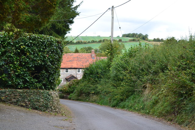
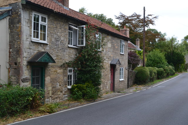
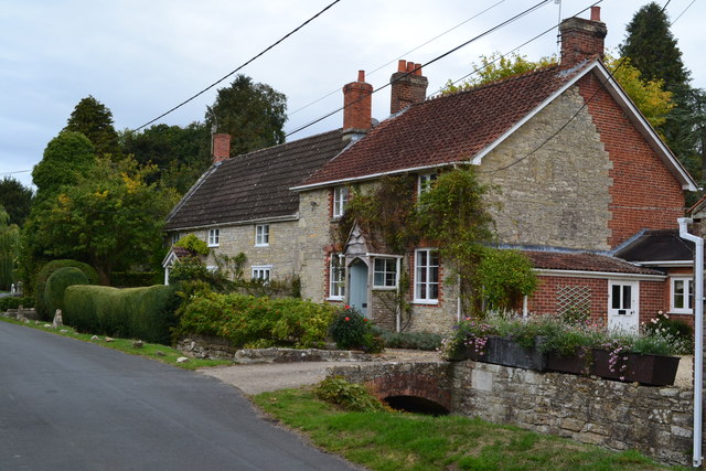
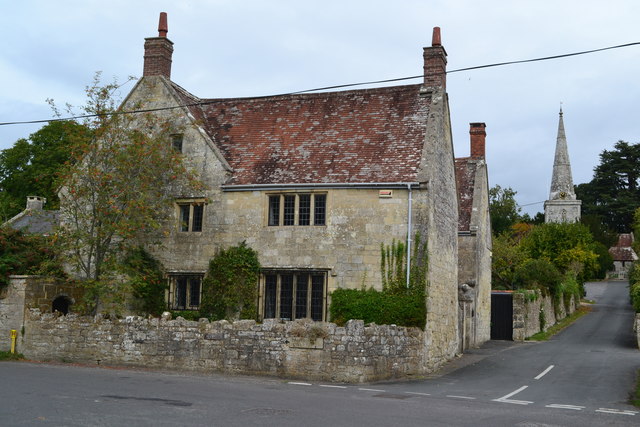
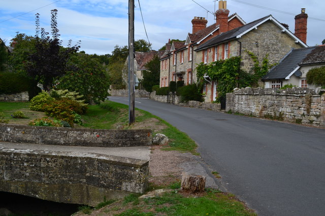
Upper Holt is a small village located in the county of Wiltshire, England. Situated in the heart of the countryside, it is known for its lush woodlands and picturesque forests, making it an idyllic location for nature enthusiasts and outdoor lovers. The village is nestled within the Cranborne Chase and West Wiltshire Downs Area of Outstanding Natural Beauty, ensuring residents and visitors alike are treated to breathtaking views and a serene atmosphere.
The woodlands surrounding Upper Holt are predominantly composed of indigenous tree species such as oak, beech, and ash, creating a diverse ecosystem that supports a wide range of flora and fauna. The forested areas are home to various bird species, including woodpeckers, owls, and songbirds, as well as mammals like deer, foxes, and badgers.
In addition to its natural beauty, Upper Holt offers a range of recreational activities for visitors. There are numerous walking and cycling trails that wind through the woodlands, allowing visitors to explore the area's stunning scenery and discover hidden gems along the way. The village also boasts a number of picnic spots, providing the perfect opportunity to relax and enjoy a meal amidst nature.
Despite its rural setting, Upper Holt is conveniently located within close proximity to nearby towns and amenities. The village is just a short drive away from the market town of Warminster, which offers a variety of shops, restaurants, and leisure facilities.
Overall, Upper Holt in Wiltshire is a charming village that offers a tranquil escape from the hustle and bustle of city life. With its enchanting woodlands and abundant wildlife, it is a haven for nature lovers and a perfect destination for those seeking a peaceful retreat.
If you have any feedback on the listing, please let us know in the comments section below.
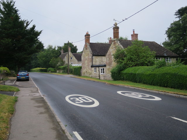
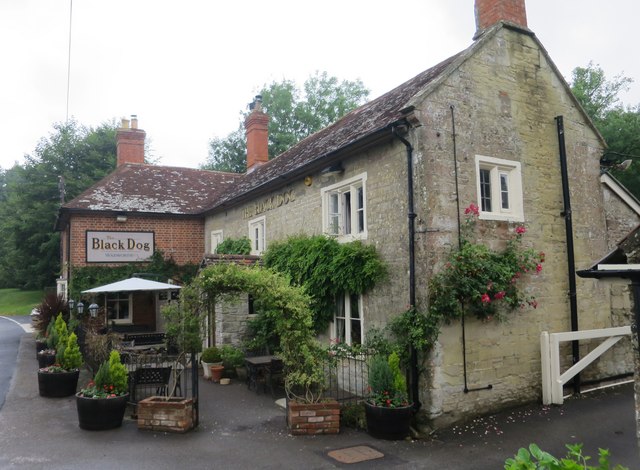
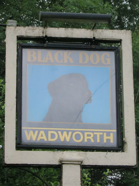
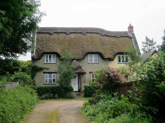
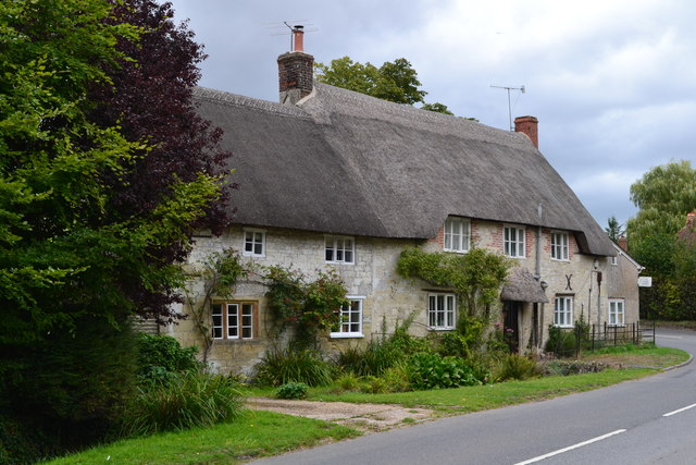
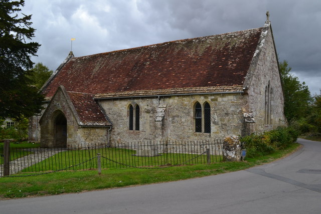
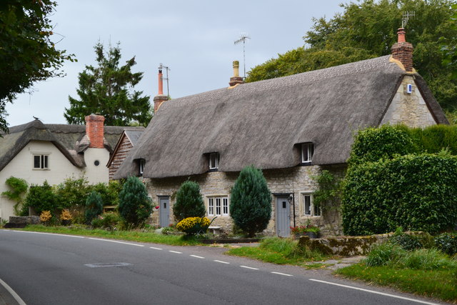
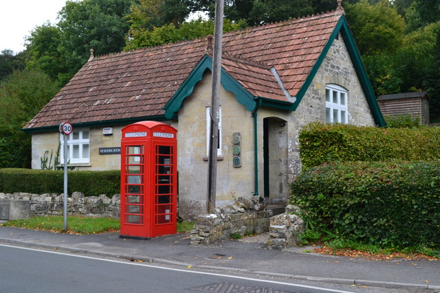
Upper Holt Images
Images are sourced within 2km of 51.084866/-2.0249339 or Grid Reference ST9831. Thanks to Geograph Open Source API. All images are credited.

Upper Holt is located at Grid Ref: ST9831 (Lat: 51.084866, Lng: -2.0249339)
Unitary Authority: Wiltshire
Police Authority: Wiltshire
What 3 Words
///luggage.starlight.starlight. Near Dinton, Wiltshire
Nearby Locations
Related Wikis

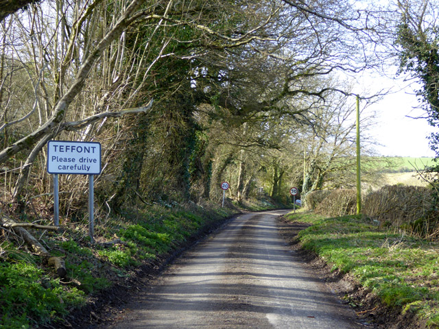
Teffont
Teffont is a civil parish in the south of Wiltshire, England, consisting of the villages of Teffont Magna and Teffont Evias. It is in the Nadder valley...

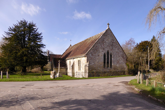
Teffont Evias
Teffont Evias is a small village and former civil parish, now in the parish of Teffont, on the Nadder valley in the south of Wiltshire, England. Edric...

Teffont Magna
Teffont Magna, sometimes called Upper Teffont, is a small village and former civil parish, now in the parish of Teffont, in the Nadder valley in the south...

Chilmark Quarries
Chilmark Quarries (grid reference ST974312) is a 9.65 hectare biological and geological Site of Special Scientific Interest (SSSI), in the ravine south...

Chilmark, Wiltshire
Chilmark is a Wiltshire village and civil parish of some 150 houses straddling the B3089 road, 11 miles (18 km) west of Salisbury, England. The parish...

Lower Chicksgrove
Lower Chicksgrove is a hamlet on the north bank of the River Nadder in the south of the county of Wiltshire, England, within the Vale of Wardour. It is...

Dinton Quarry
Dinton Quarry (grid reference SU006308) is a 3,000 square metre geological Site of Special Scientific Interest in Wiltshire, notified in 1990. This long...

Lady Down Quarry
Lady Down Quarry (grid reference ST961307) is a 2,300 square metre geological Site of Special Scientific Interest in the northeast of Tisbury parish in...
Related Videos

Walk | Dinton Wiltshire | April 2023
Dinton Park and Philipps House. Built between 1814-17 for William Wyndham and designed by Sir Jeffry Wyatville. No access to ...

Team Rubicon UK International Ops Training
Team Rubicon UK International Ops Training. I joined Team Rubicon officially as a 'Greyshirt' this summer (2019). I attended their ...
Chilmark Transfer Station & Bunkers 4K
In 1936 the quarries, and land extending further down the ravine, were bought by the Air Ministry and the site became RAF ...
Nearby Amenities
Located within 500m of 51.084866,-2.0249339Have you been to Upper Holt?
Leave your review of Upper Holt below (or comments, questions and feedback).