Dale
Settlement in Yorkshire
England
Dale
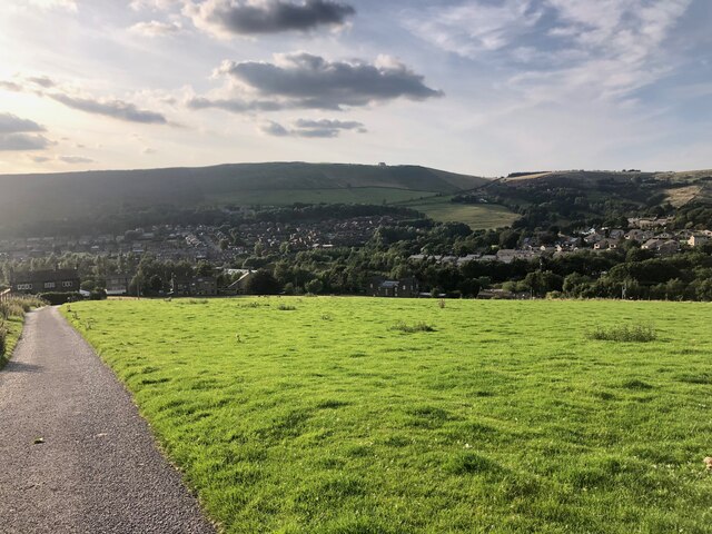
Dale is a small village located in the beautiful countryside of Yorkshire, England. Nestled within the Yorkshire Dales National Park, it is renowned for its picturesque landscapes, charming stone-built houses, and traditional rural atmosphere. The village is situated in the southern region of the national park, about 10 miles north of the market town of Skipton.
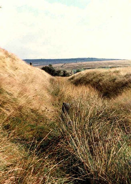
With a population of around 400 residents, Dale offers a peaceful and idyllic setting for those seeking a tranquil escape from the bustling city life. Surrounded by rolling hills, green meadows, and meandering rivers, it provides ample opportunities for outdoor activities such as hiking, cycling, and fishing. The village is also known for its rich wildlife, including various species of birds, mammals, and plants.
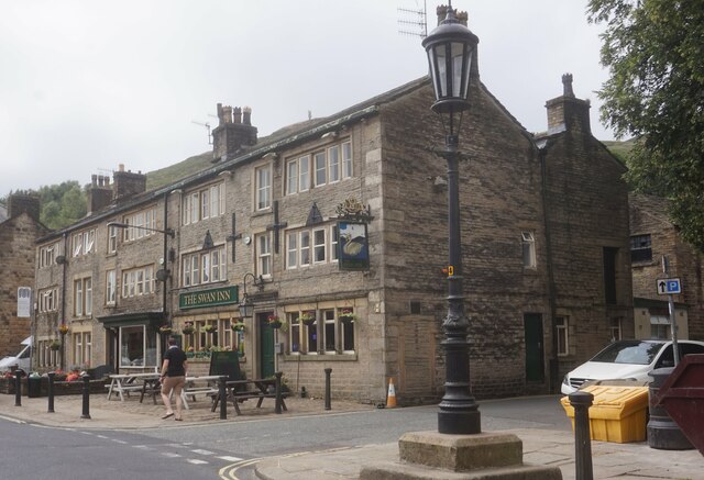
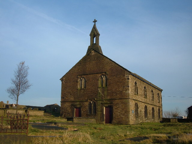
In terms of amenities, Dale has a few local shops and a pub, serving as a social hub for both locals and visitors. The village retains its traditional character, with many of its buildings dating back centuries, including the beautiful St. Mary's Church, which stands as a testament to its historical significance.
Moreover, Dale is conveniently located near several popular tourist attractions. Malham Cove, a stunning limestone formation, is just a short distance away, attracting hikers and nature enthusiasts. Additionally, the nearby Bolton Abbey offers a beautiful estate with ruins of a medieval priory and extensive walking trails along the River Wharfe.
Overall, Dale is a charming village that offers a perfect blend of natural beauty, tranquility, and historical charm, making it an appealing destination for both locals and tourists looking to explore the Yorkshire Dales.
If you have any feedback on the listing, please let us know in the comments section below.
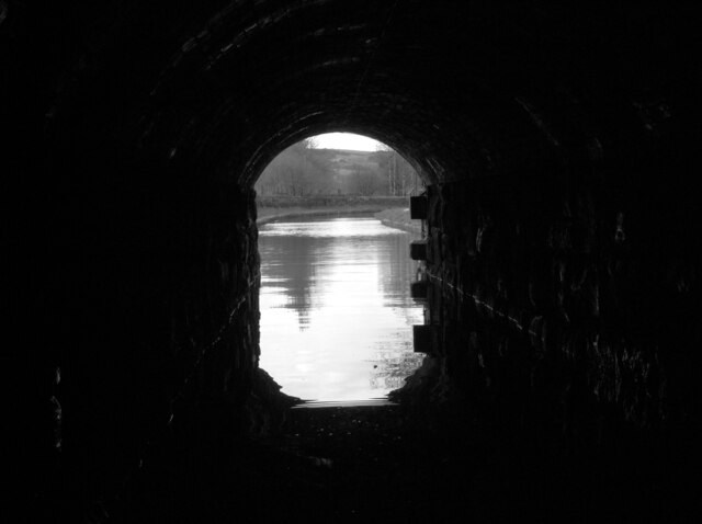
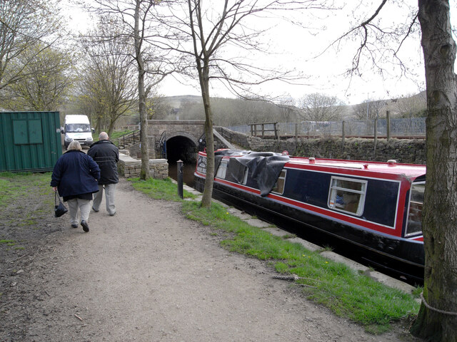
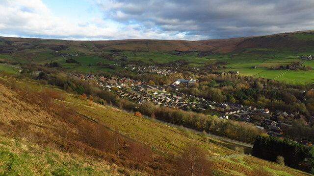
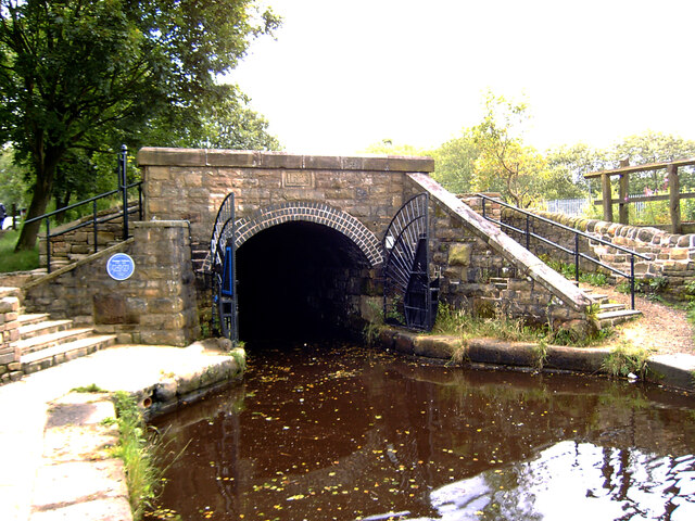
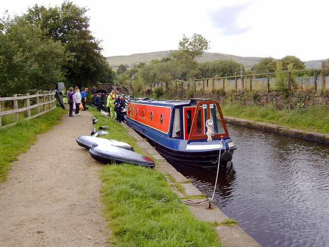
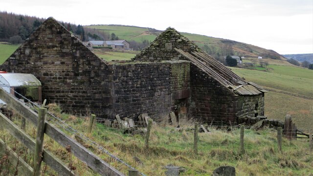
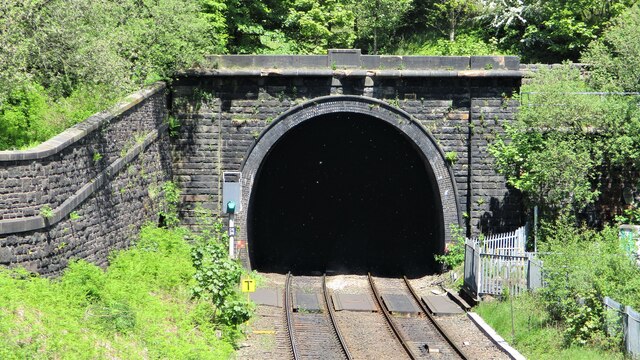
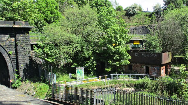
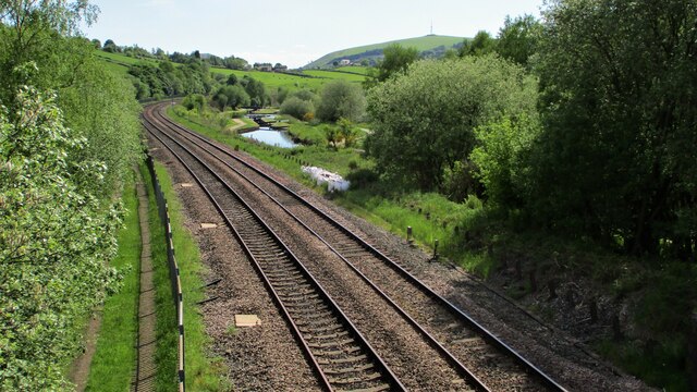
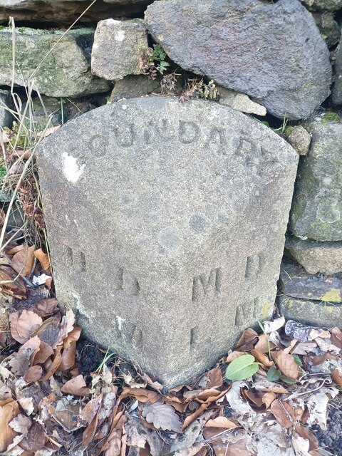
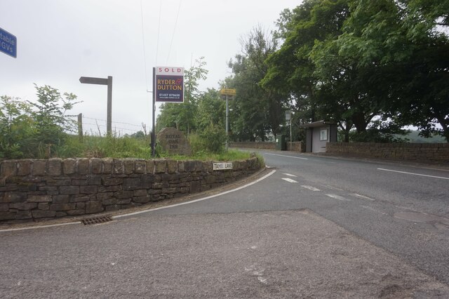
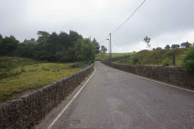
Dale Images
Images are sourced within 2km of 53.569499/-2.017332 or Grid Reference SD9808. Thanks to Geograph Open Source API. All images are credited.

Dale is located at Grid Ref: SD9808 (Lat: 53.569499, Lng: -2.017332)
Division: West Riding
Unitary Authority: Oldham
Police Authority: Greater Manchester
What 3 Words
///interest.barstool.makeovers. Near Delph, Manchester
Nearby Locations
Related Wikis

Delph
Delph (Old English (ge)delf a quarry) is a village in the civil parish of Saddleworth in the Metropolitan Borough of Oldham, in Greater Manchester, England...

Delph railway station
Delph railway station served the village of Delph, Oldham, in what is now Greater Manchester, United Kingdom, between 1851 and 1955. == History == The...

Heights, Greater Manchester
Heights is a hamlet in the Saddleworth parish of the Metropolitan Borough of Oldham, in Greater Manchester, England. It is directly north of Delph, and...
St Thomas' Church, Friarmere
St Thomas' Church, Friarmere, also known as Heights Chapel, is a redundant Anglican church standing on a hillside overlooking the village of Delph, Greater...

Measurements Halt railway station
Measurements Halt railway station was opened on 18 July 1932 as part of the former London and North Western Railway route from Oldham to Delph. The station...

Dobcross
Dobcross is a village in the civil parish of Saddleworth in the Metropolitan Borough of Oldham in Greater Manchester, England. It is in a valley in the...

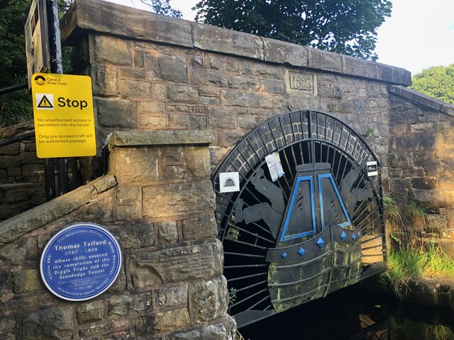
Diggle, Greater Manchester
Diggle is a village in the civil parish of the Saddleworth in Metropolitan Borough of Oldham, in Greater Manchester, England. The village is situated on...
Castleshaw Roman Fort
Castleshaw Roman fort was a castellum in the Roman province of Britannia. Although there is no evidence to substantiate the claim, it has been suggested...
Nearby Amenities
Located within 500m of 53.569499,-2.017332Have you been to Dale?
Leave your review of Dale below (or comments, questions and feedback).