Dale

Settlement in Cumberland Eden

England

Dale

Grazing sheep A view over the woods either side of the Eden towards Blencathra.
Grazing sheep Credit: Richard Webb

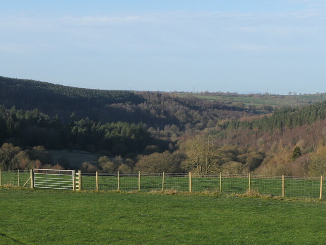
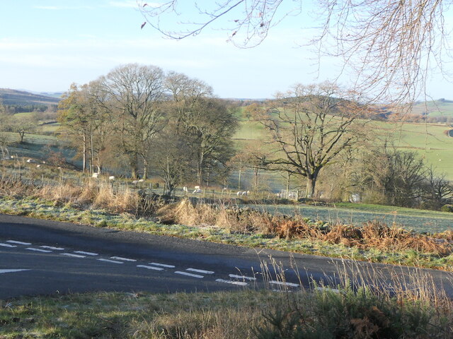
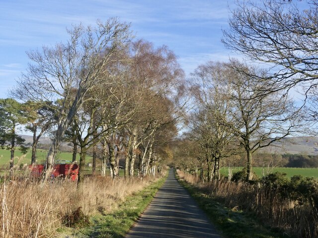
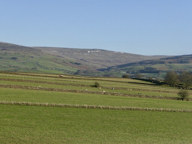
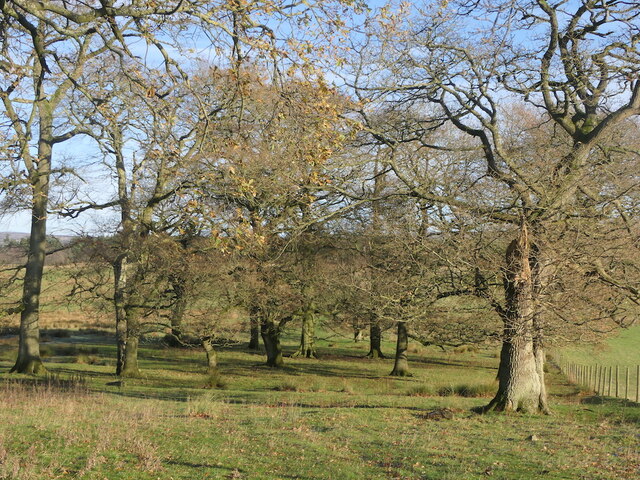
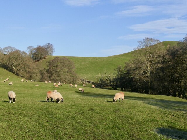
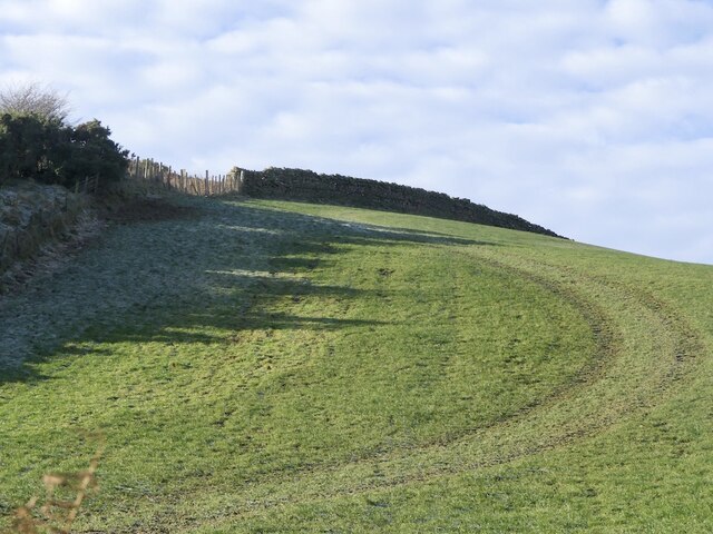
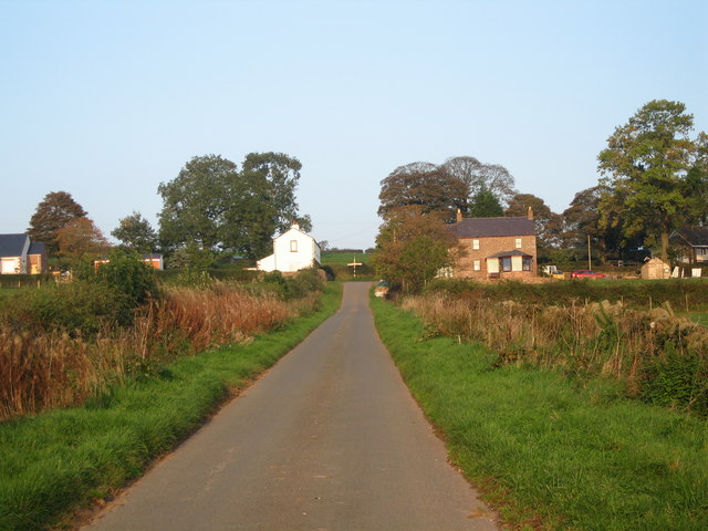
Dale is a small village located in the county of Cumberland, England. It sits on the eastern side of the Lake District National Park, offering residents and visitors stunning views of the surrounding countryside. The village is nestled in a picturesque valley, surrounded by rolling hills and lush greenery, making it an ideal destination for nature enthusiasts and hikers.

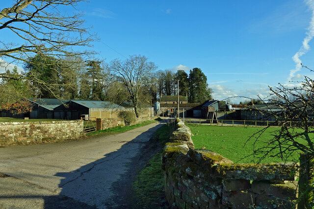
With a population of approximately 500 people, Dale maintains a close-knit community atmosphere. The village boasts a charming mix of traditional stone cottages, as well as newer residential developments. The local economy mainly revolves around agriculture, with many farms dotting the landscape.

Despite its small size, Dale has a few amenities to cater to its residents' needs. There is a local pub that serves as a social hub for the community, providing a cozy setting to enjoy a pint and a chat. Additionally, the village has a primary school that educates children from the surrounding area.

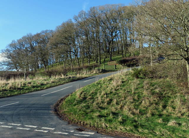
Nature lovers will find themselves in paradise in Dale, as the village is surrounded by numerous walking and hiking trails. The nearby Lake District National Park offers an abundance of outdoor activities, including boating, fishing, and cycling. The area is also known for its wildlife, with the possibility of spotting various bird species and even deer.

Overall, Dale is a tranquil and idyllic village that offers a peaceful escape from the hustle and bustle of city life. Its beautiful natural surroundings and strong sense of community make it an attractive place to live or visit for those seeking a slower pace of life.

If you have any feedback on the listing, please let us know in the comments section below.

Dale Images

Images are sourced within 2km of 54.789738/-2.709113 or Grid Reference NY5444. Thanks to Geograph Open Source API. All images are credited.

Grazing sheep A view over the woods either side of the Eden towards Blencathra.
Grazing sheep
A view over the woods either side of the Eden towards Blencathra.
View down the Eden Overlooking Coombs Wood.
View down the Eden
Overlooking Coombs Wood.
Road junction by Ruscroft A frosty morning with icy roads.
Road junction by Ruscroft
A frosty morning with icy roads.
Ruckcroft to Broomrigg Road Must remember the extra g in rigg here.  An icy morning.
Ruckcroft to Broomrigg Road
Must remember the extra g in rigg here. An icy morning.
Drystone walls near Slack A series of parallel walls against a Pennine backdrop.
Drystone walls near Slack
A series of parallel walls against a Pennine backdrop.
Barn, Slack
Barn, Slack
Oakwood, Broomrigg
Oakwood, Broomrigg
Field beside the Croglin Water
Field off Strait Loaning View westward over the hidden Croglin Water.
Field off Strait Loaning
View westward over the hidden Croglin Water.
Pheasant on a dyke Against a Pennine background.
Pheasant on a dyke
Against a Pennine background.
Road to Staffield
Road to Staffield
Whin Fell
Whin Fell
Old Hall Farm A mid-March view of this busy farm near Kirkoswald.
Old Hall Farm
A mid-March view of this busy farm near Kirkoswald.
Fields at Staffield Good grazing land in the Eden Valley.
Fields at Staffield
Good grazing land in the Eden Valley.
This way to Ruckcroft Nunnery House is shown in the background and in the next square.
This way to Ruckcroft
Nunnery House is shown in the background and in the next square.
Nunnery House view Viewed from the road junction in the next square on a lovely mid-March afternoon.
Nunnery House view
Viewed from the road junction in the next square on a lovely mid-March afternoon.
Towards Ruckcroft The road climbs up the valley side towards Ruckcroft and Ainstable.
Towards Ruckcroft
The road climbs up the valley side towards Ruckcroft and Ainstable.
Pump House disused North West Water Company building. Effugium Camping Club HQ.
Pump House
disused North West Water Company building. Effugium Camping Club HQ.
Show me another place!

Dale is located at Grid Ref: NY5444 (Lat: 54.789738, Lng: -2.709113)

Administrative County: Cumbria

District: Eden

Police Authority: Cumbria

What 3 Words

///masses.supply.book. Near Wetheral, Cumbria

Nearby Locations

Dale

Related Wikis

Dale, Cumbria

Dale is a hamlet in Cumbria, England. == References ==

Staffield

Staffield is a hamlet and former civil parish 12 miles (19 km) from Carlisle, now in the parish of Kirkoswald, in the Eden district, in the county of Cumbria...

Ruckcroft

Ruckcroft is a hamlet in the English county of Cumbria. It neighbours the larger settlements of Armathwaite and Ainstable. In the past Ruckcroft had a...

Armathwaite Nunnery

Armathwaite Nunnery was a Benedictine nunnery in Cumbria, England. It was situated near the confluence of the rivers Croglin Water and Eden in the southern...

Nearby Amenities

Located within 500m of 54.789738,-2.709113
Dale
Place: hamlet
Source: NPE
Wikidata: Q5210306
Lat/Long: 54.7897028/-2.7096708
Noexit: yes
Lat/Long: 54.7876458/-2.7123559
Ford: yes
Lat/Long: 54.7918359/-2.7058961
Noexit: yes
Lat/Long: 54.7892885/-2.709294
Power: pole
Lat/Long: 54.7857118/-2.7063799
Power: pole
Lat/Long: 54.7862618/-2.7067376
Power: pole
Lat/Long: 54.7867388/-2.7062281
Power: pole
Lat/Long: 54.7935173/-2.7098913
Power: pole
Lat/Long: 54.7925852/-2.7095017
Power: pole
Lat/Long: 54.7916754/-2.7091023
Power: pole
Lat/Long: 54.7907656/-2.7086788
Power: pole
Lat/Long: 54.7899199/-2.7083254
Power: pole
Lat/Long: 54.7890031/-2.7079188
Power: pole
Lat/Long: 54.7880709/-2.7075267
Power: pole
Lat/Long: 54.7870242/-2.7070354
The data included in this document is from www.openstreetmap.org. The data is made available under ODbL.

Have you been to Dale?

Leave your review of Dale below (or comments, questions and feedback).