Small Acre
Downs, Moorland in Yorkshire
England
Small Acre
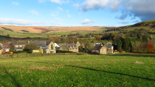
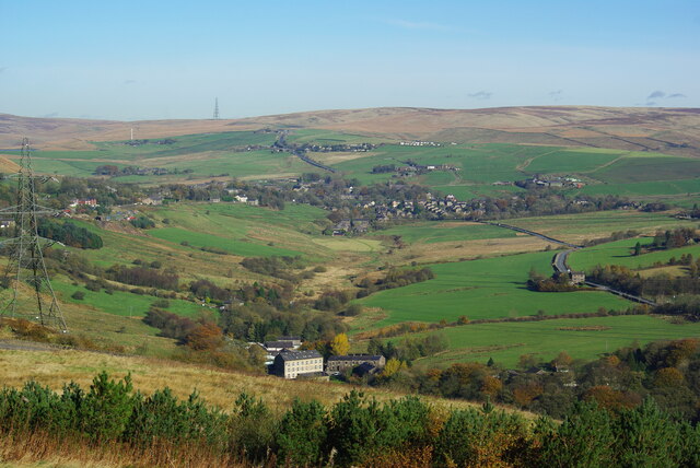
Small Acre, Yorkshire, is a picturesque village located in the heart of the Yorkshire Dales, amidst the stunning backdrop of the Downs and Moorland. With a population of around 500 residents, this small and close-knit community offers a tranquil and idyllic setting for those seeking a peaceful countryside retreat.
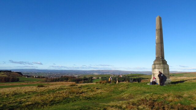
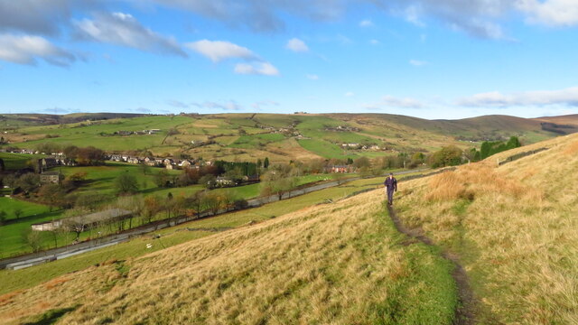
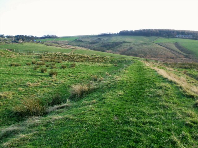
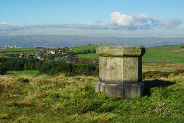
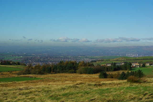
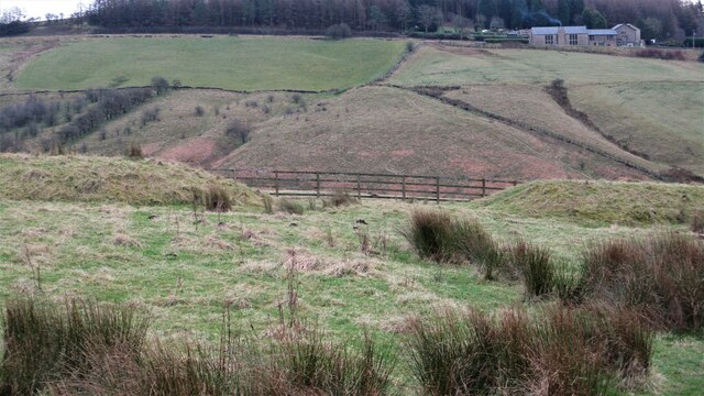
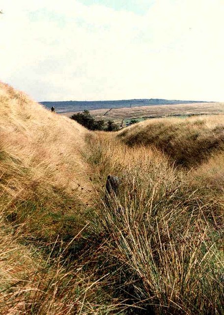
The village is surrounded by rolling hills and lush green fields, providing ample opportunities for outdoor activities such as hiking, cycling, and horseback riding. The nearby Downs offer breathtaking views of the surrounding landscape, with their gentle slopes covered in vibrant wildflowers during the summer months.
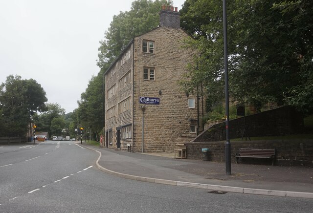
Small Acre is known for its rich agricultural heritage, with many residents involved in farming and livestock rearing. The village is dotted with charming stone-built cottages and traditional farmhouses, adding to its quaint and rustic charm. The local economy is largely dependent on agriculture, with several small businesses catering to the needs of both locals and visitors.
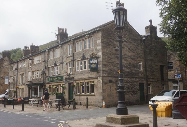
The community spirit is strong in Small Acre, with regular events and gatherings taking place in the village hall. The local pub, The Crown and Thistle, serves as a popular meeting place for residents and visitors alike, offering a warm and friendly atmosphere.
Despite its rural setting, Small Acre is conveniently located within a short drive of larger towns, providing access to amenities such as shops, schools, and healthcare facilities. The nearby Moorland offers a wilder and more remote landscape, perfect for nature enthusiasts and birdwatchers.
Small Acre, Yorkshire, offers a true taste of rural living, with its breathtaking scenery, friendly community, and peaceful atmosphere attracting visitors from far and wide.
If you have any feedback on the listing, please let us know in the comments section below.
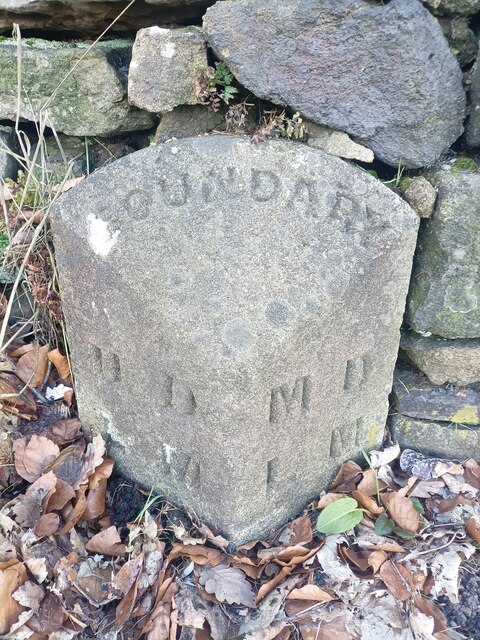
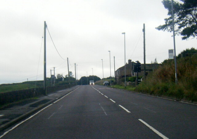
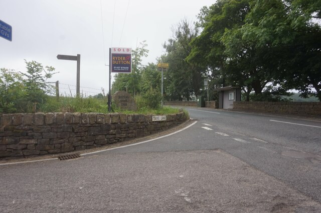
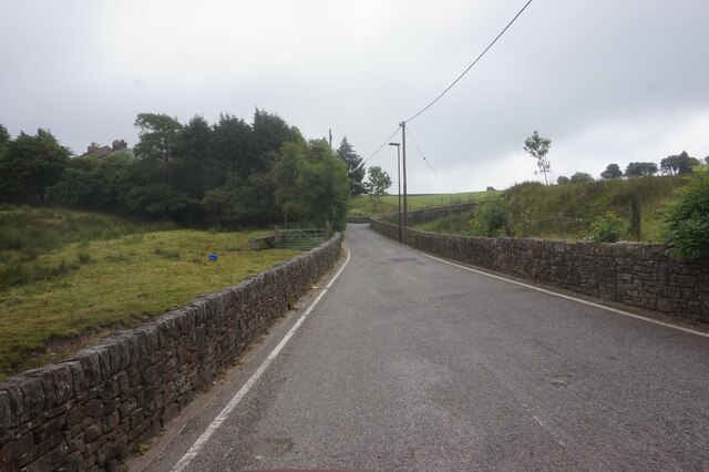
Small Acre Images
Images are sourced within 2km of 53.574358/-2.0268879 or Grid Reference SD9808. Thanks to Geograph Open Source API. All images are credited.

Small Acre is located at Grid Ref: SD9808 (Lat: 53.574358, Lng: -2.0268879)
Division: West Riding
Unitary Authority: Oldham
Police Authority: Greater Manchester
What 3 Words
///squeaking.sake.unlisted. Near Delph, Manchester
Nearby Locations
Related Wikis

Heights, Greater Manchester
Heights is a hamlet in the Saddleworth parish of the Metropolitan Borough of Oldham, in Greater Manchester, England. It is directly north of Delph, and...
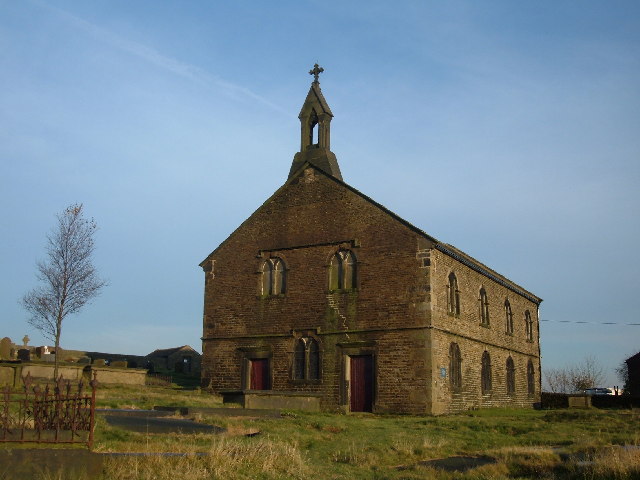
St Thomas' Church, Friarmere
St Thomas' Church, Friarmere, also known as Heights Chapel, is a redundant Anglican church standing on a hillside overlooking the village of Delph, Greater...

Delph
Delph (Old English (ge)delf a quarry) is a village in the civil parish of Saddleworth in the Metropolitan Borough of Oldham, in Greater Manchester, England...

Delph railway station
Delph railway station served the village of Delph, Oldham, in what is now Greater Manchester, United Kingdom, between 1851 and 1955. == History == The...
Castleshaw Roman Fort
Castleshaw Roman fort was a castellum in the Roman province of Britannia. Although there is no evidence to substantiate the claim, it has been suggested...

Measurements Halt railway station
Measurements Halt railway station was opened on 18 July 1932 as part of the former London and North Western Railway route from Oldham to Delph. The station...

Castleshaw
Castleshaw is a hamlet in the Saddleworth parish of the Metropolitan Borough of Oldham in Greater Manchester, England. It lies amid the Pennines, 2.4 miles...

Denshaw
Denshaw is a village in the civil parish of Saddleworth in the Metropolitan Borough of Oldham, in Greater Manchester, England. It lies by the source of...
Nearby Amenities
Located within 500m of 53.574358,-2.0268879Have you been to Small Acre?
Leave your review of Small Acre below (or comments, questions and feedback).