The Common

Downs, Moorland in Dorset

England

The Common

On the course of the Roman Road near Holly Grove Coppice
On the course of the Roman Road near Holly Grove Coppice Credit: David Martin

The Common, Dorset, located in the southwestern part of England, is a vast expanse of land encompassing downs and moorland. Covering an area of approximately X square miles, it is a renowned destination for nature lovers, outdoor enthusiasts, and those seeking tranquility amidst picturesque surroundings.

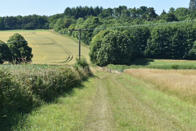
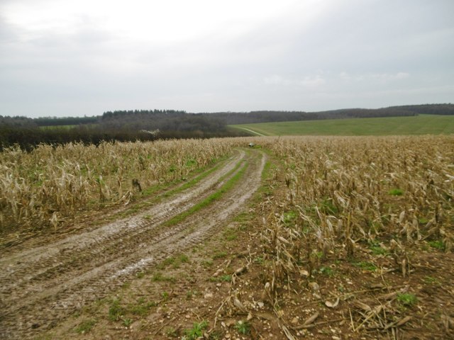
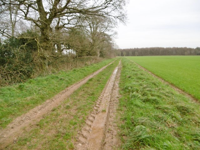
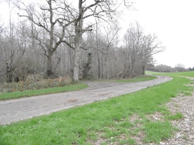
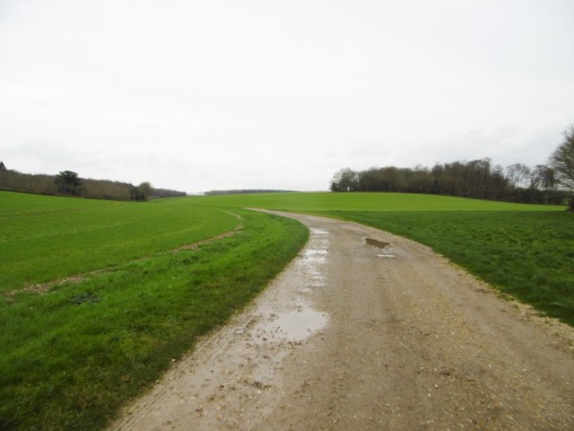
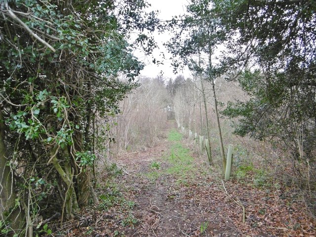
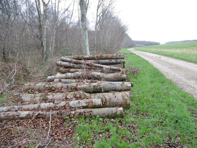
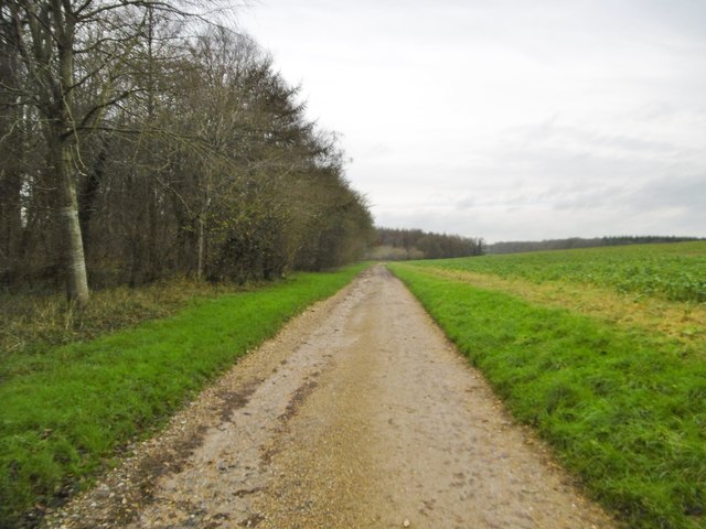
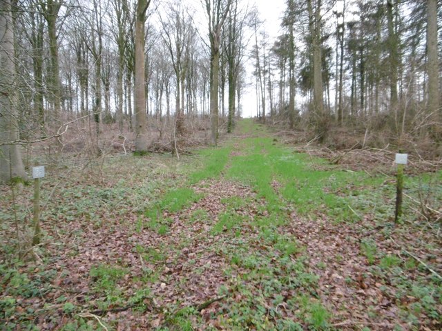
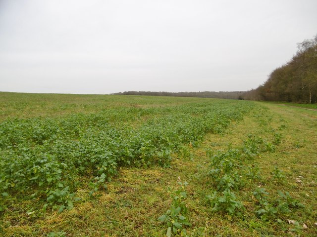
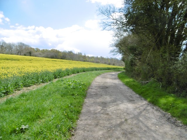
The Common's landscape is characterized by rolling hills, open grasslands, and heathlands, offering breathtaking panoramic views. The downs, with their gentle slopes and chalk grasslands, are home to a diverse range of plant and animal species, including rare orchids and butterflies. The moorland, on the other hand, features a more rugged terrain, with rocky outcrops and heather-covered slopes, providing a habitat for unique bird species, such as the Dartford warbler and the golden plover.

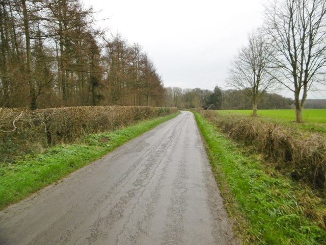
Visitors to The Common can enjoy a variety of outdoor activities, including hiking, cycling, and horse riding. Numerous well-marked trails and paths traverse the area, allowing visitors to explore its natural wonders at their own pace. The Common is also a popular spot for picnicking, birdwatching, and photography.

In addition to its natural beauty, The Common holds historical significance. It has been an area of common land for centuries, with evidence of human activity dating back to prehistoric times. Ruins of ancient settlements and burial mounds can be found scattered across the landscape, offering glimpses into the area's rich cultural heritage.

Overall, The Common, Dorset, with its stunning downs and moorland, is a captivating destination that appeals to nature enthusiasts and history buffs alike. Its untouched beauty and tranquil atmosphere make it a must-visit location for anyone seeking an escape from the hustle and bustle of modern life.

If you have any feedback on the listing, please let us know in the comments section below.
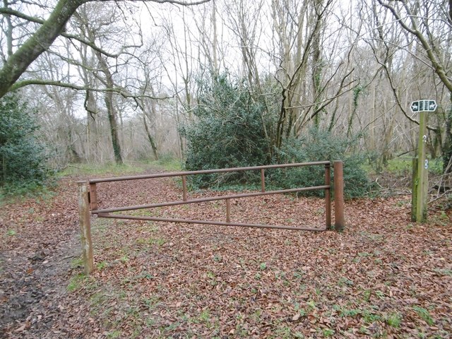
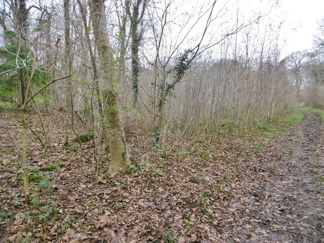
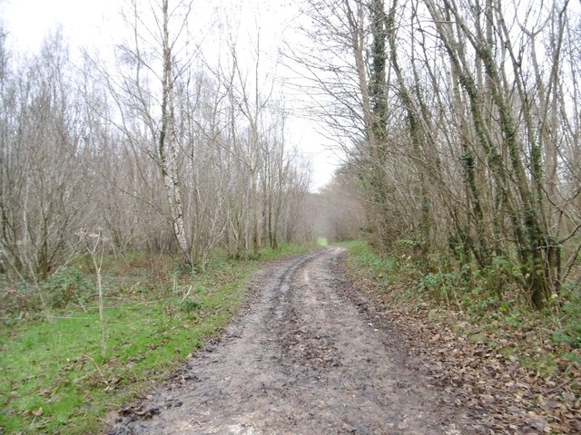
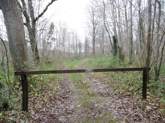
The Common Images

Images are sourced within 2km of 50.871408/-2.0253445 or Grid Reference ST9807. Thanks to Geograph Open Source API. All images are credited.

On the course of the Roman Road near Holly Grove Coppice
Bends in lane east of Holly Grove Coppice
Long Crichel, maize stubble Many local fields have strips of stubble not ploughed in, kept as coverts for game birds.
Long Crichel, maize stubble
Many local fields have strips of stubble not ploughed in, kept as coverts for game birds.
Long Crichel, bridleway Bridleway and farm track, heading towards Moor Crichel. Technically, the bridleway is shown 50m to the South, but riders use this track in preference.
Long Crichel, bridleway
Bridleway and farm track, heading towards Moor Crichel. Technically, the bridleway is shown 50m to the South, but riders use this track in preference.
Long Crichel, minor road From Long Crichel to Manswood and Witchampton.
Long Crichel, minor road
From Long Crichel to Manswood and Witchampton.
Moor Crichel, gate & marker At the northern end of Coutman's Croft, on the bridleway to Manswood.
Moor Crichel, gate & marker
At the northern end of Coutman's Croft, on the bridleway to Manswood.
Moor Crichel, Coutman's Croft Woodland, on the bridleway to Long Crichel. The northern end of the croft is still recognisably hazel coppice; here, scrub has developed, as a covert for game birds.
Moor Crichel, Coutman's Croft
Woodland, on the bridleway to Long Crichel. The northern end of the croft is still recognisably hazel coppice; here, scrub has developed, as a covert for game birds.
Manswood, farm road Bridleway and farm road from isolated buildings, through Coutman's Croft towards Manswood.
Manswood, farm road
Bridleway and farm road from isolated buildings, through Coutman's Croft towards Manswood.
Manswood, gateway Into Coutman's Croft, a game bird covert.
Manswood, gateway
Into Coutman's Croft, a game bird covert.
Manswood, bridleway junction Left, to Launceston Down; ahead, through Coutman's Croft to Long Crichel; right, to Manswood.
Manswood, bridleway junction
Left, to Launceston Down; ahead, through Coutman's Croft to Long Crichel; right, to Manswood.
Manswood, farm road Farm road and bridleway, towards the Tarrants.
Manswood, farm road
Farm road and bridleway, towards the Tarrants.
Manswood, Strawberry Coppice The eastern end of the coppice is still used for timber production - note the tree tubes.
Manswood, Strawberry Coppice
The eastern end of the coppice is still used for timber production - note the tree tubes.
Manswood, timber Birch trunks from Strawberry Coppice awaiting collection by the roadside.
Manswood, timber
Birch trunks from Strawberry Coppice awaiting collection by the roadside.
Manswood, bridleway Bridleway and farm road, between Strawberry Coppice (left) and farmland, towards Tarrant Monkton.
Manswood, bridleway
Bridleway and farm road, between Strawberry Coppice (left) and farmland, towards Tarrant Monkton.
Manswood, forestry track Into Strawberry Coppice. Note the number posts for different parcels of woodland.
Manswood, forestry track
Into Strawberry Coppice. Note the number posts for different parcels of woodland.
Manswood, rape field On Horse Down. A few plants are unseasonably in flower.
Manswood, rape field
On Horse Down. A few plants are unseasonably in flower.
Ford at Moor Crichel This ford is found at Norwood Park near Moor Crichel. The bridleway to Cock Road is on the route of a Roman Road.
Ford at Moor Crichel
This ford is found at Norwood Park near Moor Crichel. The bridleway to Cock Road is on the route of a Roman Road.
Tarrant Rushton, bridleway Between rape fields, towards Witchampton.
Tarrant Rushton, bridleway
Between rape fields, towards Witchampton.
Show me another place!

The Common is located at Grid Ref: ST9807 (Lat: 50.871408, Lng: -2.0253445)

Unitary Authority: Dorset

Police Authority: Dorset

What 3 Words

///warns.steadily.lavished. Near Pimperne, Dorset

Nearby Locations

The Common

Related Wikis

Crichel House

Crichel House is a Grade I listed, Classical Revival country house near the village of Moor Crichel in Dorset, England. The house has an entrance designed...

Moor Crichel

Moor Crichel () is a village and former civil parish, now in the parish of Crichel, in East Dorset, England situated on Cranborne Chase five miles east...

Bryanston SSSI, Dorset

Bryanston SSSI (grid reference ST974070) is a 0.3 hectare biological Site of Special Scientific Interest in Dorset, England notified in 1977. It is used...

Witchampton

Witchampton is a village and civil parish in East Dorset, England, situated on the River Allen 5 miles (8 km) north of Wimborne Minster. The 2011 census...

Nearby Amenities

Located within 500m of 50.871408,-2.0253445
Post Box
Collection Times: Mo-Fr 11:30; Sa 10:30
Description: In wall of outbuilding behind the long row of thatched cottages (old p.o.)./The Buildings/
Post Box Type: wall
Ref: BH21 9
Ref GB Uprn: 10015439821
Royal Cypher: VR
Royal Cypher Wikidata: Q33102356
Lat/Long: 50.8728536/-2.0254863
Material: wood
Power: pole
Source: bing
Lat/Long: 50.8682454/-2.021498
Material: wood
Power: pole
Source: bing
Lat/Long: 50.8691899/-2.0217126
Material: wood
Power: pole
Source: bing
Lat/Long: 50.8697671/-2.0318513
Material: wood
Power: pole
Source: bing
Lat/Long: 50.8700549/-2.0307865
Material: wood
Power: pole
Source: bing
Lat/Long: 50.8701057/-2.0219271
Material: wood
Power: pole
Source: bing
Lat/Long: 50.8701903/-2.0230376
Material: wood
Power: pole
Source: bing
Lat/Long: 50.8703376/-2.0297109
Material: wood
Power: pole
Source: bing
Lat/Long: 50.8703409/-2.0219861
Material: wood
Power: pole
Source: bing
Lat/Long: 50.870368/-2.0252316
Material: wood
Power: pole
Source: bing
Lat/Long: 50.8703782/-2.0210366
Material: wood
Power: pole
Source: bing
Lat/Long: 50.870412/-2.0197599
Material: wood
Power: pole
Source: bing
Lat/Long: 50.8704307/-2.0184832
Material: wood
Power: pole
Source: bing
Lat/Long: 50.8704544/-2.0263662
Material: wood
Power: pole
Source: bing
Lat/Long: 50.8705424/-2.0274847
Material: wood
Power: pole
Source: bing
Lat/Long: 50.8706236/-2.0286353
Material: wood
Power: pole
Source: bing
Lat/Long: 50.8710214/-2.0221498
Material: wood
Power: pole
Source: bing
Lat/Long: 50.8713108/-2.0289787
Material: wood
Poles: bipole
Power: pole
Source: bing
Transformer: distribution
Lat/Long: 50.8718914/-2.0223536
Material: wood
Power: pole
Source: bing
Lat/Long: 50.8719879/-2.0293274
Material: wood
Power: pole
Source: bing
Lat/Long: 50.8726616/-2.0296707
Material: wood
Poles: bipole
Power: pole
Source: bing
Lat/Long: 50.8729442/-2.0225977
Material: wood
Power: pole
Source: bing
Lat/Long: 50.87332/-2.0300194
Material: wood
Power: pole
Source: bing
Lat/Long: 50.8734181/-2.0214819
Material: wood
Power: pole
Source: bing
Lat/Long: 50.8738887/-2.0203634
Material: wood
Power: pole
Source: bing
Lat/Long: 50.8739733/-2.0303493
The data included in this document is from www.openstreetmap.org. The data is made available under ODbL.

Have you been to The Common?

Leave your review of The Common below (or comments, questions and feedback).