Brackenbridge Moss
Downs, Moorland in Durham
England
Brackenbridge Moss

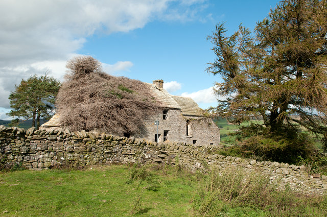
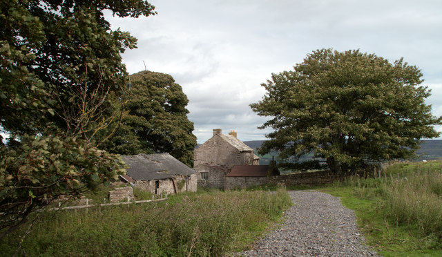
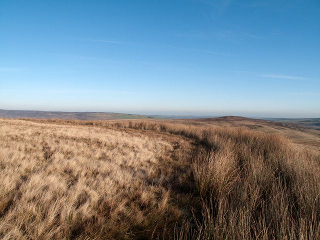
Brackenbridge Moss, located in Durham, England, is a captivating area of downs and moorland that stretches across a vast expanse of land. With its stunning natural beauty and diverse ecosystem, this location has become a popular destination for nature enthusiasts and those seeking solace in the tranquility of the countryside.
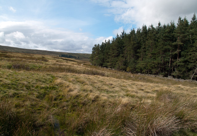
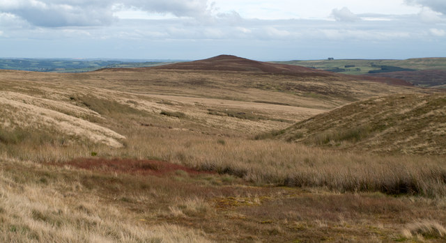
The moss is characterized by its rolling hills and heathland, covered in a tapestry of vibrant purple heather during the summer months. It is home to a variety of plant species, including sphagnum moss, cotton grass, and bilberry. These plants thrive in the acidic soil found in this upland area, creating a unique and visually striking landscape.
Wildlife flourishes in Brackenbridge Moss, with a range of species making their homes here. The moss provides an ideal habitat for birds such as curlews, lapwings, and skylarks, which can often be heard singing their melodious tunes as they soar above the moorland. Additionally, the area is home to small mammals like voles and shrews, and occasionally larger animals such as deer can be spotted.
Visitors to Brackenbridge Moss can explore the area through a network of walking trails that wind their way through the moorland. These trails offer breathtaking panoramic views of the surrounding countryside, showcasing the true beauty of this natural wonder. The moss is also a popular spot for picnicking and photography, offering countless opportunities to capture the stunning vistas and wildlife.
Brackenbridge Moss is a true gem of Durham, providing an escape from the bustling city life and offering visitors a chance to immerse themselves in the untamed beauty of nature.
If you have any feedback on the listing, please let us know in the comments section below.
Brackenbridge Moss Images
Images are sourced within 2km of 54.724254/-2.0278061 or Grid Reference NY9836. Thanks to Geograph Open Source API. All images are credited.


Brackenbridge Moss is located at Grid Ref: NY9836 (Lat: 54.724254, Lng: -2.0278061)
Unitary Authority: County Durham
Police Authority: Durham
What 3 Words
///horns.dispenser.tomato. Near Stanhope, Co. Durham
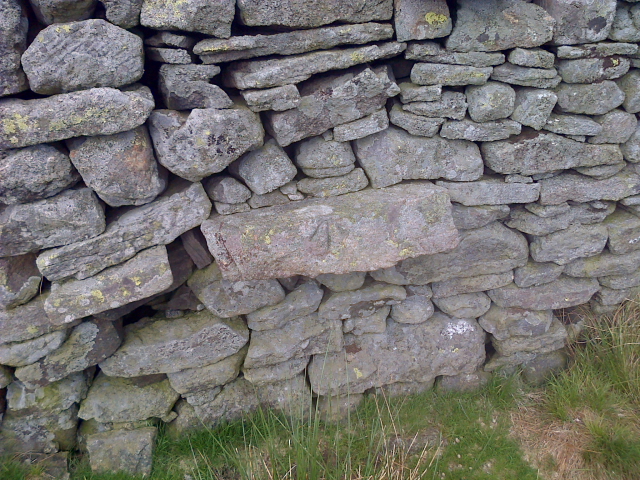
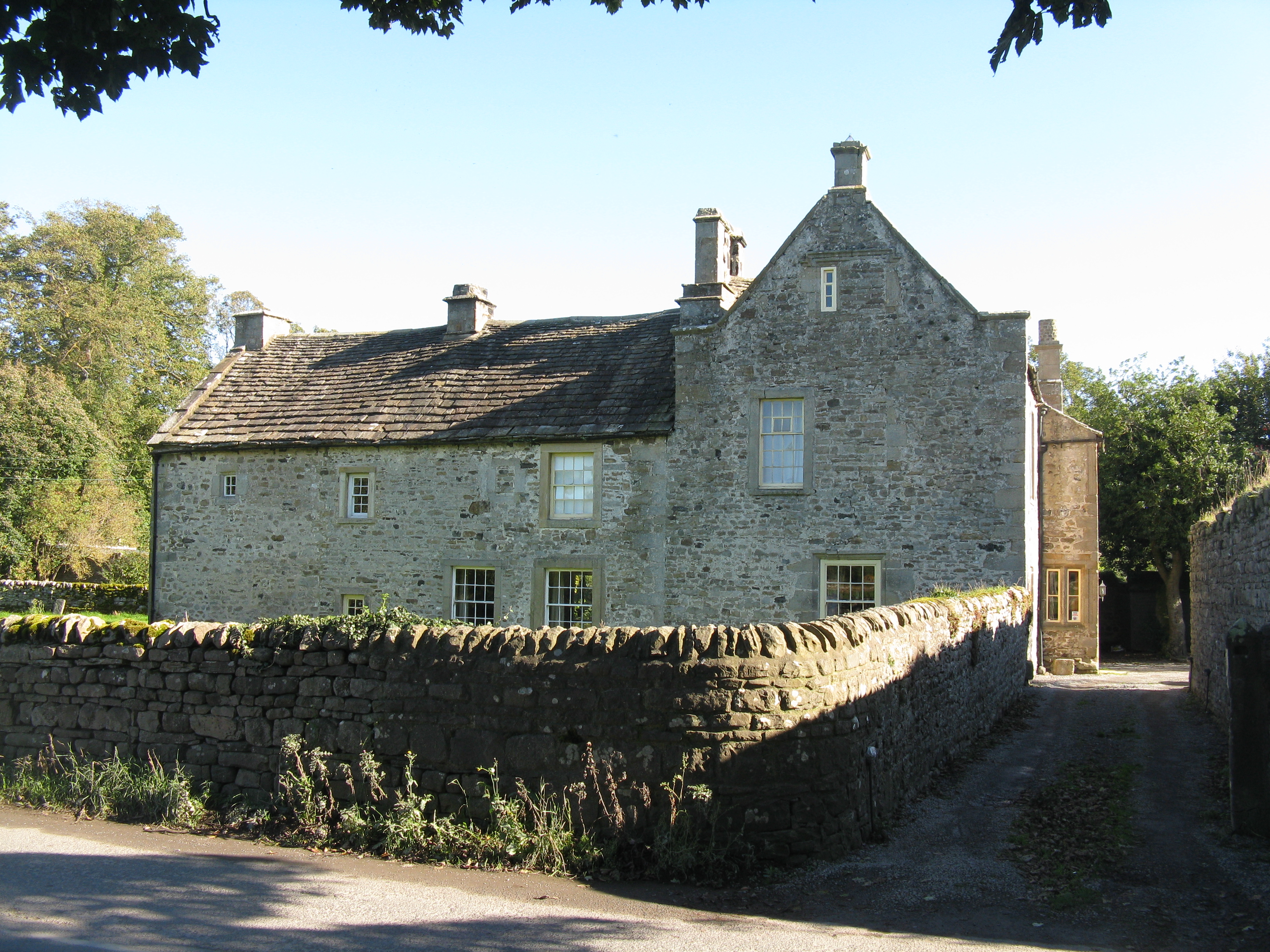
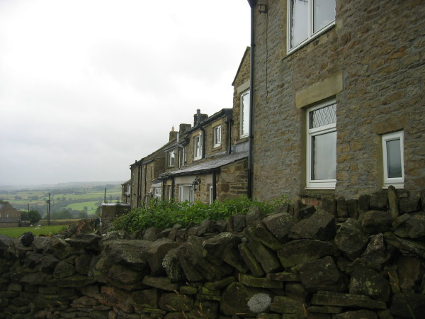
Nearby Locations
Related Wikis

West Newlandside Meadows
West Newlandside Meadows is a Site of Special Scientific Interest in the Wear Valley district of County Durham, England. It lies 3 km south-west of the...
Unthank, Stanhope
Unthank is a collection of houses in the civil parish of Stanhope, in County Durham, England. Unthank can be found just over Stanhope Ford and at the bottom...

Horsley Hall
Horsley Hall is a 17th-century country house, now in use as a hotel, near Stanhope, County Durham, England. It is a Grade II listed building. The manor...

Greenfoot Quarry
Greenfoot Quarry is a Site of Special Scientific Interest in the Wear Valley district of west County Durham, England. It is a disused quarry, situated...

Shittlehope
Shittlehope is a hamlet in the civil parish of Stanhope, in County Durham, England. It is situated on the north side of Weardale between Stanhope and Frosterley...

Stanhope, County Durham
Stanhope is a market town and civil parish in the County Durham district, in the ceremonial county of Durham, England. It lies on the River Wear between...
Hill End, County Durham
Hill End is a village in the civil parish of Stanhope, in County Durham, England. It is situated on the south side of Weardale, near Frosterley. ��2�...

Eastgate railway station
Eastgate railway station, also known as Eastgate-in-Weardale, served the village of Eastgate in County Durham, North East England from 1895 to 1953 as...
Nearby Amenities
Located within 500m of 54.724254,-2.0278061Have you been to Brackenbridge Moss?
Leave your review of Brackenbridge Moss below (or comments, questions and feedback).