Heights
Settlement in Yorkshire
England
Heights
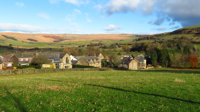
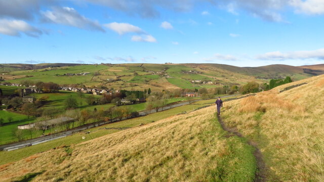
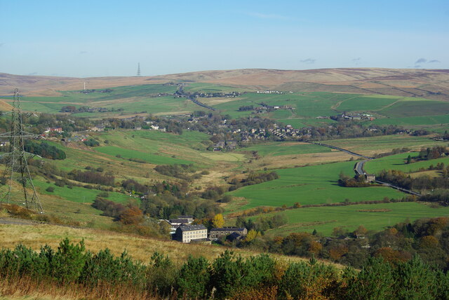
Heights is a small village located in the county of Yorkshire, in the northern region of England. Situated in the picturesque countryside, it is surrounded by rolling hills and lush green fields, offering a tranquil and idyllic setting for residents and visitors alike.
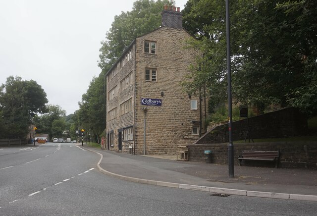
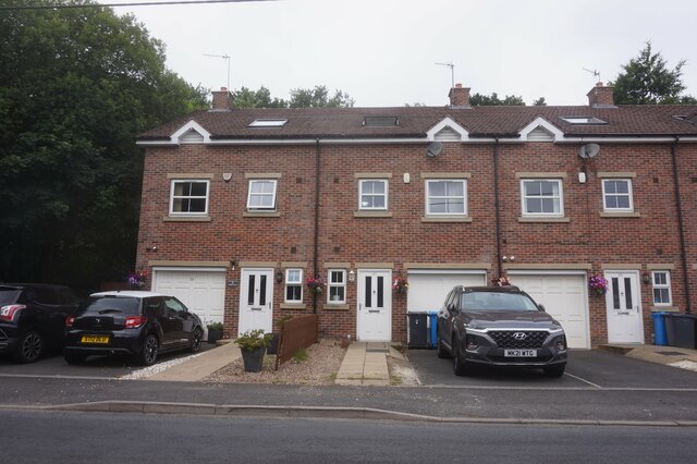
The village is home to a tight-knit community, with a population of around 500 people. The residents take pride in preserving the village's rich history and heritage, evident in the well-preserved traditional architecture that can be found throughout the area. The charming stone-built cottages and historic buildings give Heights a distinct character and charm.
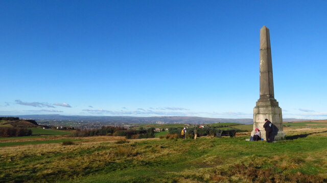
With its close proximity to the stunning Yorkshire Dales National Park, Heights serves as an excellent base for outdoor enthusiasts. The village offers easy access to a plethora of walking trails, cycling routes, and nature reserves, allowing visitors to explore the breathtaking landscapes and diverse wildlife that the region has to offer.
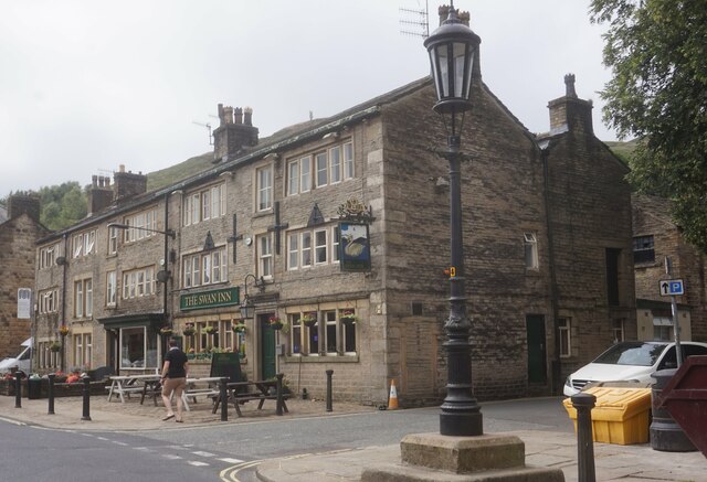
Although small in size, Heights boasts a range of amenities to cater to the needs of its residents. These include a local convenience store, a village hall that hosts various community events, and a cozy pub where locals gather to socialize and enjoy traditional Yorkshire fare.
For those seeking a taste of city life, the bustling city of Leeds is just a short drive away, providing an array of shopping, dining, and entertainment options.
In conclusion, Heights, Yorkshire, is a charming village that offers a peaceful countryside retreat, with easy access to outdoor activities and nearby urban amenities. Its beauty, history, and close-knit community make it a delightful place to visit or call home.
If you have any feedback on the listing, please let us know in the comments section below.
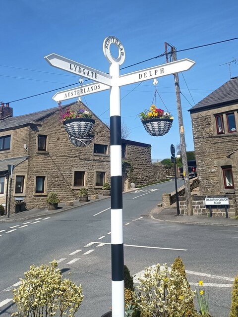
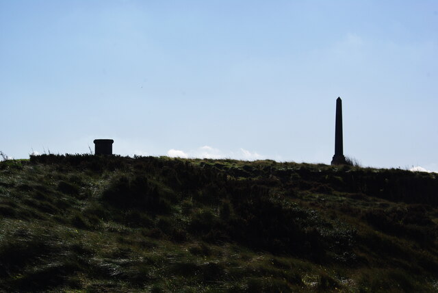
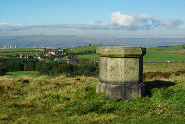
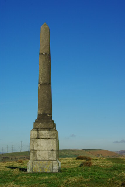
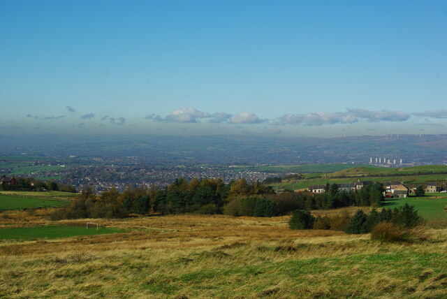
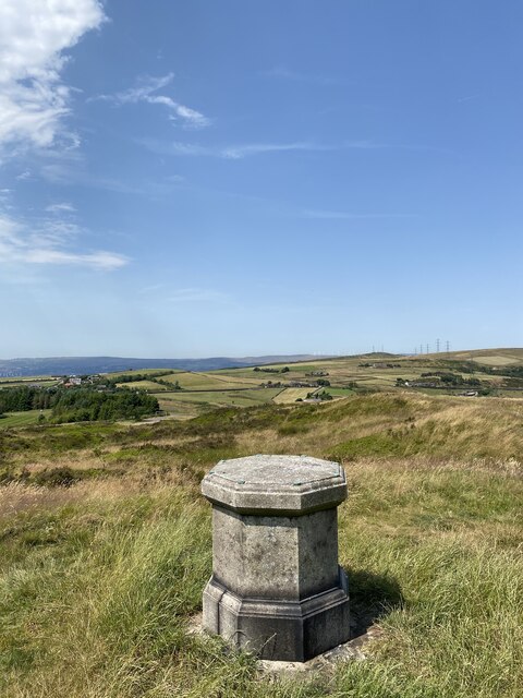
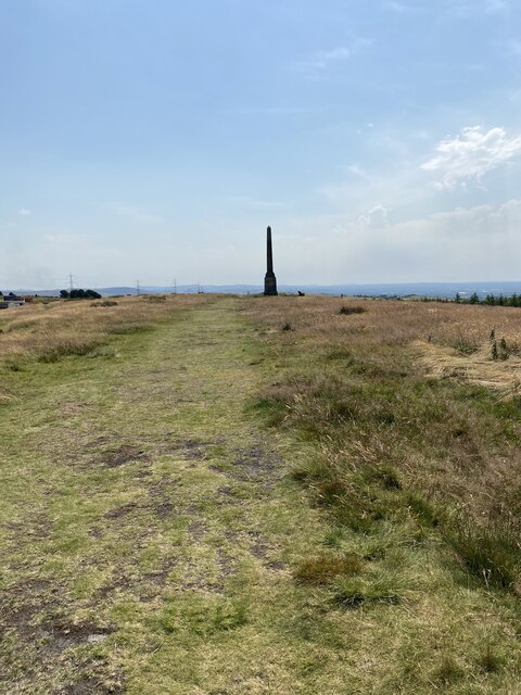
Heights Images
Images are sourced within 2km of 53.568604/-2.0316708 or Grid Reference SD9808. Thanks to Geograph Open Source API. All images are credited.

Heights is located at Grid Ref: SD9808 (Lat: 53.568604, Lng: -2.0316708)
Division: West Riding
Unitary Authority: Oldham
Police Authority: Greater Manchester
What 3 Words
///inherits.blame.tilt. Near Delph, Manchester
Nearby Locations
Related Wikis

Delph
Delph (Old English (ge)delf a quarry) is a village in the civil parish of Saddleworth in the Metropolitan Borough of Oldham, in Greater Manchester, England...

Heights, Greater Manchester
Heights is a hamlet in the Saddleworth parish of the Metropolitan Borough of Oldham, in Greater Manchester, England. It is directly north of Delph, and...

Delph railway station
Delph railway station served the village of Delph, Oldham, in what is now Greater Manchester, United Kingdom, between 1851 and 1955. == History == The...
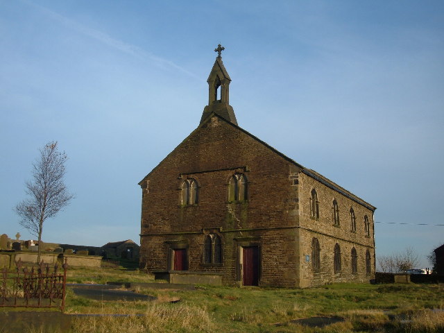
St Thomas' Church, Friarmere
St Thomas' Church, Friarmere, also known as Heights Chapel, is a redundant Anglican church standing on a hillside overlooking the village of Delph, Greater...

Measurements Halt railway station
Measurements Halt railway station was opened on 18 July 1932 as part of the former London and North Western Railway route from Oldham to Delph. The station...

Dobcross
Dobcross is a village in the civil parish of Saddleworth in the Metropolitan Borough of Oldham in Greater Manchester, England. It is in a valley in the...
Dobcross railway station
Dobcross railway station served the village of Dobcross between 1912 and 1955. == History == The station was opened on 1 January 1912 as part of the London...
Saddleworth railway station
Saddleworth railway station, on the Huddersfield Line in Dobcross to the north of Uppermill, opened in August 1849 and closed to passengers in October...
Nearby Amenities
Located within 500m of 53.568604,-2.0316708Have you been to Heights?
Leave your review of Heights below (or comments, questions and feedback).