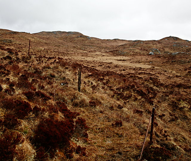
Heights of Kinlochewe
Settlement in Ross-shire
Scotland
Heights of Kinlochewe

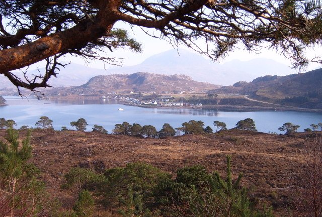
Kinlochewe is a small village located in the Ross-shire region of the Scottish Highlands. Situated at the western edge of the vast Loch Maree, it is surrounded by stunning mountainous landscapes, making it a popular destination for outdoor enthusiasts and nature lovers alike.
The village itself is home to a tight-knit community, with a population of around 200 residents. Despite its small size, Kinlochewe offers essential amenities such as a village shop, a post office, and a hotel, catering to the needs of both locals and visitors.
One of the main attractions of Kinlochewe is its proximity to the Torridon Mountains, a range known for its rugged beauty and challenging hikes. The towering peaks of Beinn Eighe and Liathach provide breathtaking views and opportunities for mountaineering, while the surrounding glens and lochs offer ample opportunities for walking, fishing, and wildlife spotting.
The village is also a gateway to the renowned Beinn Eighe National Nature Reserve, the oldest in Britain. This protected area is home to a diverse range of flora and fauna, including rare species such as golden eagles, pine martens, and black-throated divers. Visitors can explore the reserve on well-marked trails, taking in the ancient Caledonian pine forests and the tranquil shores of Loch Coire Mhic Fhearchair.
In summary, Heights of Kinlochewe is a picturesque village nestled amidst the majestic Scottish Highlands. With its stunning natural surroundings and opportunities for outdoor activities, it offers a serene retreat for those seeking solace in nature's embrace.
If you have any feedback on the listing, please let us know in the comments section below.
Heights of Kinlochewe Images
Images are sourced within 2km of 57.624523/-5.2336846 or Grid Reference NH0764. Thanks to Geograph Open Source API. All images are credited.


Heights of Kinlochewe is located at Grid Ref: NH0764 (Lat: 57.624523, Lng: -5.2336846)
Unitary Authority: Highland
Police Authority: Highlands and Islands
What 3 Words
///zone.buildings.linked. Near Kinlochewe, Highland
Nearby Locations
Related Wikis
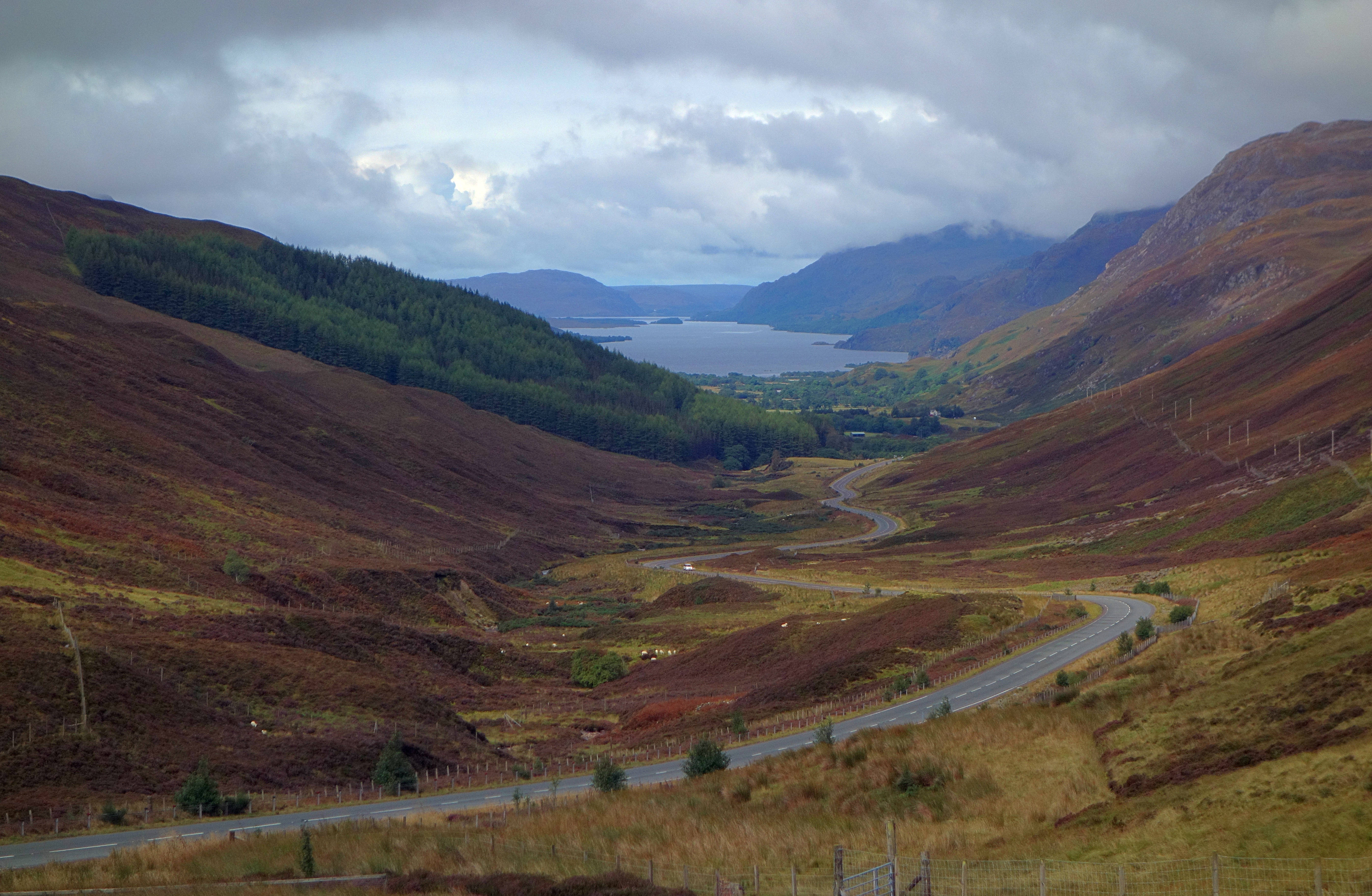
Glen Docherty
Glen Docherty (Scottish Gaelic: Gleann Dochartaich) is a glen in Wester Ross in Scotland, between Loch Maree and Kinlochewe to the west and Loch a'Chroisg...

Anancaun
Anancaun (Scottish Gaelic: Àth nan Ceann) is a small hamlet located in Ross-shire, Scotland, within the Scottish council area of Highland. == References ==
Wester Ross
Wester Ross (Scottish Gaelic: Ros an Iar) is an area of the Northwest Highlands of Scotland in the council area of Highland. The area is loosely defined...

Kinlochewe
Kinlochewe (Scottish Gaelic: Ceann Loch Iù or Iùbh) is a village in Wester Ross in the Northwest Highlands of Scotland. It is in the parish of Gairloch...
Nearby Amenities
Located within 500m of 57.624523,-5.2336846Have you been to Heights of Kinlochewe?
Leave your review of Heights of Kinlochewe below (or comments, questions and feedback).