Heightington
Settlement in Worcestershire Wyre Forest
England
Heightington

Heightington is a small village located in the county of Worcestershire, England. Situated approximately 5 miles south of the town of Kidderminster, Heightington is nestled amidst picturesque countryside, making it an idyllic setting for those seeking a peaceful and rural lifestyle.
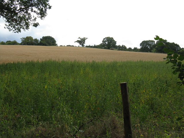
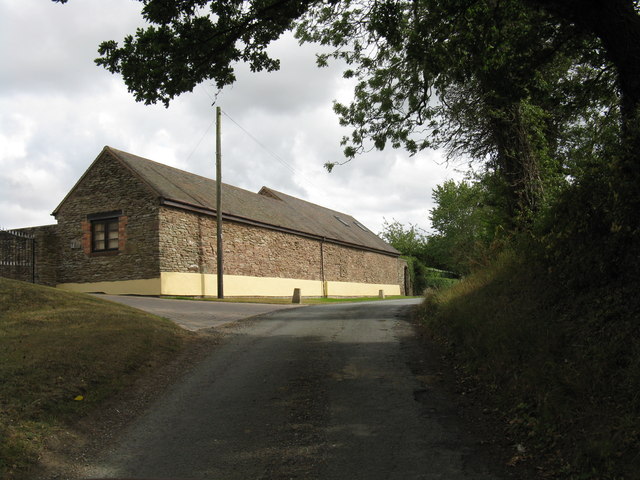
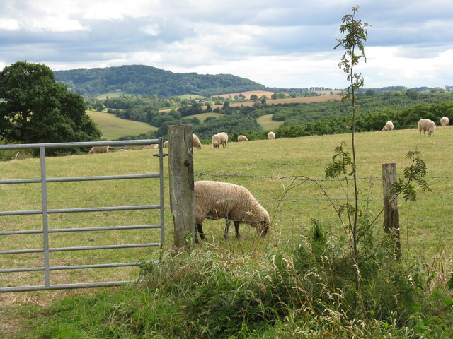
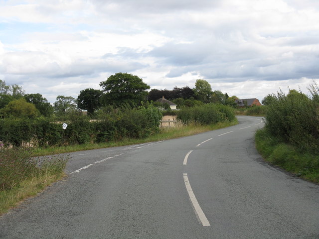
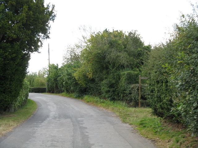
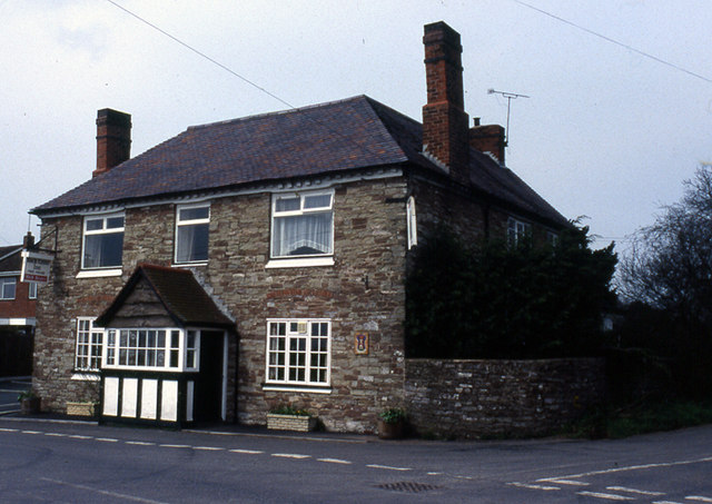
The village is characterized by its charming cottages and traditional architecture, which adds to its quintessential English village appeal. The surrounding landscape is dominated by rolling hills and lush green fields, providing a stunning backdrop for residents and visitors alike.
Despite its small size, Heightington boasts a strong sense of community. The residents take great pride in their village and actively engage in various community activities and events throughout the year. The village hall serves as a hub for these gatherings, hosting social events, clubs, and meetings.
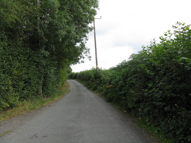
While Heightington may lack some amenities typically found in larger towns, it benefits from its close proximity to Kidderminster, where residents can access a wider range of facilities such as shops, supermarkets, schools, and healthcare services. The village also benefits from excellent transport links, with easy access to major roads and nearby train stations, allowing for convenient commuting to surrounding areas.
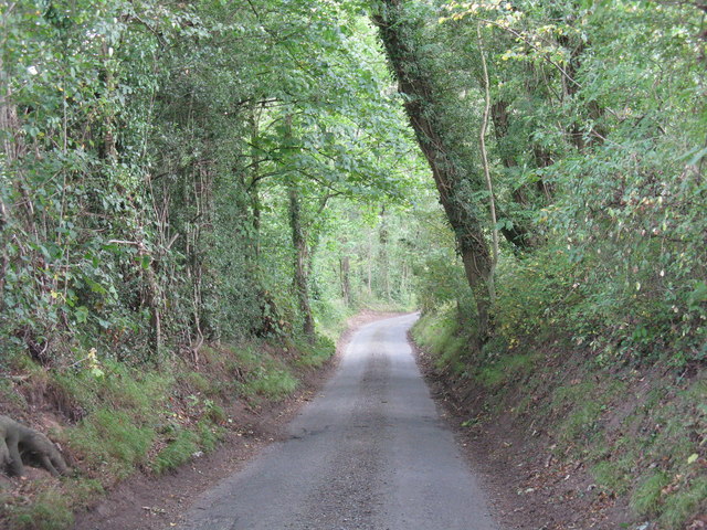
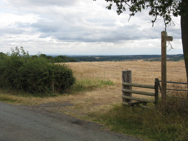
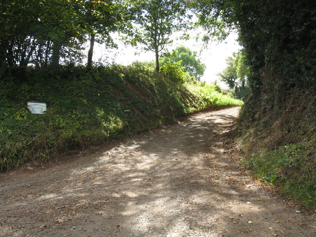
For nature enthusiasts, Heightington offers ample opportunities to explore the surrounding countryside through its network of footpaths and bridleways. The nearby Wyre Forest, a designated Area of Outstanding Natural Beauty, is a popular destination for outdoor activities, including walking, cycling, and birdwatching.
Overall, Heightington provides a tranquil and picturesque setting, offering residents a charming village lifestyle while still being within reach of larger towns and natural wonders.
If you have any feedback on the listing, please let us know in the comments section below.
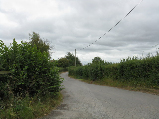
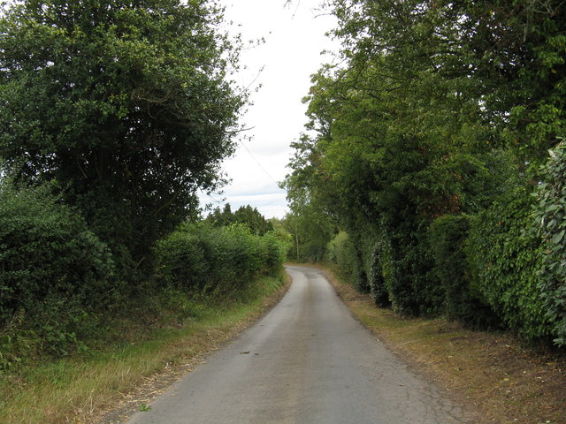
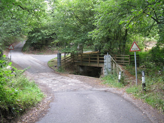
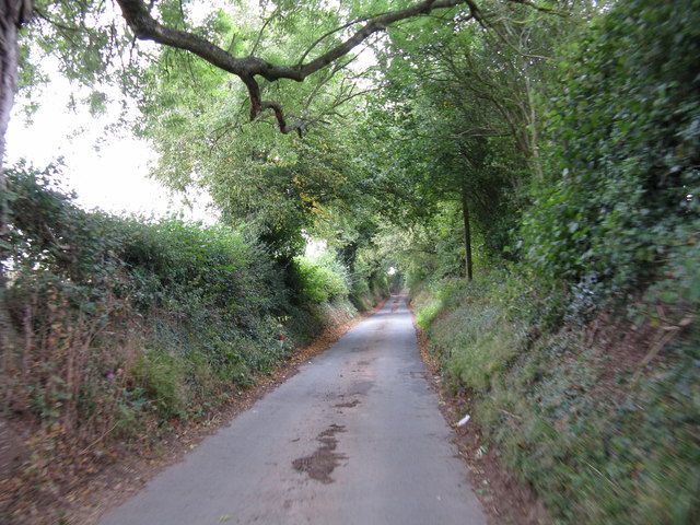
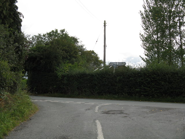
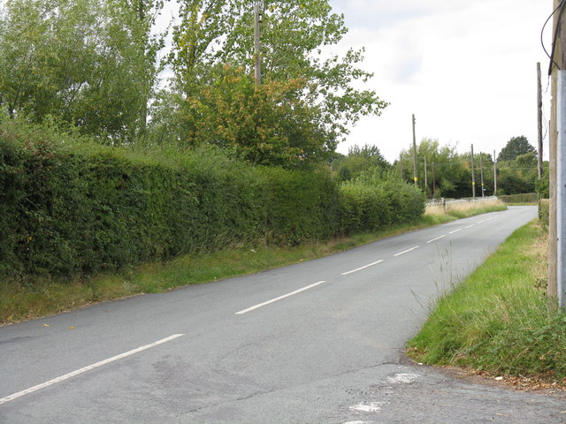
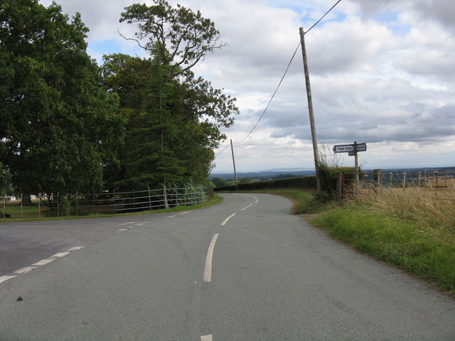
Heightington Images
Images are sourced within 2km of 52.340649/-2.356499 or Grid Reference SO7571. Thanks to Geograph Open Source API. All images are credited.

Heightington is located at Grid Ref: SO7571 (Lat: 52.340649, Lng: -2.356499)
Administrative County: Worcestershire
District: Wyre Forest
Police Authority: West Mercia
What 3 Words
///fear.showed.fillings. Near Bewdley, Worcestershire
Nearby Locations
Related Wikis

Heightington
Heightington is a small village in Worcestershire, England. It lies a little to the south-west of Bewdley and a little to the west of Stourport-on-Severn...

Bliss Gate
Bliss Gate is a small village in Worcestershire, England. It had many attractive tourist landmarks such as the Bliss Gate Inn (now closed) and a village...
Rock, Worcestershire
Rock is a village and civil parish in the Wyre Forest District of Worcestershire, England, which lies south-west of Bewdley. It had a population of 2,366...

Rock moated site and medieval village
Rock moated site and medieval village is an archaeological site, including a deserted medieval village, in Worcestershire, England, near the village of...
Nearby Amenities
Located within 500m of 52.340649,-2.356499Have you been to Heightington?
Leave your review of Heightington below (or comments, questions and feedback).