Ravensgate Hill

Hill, Mountain in Gloucestershire Cotswold

England

Ravensgate Hill

Lane towards Upper Dowdeswell Looking east from near Castle Barn Farm.
Lane towards Upper Dowdeswell Credit: Jonathan Billinger

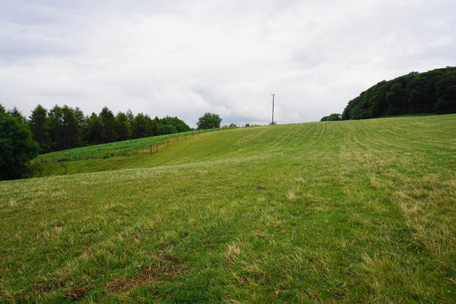
Ravensgate Hill is a prominent hill located in Gloucestershire, England. Situated in the Cotswold Hills, it offers breathtaking panoramic views of the surrounding countryside. Rising to an elevation of approximately 240 meters (790 feet), Ravensgate Hill is considered one of the higher points in the area, making it a popular spot for hikers and nature enthusiasts.

Covered in lush greenery and dotted with vibrant wildflowers, the hill boasts a rich biodiversity. It is home to a variety of bird species, including ravens, which are believed to have inspired its name. The hill's unique geological features, characterized by layers of limestone and sandstone, make it a fascinating site for geological studies and provide evidence of its ancient origins.

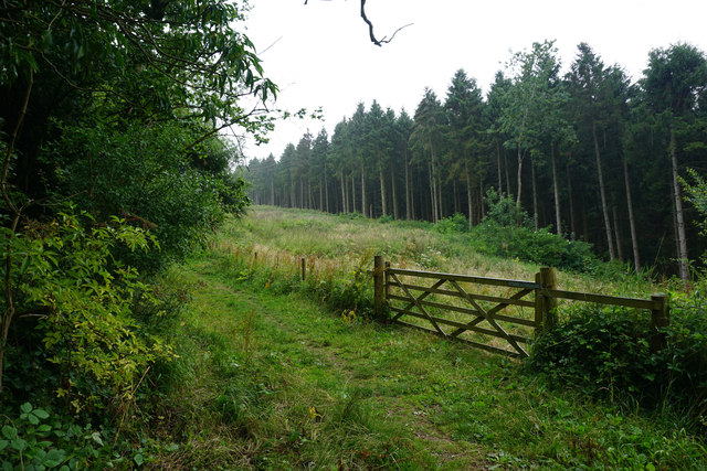
Ravensgate Hill offers several walking trails that cater to different levels of difficulty, making it accessible to both experienced hikers and casual walkers. These paths wind through rolling meadows, ancient woodlands, and offer captivating views of the nearby valleys and villages. The hill is especially picturesque during the spring and summer months when the landscape is adorned with vibrant colors and the air is filled with the sweet scent of blooming flowers.

In addition to its natural beauty, Ravensgate Hill holds historical significance as well. It is believed to have been a site of human activity dating back thousands of years. Archaeological remains and artifacts found in the area suggest that it was inhabited during prehistoric times, making it a site of interest for history buffs and researchers.

Overall, Ravensgate Hill in Gloucestershire offers a perfect blend of natural beauty, recreational opportunities, and historical significance, making it a must-visit destination for anyone seeking to immerse themselves in the enchanting beauty of the Cotswold Hills.

If you have any feedback on the listing, please let us know in the comments section below.

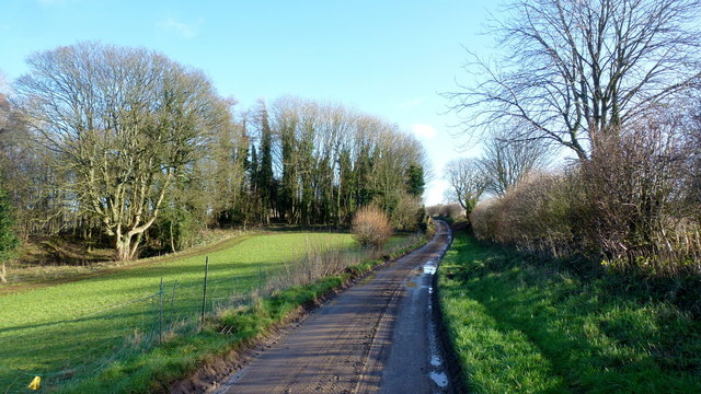
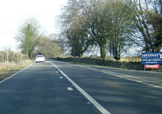
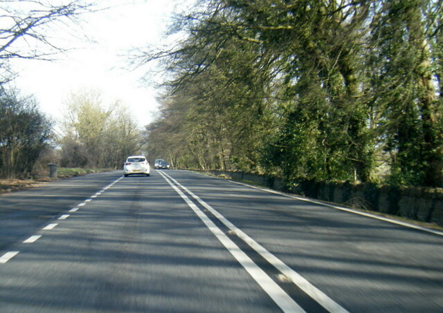
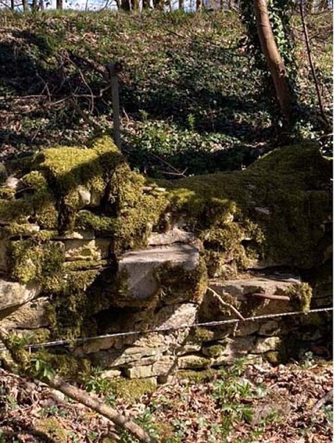
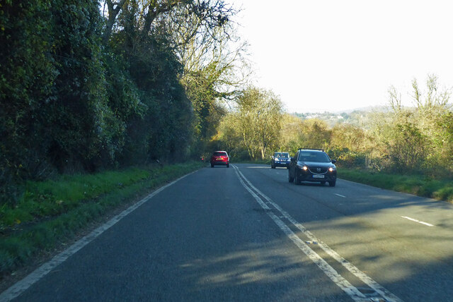
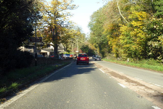
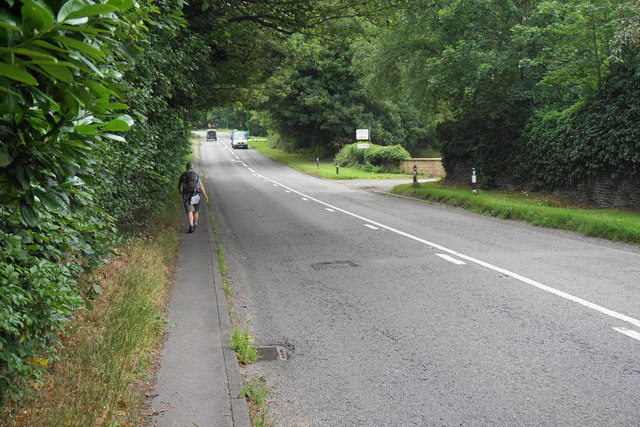
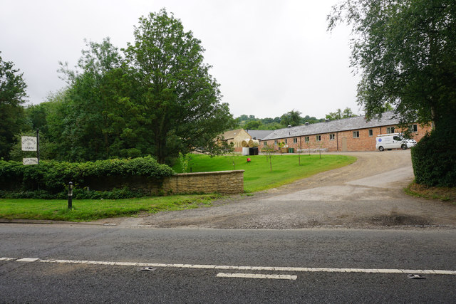
Ravensgate Hill Images

Images are sourced within 2km of 51.864681/-2.0285913 or Grid Reference SO9818. Thanks to Geograph Open Source API. All images are credited.

Lane towards Upper Dowdeswell Looking east from near Castle Barn Farm.
Lane towards Upper Dowdeswell
Looking east from near Castle Barn Farm.
A436 at Wistley Hill
A436 near Peggsworth
Stone Stile, Dowdeswell GS2537 An unusual step stile, looking SW from the A436 to Gloucestershire footpath KDO22. The view looking SW is <a href="https://www.geograph.org.uk/photo/7217967">SO9918 : Stone Stile, Dowdeswell GS2537</a>.
Stone Stile, Dowdeswell GS2537
An unusual step stile, looking SW from the A436 to Gloucestershire footpath KDO22. The view looking SW is SO9918 : Stone Stile, Dowdeswell GS2537.
Stone Stile, Dowdeswell GS2537 An unusual step stile, looking SE from the A436 to Gloucestershire footpath KDO22. The view looking SE is <a href="https://www.geograph.org.uk/photo/7217966">SO9918 : Stone Stile, Dowdeswell GS2537</a>.
Stone Stile, Dowdeswell GS2537
An unusual step stile, looking SE from the A436 to Gloucestershire footpath KDO22. The view looking SE is SO9918 : Stone Stile, Dowdeswell GS2537.
Seven Springs roundabout on the A436
A435 Cirencester Road Towards Cheltenham.
A435 Cirencester Road
Towards Cheltenham.
A435 Cirencester Road Towards Cheltenham.
A435 Cirencester Road
Towards Cheltenham.
A435 Cirencester Road Towards Cheltenham.
A435 Cirencester Road
Towards Cheltenham.
The A40 passing Coxhorne Farm This part of the road mercifully still has a pavement to walk on.
The A40 passing Coxhorne Farm
This part of the road mercifully still has a pavement to walk on.
Coxhorne Farm Right on the edge of the Cheltenham conurbation.
Coxhorne Farm
Right on the edge of the Cheltenham conurbation.
Derelict water treatment works below Dowdeswell Reservoir In the valley of the Chelt, which flows just beyond this site.
Derelict water treatment works below Dowdeswell Reservoir
In the valley of the Chelt, which flows just beyond this site.
Small industrial estate below Dowdeswell Right on the edge of the Cheltenham conurbation but well sited on the A40.
Small industrial estate below Dowdeswell
Right on the edge of the Cheltenham conurbation but well sited on the A40.
The Cotswold Way above Dowdeswell A damp day. I hoped for more of a view but the trees prevented that.
The Cotswold Way above Dowdeswell
A damp day. I hoped for more of a view but the trees prevented that.
Trees in Lineover Wood Many trees are young, but there are some mature ones too.
Trees in Lineover Wood
Many trees are young, but there are some mature ones too.
Field above Dowdeswell There is a crop growing to the left which on the map is still shown as part of the woodland. A farm is just over the brow.
Field above Dowdeswell
There is a crop growing to the left which on the map is still shown as part of the woodland. A farm is just over the brow.
Field above Dowdeswell Because of the band of woodland, you don't get a view into the valley where the River Chelt flows.
Field above Dowdeswell
Because of the band of woodland, you don't get a view into the valley where the River Chelt flows.
Path into Lineover Wood This is now the route of the Cotswold Way, but formerly it stayed in the woods ahead.
Path into Lineover Wood
This is now the route of the Cotswold Way, but formerly it stayed in the woods ahead.
Show me another place!

Ravensgate Hill is located at Grid Ref: SO9818 (Lat: 51.864681, Lng: -2.0285913)

Administrative County: Gloucestershire

District: Cotswold

Police Authority: Gloucestershire

What 3 Words

///syndicate.survey.mammoth. Near Charlton Kings, Gloucestershire

Related Wikis

Lineover Wood

Lineover Wood (grid reference SO987187) is a 20.3-hectare (50-acre) biological Site of Special Scientific Interest in Gloucestershire, notified in 1986...

Dowdeswell Reservoir

Dowdeswell Reservoir and former water treatment works lie below the parish of Dowdeswell in Gloucestershire. They were originally built by Cheltenham...

A40 road

The A40 is a trunk road which runs between London and Goodwick (Fishguard), Wales, and officially called The London to Fishguard Trunk Road (A40) in all...

Seven Springs, Gloucestershire

Seven Springs is a hamlet in the heavily wooded parish of Coberley in the Cotswold District of Gloucestershire in England, 4 miles (6.4 km) south of Cheltenham...

Nearby Amenities

Located within 500m of 51.864681,-2.0285913
Wistley Hill
Created By: Potlatch 0.10f
Place: locality
Lat/Long: 51.8625332/-2.0346342
Power: tower
Ref: ZF 331
Source: bing
Source Ref: extrapolation
Lat/Long: 51.8677692/-2.0287469
Power: tower
Source: bing
Lat/Long: 51.8619889/-2.0286299
Power: tower
Ref: ZF 332
Source: bing
Source Ref: survey
Lat/Long: 51.8648822/-2.0286142
Ravensgate Hill
Place: locality
Lat/Long: 51.8651673/-2.0281575
Source: NLS
Lat/Long: 51.8680484/-2.0279222
Information: guidepost
Tourism: information
Lat/Long: 51.8643344/-2.0254627
Information: guidepost
Tourism: information
Lat/Long: 51.8641197/-2.0330302
Bench
Lat/Long: 51.8646903/-2.0222013
Information: guidepost
Tourism: information
Lat/Long: 51.8664366/-2.0266506
Tourism: information
Lat/Long: 51.8640962/-2.0330198
Information: guidepost
Tourism: information
Lat/Long: 51.8643558/-2.0253538
Tourism: information
Lat/Long: 51.865025/-2.0280721
California Farm
Power: pole
Transformer: distribution
Voltage Primary: 11000
Lat/Long: 51.8678323/-2.0310907
Power: pole
Lat/Long: 51.8682861/-2.0302579
Power: pole
Lat/Long: 51.8687358/-2.0294559
Old Dole Farm
Power: pole
Transformer: distribution
Voltage Primary: 11000
Lat/Long: 51.867398/-2.0260783
Power: pole
Lat/Long: 51.8679806/-2.0264572
Power: pole
Lat/Long: 51.8685311/-2.0268433
The data included in this document is from www.openstreetmap.org. The data is made available under ODbL.

Have you been to Ravensgate Hill?

Leave your review of Ravensgate Hill below (or comments, questions and feedback).