Lineover Wood

Wood, Forest in Gloucestershire Cotswold

England

Lineover Wood

Communication Mast, St Paul's Epistle Sited near the summit of St.Paul's Epistle this communications mast overlooks the A436 and much lower down in the valley the A40.
Communication Mast, St Paul's Epistle Credit: Terry Jacombs

Lineover Wood is a picturesque woodland located in Gloucestershire, England. Covering an area of approximately 160 acres, it is a popular destination for nature lovers and outdoor enthusiasts. The woodland is situated near the village of Coberley, just a few miles away from the town of Cheltenham.

Lineover Wood is predominantly composed of native broadleaf trees, including oak, beech, and ash, which create a dense canopy that provides shelter and habitat for a variety of wildlife. The woodland also boasts an impressive carpet of bluebells in the spring, creating a stunning and vibrant display of color.

The wood is crisscrossed by a network of well-maintained footpaths and trails, making it easily accessible for walkers and hikers. These paths lead visitors through the enchanting woodland, offering breathtaking views of the surrounding countryside and glimpses of wildlife such as deer, squirrels, and a diverse array of bird species.

In addition to its natural beauty, Lineover Wood has historical significance. It was once part of a larger estate and has remnants of ancient earthworks, including banks and ditches, which date back to the Iron Age. These historical features add an extra layer of intrigue and fascination to the woodland.

Lineover Wood provides a tranquil retreat from the hustle and bustle of urban life, offering visitors the opportunity to connect with nature and enjoy the serene surroundings. Whether it's a leisurely stroll, a peaceful picnic, or wildlife spotting, Lineover Wood has something to offer for everyone seeking solace in the beauty of the Gloucestershire countryside.

If you have any feedback on the listing, please let us know in the comments section below.

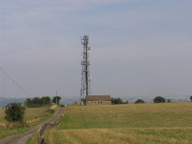
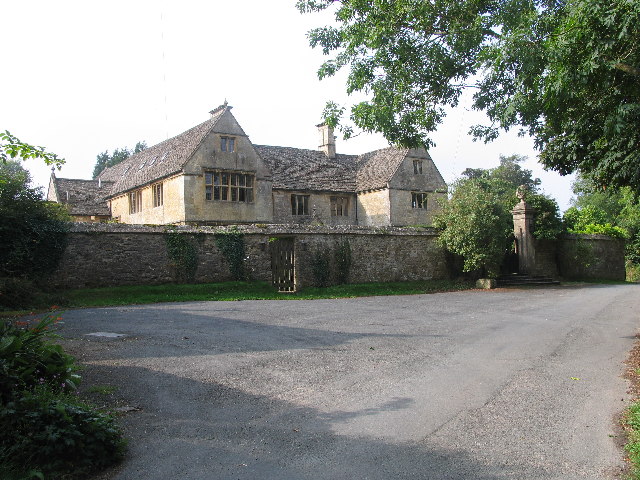
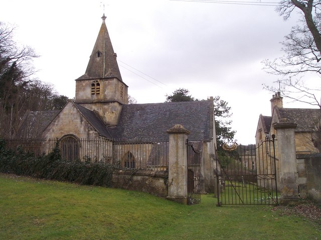
Lineover Wood Images

Images are sourced within 2km of 51.86836/-2.0206928 or Grid Reference SO9818. Thanks to Geograph Open Source API. All images are credited.

Communication Mast, St Paul's Epistle Sited near the summit of St.Paul's Epistle this communications mast overlooks the A436 and much lower down in the valley the A40.
Communication Mast, St Paul's Epistle
Sited near the summit of St.Paul's Epistle this communications mast overlooks the A436 and much lower down in the valley the A40.
A436 at Kilkenny The A436 runs across this square east to west and carries a heavy volume of traffic heading for the M5 from the A40, avoiding Cheltenham, on a narrow A road.
A436 at Kilkenny
The A436 runs across this square east to west and carries a heavy volume of traffic heading for the M5 from the A40, avoiding Cheltenham, on a narrow A road.
The Manor House, Upper Dowdeswell Situated on a dead end lane off a quiet cross country lane, the hamlet of Upper Dowdeswell and its old manor house sees few visitors.
The Manor House, Upper Dowdeswell
Situated on a dead end lane off a quiet cross country lane, the hamlet of Upper Dowdeswell and its old manor house sees few visitors.
Public Water Tap, Upper Dowdeswell This water tap is housed in a purpose built alcove in the walls of the Manor House.
Public Water Tap, Upper Dowdeswell
This water tap is housed in a purpose built alcove in the walls of the Manor House.
Dowdeswell Church Viewed from the north.
Dowdeswell Church
Viewed from the north.
Andoversford Relay Transmitter The transmitter and mast are operated by Arqiva, part of a multinational communications conglomerate with Australian roots, Macquaries.  The site was originally built for the Independent Broadcasting Authority and is an analogue TV relay station for Ridge Hill transmitter nr Much Marcle.
Andoversford Relay Transmitter
The transmitter and mast are operated by Arqiva, part of a multinational communications conglomerate with Australian roots, Macquaries. The site was originally built for the Independent Broadcasting Authority and is an analogue TV relay station for Ridge Hill transmitter nr Much Marcle.
Gloucestershire way towards Foxcote
Footpath towards A436
Road climbing towards St Paul's Epistle
St Paul's Epistle
St Paul's Epistle
Entrance to Kilkenny viewpoint
Old quarry workings at the Kilkenny viewpoint
Picnic table at the Kilkenny viewpoint
Reservoir cover By footpath (Gloucestershire Way) with remains of stile
Reservoir cover
By footpath (Gloucestershire Way) with remains of stile
Dowdeswell Church The church at Lower Dowdeswell serves the parishes of Dowdeswell and Andersford.
Dowdeswell Church
The church at Lower Dowdeswell serves the parishes of Dowdeswell and Andersford.
Dowdeswell Church The church at Lower Dowdeswell serves the parishes of Dowdeswell and Andersford.
Dowdeswell Church
The church at Lower Dowdeswell serves the parishes of Dowdeswell and Andersford.
The spire of Dowdeswell Church The church at Lower Dowdeswell serves the parishes of Dowdeswell and Andersford.
The spire of Dowdeswell Church
The church at Lower Dowdeswell serves the parishes of Dowdeswell and Andersford.
Stained glass window, Dowdeswell Church Stained glass in the east window of Dowdeswell Church.
Stained glass window, Dowdeswell Church
Stained glass in the east window of Dowdeswell Church.
Show me another place!

Lineover Wood is located at Grid Ref: SO9818 (Lat: 51.86836, Lng: -2.0206928)

Administrative County: Gloucestershire

District: Cotswold

Police Authority: Gloucestershire

What 3 Words

///cherubs.herbs.tight. Near Charlton Kings, Gloucestershire

Related Wikis

Lineover Wood

Lineover Wood (grid reference SO987187) is a 20.3-hectare (50-acre) biological Site of Special Scientific Interest in Gloucestershire, notified in 1986...

Dowdeswell Reservoir

Dowdeswell Reservoir and former water treatment works lie below the parish of Dowdeswell in Gloucestershire. They were originally built by Cheltenham...

A40 road

The A40 is a trunk road which runs between London and Goodwick (Fishguard), Wales, and officially called The London to Fishguard Trunk Road (A40) in all...

Dowdeswell

Dowdeswell is a civil parish in the ward of Chedworth, Cotswold, in the ceremonial county of Gloucestershire, England. It is separated into Upper and Lower...

Balcarras School

Balcarras School is an academy school for 11- to 18-year-olds, located in Charlton Kings, Cheltenham, Gloucestershire, England. Since 2016, the school...

DoubleTree by Hilton Cheltenham

DoubleTree by Hilton Cheltenham (earlier known as Cheltenham Park Hotel), Charlton Kings, is a Regency building of historical significance. It was previously...

Battledown

Battledown is a private residential estate in Cheltenham, Gloucestershire, England. In the 19th century a number of such private estates were established...

Charlton Kings railway station

Charlton Kings railway station was a small station in Gloucestershire serving the village of Charlton Kings and the southern outskirts of Cheltenham Spa...

Nearby Amenities

Located within 500m of 51.86836,-2.0206928
Power: tower
Ref: ZF 330
Source: bing
Source Ref: extrapolation
Lat/Long: 51.8702374/-2.0267678
Parking
Description: Layby
Lat/Long: 51.8651261/-2.0157547
Barrier: kissing_gate
Material: wood
Lat/Long: 51.8649551/-2.0200003
Source: NLS
Lat/Long: 51.8680484/-2.0279222
Information: guidepost
Tourism: information
Lat/Long: 51.8657323/-2.0159574
Power: pole
Lat/Long: 51.8688197/-2.0165984
Power: pole
Lat/Long: 51.8679866/-2.016096
Power: pole
Lat/Long: 51.8674733/-2.0146298
Tourism: information
Lat/Long: 51.8652226/-2.0198988
Information: guidepost
Tourism: information
Lat/Long: 51.8684923/-2.0160805
Information: guidepost
Tourism: information
Lat/Long: 51.8688593/-2.016268
Bench
Lat/Long: 51.8646903/-2.0222013
Power: pole
Lat/Long: 51.8726898/-2.0196868
Information: guidepost
Tourism: information
Lat/Long: 51.8658874/-2.0178836
Bench
Lat/Long: 51.8687805/-2.0166737
Information: guidepost
Tourism: information
Lat/Long: 51.8711659/-2.0177888
Information: guidepost
Tourism: information
Lat/Long: 51.8653282/-2.0196514
Information: guidepost
Tourism: information
Lat/Long: 51.8676888/-2.0161252
Information: guidepost
Tourism: information
Lat/Long: 51.8696737/-2.0165593
Information: guidepost
Tourism: information
Lat/Long: 51.8664366/-2.0266506
Location Transition: yes
Power: pole
Lat/Long: 51.8672632/-2.0158635
Tourism: information
Lat/Long: 51.8667431/-2.0161887
Information: guidepost
Tourism: information
Lat/Long: 51.8696871/-2.0165602
Information: guidepost
Tourism: information
Lat/Long: 51.8652243/-2.0199532
Bench
Lat/Long: 51.8724698/-2.0231865
Information: guidepost
Tourism: information
Lat/Long: 51.866035/-2.0158325
Information: guidepost
Tourism: information
Lat/Long: 51.8722273/-2.0191273
Old Dole Farm
Power: pole
Transformer: distribution
Voltage Primary: 11000
Lat/Long: 51.867398/-2.0260783
Power: pole
Lat/Long: 51.8679806/-2.0264572
Power: pole
Lat/Long: 51.8685311/-2.0268433
Power: pole
Lat/Long: 51.8691316/-2.0272645
Pigglesworth House
Power: pole
Transformer: distribution
Voltage Primary: 11000
Lat/Long: 51.8648511/-2.018829
Power: pole
Lat/Long: 51.8692008/-2.0168294
Power: pole
Lat/Long: 51.8695399/-2.0170332
Power: pole
Lat/Long: 51.8703224/-2.0176931
Power: pole
Lat/Long: 51.8710196/-2.0182832
Power: pole
Lat/Long: 51.8714535/-2.0186526
Power: pole
Lat/Long: 51.872207/-2.0192756
The data included in this document is from www.openstreetmap.org. The data is made available under ODbL.

Have you been to Lineover Wood?

Leave your review of Lineover Wood below (or comments, questions and feedback).