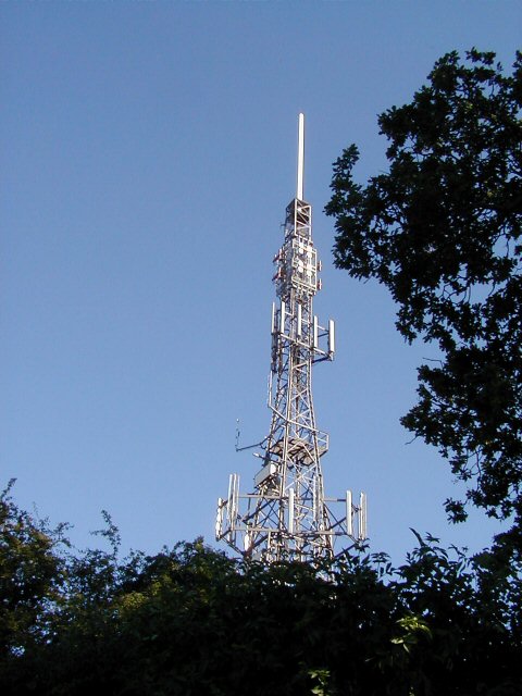
Housman Hill
Hill, Mountain in Worcestershire Bromsgrove
England
Housman Hill
Housman Hill is a prominent landmark located in Worcestershire, England. It is a hill that rises to an elevation of approximately 200 meters (656 feet) above sea level. The hill is named after the famous English poet and scholar, A. E. Housman, who was born in the nearby town of Bromsgrove.
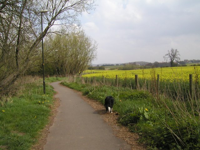
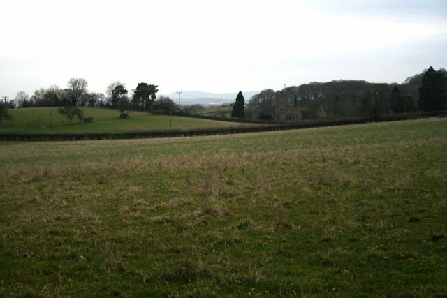
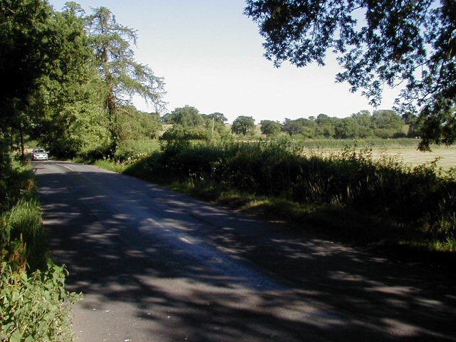
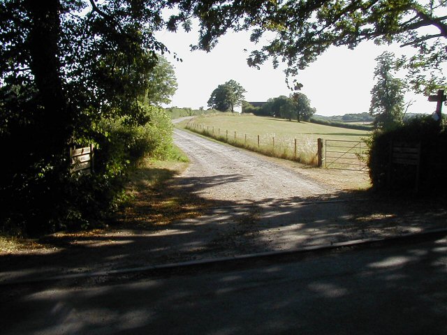
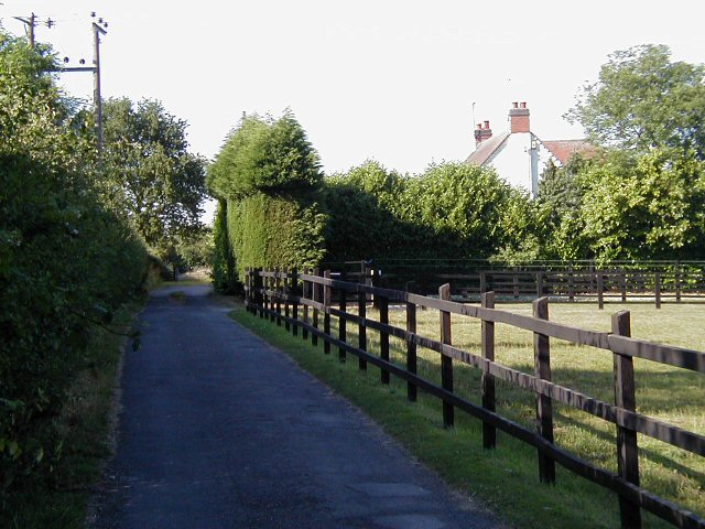
Situated in the Worcestershire countryside, Housman Hill offers breathtaking panoramic views of the surrounding area. The hill is covered with lush green vegetation, including grasses, shrubs, and trees, which add to its natural beauty. The landscape is dotted with occasional rocky outcrops, adding a touch of ruggedness to the scenery.
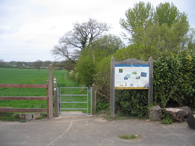
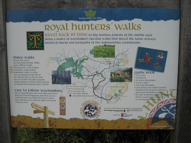
The hill is a popular destination for hikers, nature enthusiasts, and photographers. It offers various footpaths and trails that cater to different skill levels, making it accessible to a wide range of visitors. The paths wind their way up the hill, providing opportunities to explore the diverse flora and fauna that thrive in this area.
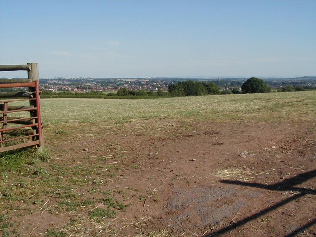
At the summit of Housman Hill, there is a small observation point that offers an uninterrupted view of the Worcestershire countryside. On a clear day, visitors can see for miles, taking in the rolling hills, farmland, and villages that make up the picturesque landscape.
Housman Hill not only provides a recreational space for outdoor activities but also serves as a reminder of the literary legacy of A. E. Housman. With its natural beauty and cultural significance, Housman Hill stands as a testament to the rich history and natural wonders of Worcestershire.
If you have any feedback on the listing, please let us know in the comments section below.
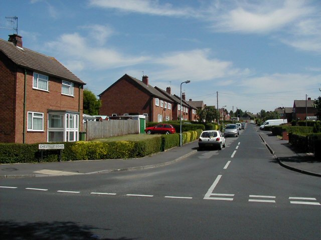
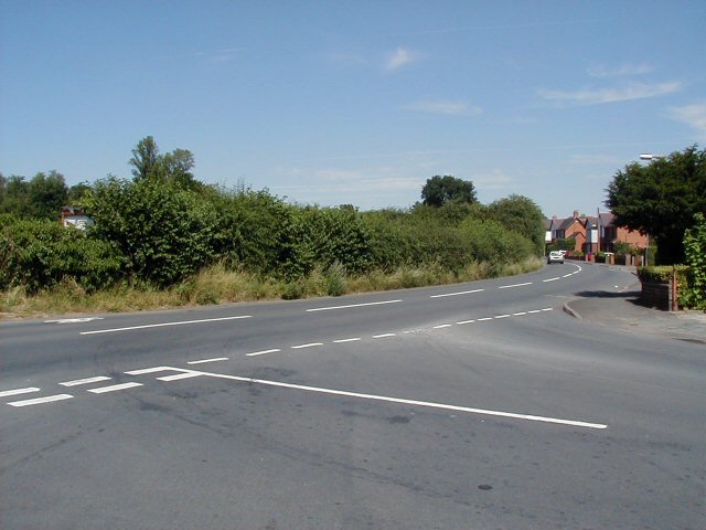
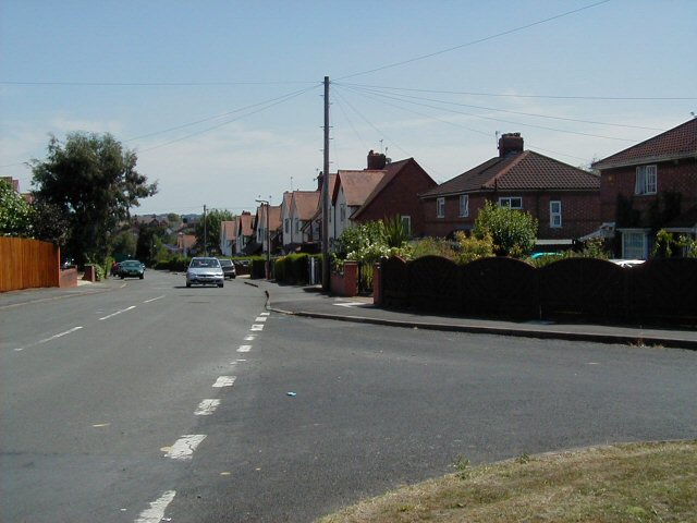
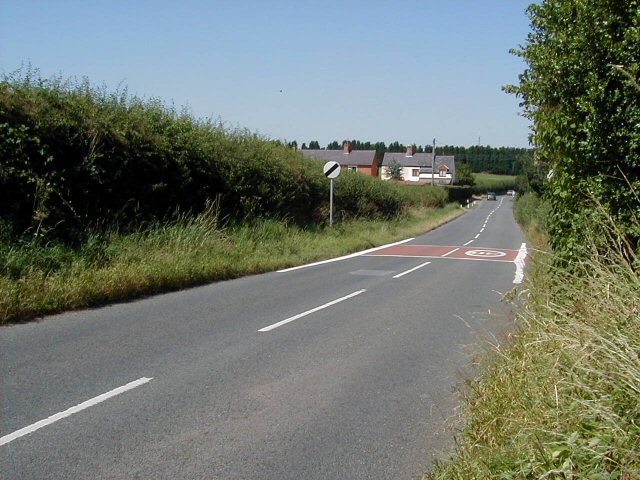
Housman Hill Images
Images are sourced within 2km of 52.354606/-2.078433 or Grid Reference SO9472. Thanks to Geograph Open Source API. All images are credited.

Housman Hill is located at Grid Ref: SO9472 (Lat: 52.354606, Lng: -2.078433)
Administrative County: Worcestershire
District: Bromsgrove
Police Authority: West Mercia
What 3 Words
///newly.twist.unity. Near Bromsgrove, Worcestershire
Nearby Locations
Related Wikis

Alfred's Well, Worcestershire
Alfred's Well is a hamlet in the civil parish of Dodford in the Bromsgrove District of Worcestershire, England. Its nearest town is Bromsgrove. == References... ==
Bournheath
Bournheath is a village and civil parish in the Bromsgrove District of Worcestershire, England, about three miles north of Bromsgrove. According to the...
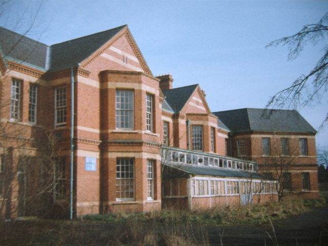
Barnsley Hall Hospital
Barnsley Hall Hospital was a psychiatric facility located in Bromsgrove, Worcestershire. == History == The hospital was based on a 324-acre (131 ha) site...
Dodford Priory
Dodford Priory in the parish of Bromsgrove in Worcestershire in the current village of Dodford, was a small Augustinian monastery. == History == It was...

Catshill
Catshill is a village in Worcestershire about 2.5 miles north of Bromsgrove and 10 miles south-west of Birmingham. The parish of Catshill was formed around...

Dodford, Worcestershire
Dodford is a village in the Bromsgrove district of Worcestershire, England, approximately 3 miles (4.8 km) west of Bromsgrove, officially founded on 2...

Rosedene
Rosedene is a cottage built as part of the Great Dodford Chartist settlement. It is the best preserved example of a Chartist cottage built by the National...
Sidemoor
Sidemoor is a village within the urban area of Bromsgrove, Worcestershire. The local school, Sidemoor First School, opened in 1884 and was relocated in...
Nearby Amenities
Located within 500m of 52.354606,-2.078433Have you been to Housman Hill?
Leave your review of Housman Hill below (or comments, questions and feedback).