Alfred's Well
Settlement in Worcestershire Bromsgrove
England
Alfred's Well

Alfred's Well is a historic landmark located in Worcestershire, England. Situated near the village of Broadway, this well holds significant historical and cultural importance. Named after King Alfred the Great, who is said to have stopped at the well during his travels, it has become a popular tourist attraction.
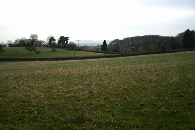
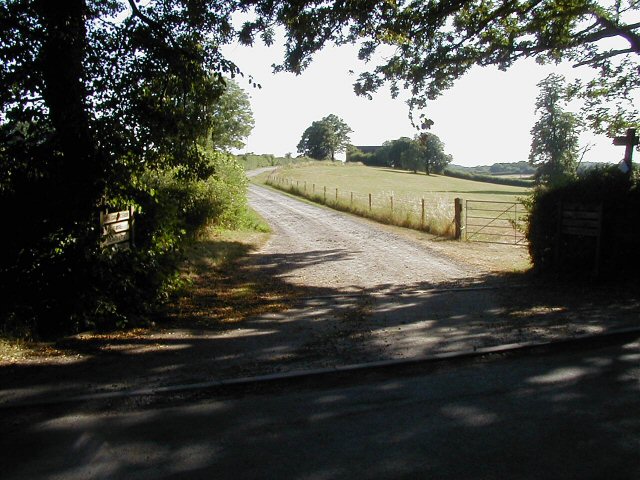
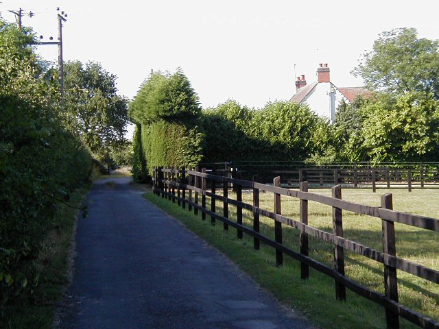
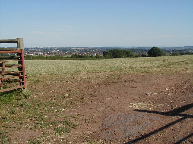
The well is believed to have been a source of clean drinking water for centuries. Its location in a picturesque countryside setting adds to its charm. The well is surrounded by lush green fields and is nestled within a small grove of trees, providing a tranquil atmosphere for visitors.
Alfred's Well is characterized by a stone structure that encloses the well itself. The stone is weathered and aged, showcasing its long-standing presence in the area. A small plaque is affixed to the structure, providing a brief historical background of the well and its association with King Alfred.
Visitors to Alfred's Well often come to admire its historical significance and natural beauty. It is a popular spot for photographers and nature enthusiasts alike, offering a peaceful respite from the hustle and bustle of everyday life.
Overall, Alfred's Well in Worcestershire is a captivating landmark that serves as a reminder of England's rich history. It attracts visitors with its ancient charm, tranquil surroundings, and connection to the legendary King Alfred the Great.
If you have any feedback on the listing, please let us know in the comments section below.
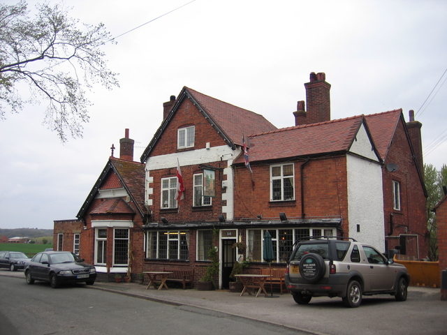
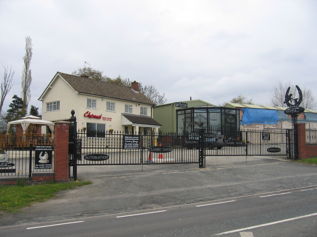
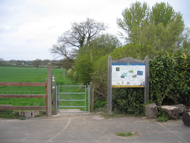
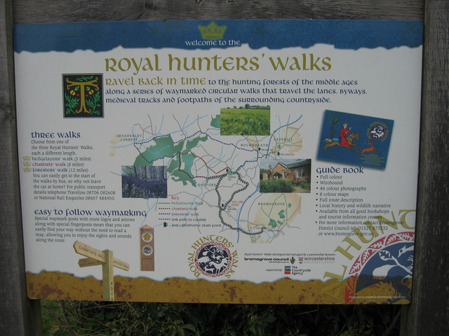
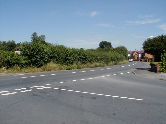
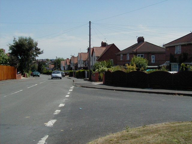
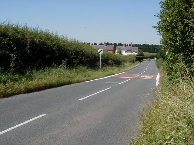
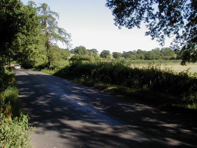
Alfred's Well Images
Images are sourced within 2km of 52.353382/-2.085859 or Grid Reference SO9472. Thanks to Geograph Open Source API. All images are credited.


Alfred's Well is located at Grid Ref: SO9472 (Lat: 52.353382, Lng: -2.085859)
Administrative County: Worcestershire
District: Bromsgrove
Police Authority: West Mercia
What 3 Words
///crossings.healers.simulations. Near Bromsgrove, Worcestershire
Nearby Locations
Related Wikis

Alfred's Well, Worcestershire
Alfred's Well is a hamlet in the civil parish of Dodford in the Bromsgrove District of Worcestershire, England. Its nearest town is Bromsgrove. == References... ==
Dodford Priory
Dodford Priory in the parish of Bromsgrove in Worcestershire in the current village of Dodford, was a small Augustinian monastery. == History == It was...

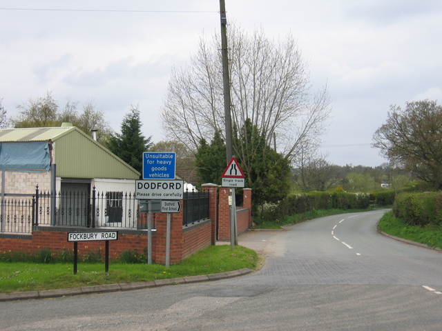
Dodford, Worcestershire
Dodford is a village in the Bromsgrove district of Worcestershire, England, approximately 3 miles (4.8 km) west of Bromsgrove, officially founded on 2...

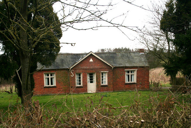
Rosedene
Rosedene is a cottage built as part of the Great Dodford Chartist settlement. It is the best preserved example of a Chartist cottage built by the National...
Bournheath
Bournheath is a village and civil parish in the Bromsgrove District of Worcestershire, England, about three miles north of Bromsgrove. According to the...
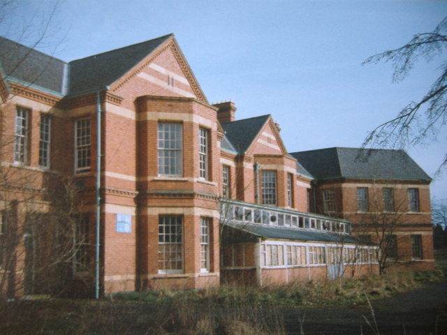
Barnsley Hall Hospital
Barnsley Hall Hospital was a psychiatric facility located in Bromsgrove, Worcestershire. == History == The hospital was based on a 324-acre (131 ha) site...
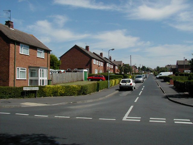
Sidemoor
Sidemoor is a village within the urban area of Bromsgrove, Worcestershire. The local school, Sidemoor First School, opened in 1884 and was relocated in...

A448 road
The A448 is a main road in England running between Studley in Warwickshire and Kidderminster in Worcestershire. == Route == The A448 starts at a fork junction...
Nearby Amenities
Located within 500m of 52.353382,-2.085859Have you been to Alfred's Well?
Leave your review of Alfred's Well below (or comments, questions and feedback).