Worms Ash
Settlement in Worcestershire Bromsgrove
England
Worms Ash

Worms Ash is a small village located in the county of Worcestershire, England. Situated near the town of Droitwich Spa, it is nestled amidst the picturesque countryside of the West Midlands region. The village derives its name from the Old English word "worm", meaning serpent or dragon, and "ash", referring to the presence of ash trees in the area.
Despite its modest size, Worms Ash boasts a rich history that dates back centuries. It is believed that the village was established during the Anglo-Saxon era, with evidence of early human activity unearthed in nearby archaeological digs. Over the years, Worms Ash has evolved from an agricultural settlement into a quiet residential community.
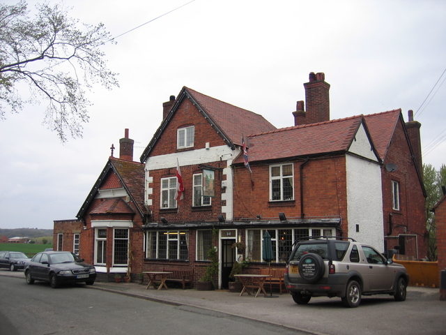
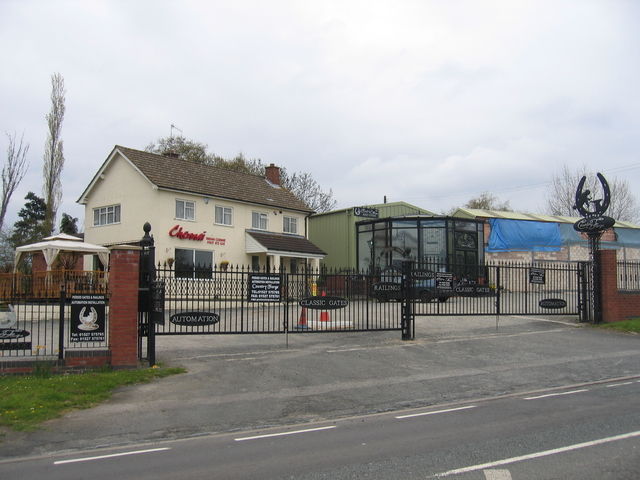
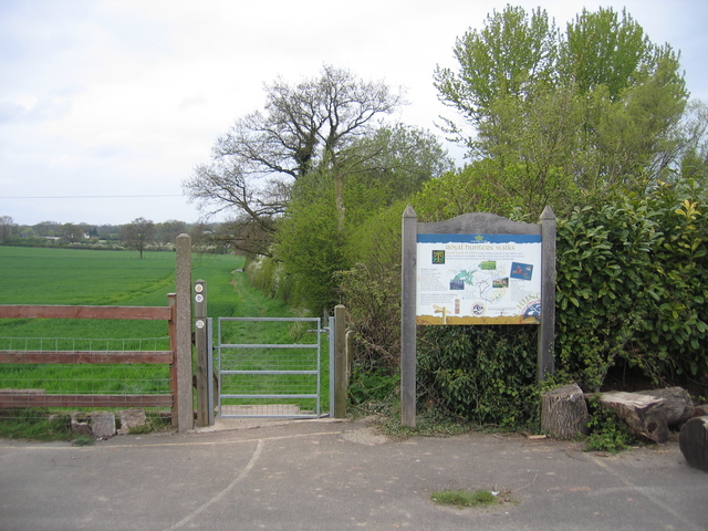
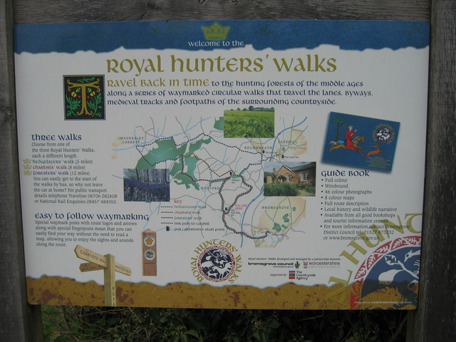
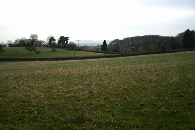
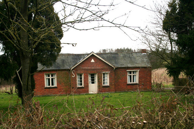
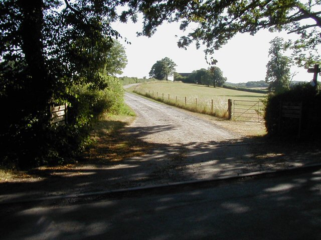
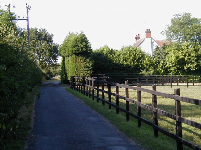
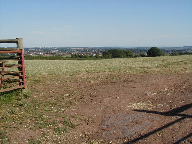
The village is characterized by its charming rural setting, with rolling green fields and meandering streams that add to its natural beauty. The surrounding countryside provides ample opportunities for outdoor activities such as walking, hiking, and cycling. Additionally, Worms Ash is dotted with quaint cottages and historic buildings, showcasing its traditional English heritage.
Although Worms Ash is primarily a residential area, it is well-connected to nearby towns and cities. The village benefits from good transportation links, with easy access to major roads and public transport services. This allows residents to enjoy the tranquility of village life while still being within reach of amenities and employment opportunities.
In conclusion, Worms Ash is a small village with a rich history and idyllic countryside surroundings. Its peaceful atmosphere and strategic location make it an attractive place to live for those seeking a rural retreat within reach of urban conveniences.
If you have any feedback on the listing, please let us know in the comments section below.
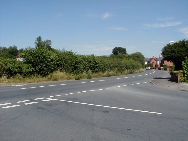
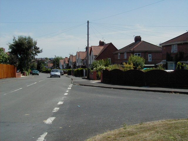
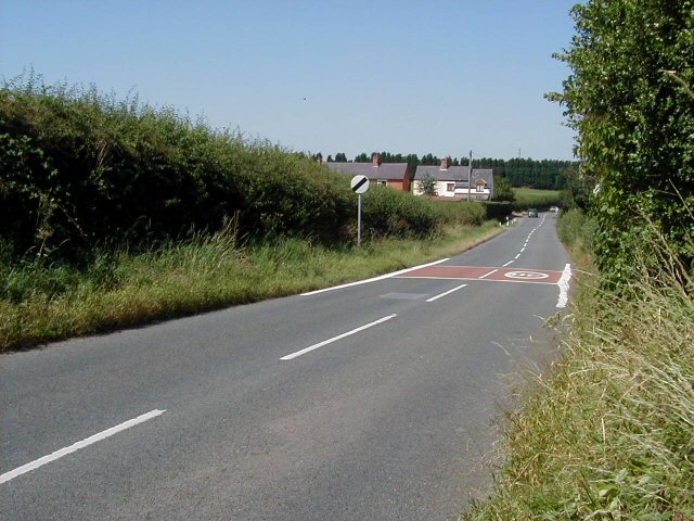
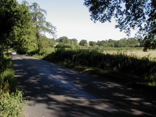
Worms Ash Images
Images are sourced within 2km of 52.35313/-2.0804565 or Grid Reference SO9472. Thanks to Geograph Open Source API. All images are credited.


Worms Ash is located at Grid Ref: SO9472 (Lat: 52.35313, Lng: -2.0804565)
Administrative County: Worcestershire
District: Bromsgrove
Police Authority: West Mercia
What 3 Words
///slot.relay.shins. Near Bromsgrove, Worcestershire
Nearby Locations
Related Wikis

Alfred's Well, Worcestershire
Alfred's Well is a hamlet in the civil parish of Dodford in the Bromsgrove District of Worcestershire, England. Its nearest town is Bromsgrove. == References... ==
Bournheath
Bournheath is a village and civil parish in the Bromsgrove District of Worcestershire, England, about three miles north of Bromsgrove. According to the...
Dodford Priory
Dodford Priory in the parish of Bromsgrove in Worcestershire in the current village of Dodford, was a small Augustinian monastery. == History == It was...

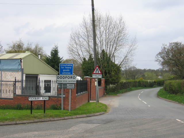
Dodford, Worcestershire
Dodford is a village in the Bromsgrove district of Worcestershire, England, approximately 3 miles (4.8 km) west of Bromsgrove, officially founded on 2...
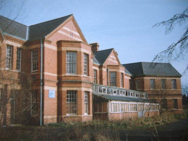
Barnsley Hall Hospital
Barnsley Hall Hospital was a psychiatric facility located in Bromsgrove, Worcestershire. == History == The hospital was based on a 324-acre (131 ha) site...

Rosedene
Rosedene is a cottage built as part of the Great Dodford Chartist settlement. It is the best preserved example of a Chartist cottage built by the National...

Catshill
Catshill is a village in Worcestershire about 2.5 miles north of Bromsgrove and 10 miles south-west of Birmingham. The parish of Catshill was formed around...
Sidemoor
Sidemoor is a village within the urban area of Bromsgrove, Worcestershire. The local school, Sidemoor First School, opened in 1884 and was relocated in...
Nearby Amenities
Located within 500m of 52.35313,-2.0804565Have you been to Worms Ash?
Leave your review of Worms Ash below (or comments, questions and feedback).